|
Tadpole Bridge
Tadpole Bridge is a road bridge across the River Thames in Oxfordshire, England, carrying a road between Bampton to the north and Buckland to the south. It crosses the Thames on the reach above Shifford Lock. It is a Grade II listed building. The bridge dates from the late 18th century, the earliest reference to it being in 1784. It is built of stone, and consists of one large arch. There is a public house near Tadpole Bridge called The Trout. Thacker noted that at one time the legend over the door read ''"The Trout, kept by A. Herring"''. The Trout is now a hotel and gastropub. The Thames Path crosses Tadpole Bridge. See also *Crossings of the River Thames The River Thames is the second-longest river in the United Kingdom, passes through the capital city, and has many crossings. Counting every channel – such as by its islands linked to only one bank – it is crossed by over 300 brid ... References Bridges across the River Thames Bridges in ... [...More Info...] [...Related Items...] OR: [Wikipedia] [Google] [Baidu] |
Thames Path
The Thames Path is a National Trail following the River Thames from its source near Kemble, Gloucestershire, Kemble in Gloucestershire to the Woolwich foot tunnel, south east London. It is about long. A path was first proposed in 1948 but it only opened in 1996. The Thames Path's entire length can be walked, and a few parts can be cycled. Some parts of the Thames Path, particularly west of Oxford, are subject to flooding during the winter. The river is also Tide, tidal downstream from Teddington Lock and the lower parts of these paths may be underwater if there is a particularly high tide, although the Thames Barrier protects London from catastrophic flooding. The Thames Path uses the river towpath between Inglesham and Putney and available paths elsewhere. Historically, towpath traffic crossed the river using many ferry, ferries, but few of these crossings exist now and some diversion from the towpath is necessary. Description and access to the river The general aim of the pa ... [...More Info...] [...Related Items...] OR: [Wikipedia] [Google] [Baidu] |
River Thames
The River Thames ( ), known alternatively in parts as the The Isis, River Isis, is a river that flows through southern England including London. At , it is the longest river entirely in England and the Longest rivers of the United Kingdom, second-longest in the United Kingdom, after the River Severn. The river rises at Thames Head in Gloucestershire, and flows into the North Sea near Tilbury, Essex and Gravesend, Kent, via the Thames Estuary. From the west it flows through Oxford (where it is sometimes called the Isis), Reading, Berkshire, Reading, Henley-on-Thames and Windsor, Berkshire, Windsor. The Thames also drains the whole of Greater London. In August 2022, the source of the river moved five miles to beyond Somerford Keynes due to the heatwave in July 2022. The lower reaches of the river are called the Tideway, derived from its long tidal reach up to Teddington Lock. Its tidal section includes most of its London stretch and has a rise and fall of . From Oxford to th ... [...More Info...] [...Related Items...] OR: [Wikipedia] [Google] [Baidu] |
Bampton, Oxfordshire
Bampton, also called Bampton-in-the-Bush, is a settlement and civil parish in the Thames Valley about southwest of Witney in Oxfordshire. The parish includes the hamlet of Weald. The 2011 Census recorded the parish's population as 2,564. Bampton is variously referred to as both a town and a village. The Domesday Book recorded that it was a market town by 1086. It continued as such until the 1890s. It has both a town hall and a village hall. Geography The core of the village is on gravel terraces formed of Summertown-Radley or flood plain terrace deposits. It is just east of Shill Brook, which flows south to join the River Thames, and just north of a smaller stream that flows west to join Shill Brook. The A4095 road passes through the village. The civil parish measures about north – south and about east – west. It is bounded to the south by the River Thames, to the east by Aston Ditch, and to the west and north by ditches and field boundaries. A small part of the airfi ... [...More Info...] [...Related Items...] OR: [Wikipedia] [Google] [Baidu] |
Oxfordshire
Oxfordshire is a ceremonial and non-metropolitan county in the north west of South East England. It is a mainly rural county, with its largest settlement being the city of Oxford. The county is a centre of research and development, primarily due to the work of the University of Oxford and several notable science parks. These include the Harwell Science and Innovation Campus and Milton Park, both situated around the towns of Didcot and Abingdon-on-Thames. It is a landlocked county, bordered by six counties: Berkshire to the south, Buckinghamshire to the east, Wiltshire to the south west, Gloucestershire to the west, Warwickshire to the north west, and Northamptonshire to the north east. Oxfordshire is locally governed by Oxfordshire County Council, together with local councils of its five non-metropolitan districts: City of Oxford, Cherwell, South Oxfordshire, Vale of White Horse, and West Oxfordshire. Present-day Oxfordshire spanning the area south of the Thames was h ... [...More Info...] [...Related Items...] OR: [Wikipedia] [Google] [Baidu] |
Oxfordshire County Council
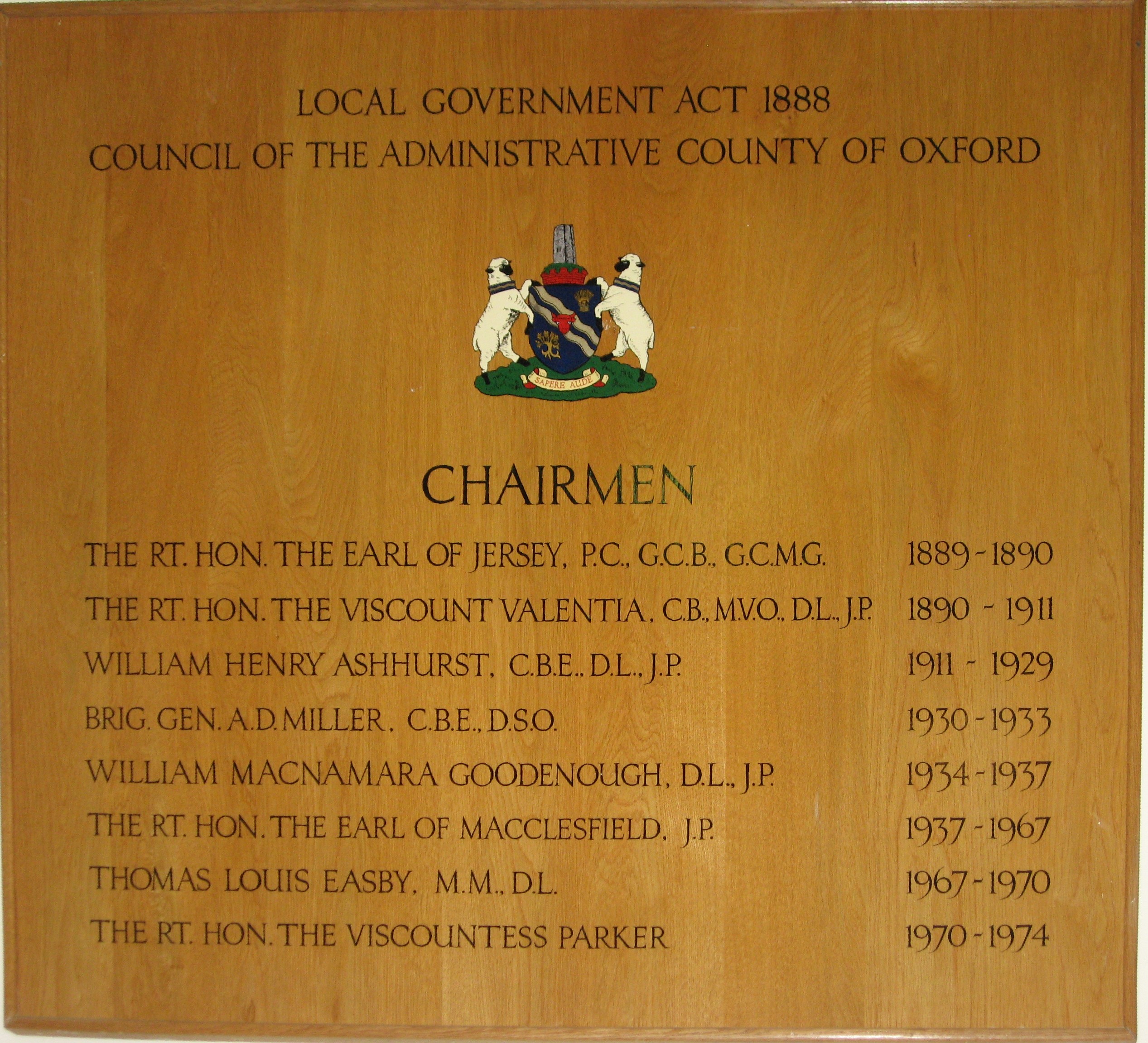
Oxfordshire County Council is the county council (upper-tier local authority) for the non-metropolitan county of Oxfordshire in the South East of England. It is an elected body responsible for some local government services in the county, including education (schools, libraries and youth services), social services, public health, highway maintenance, waste disposal, emergency planning, consumer protection and town and country planning for matters to do with minerals, waste, highways and education. It is one of the largest employers in Oxfordshire and has a gross expenditure budget of £856.2 million for the 2021–22 financial year. History County councils were first introduced in England and Wales with full powers from 22 September 1889 as a result of the Local Government Act 1888, taking over administrative functions until then carried out by the unelected quarter sessions. The areas they covered were termed administrative counties and were not in all cases identical to the tr ... [...More Info...] [...Related Items...] OR: [Wikipedia] [Google] [Baidu] |
Buckland, Oxfordshire
Buckland is a village and large civil parish about northeast of Faringdon in the Vale of White Horse District. Buckland was part of Berkshire until the 1974 boundary changes transferred it to Oxfordshire. The 2011 Census recorded the parish's population as 588. Outside the village the civil parish includes the small settlements of Carswell and Barcote to the west, Buckland Marsh to the north, and the modern development of Gainfield on the southern boundary. Geography The parish is an irregular shape, measuring about north – south and east – west at its widest point. In 1924 the area of the parish was . The River Thames forms the northern boundary of the parish, just over north of the village. Until 1974 this was also the Berkshire county boundary with Oxfordshire. Streams that flow into the River Ock form its southern boundary. It is bounded by field boundaries to the east and west. The soil of the parish is a rich, sandy loam on a geology of Corallian Limestone and ... [...More Info...] [...Related Items...] OR: [Wikipedia] [Google] [Baidu] |
Shifford Lock
Shifford Lock is a lock on the River Thames in England. It is in the centre of a triangle formed by the small villages of Shifford, Duxford and Chimney in Oxfordshire. It is at the start of a navigation cut built with the lock by the Thames Conservancy in 1898. This was the only new lock built on the non-tidal Thames in the era of falling revenue after the Thames Conservancy took over responsibilities of the Thames Navigation Commission. It replaced a flash lock in a weir about downstream. There is a small weir beside the lock and a larger weir on the old course of the river upstream at the top of the lock cut. History The original flash lock was in a weir close to the entrance to Great Brook. This was removed between 1829 and 1853, and there were later complaints about the lack of draught in the river. Discussion of the possibility of the new lock only began in 1896 and two years later it was open. The lock cut was based on a pre-existing side channel which was considerably w ... [...More Info...] [...Related Items...] OR: [Wikipedia] [Google] [Baidu] |
Listed Building
In the United Kingdom, a listed building or listed structure is one that has been placed on one of the four statutory lists maintained by Historic England in England, Historic Environment Scotland in Scotland, in Wales, and the Northern Ireland Environment Agency in Northern Ireland. The term has also been used in the Republic of Ireland, where buildings are protected under the Planning and Development Act 2000. The statutory term in Ireland is " protected structure". A listed building may not be demolished, extended, or altered without special permission from the local planning authority, which typically consults the relevant central government agency, particularly for significant alterations to the more notable listed buildings. In England and Wales, a national amenity society must be notified of any work to a listed building which involves any element of demolition. Exemption from secular listed building control is provided for some buildings in current use for worship, ... [...More Info...] [...Related Items...] OR: [Wikipedia] [Google] [Baidu] |
Public House
A pub (short for public house) is a kind of drinking establishment which is licensed to serve alcoholic drinks for consumption on the premises. The term ''public house'' first appeared in the United Kingdom in late 17th century, and was used to differentiate private houses from those which were, quite literally, open to the public as "alehouses", "taverns" and "inns". By Georgian times, the term had become common parlance, although taverns, as a distinct establishment, had largely ceased to exist by the beginning of the 19th century. Today, there is no strict definition, but CAMRA states a pub has four characteristics:GLA Economics, Closing time: London's public houses, 2017 # is open to the public without membership or residency # serves draught beer or cider without requiring food be consumed # has at least one indoor area not laid out for meals # allows drinks to be bought at a bar (i.e., not only table service) The history of pubs can be traced to Roman taverns in B ... [...More Info...] [...Related Items...] OR: [Wikipedia] [Google] [Baidu] |
Gastropub
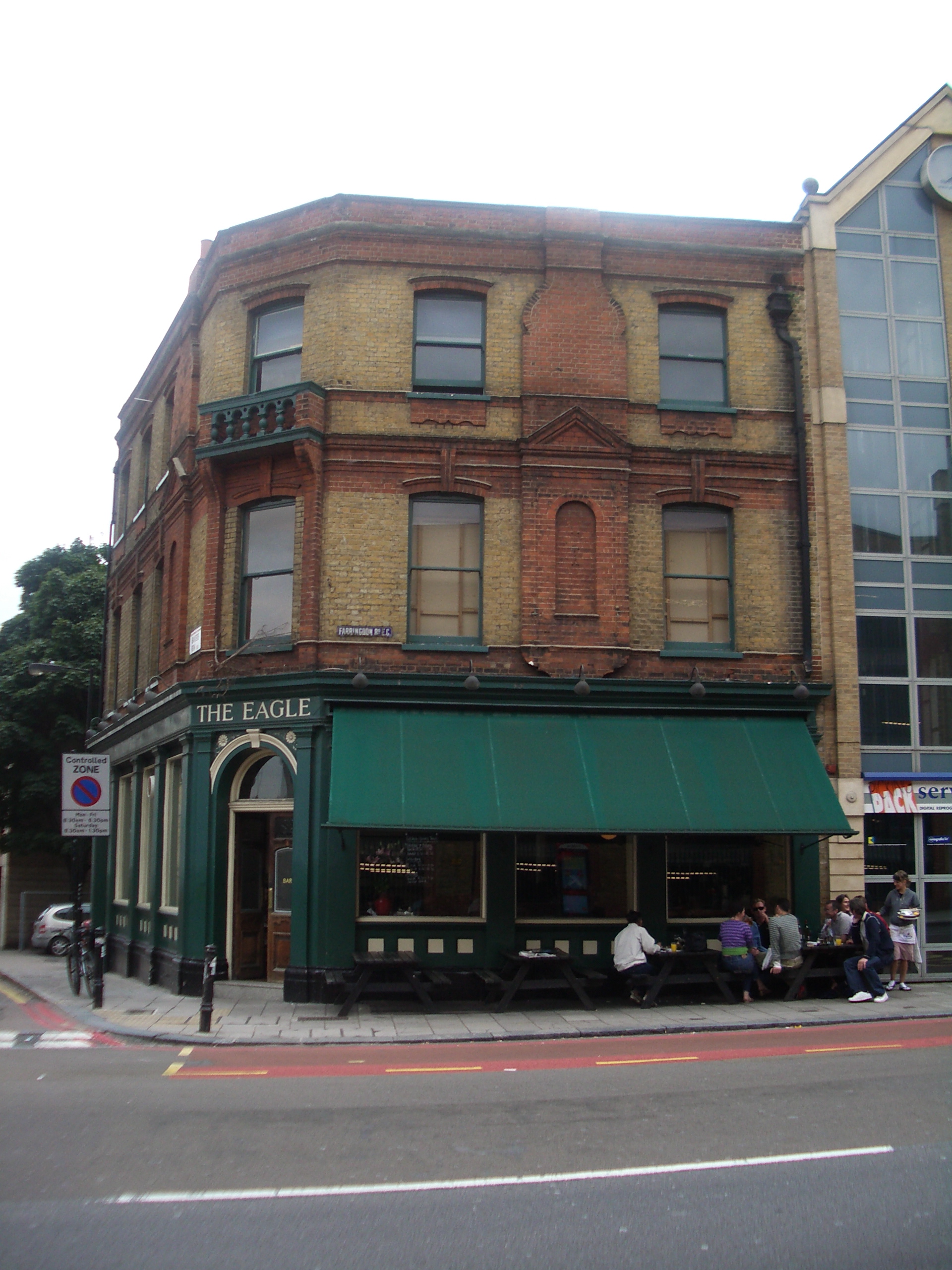
A gastropub or gastro pub is a pub that serves gourmet comfort food. The term was coined in the 1990s, though similar brewpubs existed during the 1980s. Etymology The term ''gastropub'' (derived from gastronomy) was coined in 1991, when David Eyre and Mike Belben took over The Eagle pub in Clerkenwell, London. Traditionally, British pubs were drinking establishments and little emphasis was placed on the serving of food. If pubs served meals they were usually basic cold dishes such as a ploughman's lunch. The concept of gastropubs largely redefined both pub culture and British dining, and has occasionally attracted criticism for potentially removing the character of traditional pubs. "Pub grub" expanded to include British food items such as steak and ale pie, shepherd's pie, fish and chips, bangers and mash, Sunday roast, ploughman's lunch, and pasties. In addition, dishes such as hamburgers, chips, lasagne and chili con carne are now often served. In August 2012, ''gastropub' ... [...More Info...] [...Related Items...] OR: [Wikipedia] [Google] [Baidu] |
Crossings Of The River Thames
The River Thames is the second-longest river in the United Kingdom, passes through the capital city, and has many crossings. Counting every channel – such as by its islands linked to only one bank – it is crossed by over 300 bridges. If taking cuts – excavated channels – to be measurements of river, its course west of Tilbury, traversing has 27 tunnels, six public ferries, one cable car link, and one ford. From end to end a channel of the Thames can be seen, mostly its main flow, which is passed over by 138 bridges. These are listed here with 2 former bridges and a seasonal festival bridge. Over 162 other bridges link to such places as typical or man-made islands or across an array of corollary and lesser side channels (backwaters), particularly in and around Oxford and the non-village channel of Ashton Keynes — these are not listed. The river's lower estuary is shallow – but wide – and has no crossing east of Tilbury, the ea ... [...More Info...] [...Related Items...] OR: [Wikipedia] [Google] [Baidu] |
Rushey Lock
Rushey Lock is a lock on the River Thames in England. It is on the northern bank of the river in Oxfordshire, at a considerable distance from any village, the nearest being Buckland Marsh, a hamlet on the road to Buckland to the south of the river. The lock was built in stone in 1790 by the Thames Navigation Commission. The weir is adjacent to the lock on the other side of the lock island. History There was originally a weir and flash lock about a mile upstream called Old Nan's Weir. A survey made in 1790 concluded that the site was unsuitable for a pound lock, and it was built at Rushey instead. There is no record of an earlier weir or lock at Rushey. Keepers at Rushey had oversight of Old Nan's Weir which was finally removed in 1868. Rushey lock was reported as in a bad state of deterioration in 1857 and the weir also in 1871, repairs being needed on both occasions. The lock keeper's house with a pyramidical roof was built in 1894, replacing an older one, and the lock was ... [...More Info...] [...Related Items...] OR: [Wikipedia] [Google] [Baidu] |


