|
South Muskham
South Muskham is a village and civil parish in Nottinghamshire, England, close to the border with Lincolnshire. It is located west of the River Trent and the A1 road, north of Newark-upon-Trent. The parish includes the hamlet of Little Carlton. The population of the parish was 494 in the 2011 census. The village lies on the historic route of the A1 Great North Road. When the Newark Bypass was built in 1964, the old Great North Road through the village became the A6065. In 1989 the road south of the village became part of the A616, and the road through the village became the B6325. South of the village the old Great North Road passes over a causeway built in 1770 by John Smeaton, and then crosses the River Trent at Muskham Bridge. St Wilfrid's Church is a Grade I listed building. Parts of the church date back to the 13th century. See also * North Muskham North Muskham is a village and civil parish in Nottinghamshire, England, close to the border with Lincolnshire. I ... [...More Info...] [...Related Items...] OR: [Wikipedia] [Google] [Baidu] |
Nottinghamshire
Nottinghamshire (; abbreviated Notts.) is a landlocked county in the East Midlands region of England, bordering South Yorkshire to the north-west, Lincolnshire to the east, Leicestershire to the south, and Derbyshire to the west. The traditional county town is Nottingham, though the county council is based at County Hall in West Bridgford in the borough of Rushcliffe, at a site facing Nottingham over the River Trent. The districts of Nottinghamshire are Ashfield, Bassetlaw, Broxtowe, Gedling, Mansfield, Newark and Sherwood, and Rushcliffe. The City of Nottingham was administratively part of Nottinghamshire between 1974 and 1998, but is now a unitary authority, remaining part of Nottinghamshire for ceremonial purposes. The county saw a minor change in its coverage as Finningley was moved from the county into South Yorkshire and is part of the City of Doncaster. This is also where the now-closed Doncaster Sheffield Airport is located (formerly Robin Hood Airport). In 20 ... [...More Info...] [...Related Items...] OR: [Wikipedia] [Google] [Baidu] |
Newark And Sherwood
Newark and Sherwood is a local government district and is the largest district in Nottinghamshire, England. The district was formed on 1 April 1974, by a merger of the municipal borough of Newark with Newark Rural District and Southwell Rural District. The district is predominantly rural, with some large forestry plantations, the ancient Sherwood Forest and the towns of Newark-on-Trent, Southwell and Ollerton. The council is based at Castle House, adjacent to Newark Castle Railway station, having previously used Kelham Hall in the nearby village of Kelham as its headquarters. Settlements Newark-on-Trent, together with Balderton, forms the largest urban area in the district. Newark-on-Trent has many important historic features including Newark Castle, St Mary's Magdalene Church, Georgian architecture and a defensive earthwork from the British Civil Wars. Other important towns in the district include Ollerton and Southwell which is home to Southwell Minster and Southwell ... [...More Info...] [...Related Items...] OR: [Wikipedia] [Google] [Baidu] |
Newark (UK Parliament Constituency)
Newark is a constituency in Nottinghamshire, England. It is currently represented by Robert Jenrick of the Conservative Party who won the seat in a by-election on 5 June 2014, following the resignation of Patrick Mercer in April 2014. Boundaries 1918–1950: The Municipal Borough of Newark, and the Rural Districts of Bingham, Newark, and Southwell. 1950–1983: The Municipal Borough of Newark, the Urban District of Mansfield Woodhouse, and the Rural Districts of Newark and Southwell. 1983–2010: The District of Newark wards of Beacon, Bridge, Bullpit Pinfold, Castle, Caunton, Collingham, Devon, Elston, Farndon, Magnus, Meering, Milton Lowfield, Muskham, Southwell East, Southwell West, Sutton on Trent, Trent, and Winthorpe, and the District of Bassetlaw wards of East Markham, East Retford East, East Retford North, East Retford West, Elkesley, Trent, and Tuxford. 2010–present: The District of Newark and Sherwood wards of Balderton North, Balderton West, Beacon, Bridge, Ca ... [...More Info...] [...Related Items...] OR: [Wikipedia] [Google] [Baidu] |
Civil Parish
In England, a civil parish is a type of administrative parish used for local government. It is a territorial designation which is the lowest tier of local government below districts and counties, or their combined form, the unitary authority. Civil parishes can trace their origin to the ancient system of ecclesiastical parishes, which historically played a role in both secular and religious administration. Civil and religious parishes were formally differentiated in the 19th century and are now entirely separate. Civil parishes in their modern form came into being through the Local Government Act 1894, which established elected parish councils to take on the secular functions of the parish vestry. A civil parish can range in size from a sparsely populated rural area with fewer than a hundred inhabitants, to a large town with a population in the tens of thousands. This scope is similar to that of municipalities in Continental Europe, such as the communes of France. However, ... [...More Info...] [...Related Items...] OR: [Wikipedia] [Google] [Baidu] |
Lincolnshire
Lincolnshire (abbreviated Lincs.) is a county in the East Midlands of England, with a long coastline on the North Sea to the east. It borders Norfolk to the south-east, Cambridgeshire to the south, Rutland to the south-west, Leicestershire and Nottinghamshire to the west, South Yorkshire to the north-west, and the East Riding of Yorkshire to the north. It also borders Northamptonshire in the south for just , England's shortest county boundary. The county town is Lincoln, where the county council is also based. The ceremonial county of Lincolnshire consists of the non-metropolitan county of Lincolnshire and the area covered by the unitary authorities of North Lincolnshire and North East Lincolnshire. Part of the ceremonial county is in the Yorkshire and the Humber region of England, and most is in the East Midlands region. The county is the second-largest of the English ceremonial counties and one that is predominantly agricultural in land use. The county is fourth-larg ... [...More Info...] [...Related Items...] OR: [Wikipedia] [Google] [Baidu] |
River Trent
The Trent is the Longest rivers of the United Kingdom, third-longest river in the United Kingdom. Its Source (river or stream), source is in Staffordshire, on the southern edge of Biddulph Moor. It flows through and drains the North Midlands. The river is known for dramatic flooding after storms and spring snowmelt, which in the past often caused the river to change course. The river passes through Stoke-on-Trent, Stone, Staffordshire , Stone, Rugeley, Burton upon Trent and Nottingham before joining the River Ouse, Yorkshire, River Ouse at Trent Falls to form the Humber Estuary, which empties into the North Sea between Kingston upon Hull, Hull in Yorkshire and Immingham in Lincolnshire. The wide Humber estuary has often been described as the boundary between the Midlands and the north of England. Name The name "Trent" is possibly from a Romano-British word meaning "strongly flooding". More specifically, the name may be a contraction of two Romano-British words, ''tros'' (" ... [...More Info...] [...Related Items...] OR: [Wikipedia] [Google] [Baidu] |
A1 Road (Great Britain)
The A1 is the longest numbered road in the UK, at . It connects Greater London, London, the capital of England, with Edinburgh, the capital of Scotland. It passes through or near North London, Hatfield, Hertfordshire, Hatfield, Welwyn Garden City, Stevenage, Baldock, Letchworth, Letchworth Garden City, Biggleswade, St Neots, Huntingdon, Peterborough, Stamford, Lincolnshire, Stamford, Grantham, Newark-on-Trent, Retford, Doncaster, York, Pontefract, Wetherby, Ripon, Darlington, Durham, England, Durham, Sunderland, Tyne and Wear, Sunderland, Gateshead, Newcastle upon Tyne, Morpeth, Northumberland, Morpeth, Alnwick and Berwick-upon-Tweed. It was designated by the Department for Transport, Ministry of Transport in 1921, and for much of its route it followed various branches of the historic Great North Road (Great Britain), Great North Road, the main deviation being between Boroughbridge and Darlington. The course of the A1 has changed where towns or villages have been bypass (road), ... [...More Info...] [...Related Items...] OR: [Wikipedia] [Google] [Baidu] |
Newark-upon-Trent
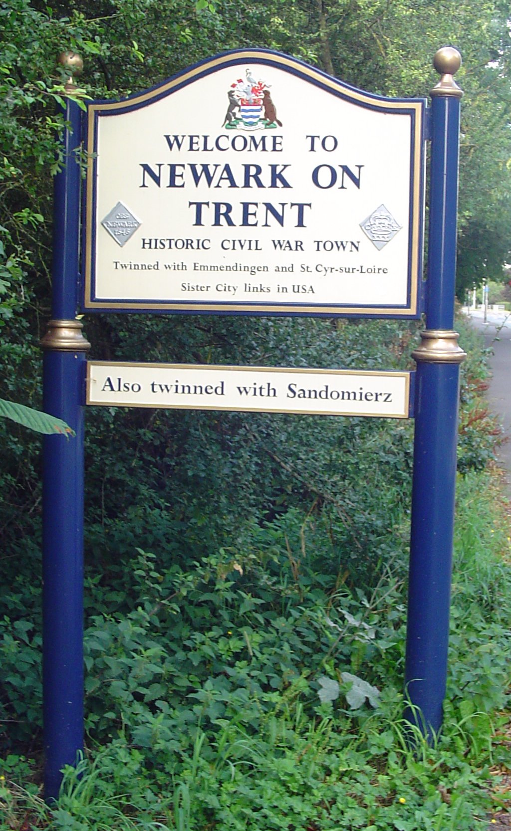
Newark-on-Trent or Newark () is a market town and civil parish in the Newark and Sherwood district in Nottinghamshire, England. It is on the River Trent, and was historically a major inland port. The A1 road bypasses the town on the line of the ancient Great North Road. The town's origins are likely to be Roman, as it lies on a major Roman road, the Fosse Way. It grew up round Newark Castle and as a centre for the wool and cloth trades. In the English Civil War, it was besieged by Parliamentary forces and relieved by Royalist forces under Prince Rupert. Newark has a market place lined with many historical buildings and one of its most notable landmark is St Mary Magdalene church with its towering spire at high and the highest structure in the town. The church is the tallest church in Nottinghamshire and can be seen when entering Newark or bypassing it. History Early history The place-name Newark is first attested in the cartulary of Eynsham Abbey in Oxfordshire, where ... [...More Info...] [...Related Items...] OR: [Wikipedia] [Google] [Baidu] |
Little Carlton (Nottinghamshire)
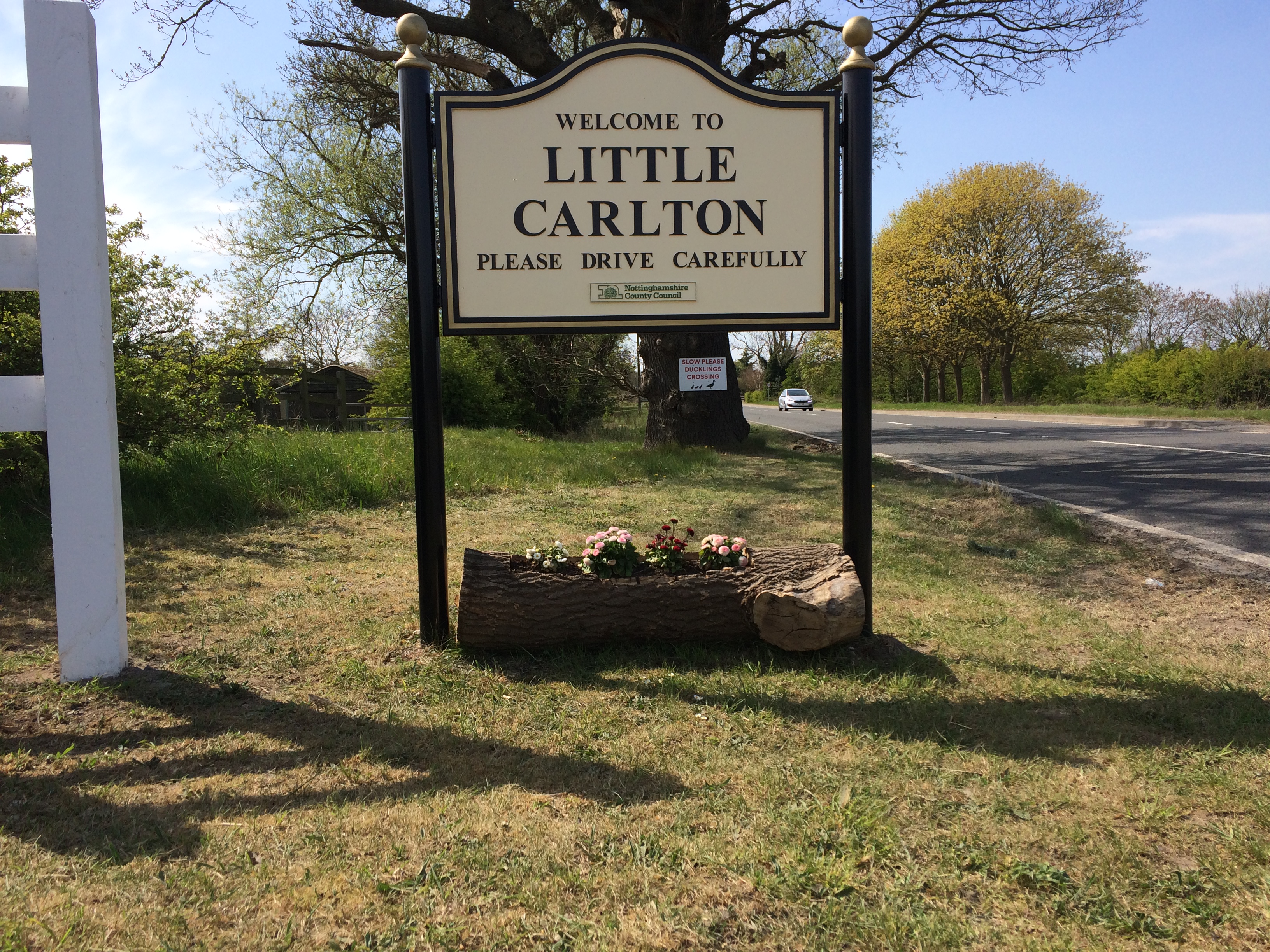
Little Carlton is a hamlet in the Newark and Sherwood district of Nottinghamshire, England, north-west of Newark-on-Trent. Little Carlton was recorded in the Domesday Book in 1086. History Middle Ages Little Carlton was originally a medieval village and part of the meadow field system. At the time of its first entry in the Domesday Book, the village was owned by the Archbishop of York. This entry in the book also documents a mill, 66 acres of meadow and 80 acres of underwood. During this time, the village was referred to as "Carleton", "South Carlton" or "Carlton by Newark". In 1180, the village was recorded as being called Karlet or Karletun; in 1278 as Sutkarleton; in 1332 as South Carlton Juxta Bathele and in 1425 as Lytel Carleton. The areas of Little Carlton used during the Middle Ages In the history of Europe, the Middle Ages or medieval period lasted approximately from the late 5th to the late 15th centuries, similar to the post-classical period of global ... [...More Info...] [...Related Items...] OR: [Wikipedia] [Google] [Baidu] |
Great North Road (Great Britain)
The Great North Road was the main highway between England and Scotland from medieval times until the 20th century. It became a coaching route used by mail coaches travelling between London, York and Edinburgh. The modern A1 mainly parallels the route of the Great North Road. Coaching inns, many of which survive, were staging posts providing accommodation, stabling for horses and replacement mounts. Nowadays virtually no surviving coaching inns can be seen while driving on the A1, because the modern route bypasses the towns in which the inns are found. Route The traditional start point for the Great North Road was Smithfield Market on the edge of the City of London. The initial stretch of the road was St John Street which begins on the boundary of the City (the site of the former West Smithfield Bars), and runs through north London. Less than a hundred metres up St John Street, into Clerkenwell, stood Hicks Hall, the first purpose-built sessions house for the Middlesex ju ... [...More Info...] [...Related Items...] OR: [Wikipedia] [Google] [Baidu] |
John Smeaton
John Smeaton (8 June 1724 – 28 October 1792) was a British civil engineer responsible for the design of bridges, canals, harbours and lighthouses. He was also a capable mechanical engineer and an eminent physicist. Smeaton was the first self-proclaimed "civil engineer", and is often regarded as the "father of civil engineering".Mark Denny (2007). "Ingenium: Five Machines That Changed the World". p. 34. JHU Press. He pioneered the use of hydraulic lime in concrete, using pebbles and powdered brick as aggregate. Smeaton was associated with the Lunar Society. Law and physics Smeaton was born in Austhorpe, Leeds, England. After studying at Leeds Grammar School he joined his father's law firm, but left to become a mathematical instrument maker (working with Henry Hindley), developing, among other instruments, a pyrometer to study material expansion. In 1750, his premises were in the Great Turnstile in Holborn. He was elected a Fellow of the Royal Society in 1753 and in 1 ... [...More Info...] [...Related Items...] OR: [Wikipedia] [Google] [Baidu] |


