|
State Route 45 (Ohio)
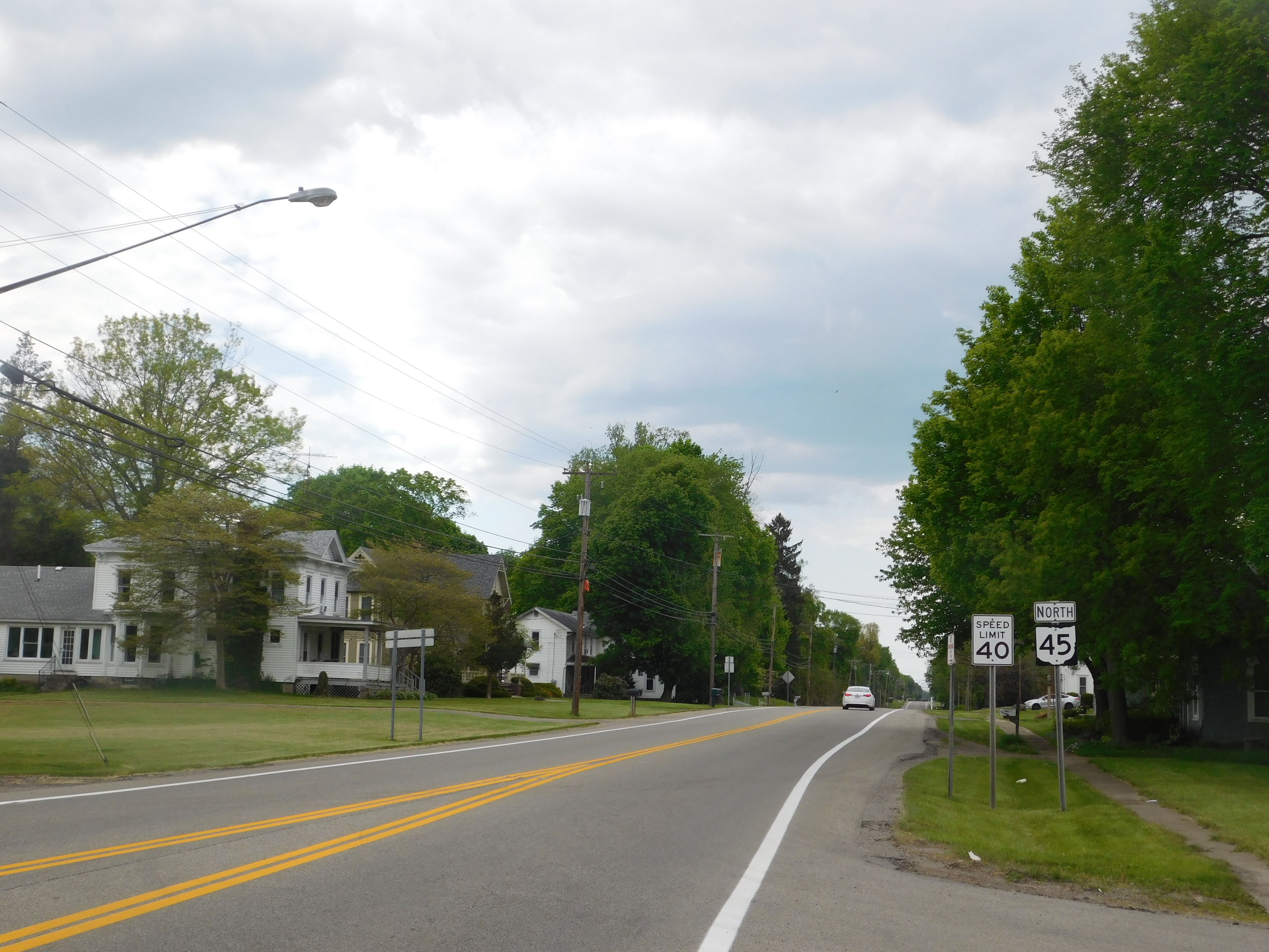
State Route 45 (SR 45) is a north–south state highway in the northeastern portion of the U.S. state of Ohio. Its southern terminus is at the State Route 7/ State Route 39 concurrency in Wellsville, and its northern terminus is at State Route 531 about west of Ashtabula. History *1924 – Original route established;Explanation of the Ohio State Highway System (The Unofficial Ohio State Highways Web Site) by John Simpson originally routed from to along its current route from Lisbon to 1½ miles south of |
Wellsville, Ohio
Wellsville is a village in southern Columbiana County, Ohio, United States, along the Ohio River. Its population was 3,113 at the 2020 census. It is part of the Salem micropolitan area, north of Steubenville and south of Youngstown. In its heyday, Wellsville was home to industries in transportation, both through rail terminals on the Pennsylvania Railroad and docks on the Ohio River, as well as pottery and ceramics manufacturing. History Early history and establishment In 1770, George Washington with his friend and personal surveyor, William Crawford, embarked on a journey down the Ohio River from Pittsburgh for the purpose of viewing lands to be apportioned among soldiers who had served in the French and Indian War. They are reported to have surveyed the Wellsville area, just north of Yellow Creek in 1770, and it was noted in his journal that it was good bottom land. The Yellow Creek Massacre occurred near Wellsville in 1774. A group of Virginian settlers killed the relative ... [...More Info...] [...Related Items...] OR: [Wikipedia] [Google] [Baidu] |
State Route 534 (Ohio)
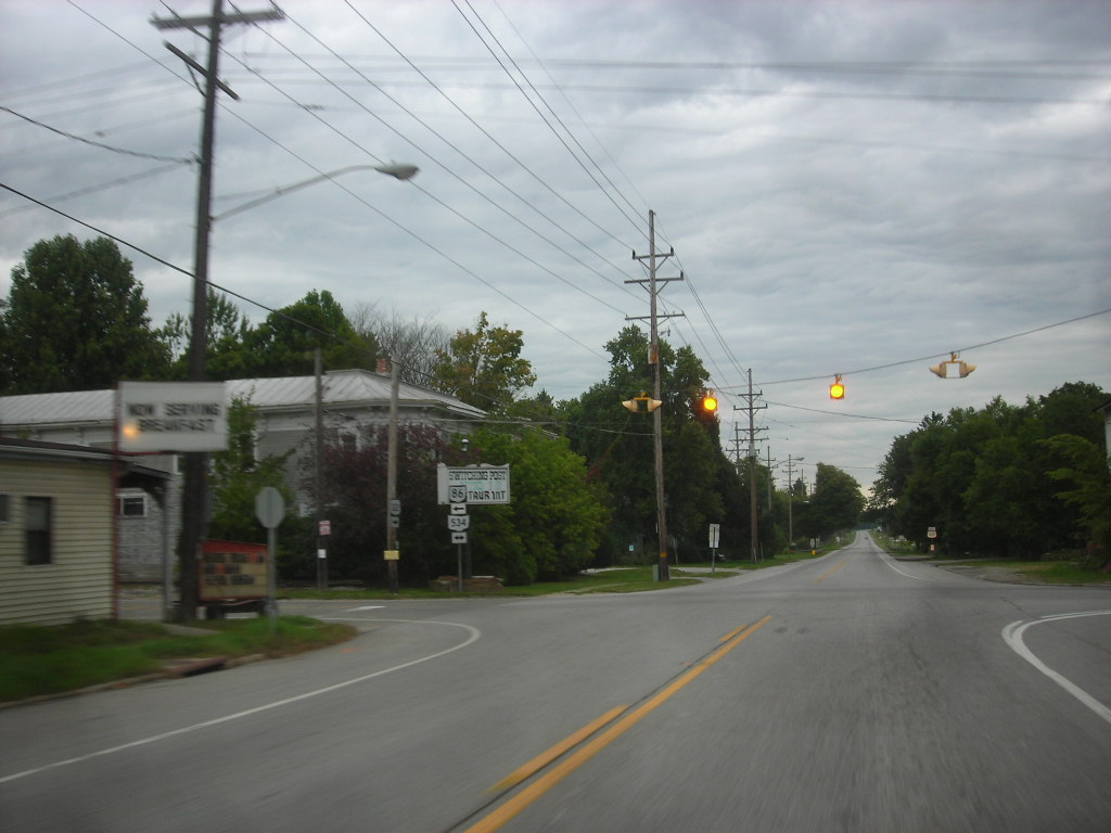
State Route 534 (SR 534) is a north–south state highway in the northeastern portion of the U.S. state of Ohio. The southern terminus of SR 534 is at its junction with the duplex of U.S. Route 62 (US 62) and SR 173 nearly west of Salem. Its northern terminus is a curve in Geneva-on-the-Lake where the highway directly transitions into SR 531 at that route's western terminus. Route description SR 534's path takes it through the western portions of Mahoning, Trumbull and Ashtabula Counties. There are no segments of this highway that are included within the National Highway System (NHS). The NHS is a network of highways deemed most important for the nation's economy, mobility and defense. History SR 534 debuted in 1937. It was originally routed along the majority of its current alignment, excepting a short stretch in northwestern Ashtabula County. Prior to its inception, SR 534 consisted of previously un-numbered roads ... [...More Info...] [...Related Items...] OR: [Wikipedia] [Google] [Baidu] |
Transportation In Mahoning County, Ohio
Transport (in British English), or transportation (in American English), is the intentional movement of humans, animals, and goods from one location to another. Modes of transport include air, land (rail and road), water, cable, pipeline, and space. The field can be divided into infrastructure, vehicles, and operations. Transport enables human trade, which is essential for the development of civilizations. Transport infrastructure consists of both fixed installations, including roads, railways, airways, waterways, canals, and pipelines, and terminals such as airports, railway stations, bus stations, warehouses, trucking terminals, refueling depots (including fueling docks and fuel stations), and seaports. Terminals may be used both for interchange of passengers and cargo and for maintenance. Means of transport are any of the different kinds of transport facilities used to carry people or cargo. They may include vehicles, riding animals, and pack animals. Vehicles may inclu ... [...More Info...] [...Related Items...] OR: [Wikipedia] [Google] [Baidu] |
Transportation In Columbiana County, Ohio
Transport (in British English), or transportation (in American English), is the intentional movement of humans, animals, and goods from one location to another. Modes of transport include air, land (rail and road), water, cable, pipeline, and space. The field can be divided into infrastructure, vehicles, and operations. Transport enables human trade, which is essential for the development of civilizations. Transport infrastructure consists of both fixed installations, including roads, railways, airways, waterways, canals, and pipelines, and terminals such as airports, railway stations, bus stations, warehouses, trucking terminals, refueling depots (including fueling docks and fuel stations), and seaports. Terminals may be used both for interchange of passengers and cargo and for maintenance. Means of transport are any of the different kinds of transport facilities used to carry people or cargo. They may include vehicles, riding animals, and pack animals. Vehicles may inclu ... [...More Info...] [...Related Items...] OR: [Wikipedia] [Google] [Baidu] |
State Highways In Ohio
The Ohio Department of Transportation (ODOT) is responsible for the establishment and classification of a state highway network which includes interstate highways, U.S. highways, and state routes. As with other states, U.S. and Interstate highways are classified as state routes in Ohio. There are no state routes which duplicate an existing U.S. or Interstate highway in Ohio. Ohio distinguishes between "state routes", which are all the routes on ODOT's system, and "state highways", which are the roads on the state route system which ODOT maintains, i.e. those outside municipalities, with a special provision for Interstate Highways. Besides the state highway network, there are various county and township road networks within the state. History The Ohio Inter-County Highways were created on June 9, 1911, with the passage of the McGuire Bill (Senate Bill 165, 79th Ohio General Assembly). Main Market Roads, the most important of the system, were defined on April 15, 1913. In 192 ... [...More Info...] [...Related Items...] OR: [Wikipedia] [Google] [Baidu] |
Ashtabula Harbor
Ashtabula ( ) is a city in Ashtabula County, Ohio, United States, and the center of the Ashtabula micropolitan area. It is located at the mouth of the Ashtabula River on Lake Erie, northeast of Cleveland. As of the 2020 census, the city had a total population of 17,975. Like many other cities in the Rust Belt, it has lost population due to a decline in industrial jobs since the 1960s. The name ''Ashtabula'' is derived from , which means 'always enough fish to be shared around' in the Lenape language. The city became an important destination on the Underground Railroad in the middle 19th century, as refugee slaves could take ships to Canada and freedom. Even in the free state of Ohio, they were at risk of being captured by slavecatchers. Beginning in the late 19th century, the city became a major coal port on Lake Erie at the mouth of the Ashtabula River northeast of Cleveland. Coal and iron were shipped here, the latter from the Mesabi Range in Minnesota. The city attracte ... [...More Info...] [...Related Items...] OR: [Wikipedia] [Google] [Baidu] |
Cleveland
Cleveland ( ), officially the City of Cleveland, is a city in the U.S. state of Ohio and the county seat of Cuyahoga County. Located in the northeastern part of the state, it is situated along the southern shore of Lake Erie, across the U.S. maritime border with Canada, northeast of Cincinnati, northeast of Columbus, and approximately west of Pennsylvania. The largest city on Lake Erie and one of the major cities of the Great Lakes region, Cleveland ranks as the 54th-largest city in the U.S. with a 2020 population of 372,624. The city anchors both the Greater Cleveland metropolitan statistical area (MSA) and the larger Cleveland–Akron–Canton combined statistical area (CSA). The CSA is the most populous in Ohio and the 17th largest in the country, with a population of 3.63 million in 2020, while the MSA ranks as 34th largest at 2.09 million. Cleveland was founded in 1796 near the mouth of the Cuyahoga River by General Moses Cleaveland, after whom the city was named ... [...More Info...] [...Related Items...] OR: [Wikipedia] [Google] [Baidu] |
Erie, PA
Erie (; ) is a city on the south shore of Lake Erie and the county seat of Erie County, Pennsylvania, United States. Erie is the fifth largest city in Pennsylvania and the largest city in Northwestern Pennsylvania with a population of 94,831 at the 2020 census. The estimated population in 2021 had decreased to 93,928. The Erie metropolitan area, equivalent to all of Erie County, consists of 266,096 residents. The Erie-Meadville combined statistical area had a population of 369,331 at the 2010 census. Erie is roughly equidistant from Buffalo and Cleveland, each being about 100 miles (160 kilometers) away. Erie's manufacturing sector remains prominent in the local economy, though insurance, healthcare, higher education, technology, service industries, and tourism are emerging as significant economic drivers. As with the other Great Lakes port cities, Erie is accessible to the oceans via the Lake Ontario and St. Lawrence River network in Canada. The local climate is humid, f ... [...More Info...] [...Related Items...] OR: [Wikipedia] [Google] [Baidu] |
Sharon, PA
Sharon is a city in western Mercer County, Pennsylvania, United States. The city, located along the banks of the Shenango River on the state border with Ohio, is about northeast of Youngstown, about southeast of Cleveland and about northwest of Pittsburgh. The population was 13,147 at the 2020 census. It is a part of the Youngstown–Warren metropolitan area. History The Sharon area was first settled in 1795. It was incorporated as a borough on October 6, 1841, and incorporated as a city on December 17, 1918. The city operated under the Pennsylvania third-class city code until 2008, at which point it adopted a home rule charter under which the elected position of mayor was replaced with a hired city manager and financial officer. The founding families of Sharon first settled on a flat plain bordering the Shenango River, between two hills on the southwestern edge of what is today Sharon's downtown business district. According to local legend, the community received its nam ... [...More Info...] [...Related Items...] OR: [Wikipedia] [Google] [Baidu] |
West Point, Columbiana County, Ohio
West Point is an unincorporated community in northern Madison Township, Columbiana County, Ohio, United States. A former coal town, it lies along U.S. Route 30 at its intersection with State Routes 45 and 518, it has the ZIP code 44492. It is part of the Salem micropolitan area. History West Point was not officially platted. It grew as a community along the Youngstown and Ohio River Railroad, and was home to the railroad's coal power plant in the early 20th century. A post office called West Point had been in operation from 1836 to 1903, and again from 1955 until 2018. On July 26, 1863, Union forces defeated Confederate General John Hunt Morgan at the Battle of Salineville following his 1,000 mile raid along the Ohio River. Union General James M. Shackelford and his 3,000 men army, in addition to the Steubenville and New Lisbon militias, captured Morgan and his remaining men in a short firefight west of West Point. The John H. Morgan Surrender Site commemorates the locatio ... [...More Info...] [...Related Items...] OR: [Wikipedia] [Google] [Baidu] |
Divided Highway
A dual carriageway ( BE) or divided highway ( AE) is a class of highway with carriageways for traffic travelling in opposite directions separated by a central reservation (BrE) or median (AmE). Roads with two or more carriageways which are designed to higher standards with controlled access are generally classed as motorways, freeways, etc., rather than dual carriageways. A road without a central reservation is a single carriageway regardless of the number of lanes. Dual carriageways have improved road traffic safety over single carriageways and typically have higher speed limits as a result. In some places, express lanes and local/collector lanes are used within a local-express-lane system to provide more capacity and to smooth traffic flows for longer-distance travel. History A very early (perhaps the first) example of a dual carriageway was the ''Via Portuensis'', built in the first century by the Roman emperor Claudius between Rome and its port Ostia at the mouth of t ... [...More Info...] [...Related Items...] OR: [Wikipedia] [Google] [Baidu] |
State Route 558 (Ohio)
State Route 558 (SR 558) is a state route that runs between Salem and East Palestine in the US state of Ohio. Most of the route is a rural two-lane highway and passes through farmland, woodland and residential properties. The highway was first signed in 1937 on much the same alignment as today. SR 558 replaced the SR 154 designation of the highway which dated back to 1923; SR 194 ran between Lisbon and East Palestine. Some of the highway was paved in 1937, with the rest of the route being paved by 1961. Route description SR 558 begins at an intersection with SR 45, in rural Columbiana County. The route heads northeast as a two-lane highway, passing through woodland. The road makes a sharp curve due east passing through woodland and farmland. The highway turns southeast and enters Franklin Square. In Franklin Square the route passes through residential properties. SR 558 has an intersection with SR 164 in rural Fairfield Township. Afte ... [...More Info...] [...Related Items...] OR: [Wikipedia] [Google] [Baidu] |


.jpg)
_1.jpg)
