|
St Columb Canal
St Columb Canal sometimes referred to as Edyvean's Canal, was an abortive canal scheme in Cornwall, England, designed for the carriage of sea sand for use as manure. It was authorised in 1773, and part of it may have been briefly used around 1780. History The canal was first proposed by the Cornish engineer, John Edyvean in 1773. His idea was to run a canal from Mawgan Porth through parishes inland and to return to Newquay. Its purpose was to import sea-sand, seaweed and stone for manuring to improve land. Edyvean obtained an Act of Parliament on 1 April 1773, which authorised a canal, although it appears that the clerk must have misheard what was said, as the plans were for a canal. The engineer John Harris gave evidence to a parliamentary committee to secure the Act for the canal, the cost of which was estimated to be between £5,000 and £6,000. Edyvean planned to finance the costs himself. Work started in 1773, and two sections were built, each with an inclined plane t ... [...More Info...] [...Related Items...] OR: [Wikipedia] [Google] [Baidu] |
Mawgan Porth
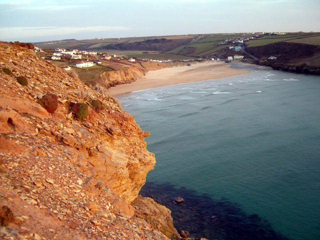
Mawgan Porth (in kw, Porth Maugan, meaning "St. Mawgan's cove", or ''Porth Glyvyan'', meaning "cove of the Gluvian River") is a beach and small settlement in north Cornwall, England. It is north of Watergate Bay, approximately four miles (6 km) north of Newquay, on the Atlantic Ocean coast. Mawgan Porth is in the civil parish of Mawgan-in-Pydar, at the seaward end of the Vale of Lanherne (or Vale of Mawgan) where the River Menalhyl meets the sea. The hamlet consists of a pub, a general store, and several hotels, guest houses and caravan parks. The sandy beach, backed by dunes with cliffs at each end, is quality-assessed and supervised by lifeguards during the summer. It is a popular surfing location. The South West Coast Path The South West Coast Path is England's longest waymarked long-distance footpath and a National Trail. It stretches for , running from Minehead in Somerset, along the coasts of Devon and Cornwall, to Poole Harbour in Dorset. Because it rises a ... [...More Info...] [...Related Items...] OR: [Wikipedia] [Google] [Baidu] |
Tub Boat
A tub boat was a type of unpowered cargo boat used on a number of the early English and German canals. The English boats were typically long and wide and generally carried to of cargo, though some extra deep ones could carry up to . They are also called compartment boats or container boats. The main virtue of tub boats was their flexibility. They could be drawn in trains of 3-10 or more boats using horse power, or later steam tugs, where the number of boats was varied according to the type of cargo. Tubs could be lifted more easily than larger boats and tub boat lifts and inclined planes were developed as an alternative to canal locks, particularly in or near a colliery or similar industrial works. At a lift the train could easily be divided, the boats lifted individually, and the train reassembled afterwards. Sometimes the boats used snug-fitting non-waterproof inner containers which could be more easily lifted out. Because of their small size, the canals that were built ... [...More Info...] [...Related Items...] OR: [Wikipedia] [Google] [Baidu] |
Canals In Cornwall
Canals or artificial waterways are waterways or engineered channels built for drainage management (e.g. flood control and irrigation) or for conveyancing water transport vehicles (e.g. water taxi). They carry free, calm surface flow under atmospheric pressure, and can be thought of as artificial rivers. In most cases, a canal has a series of dams and locks that create reservoirs of low speed current flow. These reservoirs are referred to as ''slack water levels'', often just called ''levels''. A canal can be called a ''navigation canal'' when it parallels a natural river and shares part of the latter's discharges and drainage basin, and leverages its resources by building dams and locks to increase and lengthen its stretches of slack water levels while staying in its valley. A canal can cut across a drainage divide atop a ridge, generally requiring an external water source above the highest elevation. The best-known example of such a canal is the Panama Canal. Many cana ... [...More Info...] [...Related Items...] OR: [Wikipedia] [Google] [Baidu] |
Bude Canal
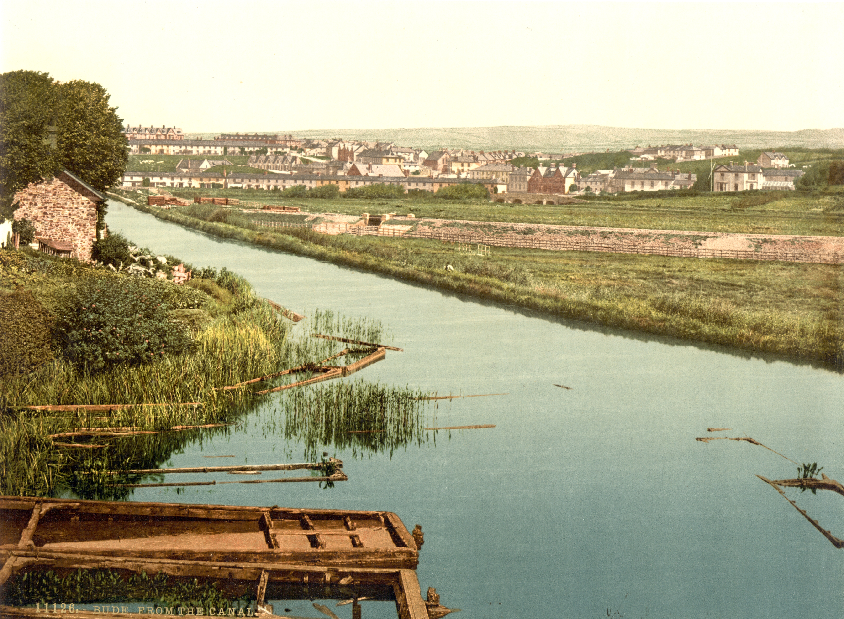
The Bude Canal was a canal built to serve the hilly hinterland in the Cornwall and Devon border territory in the United Kingdom, chiefly to bring lime-bearing sand for agricultural fertiliser. The Bude Canal system was one of the most unusual in Britain. It was remarkable in using inclined planes to haul tub boats on wheels to the upper levels. There were only two conventional locks, in the short broad canal section near the sea at Bude itself. It had a total extent of , and it rose from sea level to an altitude of . The design of the canal influenced the design of the Rolle Canal. Origins The coastal area at Bude has sand unusually rich in minerals, and the poor agricultural land of the locality was found to benefit considerably from application of the sand. In the pre-industrial age, actually transporting it was difficult, even to land relatively close to the coast. Several schemes were put forward for canals to bring the sand to the countryside, and these proposals did no ... [...More Info...] [...Related Items...] OR: [Wikipedia] [Google] [Baidu] |
History Of The British Canal System
History (derived ) is the systematic study and the documentation of the human activity. The time period of event before the invention of writing systems is considered prehistory. "History" is an umbrella term comprising past events as well as the memory, discovery, collection, organization, presentation, and interpretation of these events. Historians seek knowledge of the past using historical sources such as written documents, oral accounts, art and material artifacts, and ecological markers. History is not complete and still has debatable mysteries. History is also an academic discipline which uses narrative to describe, examine, question, and analyze past events, and investigate their patterns of cause and effect. Historians often debate which narrative best explains an event, as well as the significance of different causes and effects. Historians also debate the nature of history as an end in itself, as well as its usefulness to give perspective on the problems of the p ... [...More Info...] [...Related Items...] OR: [Wikipedia] [Google] [Baidu] |
Canals Of Great Britain
The canals of the United Kingdom are a major part of the network of inland waterways in the United Kingdom. They have a varied history, from use for irrigation and transport, through becoming the focus of the Industrial Revolution, to today's role of recreational boating. Despite a period of abandonment, today the canal system in the United Kingdom is again increasing in use, with abandoned and derelict canals being reopened, and the construction of some new routes. Canals in England and Wales are maintained by navigation authorities. The biggest navigation authorities are the Canal & River Trust and the Environment Agency, but other canals are managed by companies, local authorities or charitable trusts. The majority of canals in the United Kingdom can accommodate boats with a length of between and are now used primarily for leisure. There are a number of canals which are far larger than this, including New Junction Canal and the Gloucester and Sharpness Canal, which can acco ... [...More Info...] [...Related Items...] OR: [Wikipedia] [Google] [Baidu] |
South West Water
South West Water provides drinking water and waste water services throughout Devon and Cornwall and in small areas of Dorset and Somerset. South West Water was created in 1989 with the privatisation of the water industry. It was preceded by the South West Water Authority which was formed by the Water Act 1973 as one of ten regional water authorities formed by a merger of various statutory and local authority water undertakings. South West Water is part of the Pennon Group. History South West Water was formed in 1989 when the water industry in the United Kingdom was privatised. It is responsible for the supply of the region's drinking water, the treatment and disposal of sewage, and the protection of inland and bathing waters. It is closely regulated by Ofwat, the Water Services Regulation Authority, being required to conform to stringent United Kingdom and European Union standards. Water from the Littlehampston treatment works, which serves about 162,000 customers in the Torbay ... [...More Info...] [...Related Items...] OR: [Wikipedia] [Google] [Baidu] |
Porth, Cornwall
Porth is a seaside hamlet in the civil parish of Newquay, Cornwall, United Kingdom. Porth is near the village of St Columb Minor. It was known as St. Columb Porth, Originally a small port for the village and was known for importing coal, salt, lime and a multitude of general cargoes. The village is to the east of a sandy inlet with the Iron Age promontory fort of Trevelgue Head, on the northern side. History Porth's full name is St Columb Porth (meaning the 'port of St Columb') and it was formerly in the civil parish of St Columb Minor. It has now been incorporated into Newquay civil parish but the ecclesiastical parish of St Columb Minor still exists. St. Columb Porth was a small port and farm settlement before Newquay existed. The long sheltered bay is a drowned river mouth and in the 19th century the tide reached Rialton almost two miles (3 km) inland. This was the port for the village of St. Columb Minor. All the requirements of the village such as coal, salt, ... [...More Info...] [...Related Items...] OR: [Wikipedia] [Google] [Baidu] |
Liskeard
Liskeard ( ; kw, Lyskerrys) is a small ancient stannary and market town in south-east Cornwall, South West England. It is situated approximately 20 miles (32 km) west of Plymouth, west of the Devon border, and 12 miles (20 km) east of Bodmin. The Bodmin Moor lies to the north-west of the town. The total population of the town at the 2011 census was 11,366 History The Cornish place name element ''Lis'', along with ancient privileges accorded the town, indicates that the settlement was once a high status 'court'. King Dungarth whose cross is a few miles north near St Cleer is thought to be a descendant of the early 8th century king Gerren of Dumnonia and is said to have held his court in Liskeard (''Lis-Cerruyt''). Liskeard (Liscarret) was at the time of the Domesday Survey an important manor with a mill rendering 12d. yearly and a market rendering 4s. William the Conqueror gave it to Robert, Count of Mortain by whom it was held in demesne. Ever since that time ... [...More Info...] [...Related Items...] OR: [Wikipedia] [Google] [Baidu] |
Lusty Glaze
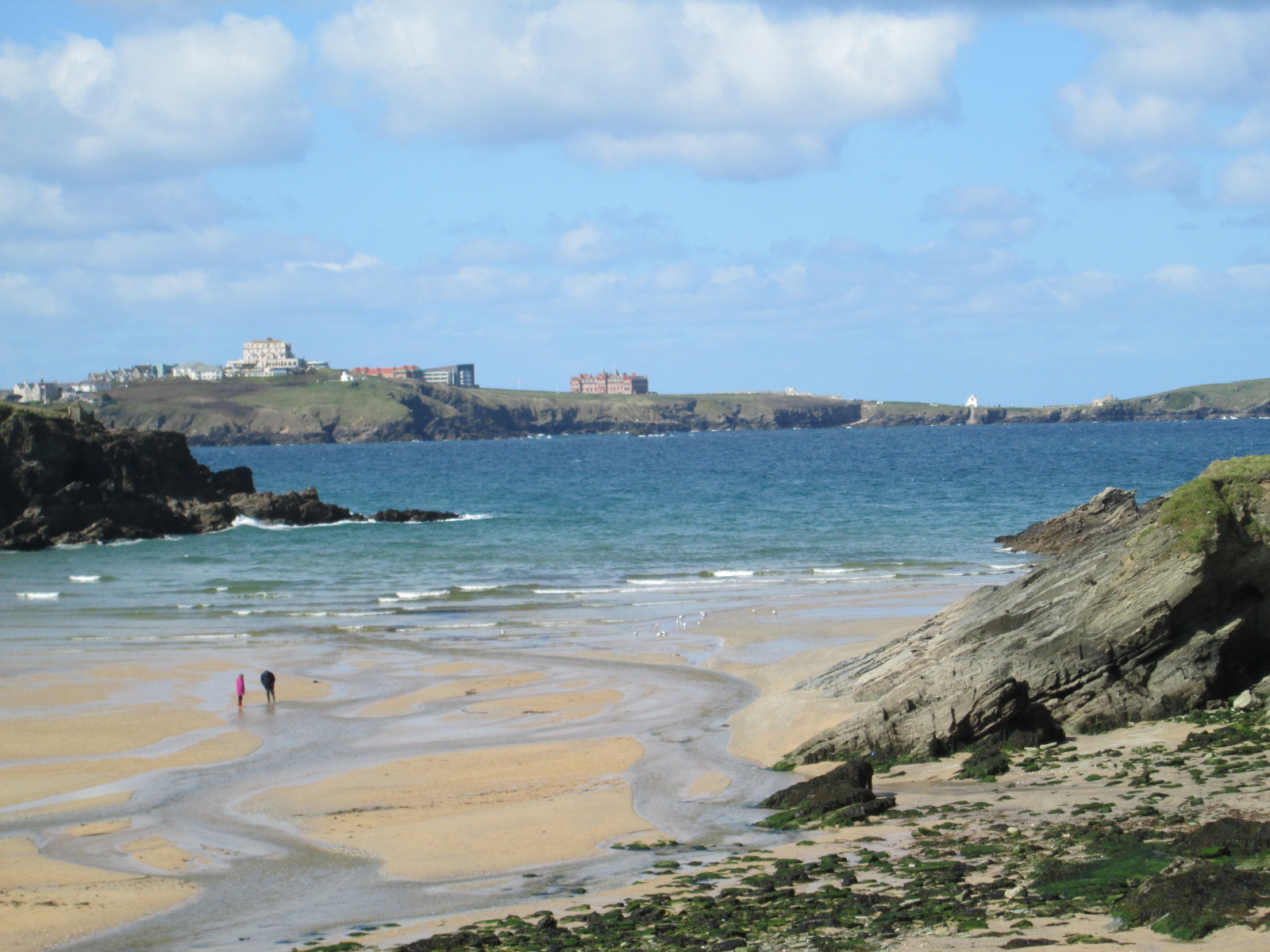
Lusty Glaze ( kw, Lostyn Glas, meaning "a place to view blue boats") also known as Lusty Glaze Beach, is a beach in Newquay, Cornwall. Lusty Glaze is privately owned, notably to the low watermark. For much of the year, the beach is open, free of charge to the public. The only access to the beach is via 133 steps. For many years the current owner operated the UK's first dedicated Rescue Training Centre and Outdoor Activity Centre. Today, Lusty Glaze hosts a wide variety of weddings and events, offers accommodation in the original beach cottage, constructed in 1921 and a range of beach cabins or pods. The cove is naturally sheltered by high cliffs. The current owner, Tracey Griffiths, purchased the site in 1999. Lusty Glaze is home to a thriving Surf Lifesaving club. It was the southern terminus of the abortive St Columb Canal, parts of which were built in the 1770s, and although the southern section was probably never used, the remains of the inclined plane An inc ... [...More Info...] [...Related Items...] OR: [Wikipedia] [Google] [Baidu] |
Horse Mill
A horse mill is a mill, sometimes used in conjunction with a watermill or windmill, that uses a horse engine as the power source. Any milling process can be powered in this way, but the most frequent use of animal power in horse mills was for grinding grain and pumping water. Other animal engines for powering mills are powered by dogs, donkeys, oxen or camels. Treadwheels are engines powered by humans. History The donkey or horse-driven rotary mill was a 4th-century BC Carthaginian invention, with possible origins in Carthaginian Sardinia. Two Carthaginian animal-powered millstones built using red lava from Carthaginian-controlled Mulargia in Sardinia were found in a 375–350 BC shipwreck near Mallorca. The mill spread to Sicily, arriving in Italy in the 3rd century BC. The Carthaginians used hand-powered rotary mills as early as the 6th century BC, and the use of the rotary mill in Spanish lead and silver mines may have contributed to the rise of the larger, animal-powered m ... [...More Info...] [...Related Items...] OR: [Wikipedia] [Google] [Baidu] |
River Menalhyl
The River Menalhyl ( kw, Dowr Melynheyl, meaning ''river of the estuary mill'') is a river in Cornwall, England, that flows through the civil parishes of St Columb Major and Mawgan-in-Pydar. Its length is about 12 miles and it flows in a generally north-west direction. The name comes from the Cornish words ''melyn'' meaning mill and ''heyl'' meaning estuary - ''estuary mills''. The name was recorded as ''Mellynheyl'' in the 19th century, but it had been known as ''Glyvion''. Sources The source of the river's longest branch is near Nine Maidens, about 2 miles to the north of St Columb,, at a height of approximately 490 feet above mean sea level. The Menalhyl enters the sea at Mawgan Porth on the north coast of the county, . Tributaries Tributaries A tributary, or affluent, is a stream or river that flows into a larger stream or main stem (or parent) river or a lake. A tributary does not flow directly into a sea or ocean. Tributaries and the main stem river drain the surr ... [...More Info...] [...Related Items...] OR: [Wikipedia] [Google] [Baidu] |


.jpg)


