|
Siegbach
Siegbach is a municipality in the Lahn-Dill-Kreis in Hesse, Germany. Geography Location The community of Siegbach lies in the Lahn-Dill Highland in the valley of its namesake brook, the Siegbach, which empties into the Aar to the south at Bischoffen. More than half of the municipal area is wooded. Neighbouring communities Siegbach borders in the north on the communities of Eschenburg (Lahn-Dill-Kreis) and Angelburg, in the south on the communities of Bischoffen and Mittenaar, in the southwest on the town of Herborn, and in the west on the town of Dillenburg (all in the Lahn-Dill-Kreis). Constituent communities The community consists of the five centres of Eisemroth (administrative seat), Oberndorf, Tringenstein, Übernthal and Wallenfels. History As part of Hesse's municipal reforms, the formerly independent municipalities of Eisemroth, Tringenstein, Übernthal and Wallenfels merged on 1 January 1972 to form the greater community of Siegbach, after the communi ... [...More Info...] [...Related Items...] OR: [Wikipedia] [Google] [Baidu] |
Lahn-Dill-Kreis
Lahn-Dill is a ''Kreis'' (district) in the west of Hesse, Germany. Neighboring districts are Siegen-Wittgenstein, Marburg-Biedenkopf, Gießen, Wetteraukreis, Hochtaunuskreis, Limburg-Weilburg, Westerwaldkreis. History The southern district belonged to the Princes of Solms-Braunfels and the Free Imperial City of Wetzlar. The latter had to give up its imperial freedom in 1803 as a result of the Imperial Deputation, then as the county of Wetzlar, in favor of the newly created Grand Duchy of Frankfurt of the prince primate (in the old empire Reichserzkanzler) Karl Theodor von Dalberg. The former Solmsian territories came to the Duchy of Nassau in 1806 and in 1815 also to Prussia in an exchange. In 1816, the Prussian districts of Wetzlar and Braunfels were created, which were united in 1822 to form the district of Wetzlar. The district belonged to the Prussian Rhine Province as an exclave until 1932. Since the Middle Ages, the northern part of the district belonged to the principalit ... [...More Info...] [...Related Items...] OR: [Wikipedia] [Google] [Baidu] |
Herborn (Hesse)
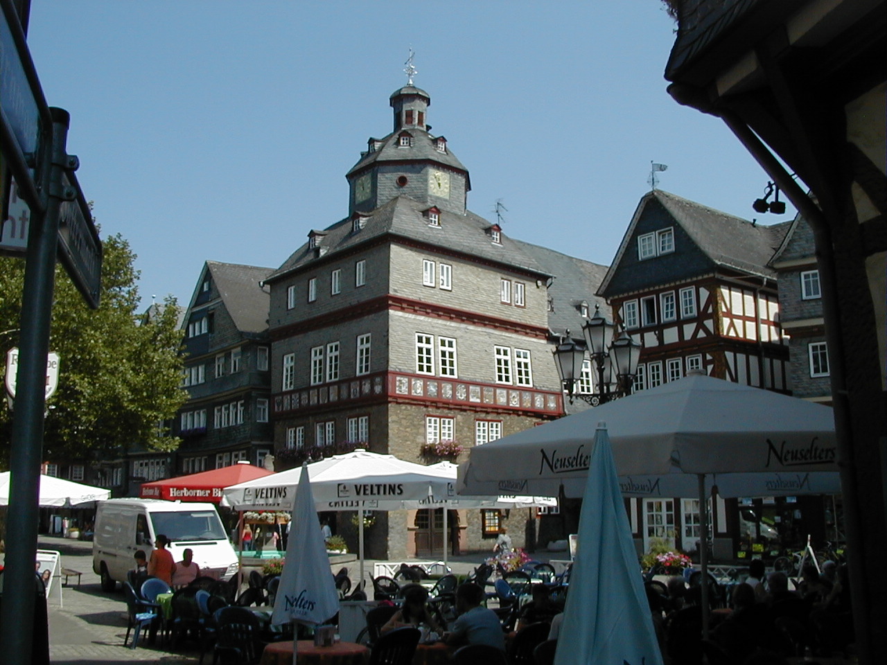
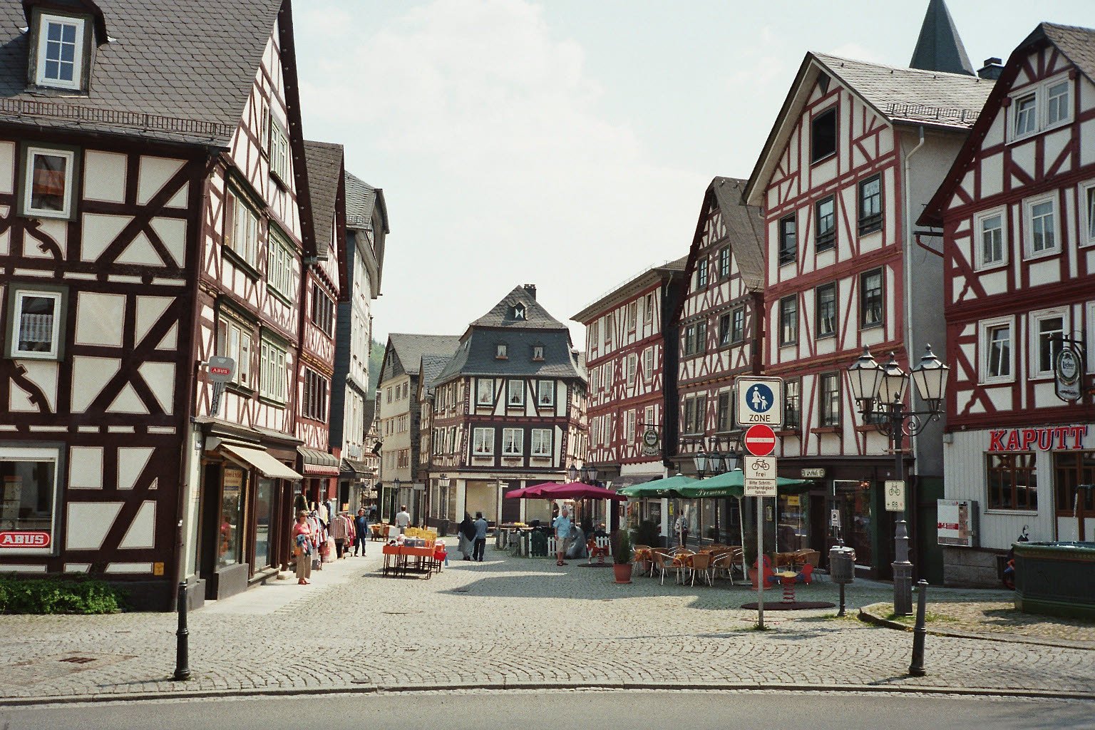
Herborn () is a historic town on the Dill in the Lahn-Dill district of Hesse in Germany. Before World War I, it was granted its own title as ''Nassauisches Rothenburg''. The symbol or mascot of this town is a bear. Scenic attractions include its half-timbered houses; Herborn is located on the German Timber-Frame Road. Herborn hosted the 26th ''Hessentag'' state festival in 1986, and the 56th Hessentag in 2016. Geography The town's coordinates are . It has an area of 64 km² (24 mi²), of which 28 km² (11 mi²) is forest. Herborn is connected by the A45 motorway ( E40/ E41) with Siegen, Wetzlar, and Gießen. Neighbouring communities Herborn is bordered on the north by the town of Dillenburg, on the northeast by the community of Siegbach, on the east by the community of Mittenaar, on the southeast by the community of Sinn, on the south by the community of Greifenstein, and on the west by the communities of Driedorf and Breitscheid (all in the Lahn-Dill-Kre ... [...More Info...] [...Related Items...] OR: [Wikipedia] [Google] [Baidu] |
Dernbacher Feud
The Dernbach Feud ( German: ''Dernbacher Fehde'') was an over 100-year-long (c. 1230 – 1333) ongoing dispute in present-day Germany between the House of Nassau, several knightly families, and the Landgrave of Hesse. The conflict erupted mainly over property rights in Herborn and the surrounding area (the ''Herborner Mark''). The feud was named after the knightly House of Dernbach, a powerful '' Ganerbschaft'' (jointly-owned inheritance) with almost sovereign rights. The Dernbachers, along with the Lords of Bicken (the present-day administrative center of Mittenaar), carried the primary burden of opposing Nassau’s quest for the territorial dominion of the area. Beginning of the feud In the middle of the 12th century, the emerging House of Nassau greatly expanded its possessions. In 1231, it received the sovereignty over the ''Herborner Mark'' as a sub-fief from the Landgrave of Thuringia, who had been awarded it by Emperor Frederick I Barbarossa. As early as 1230, violent ... [...More Info...] [...Related Items...] OR: [Wikipedia] [Google] [Baidu] |
Bischoffen
Bischoffen is a municipality in the Lahn-Dill-Kreis in Hesse, Germany. Geography Location Bischoffen lies in the Lahn-Dill Highland at the Aar Dam (''Aartalsperre''). This dam holds back the river Aar, a tributary to the Dill, forming a 57-ha lake whose purpose is mainly flood control, although of course it also has its recreational uses. Niederweidbach Lying among the villages of Bischoffen (itself a constituent community, and indeed the community's namesake, but not the biggest centre therein), Oberweidbach, Roßbach, Mudersbach and Ahrdt, Niederweidbach is found right on the shore of the Aartalsee, the man-made lake created by the Aar Dam. It is also on the stretch of Federal Highway (''Bundesstraße'') B 255 between Herborn and Gladenbach. q.v. Niederweidbach's history Neighbouring communities Bischoffen borders in the north on the community of Bad Endbach and the town of Gladenbach, in the east on the community of Lohra (all three in Marburg-Biedenkopf), in ... [...More Info...] [...Related Items...] OR: [Wikipedia] [Google] [Baidu] |
Eschenburg
Eschenburg is a municipality in the Lahn-Dill-Kreis in Hesse, Germany. The community inherited its name from nearby Eschenburg mountain. Geography About 20 km², or 43.8%, of the municipal area is wooded, 9.85 km² of this being municipal forest, and the rest state forest. Location The individual communities within Eschenburg lie on the river Dietzhölze and in its side valleys and high dales in the Rothaargebirge's foothills. Eschenburg lies in the northern Lahn-Dill-Kreis, some 10 km northeast of Dillenburg and 23 km east of Siegen. Neighbouring communities Eschenburg borders in the north on the communities of Dietzhölztal (Lahn-Dill-Kreis) and Breidenbach, in the east on the communities of Steffenberg and Angelburg (all three in Marburg-Biedenkopf), in the south on the community of Siegbach, in the southwest on the town of Dillenburg, and in the west on the town of Haiger (all in the Lahn-Dill-Kreis). Constituent communities Eschenburg comprises the c ... [...More Info...] [...Related Items...] OR: [Wikipedia] [Google] [Baidu] |
Angelburg
Angelburg is a municipality in western Marburg-Biedenkopf in northwest Middle Hesse in Germany. Geography Geographical location The community is found about 12 km south of Biedenkopf in the Gansbach valley north of the ''Schelder Wald'' (forest), whose north end consists of the Angelburg Mountain (609 m above sea level) with its television transmitter. Neighbouring communities The community is bounded on the north and east by Steffenberg. Bad Endbach's municipal area borders with Angelburg's constituent community of Bottenhorn, likewise in the east. In the south, Angelburg's municipal area abuts Siegbach, and in the west Eschenburg, both in the Lahn-Dill district. Municipal divisions The community consists of the following places: * Frechenhausen * Gönnern * Lixfeld History The community of Angelburg began its life between 1972 and 1974 within the framework of Hessian municipal reform. The community of Lixfeld has a history stretching back at least to ... [...More Info...] [...Related Items...] OR: [Wikipedia] [Google] [Baidu] |
Mittenaar
Mittenaar () is a municipality in the Lahn-Dill-Kreis in Hesse, Germany. Geography Mittenaar lies in the Lahn-Dill Highland. On Mittenaar's live more than 5,000 people. About 45 km of roads connect the various centres. More than half the municipal area is wooded. Mittenaar borders in the north on the community of Siegbach, in the northeast on the community of Bischoffen, in the east on the community of Hohenahr, in the southeast on the town of Aßlar, in the south on the community of Ehringshausen, in the southwest on the community of Sinn, and in the west on the town of Herborn (all in the Lahn-Dill-Kreis). The community consists of the centres of Ballersbach, Bellersdorf, Bicken (administrative seat) and Offenbach. History Mittenaar The community of Mittenaar came into being on 1 January 1972 with the merger of the formerly independent municipalities of Ballersbach, Bicken and Offenbach. Bellersdorf was amalgamated on 1 April 1972. Ballersbach Ballersbach had its fi ... [...More Info...] [...Related Items...] OR: [Wikipedia] [Google] [Baidu] |
Dillenburg
Dillenburg, officially Oranienstadt Dillenburg, is a town in Hesse's Gießen region in Germany. The town was formerly the seat of the old Dillkreis district, which is now part of the Lahn-Dill-Kreis. The town lies on the German-Dutch holiday road called the Orange Route, joining towns, cities and regions associated with the House of Orange-Nassau, as well as on the German Timber-Frame Road and the Rothaarsteig hiking trail. Geography Location Dillenburg lies on the eastern edge of the Westerwald range in the narrow valley of the river Dill, which flows from Hesse-Westphalia border to Wetzlar, emptying into the Lahn. Neighbouring communities Dillenburg borders in the north on the community of Eschenburg, in the east on the community of Siegbach, in the south on the town of Herborn, and the community of Breitscheid, and in the west on the town of Haiger (all in the Lahn-Dill-Kreis). Constituent communities Dillenburg is divided into the centres of Donsbach, Eibach, Fr ... [...More Info...] [...Related Items...] OR: [Wikipedia] [Google] [Baidu] |
Leipzig
Leipzig ( , ; Upper Saxon: ) is the most populous city in the German state of Saxony. Leipzig's population of 605,407 inhabitants (1.1 million in the larger urban zone) as of 2021 places the city as Germany's eighth most populous, as well as the second most populous city in the area of the former East Germany after ( East) Berlin. Together with Halle (Saale), the city forms the polycentric Leipzig-Halle Conurbation. Between the two cities (in Schkeuditz) lies Leipzig/Halle Airport. Leipzig is located about southwest of Berlin, in the southernmost part of the North German Plain (known as Leipzig Bay), at the confluence of the White Elster River (progression: ) and two of its tributaries: the Pleiße and the Parthe. The name of the city and those of many of its boroughs are of Slavic origin. Leipzig has been a trade city since at least the time of the Holy Roman Empire. The city sits at the intersection of the Via Regia and the Via Imperii, two important medie ... [...More Info...] [...Related Items...] OR: [Wikipedia] [Google] [Baidu] |
Cologne
Cologne ( ; german: Köln ; ksh, Kölle ) is the largest city of the German western state of North Rhine-Westphalia (NRW) and the fourth-most populous city of Germany with 1.1 million inhabitants in the city proper and 3.6 million people in the urban region. Centered on the left (west) bank of the Rhine, Cologne is about southeast of NRW's state capital Düsseldorf and northwest of Bonn, the former capital of West Germany. The city's medieval Catholic Cologne Cathedral (), the third-tallest church and tallest cathedral in the world, constructed to house the Shrine of the Three Kings, is a globally recognized landmark and one of the most visited sights and pilgrimage destinations in Europe. The cityscape is further shaped by the Twelve Romanesque churches of Cologne, and Cologne is famous for Eau de Cologne, that has been produced in the city since 1709, and "cologne" has since come to be a generic term. Cologne was founded and established in Germanic ... [...More Info...] [...Related Items...] OR: [Wikipedia] [Google] [Baidu] |
Duchy Of Brabant
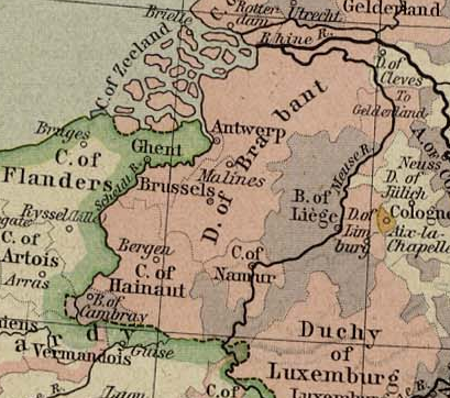
The Duchy of Brabant was a State of the Holy Roman Empire established in 1183. It developed from the Landgraviate of Brabant and formed the heart of the historic Low Countries, part of the Burgundian Netherlands from 1430 and of the Habsburg Netherlands from 1482, until it was partitioned after the Dutch revolt. Present-day North Brabant (''Noord-Brabant'') was ceded to the Generality Lands of the Dutch Republic according to the 1648 Peace of Westphalia, while the reduced duchy remained part of the Habsburg Netherlands until it was conquered by French Revolutionary forces in 1794, which was recognized by treaty in 1797. Today all the duchy's former territories, apart from exclaves, are in Belgium except for the Dutch province of North Brabant. Geography The Duchy of Brabant (adjective: '' Brabantian'' or '' Brabantine'') was historically divided into four parts, each with its own capital. The four capitals were Leuven, Brussels, Antwerp and 's-Hertogenbosch. Before ' ... [...More Info...] [...Related Items...] OR: [Wikipedia] [Google] [Baidu] |
Hessisches Statistisches Landesamt ...
The statistical offices of the German states ( German: ''Statistische Landesämter'') carry out the task of collecting official statistics in Germany together and in cooperation with the Federal Statistical Office. The implementation of statistics according to Article 83 of the constitution is executed at state level. The federal government has, under Article 73 (1) 11. of the constitution, the exclusive legislation for the "statistics for federal purposes." There are 14 statistical offices for the 16 states: See also * Federal Statistical Office of Germany References {{Reflist Germany Statistical offices Germany Germany, officially the Federal Republic of Germany (FRG),, is a country in Central Europe. It is the most populous member state of the European Union. Germany lies between the Baltic and North Sea to the north and the Alps to the sou ... [...More Info...] [...Related Items...] OR: [Wikipedia] [Google] [Baidu] |


