|
Searcy Micropolitan Area
White County is a county located in the U.S. state of Arkansas. As of the 2010 census, the population was 77,076. The county seat is Searcy. White County is Arkansas's 31st county, formed on October 23, 1835, from portions of Independence, Jackson, and Pulaski counties and named for Hugh Lawson White, a Whig candidate for President of the United States. It is an alcohol prohibition or dry county, though a few private establishments (such as the Searcy Country Club, and Veterans of Foreign Wars posts in Searcy and Beebe) can serve alcohol. White County comprises the Searcy, AR Micropolitan Statistical Area, which is also included in the Little Rock- North Little Rock, AR Combined Statistical Area. History On May 17, 1862, White County was the site of the Little Red Skirmish between Union Major General Samuel J Curtis and a force of about 100 loosely-organized Confederates, followed by the battle at Whitney Lane in June. also known as The Skirmish at Searcy Landin ... [...More Info...] [...Related Items...] OR: [Wikipedia] [Google] [Baidu] |
Hugh Lawson White
Hugh Lawson White (October 30, 1773April 10, 1840) was a prominent American politician during the first third of the 19th century. After filling in several posts particularly in Tennessee's judiciary and state legislature since 1801, thereunder as a Tennessee Supreme Court justice, he was chosen to succeed former presidential candidate Andrew Jackson in the United States Senate in 1825. He became a member of the new Democratic Party, supporting Jackson's policies and his future presidential administration. However, he left the Democrats in 1836 and was a Whig candidate in that year's presidential election.Mary Rothrock, ''The French Broad-Holston Country: A History of Knox County, Tennessee'' (Knoxville, Tenn.: East Tennessee Historical Society, 1972), pp. 501-502. An ardent strict constructionist and lifelong states' rights advocate, White was one of President Jackson's most trusted allies in Congress in the late 1820s and early 1830s.Nancy Scott, A Memoir of Hugh Lawson White' ... [...More Info...] [...Related Items...] OR: [Wikipedia] [Google] [Baidu] |
Battle Of Whitney's Lane
The Battle of Whitney's Lane (also known as the Action at Whitney's Lane) was a small, but psychologically important, land battle of the American Civil War fought on May 19, 1862, in north-central Arkansas. Strategic situation Union situation In early 1862, Union Major General Samuel R. Curtis had successfully invaded northwest Arkansas and defeated Confederate forces at the Battle of Pea Ridge. Soon after, most Confederate forces in Arkansas were withdrawn across the Mississippi River, leaving the state almost defenseless. Curtis intended to press his invasion with the hope of reaching the capital city of Little Rock and knocking the state out of the war. Confederate situation The Confederate outlook in the spring of 1862 was grim. Most of its armed forces had been withdrawn from Arkansas and no commander with field experience remained. General John Selden Roane was put in charge of the remaining Arkansas forces. Maneuvering to battle Union movements General Curti ... [...More Info...] [...Related Items...] OR: [Wikipedia] [Google] [Baidu] |
Highway 16 (Arkansas)
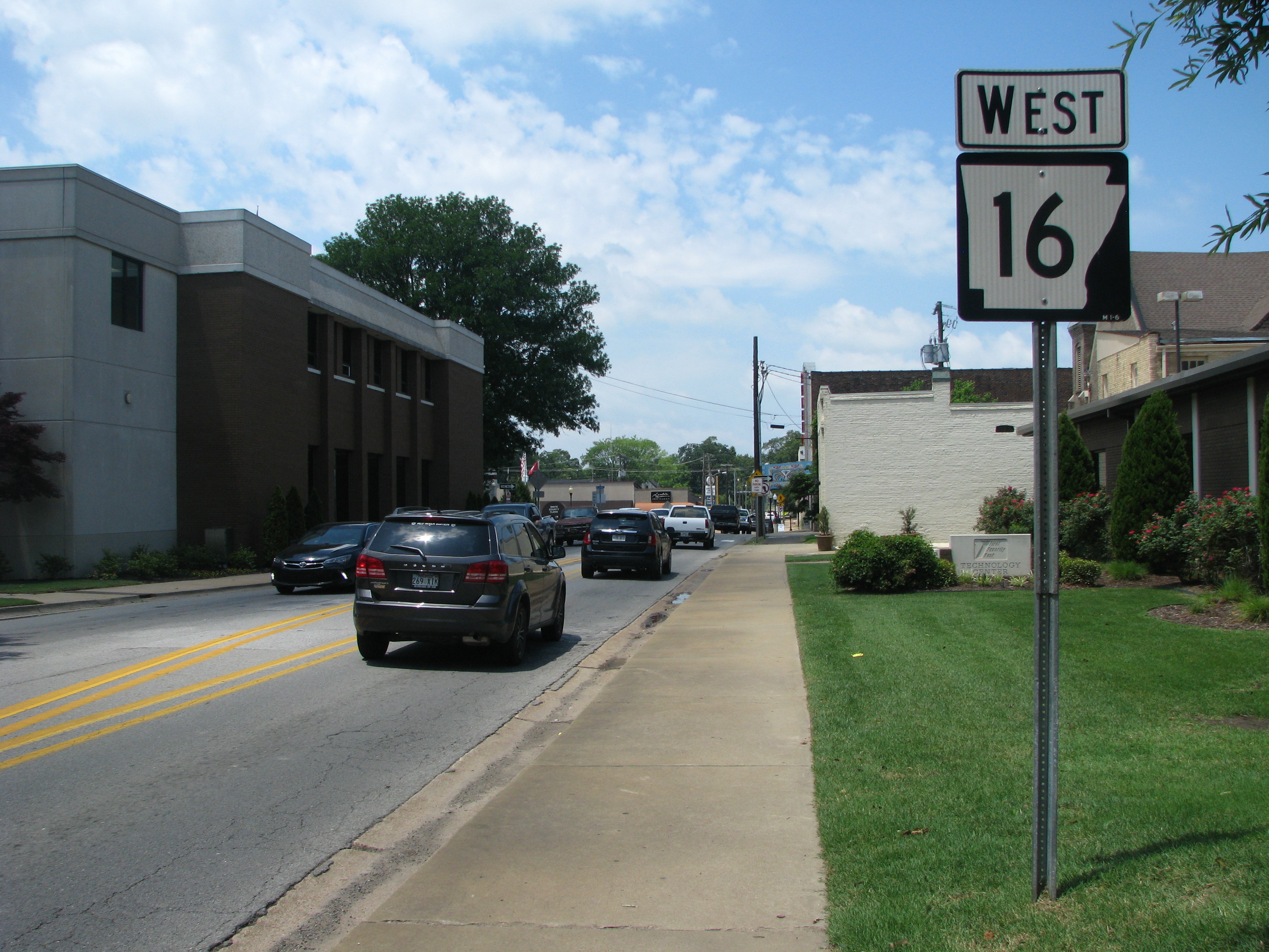
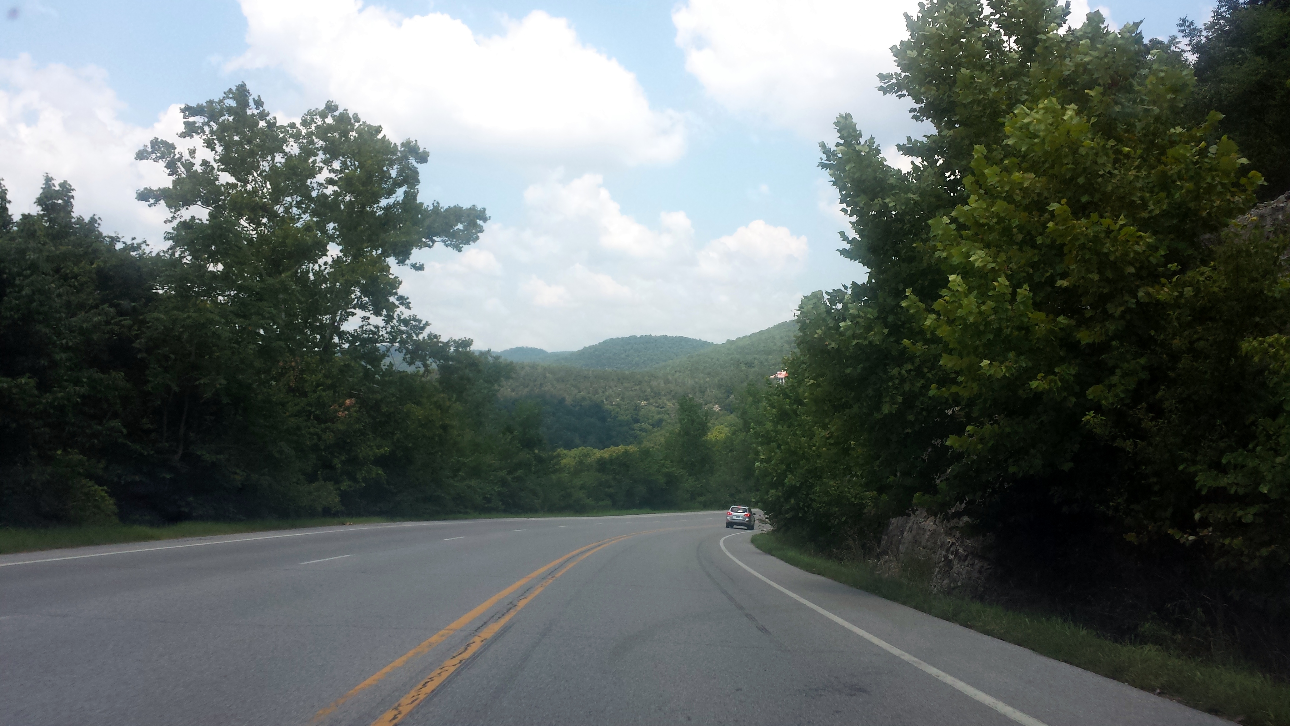
Highway 16 (AR 16, Ark. 16, and Hwy. 16) is an east–west state highway in Arkansas. The route begins in Siloam Springs at US Highway 412 (US 412) and Highway 59 and runs east through Fayetteville and the Ozark National Forest to US Highway 67 Business (US 67B) in Searcy. Highway 16 was created during the 1926 Arkansas state highway numbering, and today serves as a narrow, winding, 2-lane road except for overlaps of through Fayetteville. Much of the highway winds through the Ozarks, including the Ozark National Forest, where a portion of the highway is designated as an Arkansas Scenic Byway. The route has two spur routes in Northwest Arkansas; in Fayetteville and Siloam Springs. Route description Highway 16 begins in Siloam Springs in Benton County, 3 miles (4.8 km) from the Oklahoma border. The highway's western terminus is US 412/AR 59 in a commercial area; it runs south to Kenwood Avenue, which is designa ... [...More Info...] [...Related Items...] OR: [Wikipedia] [Google] [Baidu] |
Arkansas 16
Highway 16 (AR 16, Ark. 16, and Hwy. 16) is an east–west state highway in Arkansas. The route begins in Siloam Springs at US Highway 412 (US 412) and Highway 59 and runs east through Fayetteville and the Ozark National Forest to US Highway 67 Business (US 67B) in Searcy. Highway 16 was created during the 1926 Arkansas state highway numbering, and today serves as a narrow, winding, 2-lane road except for overlaps of through Fayetteville. Much of the highway winds through the Ozarks, including the Ozark National Forest, where a portion of the highway is designated as an Arkansas Scenic Byway. The route has two spur routes in Northwest Arkansas; in Fayetteville and Siloam Springs. Route description Highway 16 begins in Siloam Springs in Benton County, 3 miles (4.8 km) from the Oklahoma border. The highway's western terminus is US 412/AR 59 in a commercial area; it runs south to Kenwood Avenue, which is designa ... [...More Info...] [...Related Items...] OR: [Wikipedia] [Google] [Baidu] |
Highway 13 (Arkansas)
Highway 13 (AR 13, Ark. 13 and Hwy. 13) is a designation for three state highways in the central part of the U.S. state of Arkansas. The longest segment of travels from U.S. Route 79 (US 79) in Humphrey to Campground Road east of Beebe. There exists two short segments in White County; one traveling from Highway 367 in McRae to Highway 36 in Searcy and the other traveling from Highway 367 in Judsonia to Highway 258. The southern part of Highway 13 was replaced by Highway 81 during World War II. Then, in 1989, when US 425 was commissioned, it replaced most of Highway 81. Route description Beebe to Humphrey Highway 13 starts east of Beebe and heads south to Highway 38 at Hickory Plains, and a crossing of both I-40 and US 70 in Carlisle. The route continues south to US 165 in Humnoke and to US 63/US 79 at Humphrey, where the route terminates. McRae to Highway 385 The route begins in ... [...More Info...] [...Related Items...] OR: [Wikipedia] [Google] [Baidu] |
Arkansas 13
Highway 13 (AR 13, Ark. 13 and Hwy. 13) is a designation for three state highways in the central part of the U.S. state of Arkansas. The longest segment of travels from U.S. Route 79 (US 79) in Humphrey to Campground Road east of Beebe. There exists two short segments in White County; one traveling from Highway 367 in McRae to Highway 36 in Searcy and the other traveling from Highway 367 in Judsonia to Highway 258. The southern part of Highway 13 was replaced by Highway 81 during World War II. Then, in 1989, when US 425 was commissioned, it replaced most of Highway 81. Route description Beebe to Humphrey Highway 13 starts east of Beebe and heads south to Highway 38 at Hickory Plains, and a crossing of both I-40 and US 70 in Carlisle. The route continues south to US 165 in Humnoke and to US 63/US 79 at Humphrey, where the route terminates. McRae to Highway 385 The route begins in ... [...More Info...] [...Related Items...] OR: [Wikipedia] [Google] [Baidu] |
Highway 11 (Arkansas)
Arkansas Highway 11 (AR 11 and Hwy. 11) is a designation for three state highways in Arkansas. One segment of runs from US Route 63 (US 63) at Pansy to Huff Island Public Use Area near Grady. A second segment of begins just across the Arkansas River at the eastern terminus of Highway 88 at Reydell and runs north to US 65 west of De Witt. A third route of runs from Interstate 40 (I-40) and US 63 in Hazen north to Highway 367 in Searcy. One segment of the original Arkansas Highway 11 from the state highway system's creation in 1926 has been listed on the National Register of Historic Places (NRHP) in Arkansas County. Route description Pansy to the Arkansas River AR 11 begins in Cleveland County at US 63 in Pansy and runs east. The continues northeast upon entering Lincoln County, intersecting US 425/ AR 45 in Star City. AR 11 has a business route in Star City. AR 11 runs east until Fresno, when it turns north and meets US 65 in Grady. After Grady, the rou ... [...More Info...] [...Related Items...] OR: [Wikipedia] [Google] [Baidu] |
Arkansas 11
Arkansas Highway 11 (AR 11 and Hwy. 11) is a designation for three state highways in Arkansas. One segment of runs from US Route 63 (US 63) at Pansy to Huff Island Public Use Area near Grady. A second segment of begins just across the Arkansas River at the eastern terminus of Highway 88 at Reydell and runs north to US 65 west of De Witt. A third route of runs from Interstate 40 (I-40) and US 63 in Hazen north to Highway 367 in Searcy. One segment of the original Arkansas Highway 11 from the state highway system's creation in 1926 has been listed on the National Register of Historic Places (NRHP) in Arkansas County. Route description Pansy to the Arkansas River AR 11 begins in Cleveland County at US 63 in Pansy and runs east. The continues northeast upon entering Lincoln County, intersecting US 425/AR 45 in Star City. AR 11 has a business route in Star City. AR 11 runs east until Fresno, when it turns north and meets US 65 in Grady. After Grady, the rout ... [...More Info...] [...Related Items...] OR: [Wikipedia] [Google] [Baidu] |
Highway 5 (Arkansas)
Highway 5 (AR 5, Ark. 5, and Hwy. 5) is a designation for three state highways in Arkansas. The southern segment of runs from Highway 7 in Hot Springs north to US Highway 70 (US 70) in Little Rock. A northern segment of begins at US Highway 67/ US Highway 167 (Future Interstate 57) in Cabot and runs north to Missouri Route 5, including a lengthy overlap with Highway 25 between Heber Springs and Wolf Bayou. A portion of Highway 5 is designated as part of the Sylamore Scenic Byway. The Main Street Bridge in Little Rock carries a hidden Highway 5 designation. The bridge is in span. Route description Hot Springs to Little Rock In the future, Highway 5 will begin at junction US 70 and US 70 Business Route east of Hot Springs. The new extended roadway will be a Two-lane expressway. Currently, Highway 5 begins north of Hot Springs at Highway 7 and runs northeast to Fountain Lake. In the city the highway has a ... [...More Info...] [...Related Items...] OR: [Wikipedia] [Google] [Baidu] |
Arkansas 5
Highway 5 (AR 5, Ark. 5, and Hwy. 5) is a designation for three state highways in Arkansas. The southern segment of runs from Highway 7 in Hot Springs north to US Highway 70 (US 70) in Little Rock. A northern segment of begins at US Highway 67/ US Highway 167 (Future Interstate 57) in Cabot and runs north to Missouri Route 5, including a lengthy overlap with Highway 25 between Heber Springs and Wolf Bayou. A portion of Highway 5 is designated as part of the Sylamore Scenic Byway. The Main Street Bridge in Little Rock carries a hidden Highway 5 designation. The bridge is in span. Route description Hot Springs to Little Rock In the future, Highway 5 will begin at junction US 70 and US 70 Business Route east of Hot Springs. The new extended roadway will be a Two-lane expressway. Currently, Highway 5 begins north of Hot Springs at Highway 7 and runs northeast to Fountain Lake. In the city the highway has a ... [...More Info...] [...Related Items...] OR: [Wikipedia] [Google] [Baidu] |
US 167
The United States of America (U.S.A. or USA), commonly known as the United States (U.S. or US) or America, is a country Continental United States, primarily located in North America. It consists of 50 U.S. state, states, a Washington, D.C., federal district, five major unincorporated territories, nine United States Minor Outlying Islands, Minor Outlying Islands, and 326 Indian reservations. The United States is also in Compact of Free Association, free association with three Oceania, Pacific Island Sovereign state, sovereign states: the Federated States of Micronesia, the Marshall Islands, and the Palau, Republic of Palau. It is the world's List of countries and dependencies by area, third-largest country by both land and total area. It shares land borders Canada–United States border, with Canada to its north and Mexico–United States border, with Mexico to its south and has maritime borders with the Bahamas, Cuba, Russia, and other nations. With a population of over 333 m ... [...More Info...] [...Related Items...] OR: [Wikipedia] [Google] [Baidu] |
US 67
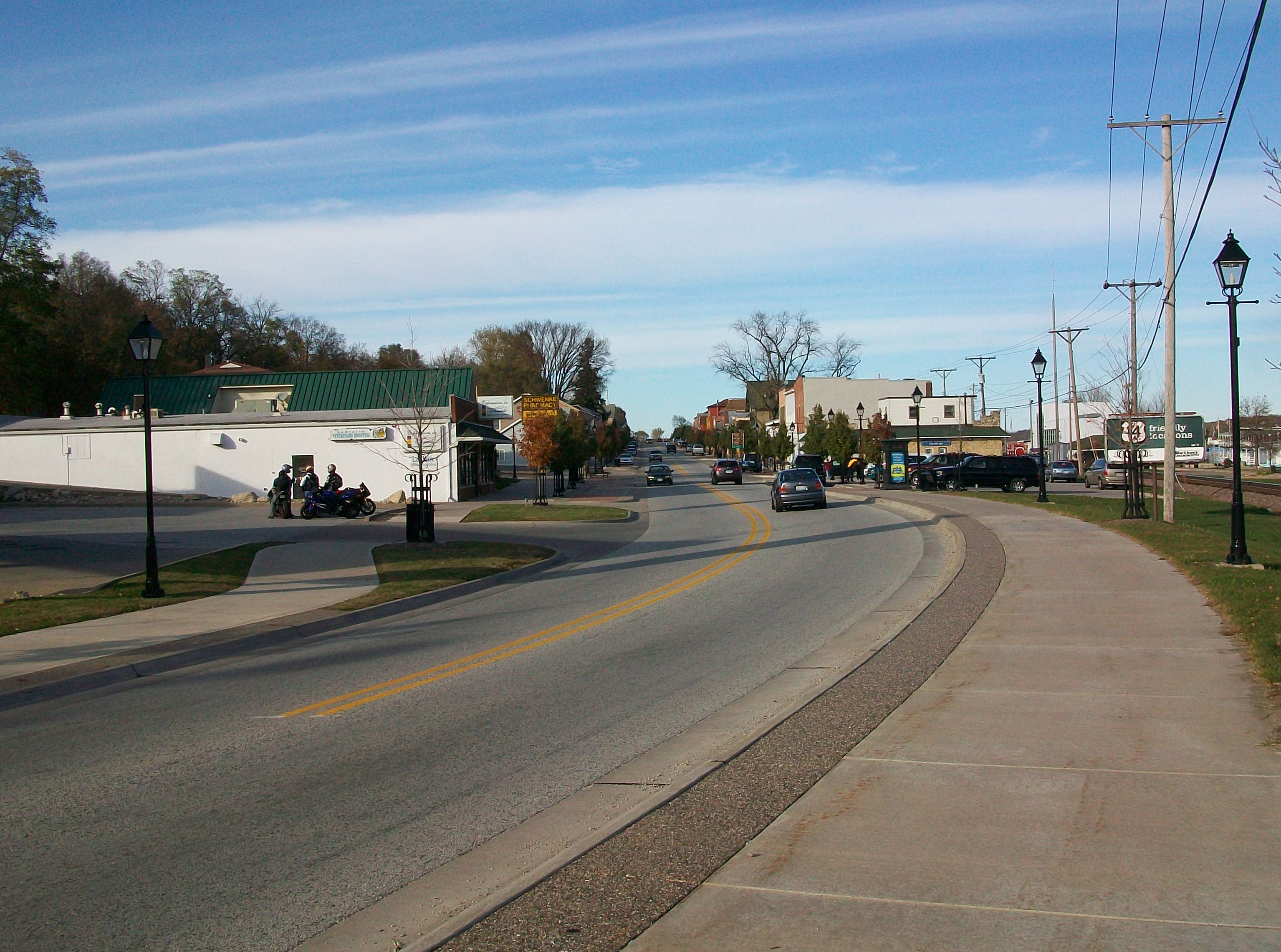
U.S. Route 67 is a major north–south U.S. highway which extends for 1,560 miles (2,511 km) in the Central United States. The southern terminus of the route is at the United States-Mexico border in Presidio, Texas, where it continues south as Mexican Federal Highway 16 upon crossing the Rio Grande. The northern terminus is at U.S. Route 52 in Sabula, Iowa. US 67 crosses the Mississippi River twice along its routing. The first crossing is at West Alton, Missouri, where US 67 uses the Clark Bridge to reach Alton, Illinois. About to the north, US 67 crosses the river again at the Rock Island Centennial Bridge between Rock Island, Illinois, and Davenport, Iowa. Additionally, the route crosses the Missouri River via the Lewis Bridge a few miles southwest of the Clark Bridge. Route description , - , TX , 766 , 1233 , - , AR , 325 , 523 , - , MO , 201 , 323 , - , IL , 212 , 341 , - , IA , 56 , 90 , - , Total , 1560 , 2511 Texas Throughout Texas, US 67 runs in a ... [...More Info...] [...Related Items...] OR: [Wikipedia] [Google] [Baidu] |


