|
Schwalm-Eder
Schwalm-Eder is an electoral constituency (German: ''Wahlkreis'') represented in the Bundestag. It elects one member via first-past-the-post voting. Under the current constituency numbering system, it is designated as constituency 170. It is located in northern Hesse, comprising the Schwalm-Eder-Kreis district and the southern part of the Waldeck-Frankenberg district. Schwalm-Eder was created for the inaugural 1949 federal election. Since 2009, it has been represented by Edgar Franke of the Social Democratic Party (SPD). Geography Schwalm-Eder is located in northern Hesse. As of the 2021 federal election, it comprises the entirety of the Schwalm-Eder-Kreis district and the municipalities of Allendorf (Eder), Battenberg (Eder), Bromskirchen, Burgwald, Frankenau, Frankenberg, Gemünden (Wohra), Haina, Hatzfeld, Rosenthal, and Vöhl from the Waldeck-Frankenberg district. History Schwalm-Eder was created in 1949, then known as ''Fritzlar-Homberg''. In the 1976 election, it was name ... [...More Info...] [...Related Items...] OR: [Wikipedia] [Google] [Baidu] |
Schwalm-Eder-Kreis
Schwalm-Eder-Kreis is a ''Kreis'' (district) in the north of Hesse, Germany. Neighbouring districts are Kassel, Werra-Meißner, Hersfeld-Rotenburg, Vogelsberg, Marburg-Biedenkopf, and Waldeck-Frankenberg. History In 1821 districts were created in Hesse. They included the districts of Fritzlar, Homberg, Melsungen, and Ziegenhain. In 1932 the districts of Fritzlar and Homberg were merged; in 1974 the three districts of Fritzlar-Homberg, Melsungen, and Ziegenhain were merged into the Schwalm-Eder district. The district is twinned with the Finnish city of Kajaani, the British district of Sedgemoor, and the Polish district of Piła. Geography The Schwalm and Eder rivers give the district its name. After they merge close to Felsberg, the Eder enters the Fulda to the north at Edermunde. The southeast of the district includes a portion of the Knüllgebirge range of low mountains; the highest elevation is . In the north are the hills of the ''Homberger Hochland''. The centre of the ... [...More Info...] [...Related Items...] OR: [Wikipedia] [Google] [Baidu] |
Fritzlar
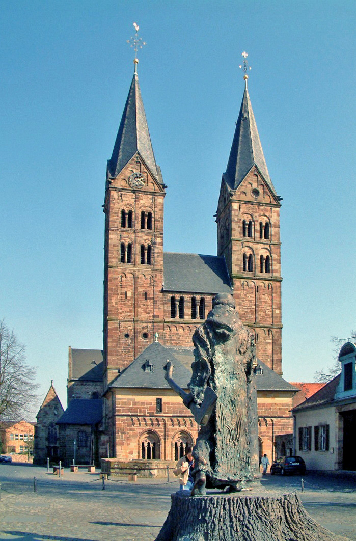
Fritzlar () is a small town (pop. 15,000) in the Schwalm-Eder district in northern Hesse, Germany, north of Frankfurt, with a storied history. The town has a medieval center ringed by a wall with numerous watch towers. Thirty-eight meters (125 ft) high, the "Grey Tower" ("Grauer Turm") is the highest remaining urban defense tower in Germany. The city hall, first documented in 1109, with a stone relief of St. Martin, the town's patron saint, is the oldest in Germany still in use for its original purpose. The Gothic church of the old Franciscan monastery is today the Protestant parish church, and the monastery's other buildings have been converted into a modern hospital. Many houses in the town center, notably around the market square, date from the 15th to 17th centuries and have been carefully maintained or restored. The town is dominated by the imposing Romanesque-Gothic Church of St. Peter from the 12th-14th centuries. In 1974, the town hosted the 14th ''Hessentag'' sta ... [...More Info...] [...Related Items...] OR: [Wikipedia] [Google] [Baidu] |
Guxhagen
Guxhagen is a municipality in Schwalm-Eder district in northern Hesse, Germany. Geography Guxhagen lies about 15 km south of Kassel between the Habichtswald Nature Park and the Meißner-Kaufunger Wald Nature Park on the river Fulda. It neighbors Edermünde, Felsberg, Fuldabrück and Körle. The community consists of the six centers of Albshausen, Büchenwerra, Ellenberg, Grebenau, Guxhagen and Wollrode. History Guxhagen was first documented in 1352 under the name ''Kukushayn''. From 1664-1941, there were Jewish families living in Guxhagen who formed their own community and built a synagogue and school. After the events at the Kristallnacht pogrom of 1938, the number of community members decreased to 64 in 1939 (3.3% of 1,919). In connection with the November pogrom, eleven Jewish men and a boy were arrested and brought to Breitenau concentration camp. After this event, many Jews left. During The Holocaust the rest of Jews were deported to concentration camps and most o ... [...More Info...] [...Related Items...] OR: [Wikipedia] [Google] [Baidu] |
Malsfeld
Malsfeld is a municipality in the Schwalm-Eder district in Hesse, Germany, on the river Fulda. The community consists of the centres of Beiseförth, Dagobertshausen, Elfershausen, Mosheim, Malsfeld, Ostheim and Sipperhausen. The community was once a railway hub on the Kassel–Bebra and Treysa–Eschwege lines. It has an interchange on the Autobahn A 7. Constituent communities Beiseförth Although it had its first documentary mention in 1348 as "Beysenvorte", the community is believed to date back to the 8th century. In 1603, "Beysenfort" became a fief of Philip von Scholley. Until about 1870, shipping on the river Fulda with Kassel und Hersfeld was as important a source of income as linen weaving and later basketry. Among the sights to see are the ''Schiffhaus'' ("Ship House") where the Beise empties into the Fulda, and the ''Korbmachermuseum'' ("Basket Maker's Museum"). Dagobertshausen A legend holds that the name Dagobertshausen comes from Frankish King Dagobert I, ... [...More Info...] [...Related Items...] OR: [Wikipedia] [Google] [Baidu] |
Schwalmstadt
Schwalmstadt is the largest town in the Schwalm-Eder district, in northern Hesse, Germany. It was established only in 1970 with the amalgamation of the towns of Treysa and Ziegenhain together with some outlying villages to form the town of Schwalmstadt. Geography Location Schwalmstadt lies in the Schwalm region in the western Knüll, a low mountain range. Through the town flows the river Schwalm. The nearest large towns are Kassel (about 50 km to the north), Bad Hersfeld (about 35 km to the east), Marburg (about 40 km to the southwest) and Fulda (about 70 km to the southeast). Constituent communities Besides the core of Treysa, Ziegenhain and Ascherode, the town consists of the centres of Allendorf an der Landsburg, Dittershausen, Florshain, Frankenhain, Michelsberg, Niedergrenzebach, Rommershausen, Rörshain, Trutzhain and Wiera. History In the 8th century, ''Treise'' was owned by the Abbots of Hersfeld. The Counts of ''Cigenhagen'' were named in a docum ... [...More Info...] [...Related Items...] OR: [Wikipedia] [Google] [Baidu] |
Körle
Körle is a municipality in the Schwalm-Eder district in Hesse, Germany. It lies about 20 km south of Kassel near the turn-off for Guxhagen on Autobahn A 7. History Körle was first mentioned in 1074 in a donation document from the Fulda monastery. The community, as it is now, came into being as part of Hesse's municipal reforms, when the communities of Empfershausen, Lobenhausen and Wagenfurth were amalgamated with Körle on 1 February 1971. Partnership The community of Körle has maintained since 1991 a partnership with Floh-Seligenthal in Thuringia Thuringia (; german: Thüringen ), officially the Free State of Thuringia ( ), is a state of central Germany, covering , the sixth smallest of the sixteen German states. It has a population of about 2.1 million. Erfurt is the capital and larg .... References External linksKörle {{DEFAULTSORT:Korle Schwalm-Eder-Kreis ... [...More Info...] [...Related Items...] OR: [Wikipedia] [Google] [Baidu] |
Felsberg, Hesse
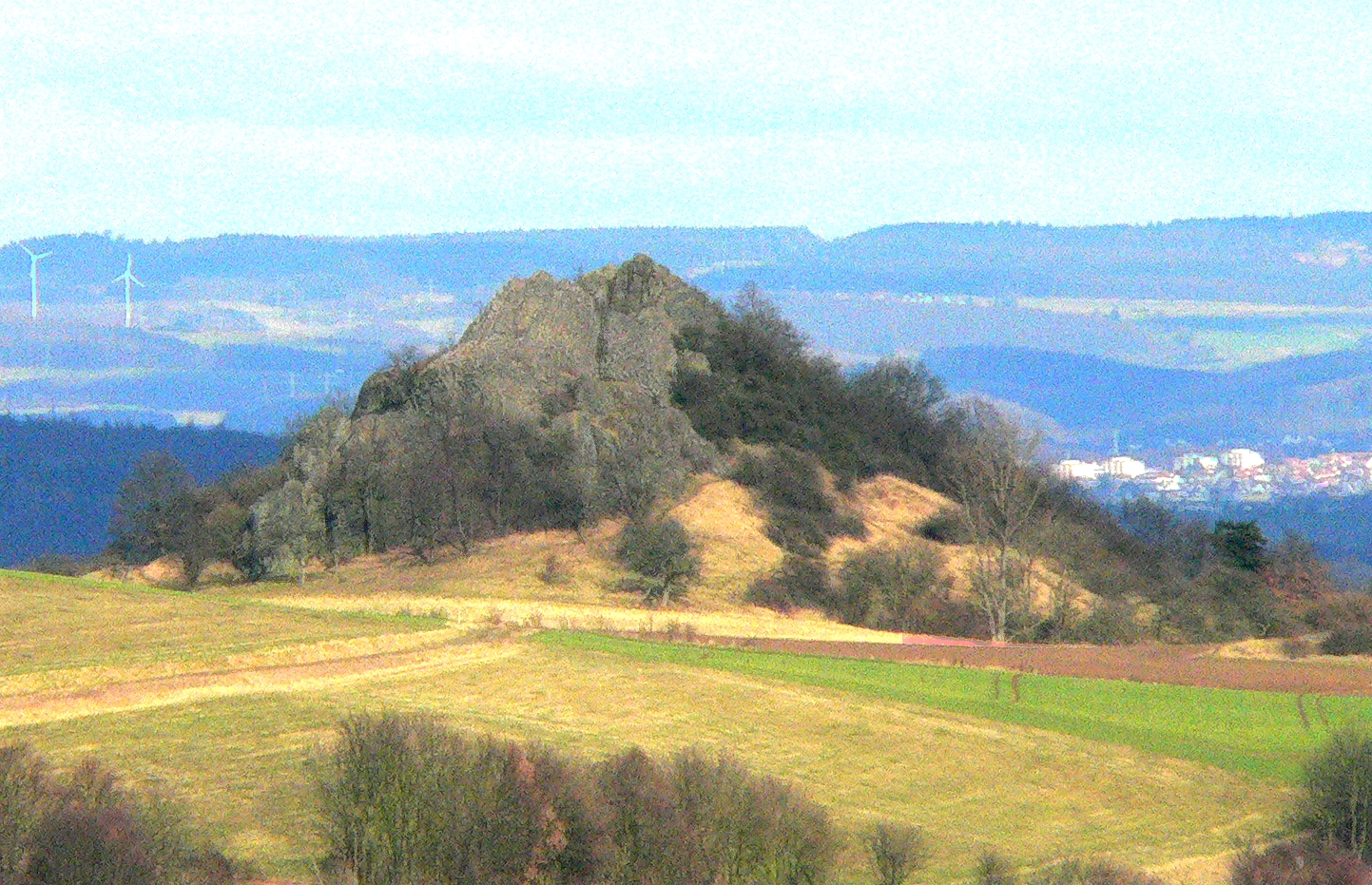
Felsberg is a town in the Schwalm-Eder district about south of Kassel. Geography The landscape around Felsberg is marked by hills and small lakes, as well as the remains of gravel quarrying. As part of the West Hesse Depression, it lies in a sunken area that was formed by volcanic activity in the Tertiary subera. The change from partly basaltic hills to smooth river valleys is striking. While the river valleys are covered by fluvial sediments, fertile loess beds can be found higher up. The river Eder flows through Felsberg's municipal area. Near Gensungen lies the Heiligenberg ("Holy Mountain") with the ruins of the Heiligenburg Castle. Constituent communities The town consists of 15 communities: Altenbrunslar, Altenburg, Beuern, Böddiger, Gensungen, Helmshausen, Hesserode, Heßlar, Hilgershausen, Lohre, Melgershausen, Neuenbrunslar, Niedervorschütz, Rhünda and Wolfershausen together with the historic Felsberg, to which the other, formerly independent communities we ... [...More Info...] [...Related Items...] OR: [Wikipedia] [Google] [Baidu] |
Alsfeld
Alsfeld () is a town in the center of Hesse, in Germany. Located about north of Frankfurt, Alsfeld is in the center of Hesse and part of the densely populated Frankfurt Rhine-Main Metropolitan Region. It is well known for its well-preserved old town with hundreds of timber-frame houses, and part of the German Timber-Frame Road. Geography Large towns nearby are Bad Hersfeld about to the east, Fulda to the southeast, Gießen to the west and Marburg an der Lahn about to the northwest. Alsfeld is located on the upper part of the Schwalm in the northern Vogelsberg and just to the south of the Knüll mountains at the western edge of the Alsfeld basin. Neighboring communities Alsfeld borders on the following towns, listed here clockwise starting in the north: Willingshausen, Schrecksbach, Ottrau (all Schwalm-Eder district), Breitenbach ( Hersfeld-Rotenburg district) and Grebenau, Schwalmtal, Romrod, Kirtorf and Antrifttal (all Vogelsbergkreis). Boroughs In addition t ... [...More Info...] [...Related Items...] OR: [Wikipedia] [Google] [Baidu] |
Haina
Haina (Kloster) is a municipality in Waldeck-Frankenberg in northwest Hesse, Germany. Geography Location Haina lies in Waldeck-Frankenberg south of Frankenberg and east of Burgwald at the southwest slope of the Kellerwald range. It lies on the river Wohra not far west of the Hohes Lohr (the Kellerwald range's second highest peak at 657 m). Neighbouring communities Haina borders in the northwest on the town of Frankenau, in the northeast on the town of Bad Wildungen (both in Waldeck-Frankenberg), in the east on the community of Bad Zwesten, in the southeast on the communities of Jesberg and Gilserberg (all three in the Schwalm-Eder-Kreis), in the south on the town of Gemünden, and in the west on the community of Burgwald and the town of Frankenberg (all three in Waldeck-Frankenberg). Constituent communities Haina consists of the following 12 centres: Altenhaina, Battenhausen, Bockendorf, Dodenhausen, Haddenberg, Haina (administrative seat), Halgehausen, Hüttenrode, Lö ... [...More Info...] [...Related Items...] OR: [Wikipedia] [Google] [Baidu] |
Hesse
Hesse (, , ) or Hessia (, ; german: Hessen ), officially the State of Hessen (german: links=no, Land Hessen), is a States of Germany, state in Germany. Its capital city is Wiesbaden, and the largest urban area is Frankfurt. Two other major historic cities are Darmstadt and Kassel. With an area of 21,114.73 square kilometers and a population of just over six million, it ranks seventh and fifth, respectively, among the sixteen German states. Frankfurt Rhine-Main, Germany's second-largest metropolitan area (after Rhine-Ruhr), is mainly located in Hesse. As a cultural region, Hesse also includes the area known as Rhenish Hesse (Rheinhessen) in the neighbouring state of Rhineland-Palatinate. Name The German name '':wikt:Hessen#German, Hessen'', like the names of other German regions (''Schwaben'' "Swabia", ''Franken'' "Franconia", ''Bayern'' "Bavaria", ''Sachsen'' "Saxony"), derives from the dative plural form of the name of the inhabitants or German tribes, eponymous tribe, the Hes ... [...More Info...] [...Related Items...] OR: [Wikipedia] [Google] [Baidu] |
Waldeck-Frankenberg
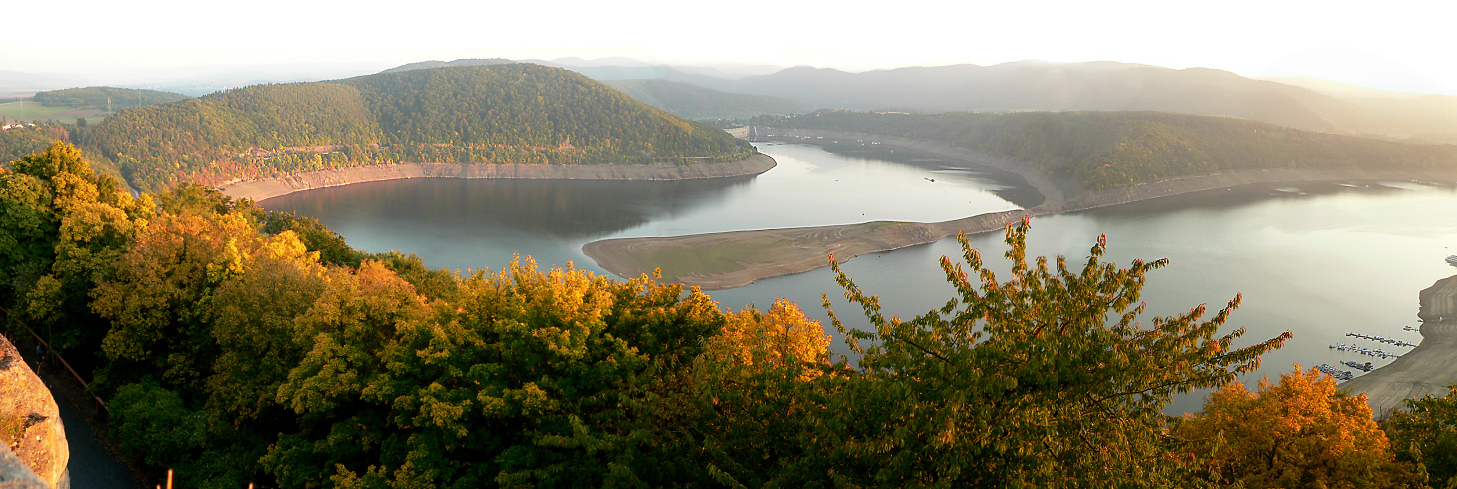
Waldeck-Frankenberg is a ''Kreis'' (district) in the north of Hesse, Germany. Neighbouring districts are Höxter, Kassel, Schwalm-Eder, Marburg-Biedenkopf, Siegen-Wittgenstein, Hochsauerland. History The district was created in 1972 by merging the two districts of Frankenberg and Waldeck. Most of the area of the district was previously part of the ''Freistaat Waldeck'', the successor of the principality of Waldeck. Geography The district is located in the mountains of the Sauerland, with the highest elevation in the district of . With , it's the largest district in Hessen. Four artificial lakes created by dams are in the district, the biggest is the Edersee, which covers an area of . The Eder is also the main river in the district; the Diemel in the north is a smaller river. Mountains * Sähre Coat of arms ;Blason :''“Per bend sinister Azure a lion rampant issuant per fess Argent and Gules and Or a star with eight rays Sable.”'' The coat of arms shows the lion of Hesse i ... [...More Info...] [...Related Items...] OR: [Wikipedia] [Google] [Baidu] |
2017 German Federal Election
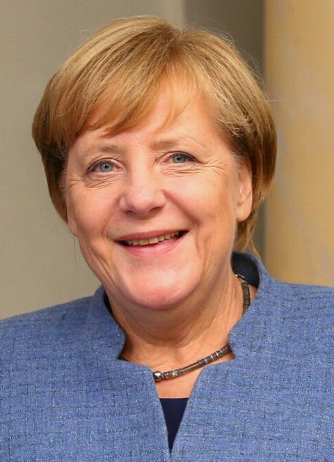
Federal elections were held in Germany on 24 September 2017 to elect the members of the 19th Bundestag. At stake were at least 598 seats in the Bundestag, as well as 111 overhang and leveling seats determined thereafter. The Christian Democratic Union of Germany and the Christian Social Union of Bavaria ( CDU/CSU), led by incumbent chancellor Angela Merkel, won the highest percentage of the vote with 33%, though it suffered a large swing against it of more than 8%. The Social Democratic Party of Germany (SPD) achieved its worst result since post-war Germany at 21%. Alternative for Germany (AfD), which was previously unrepresented in the Bundestag, became the third party in the Bundestag with 12.6% of the vote, whilst the Free Democratic Party (FDP) won 10.7% of the vote and returned to the Bundestag after losing all their seats in 2013. It was the first time since 1957 that a party to the political right of the CDU/CSU gained seats in the Bundestag. The other parties to achi ... [...More Info...] [...Related Items...] OR: [Wikipedia] [Google] [Baidu] |


_2003-05-18_(3).jpg)


