|
Schuman Railway Station
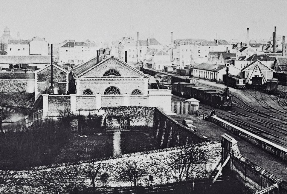
Brussels-Schuman railway station (french: Gare de Bruxelles-Schuman, nl, Station Brussel-Schuman), officially Brussels-Schuman (french: Bruxelles-Schuman, link=no, nl, Brussel-Schuman, link=no), is a railway station in the City of Brussels, Belgium, serving the European Quarter. It received its name from the area around the Robert Schuman Roundabout, itself named after Robert Schuman. Underneath Brussels-Schuman is the rapid transit Schuman station on lines 1 and 5 of the Brussels Metro system, which serves as an important node of the Brussels Intercommunal Transport Company (STIB/MIVB). History The original railway line through the station site ran between Brussels-Luxembourg and Brussels-North and was opened on 23 October 1856, though no station was provided. In about 1865, the ''Grande Compagnie du Luxembourg'' received subsidies from the state to open stations on the line, by that point surrounded by rapid housing development, and opened a halt called Bruxelles (Ru ... [...More Info...] [...Related Items...] OR: [Wikipedia] [Google] [Baidu] |
:Category:Railway Stations In Belgium
{{Portal, Belgium Belgium Stations Belgium Belgium, ; french: Belgique ; german: Belgien officially the Kingdom of Belgium, is a country in Northwestern Europe. The country is bordered by the Netherlands to the north, Germany to the east, Luxembourg to the southeast, France to th ... Transport buildings and structures in Belgium Passenger rail transport in Belgium ... [...More Info...] [...Related Items...] OR: [Wikipedia] [Google] [Baidu] |
Brussels-Luxembourg Railway Station
Brussels-Luxembourg railway station (french: Gare de Bruxelles-Luxembourg, nl, Station Brussel-Luxemburg), officially Brussels-Luxembourg (french: Bruxelles-Luxembourg, link=no, nl, Brussel-Luxemburg, link=no), is a railway station Rail transport (also known as train transport) is a means of transport that transfers passengers and goods on wheeled vehicles running on rails, which are incorporated in tracks. In contrast to road transport, where the vehicles run on a pre ... in the Brussels and the European Union#European Quarter, European Quarter of Brussels, under the Esplanade of the European Parliament (part of the European Parliament Espace Léopold, complex). History The station was built between 1854 and 1855 by the ''Grande Compagnie de Luxembourg'', as part of the Brussels-Luxembourg railway line it was constructing. It was to service the new Leopold Quarter, hence its original name of Leopold Quarter railway station (french: Gare du Quartier Léopold, link=n ... [...More Info...] [...Related Items...] OR: [Wikipedia] [Google] [Baidu] |
Namur (city)
Namur (; ; nl, Namen ; wa, Nameur) is a city and municipality in Wallonia, Belgium. It is both the capital of the province of Namur and of Wallonia, hosting the Parliament of Wallonia, the Government of Wallonia and its administration. Namur stands at the confluence of the rivers Sambre and Meuse and straddles three different regions – Hesbaye to the north, Condroz to the south-east, and Entre-Sambre-et-Meuse to the south-west. The city of Charleroi is located to the west. The language spoken is French. The municipality consists of the following districts: Beez, Belgrade, Boninne, Bouge, Champion, Cognelée, Daussoulx, Dave, Erpent, Flawinne, Gelbressée, Jambes, Lives-sur-Meuse, Loyers, Malonne, Marche-les-Dames, Naninne, Saint-Servais, Saint-Marc, Suarlée, Temploux, Vedrin, Wépion, and Wierde. History Early history The town began as an important trading settlement in Celtic times, straddling east–west and north–south trade routes across the ... [...More Info...] [...Related Items...] OR: [Wikipedia] [Google] [Baidu] |
Brussels-South Railway Station
Brussels-South railway station (french: Gare de Bruxelles-Midi, nl, Station Brussel-Zuid, IATA code: ZYR), officially Brussels-South (french: Bruxelles-Midi, link=no, nl, Brussel-Zuid, link=no), is a major railway station in Brussels, Belgium. Geographically, it is located in Saint-Gilles/Sint-Gillis on the border with the adjacent municipality of Anderlecht and just south of the City of Brussels. Brussels-South is one of over a dozen railway stations in Brussels, and one of the three principal rail stations in the heart of the city, the two others being Brussels-Central and Brussels-North. The station, which was a terminus when it was inaugurated in 1869, became a transit station with the opening of the North–South connection in 1952. Nowadays, it is the busiest station in Belgium, and is the only Brussels stop for international high-speed rail services: Eurostar, Thalys and ICE. Underneath Brussels-South is the rapid transit / station on lines 2, 3, 4 and 6 of th ... [...More Info...] [...Related Items...] OR: [Wikipedia] [Google] [Baidu] |
Maelbeek/Maalbeek Metro Station
Maelbeek ( French, former Dutch spelling) or Maalbeek (Dutch, ) is a Brussels Metro station in the City of Brussels, Belgium. Its name originates from the Maalbeek stream. The station opened as a ''premetro'' (underground tram) station on 17 December 1969 and became a full metro station on 20 September 1976. Following the reorganisation of the Brussels Metro on 4 April 2009, it is served by lines 1 and 5, which cross Brussels from east to west. History / station was inaugurated on 17 December 1969 as a ''premetro'' station (i.e. a station served by underground tramways), as part of the first underground public transport route in Belgium, which initially stretched from De Brouckère to Schuman. On 20 September 1976, this ''premetro'' line was converted into a heavy metro line, which was later split into two distinct lines on 6 October 1982: former lines 1A and 1B, both serving Maelbeek. , the lines were reorganised and renumbered 1 and 5. 2016 Brussels bombings On 22 Ma ... [...More Info...] [...Related Items...] OR: [Wikipedia] [Google] [Baidu] |
Europa Building
The Europa building is the seat of the European Council and Council of the European Union, located on the Rue de la Loi/Wetstraat in the European Quarter of Brussels, Belgium. Its defining feature is the multi-storey "lantern-shaped" construct holding the main meeting rooms; a representation of which has been adopted by both the European Council and Council of the EU as their official emblems. The Europa building is situated on the former site of the partially demolished and renovated Bloc A of the Résidence Palace, a complex of luxurious apartment blocks. Its exterior combines the listed Art Deco facade of the original 1920s building with the contemporary design of the architect Philippe Samyn. The building is linked via two skyways and a service tunnel to the adjacent Justus Lipsius building, which provides for additional office space, meeting rooms and press facilities. History Construction and former usage: the Résidence Palace Following the end of the First World W ... [...More Info...] [...Related Items...] OR: [Wikipedia] [Google] [Baidu] |
Brussels Airport
Brussels Airport, nl, Luchthaven Brussel, vls, Vliegpling Brussel, german: Flughafen Brüssel is an international airport northeast of Brussels, the capital of Belgium. In 2019, more than 26 million passengers arrived or departed at Brussels Airport, making it the 24th busiest airport in Europe. It is located in the municipality of Zaventem in the Province of Flemish Brabant in the Flemish Region of Belgium. It is home to around 260 companies, together directly employing 20,000 people and serves as the home base for Brussels Airlines and TUI fly Belgium. The company operating the airport is known as The Brussels Airport Company N.V./S.A.; before 19 October 2006, the name was BIAC (Brussels International Airport Company), which was created by Belgian law through a merger of BATC with the ground operations departments of the RLW/RVA. Since 2011, the airport has been owned by the Toronto-based Ontario Teachers' Pension Plan (39%), Macquarie Group (Macquarie European Infras ... [...More Info...] [...Related Items...] OR: [Wikipedia] [Google] [Baidu] |
Leuven
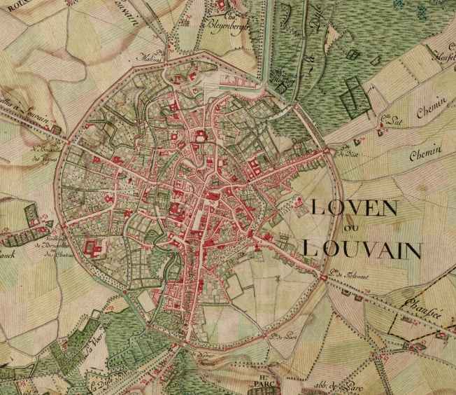
Leuven (, ) or Louvain (, , ; german: link=no, Löwen ) is the capital and largest city of the province of Flemish Brabant in the Flemish Region of Belgium. It is located about east of Brussels. The municipality itself comprises the historic city and the former neighbouring municipalities of Heverlee, Kessel-Lo, a part of Korbeek-Lo, Wilsele and Wijgmaal. It is the eighth largest city in Belgium, with more than 100,244 inhabitants. KU Leuven, Belgium's largest university, has its flagship campus in Leuven, which has been a university city since 1425. This makes it the oldest university city in the Low Countries. The city is home of the headquarters of Anheuser-Busch InBev, the world's largest beer brewer and sixth-largest fast-moving consumer goods company. History Middle Ages The earliest mention of Leuven (''Loven'') dates from 891, when a Viking army was defeated by the Frankish king Arnulf of Carinthia (see: Battle of Leuven). According to a legend, the city's red ... [...More Info...] [...Related Items...] OR: [Wikipedia] [Google] [Baidu] |
Antwerp
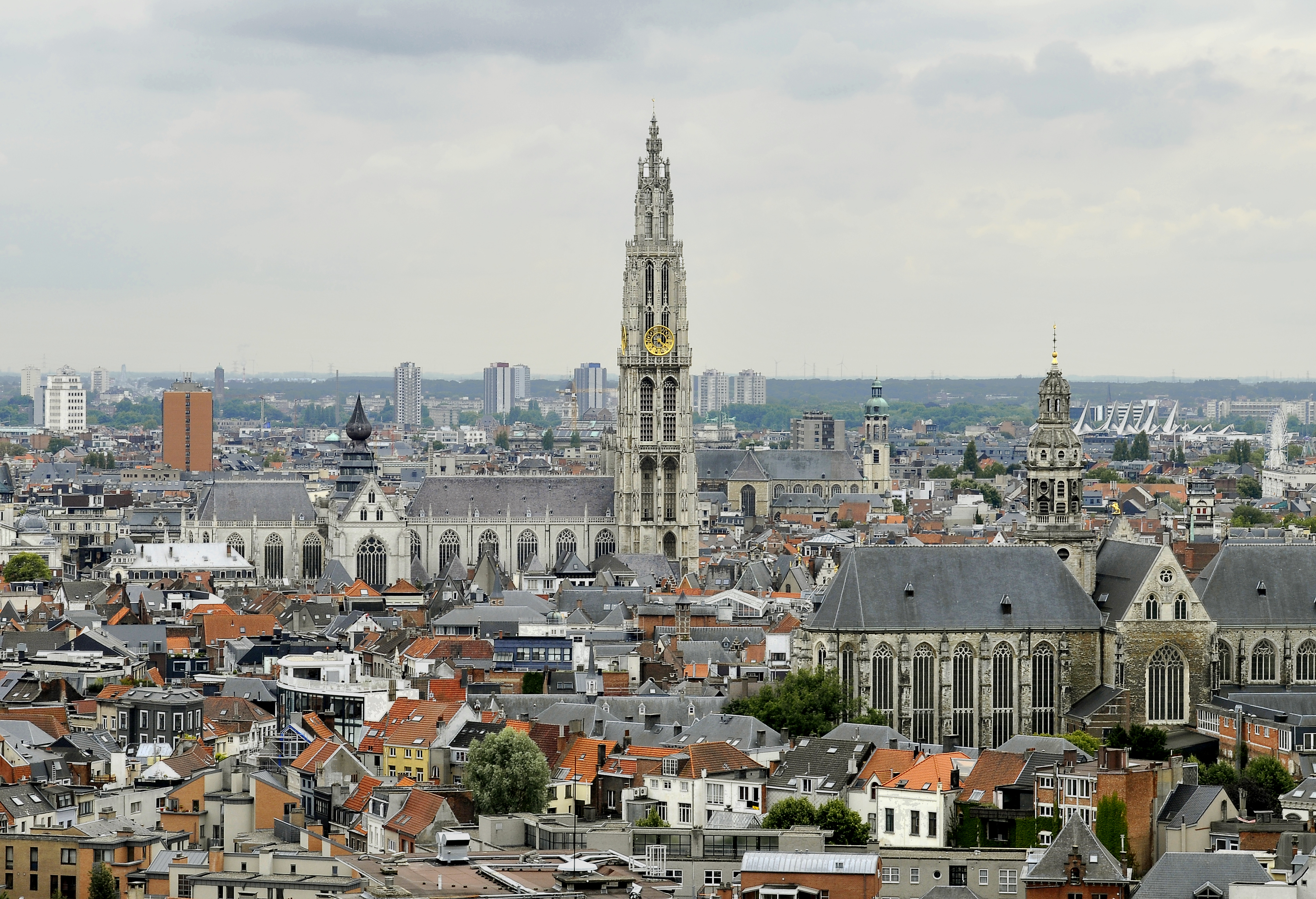
Antwerp (; nl, Antwerpen ; french: Anvers ; es, Amberes) is the largest city in Belgium by area at and the capital of Antwerp Province in the Flemish Region. With a population of 520,504,Statistics Belgium; ''Loop van de bevolking per gemeente'' (Excel file) Population of all municipalities in Belgium, . Retrieved 1 November 2017. it is the most populous municipality in Belgium, and with a metropolitan population of around 1,200,000 people, it is the second-largest metrop ... [...More Info...] [...Related Items...] OR: [Wikipedia] [Google] [Baidu] |
Belgian Railway Line 26
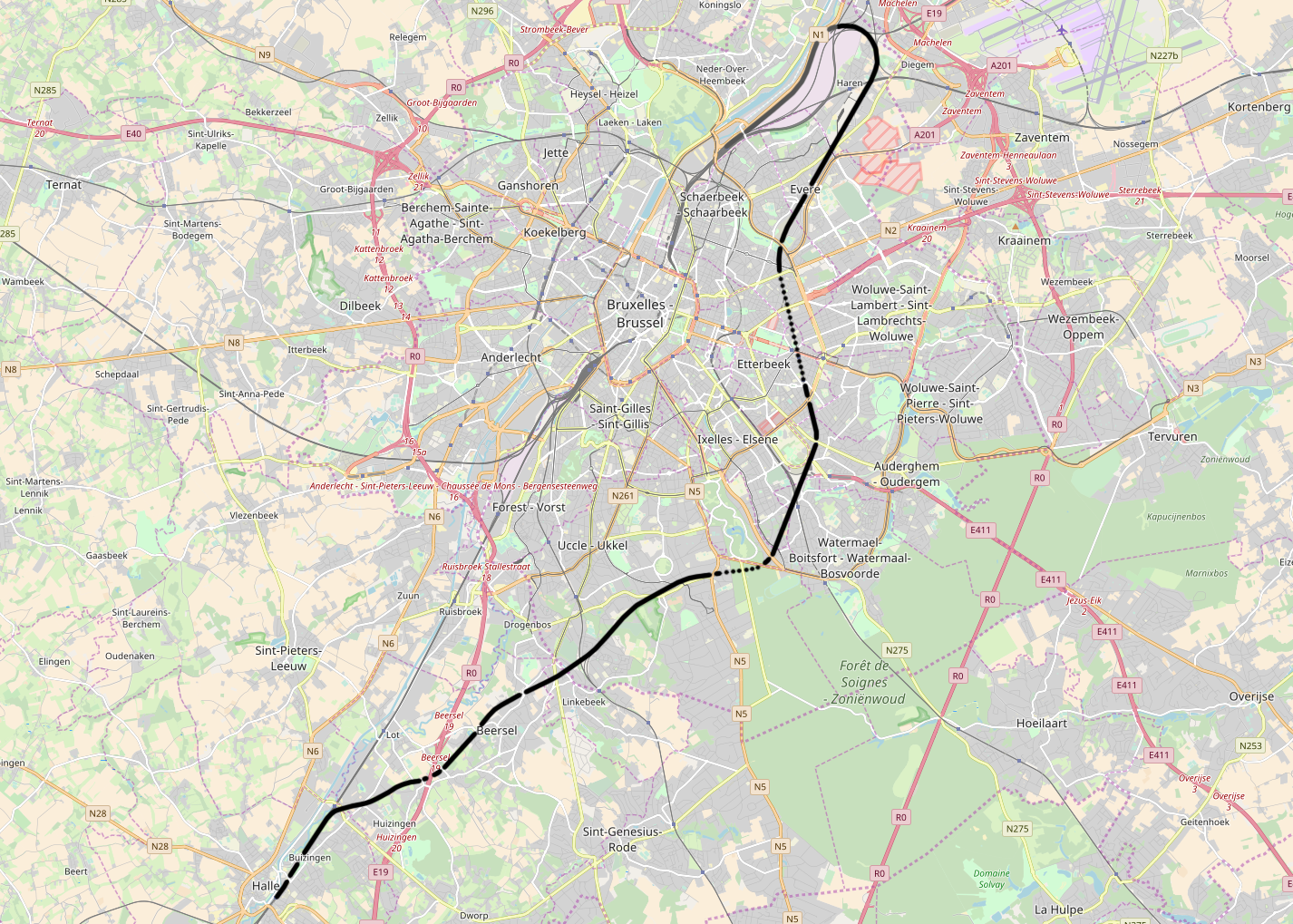
The Belgian railway line 26 is a railway line connecting Brussels to Halle in Belgium. It first opened on July 19, 1926, between Schaarbeek and Watermael railway stations. The line was completed on January 3, 1930. It was conceived as a circumvention of Brussels before the North–South connection existed, which opened only in 1952. Today all passenger trains using the line travel from Vilvoorde on a branch line called 26/1 and not from Schaarbeek, to various destinations South of Brussels. The line carries (parts of) several services of the GEN/RER: S4, S5, S7, S9. Some of these use the Schuman-Josaphat tunnel, which branches off just South of Meiser station. The line serves the following stations: * Schaarbeek * Haren * Bordet * Evere * '' Schaarbeek-Josaphat'' * Meiser * Merode * ''Etterbeek-Cinquantenaire'' * Delta * Boondael * Vivier d’Oie / Diesdelle * Saint-Job * Moensberg * Beersel * Huizingen * Halle Schaarbeek-Josaphat is no longer an operational station ... [...More Info...] [...Related Items...] OR: [Wikipedia] [Google] [Baidu] |
Schuman-Josaphat Tunnel
The Schuman-Josaphat tunnel is a double track rail tunnel in Brussels, which entered into service on 4 April 2016. It links line 161 (Brussels-Namur) just after Meiser station and line 26 (Halle-Vilvoorde) at the Cinquantenaire/Jubelpark tunnel just before Schuman station. The line is numbered L161A. A key component of the Brussels RER project, it passes beneath avenue Plasky/Plaskylaan, place de Jamblinne de Meux/Jamblinne de Meuxplein and the Cortenbergh/Kortenberg road tunnel. The position of the tunnel in the Brussels rail network is shown in the simplified map on the right. Benefits of the project include: * reducing the journey time from the European quarter ( Schuman and Luxembourg stations) to the airport from half an hour to less than 15 minutes by opening a direct route and avoid having to change at Brussels North station * opening a parallel route through Brussels to take pressure off the saturated Brussels North - Brussels South line Project details The proj ... [...More Info...] [...Related Items...] OR: [Wikipedia] [Google] [Baidu] |
Trams In Brussels
The tram (or streetcar) system in Brussels, Belgium is the 16th largest tram system in the world by route length, in 2017 providing 149.1 million journeys (up 9.5% on 2016) over routes 140.6 km in length. In 2018, the Brussels tram system consisted of 18 tram lines (eight of which – lines 3, 4, 7, 25, 32, 51, 55 and 82 – qualified as premetro lines, and five of which - lines 3, 4, 7, 8 and 9 - qualified as "Chrono" or "Fast" lines). Its development has demonstrated many of the quandaries that face local public transport planners. The Brussels tram system also has several interesting peculiarities: the inconsistent route pattern resulting from the closure of the interurban trams, the conflict between low-floor surface trams and high-floor underground trams, and whether the trams run on the right or the left. History Before the First World War Belgium's first horse-drawn trams were introduced in Brussels in 1869, running from the Porte de Namur to the Bois de la Cambre ... [...More Info...] [...Related Items...] OR: [Wikipedia] [Google] [Baidu] |


_Panneau_MAELBEEK.png)

