|
Schluein
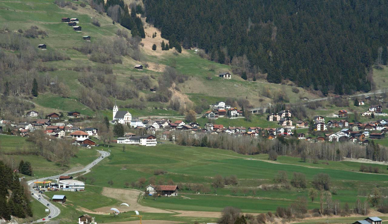
Schluein (; rm, Schleuis) is a municipality in the Surselva Region in the Swiss canton of Graubünden. History Schluein is first mentioned in 831 as ''Falerunae''. In 1298 it was mentioned as ''Sluwen''. Throughout the middle ages until the Act of Mediation, which ended the French controlled Helvetic Republic in 1803, Schluein was under the authority of the Herrschaft of the Löwenberg. The village church is first mentioned in 1321. Geography Schluein has an area, , of . Of this area, 29.9% is used for agricultural purposes, while 55.7% is forested. Of the rest of the land, 7.1% is settled (buildings or roads) and the remainder (7.3%) is non-productive (rivers, glaciers or mountains). Before 2017, the municipality was located in the Ilanz sub-district of the Surselva district on the left flank of the Gruob. It consists of the villages of Schluein, Casanova, and Fallerin. Until 1983 Schluein was known as Schleuis. [...More Info...] [...Related Items...] OR: [Wikipedia] [Google] [Baidu] |
Castrisch
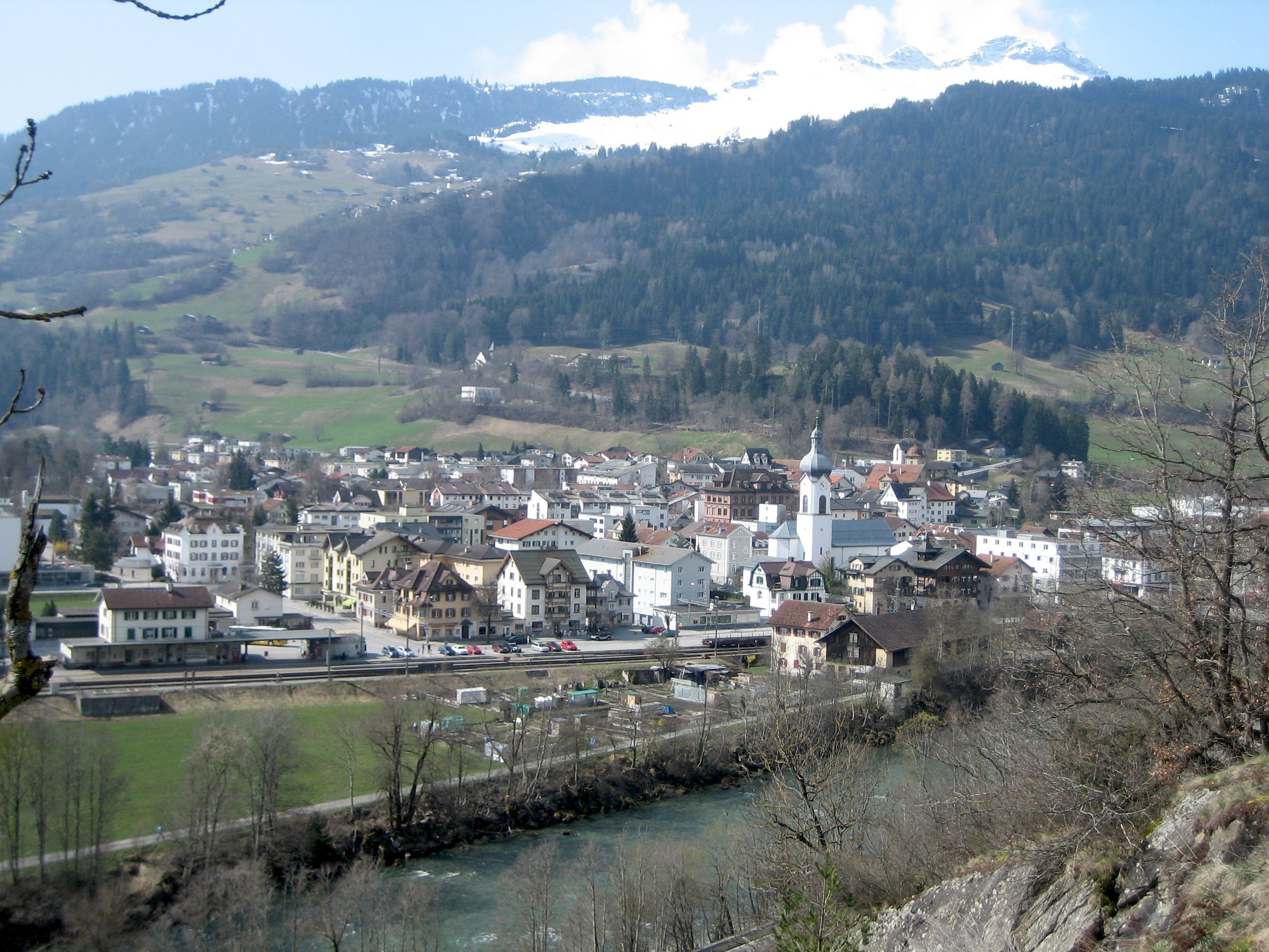
Castrisch () is a former municipality in the district of Surselva in the Swiss canton of Graubünden. Until 1943, it was officially known as Kästris. On 1 January 2014 the former municipalities of Castrisch, Ilanz, Ladir, Luven, Pitasch, Riein, Ruschein, Schnaus, Sevgein, Duvin, Pigniu, Rueun and Siat merged into the new municipality of Ilanz/Glion.Nomenklaturen – Amtliches Gemeindeverzeichnis der Schweiz accessed 13 December 2014 History Castrisch is first mentioned in 765 as ''Castrices''.Geography Before the merger, Castrisch had a total area of . Of this area, 40.8% is used for agricultural purposes, while 51.3% is forested. Of the rest of the land, 3.3% ...[...More Info...] [...Related Items...] OR: [Wikipedia] [Google] [Baidu] |
Sagogn
Sagogn (; german: Sagens) is a municipality in the Surselva Region in the canton of Graubünden in Switzerland. History Sagogn is first mentioned in 765 as ''Secanio''. Geography Sagogn has an area, , of . Of this area, 23.2% is used for agricultural purposes, while 59.7% is forested. Of the rest of the land, 4.7% is settled (buildings or roads) and the remainder (12.4%) is non-productive (rivers, glaciers or mountains). Before 2017, the municipality was located in the Ilanz sub-district of the Surselva district, after 2017 it was part of the Surselva Region. It is on the northern slope above the Vorderrhein on the bank of the Gruob (or Foppa). It consists of the village sections of Innerdorf (Vitg Dadens) and Ausserdorf (Vitg Dado). Until 1943 Sagogn was known by its German name as Sagens. [...More Info...] [...Related Items...] OR: [Wikipedia] [Google] [Baidu] |
Romansh Language
Romansh (; sometimes also spelled Romansch and Rumantsch; Sursilvan: ; Vallader, Surmiran, and Rumantsch Grischun: ; Putèr: ; Sutsilvan: , , ; Jauer: ) is a Gallo-Romance language spoken predominantly in the Swiss canton of the Grisons (Graubünden). Romansh has been recognized as a national language of Switzerland since 1938, and as an official language in correspondence with Romansh-speaking citizens since 1996, along with German, French, and Italian. It also has official status in the canton of the Grisons alongside German and Italian and is used as the medium of instruction in schools in Romansh-speaking areas. It is sometimes grouped by linguists with Ladin and Friulian as the Rhaeto-Romance languages, though this is disputed. Romansh is one of the descendant languages of the spoken Latin language of the Roman Empire, which by the 5th century AD replaced the Celtic and Raetic languages previously spoken in the area. Romansh retains a small number of words fro ... [...More Info...] [...Related Items...] OR: [Wikipedia] [Google] [Baidu] |
Surselva Region
Surselva Region is one of the eleven administrative districts in the canton of Graubünden in Switzerland. It was created on 1 January 2017 as part of a reorganization of the canton.Swiss Federal Statistical Office – Amtliches Gemeindeverzeichnis der Schweiz – Mutationsmeldungen 2016 accessed 16 February 2017 Surselva Region has an area of , with a population of as of .. It corresponds exactly to its predecessor, Surselva District, but the former subdistricts (''Kreise'') of Disentis, Ilanz, Lumnezia/Lugnez, Ruis and Safien have been abandoned. ''Surselva'' ("above the forest") is the name of the valley of ... [...More Info...] [...Related Items...] OR: [Wikipedia] [Google] [Baidu] |
Ruschein
Ruschein (, ) is a former municipality in the district of Surselva in the canton of Graubünden in Switzerland. Its official language is the Sursilvan dialect of Romansh. On 1 January 2014 the former municipalities of Ruschein, Castrisch, Ilanz, Ladir, Luven, Pitasch, Riein, Schnaus, Sevgein, Duvin, Pigniu, Rueun and Siat merged into the new municipality of Ilanz/Glion.Nomenklaturen – Amtliches Gemeindeverzeichnis der Schweiz accessed 13 December 2014 History Ruschein is first mentioned in 765 as ''Rucene''.Geography [...More Info...] [...Related Items...] OR: [Wikipedia] [Google] [Baidu] |
Ilanz
Ilanz ( rm, Glion) is a former municipality in the district of Surselva in the Swiss canton of Graubünden. The former municipality of Ilanz was congruent with the town of Ilanz. On 1 January 1978, the former municipality of Strada merged into the new municipality of Ilanz. On 1 January 2014, the municipality of Ilanz and the surrounding municipalities Castrisch, Ladir, Luven, Pitasch, Riein, Ruschein, Schnaus, Sevgein, Duvin, Pigniu, Rueun and Siat merged into the new municipality of Ilanz/Glion. History Ilanz is first mentioned in 765 as "''Iliande''." Ilanz became the capital of the newly formed Grey League in 1395. The Grey League was the second of the Three Leagues which eventually formed canton Graubünden. Johannes von Ilanz, the Abbot of Disentis, was among the three nobles instrumental in creating this "eternal alliance." Ilanz has a special place in the history of the Protestant Reformation. In the 1520s, the Diet of Ilanz declared that citizens of the Three Leagues s ... [...More Info...] [...Related Items...] OR: [Wikipedia] [Google] [Baidu] |
Ladir
Ladir is a former municipality in the district of Surselva in the Swiss canton of Graubünden. On 1 January 2014 the former municipalities of Ladir, Castrisch, Ilanz, Luven, Pitasch, Riein, Ruschein, Schnaus, Sevgein, Duvin, Pigniu, Rueun and Siat merged into the new municipality of Ilanz/Glion.Nomenklaturen – Amtliches Gemeindeverzeichnis der Schweiz accessed 13 December 2014 History Ladir is first mentioned about 850 as ''Leitura''.Geography Before the merger, Ladir had a total area of . Of this area, 50.3% is used for agricultural purposes, while 42.2% is forested. Of the rest of the land, 2.6% is settled (buildings or roads) and the remainder (4.9%) is non-pr ...[...More Info...] [...Related Items...] OR: [Wikipedia] [Google] [Baidu] |
Falera
Falera is a municipality in the Surselva Region in the Swiss canton of Graubünden. Falera is a part of the ''Alpenarena'' along with the towns of Flims and Laax and is the most secluded of the three. History Falera is a town of rich culture and history. In 1800 B.C., a settlement was started on the Mutta. This came during the Bronze Age and was very significant in the early development of what today is Switzerland. The village is first mentioned in 765 as ''Falariae''. While the first actual mention of a church in Falera was in 840-841. However, the current church was not built until 1491. The church was built on the foot of the Mutta and was named after St. Remigius. Around the church are stone pillars (megaliths or menhirs), arranged geometrically, that are said to date around 1500 B.C. Later, in the year 1903, another church was built. This church was built directly in the village and was named the Herz-Jesu-Kirche or "Heart of Jesus Church" . It, along with the origin ... [...More Info...] [...Related Items...] OR: [Wikipedia] [Google] [Baidu] |
Cantons Of Switzerland
The 26 cantons of Switzerland (german: Kanton; french: canton ; it, cantone; Sursilvan and Surmiran: ; Vallader and Puter: ; Sutsilvan: ; Rumantsch Grischun: ) are the member states of the Swiss Confederation. The nucleus of the Swiss Confederacy in the form of the first three confederate allies used to be referred to as the . Two important periods in the development of the Old Swiss Confederacy are summarized by the terms ('Eight Cantons'; from 1353–1481) and ('Thirteen Cantons', from 1513–1798).rendered "the 'confederacy of eight'" and "the 'Thirteen-Canton Confederation'", respectively, in: Each canton of the Old Swiss Confederacy, formerly also ('lieu/locality', from before 1450), or ('estate', from ), was a fully sovereign state with its own border controls, army, and currency from at least the Treaty of Westphalia (1648) until the establishment of the Swiss federal state in 1848, with a brief period of centralised government during the Helvetic Republic ( ... [...More Info...] [...Related Items...] OR: [Wikipedia] [Google] [Baidu] |
Swiss People's Party
The Swiss People's Party (german: Schweizerische Volkspartei, SVP; rm, Partida populara Svizra, PPS), also known as the Democratic Union of the Centre (french: Union démocratique du centre, UDC; it, Unione Democratica di Centro, UDC), is a national-conservative, right-wing populist political party in Switzerland. Chaired by Marco Chiesa, it is the largest party in the Federal Assembly, with 53 members of the National Council and 6 of the Council of States. The SVP originated in 1971 as a merger of the Party of Farmers, Traders and Independents (BGB) and the Democratic Party, while the BGB, in turn, had been founded in the context of the emerging local farmers' parties in the late 1910s. The SVP initially did not enjoy any increased support beyond that of the BGB, retaining around 11% of the vote through the 1970s and 1980s. This changed however during the 1990s, when the party underwent deep structural and ideological changes under the influence of Christoph Blocher; the SVP ... [...More Info...] [...Related Items...] OR: [Wikipedia] [Google] [Baidu] |


