|
Sagogn
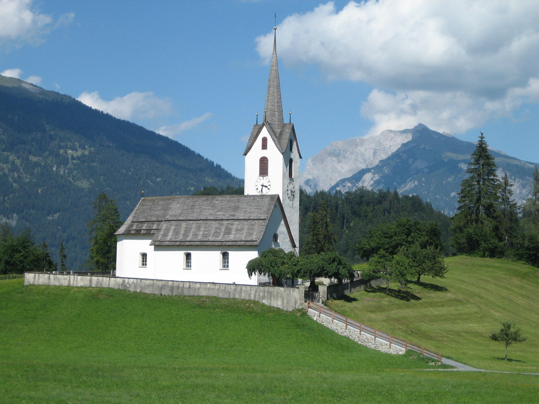
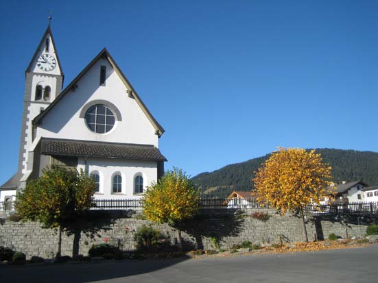
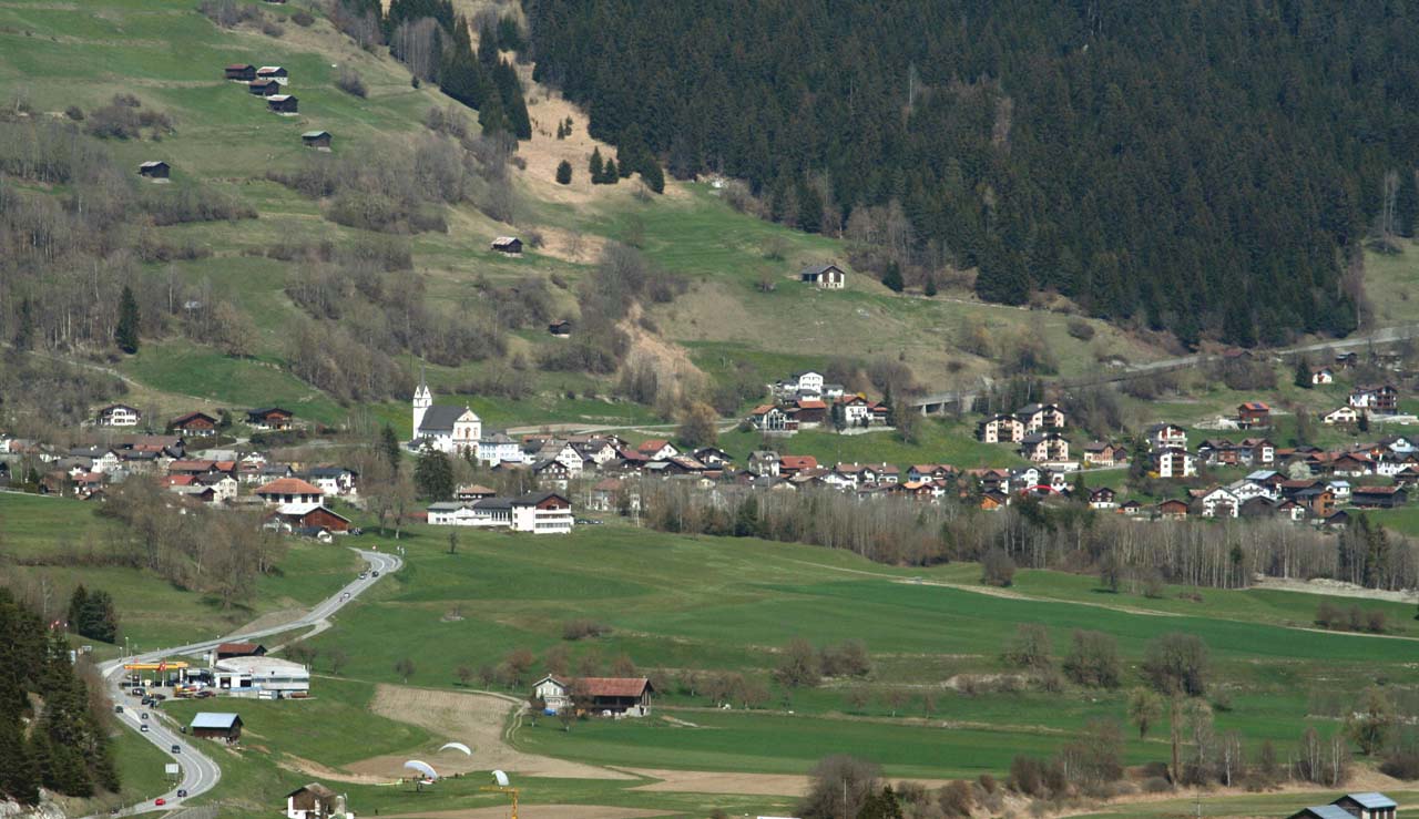
Sagogn (; german: Sagens) is a municipality in the Surselva Region in the canton of Graubünden in Switzerland. History Sagogn is first mentioned in 765 as ''Secanio''. Geography Sagogn has an area, , of . Of this area, 23.2% is used for agricultural purposes, while 59.7% is forested. Of the rest of the land, 4.7% is settled (buildings or roads) and the remainder (12.4%) is non-productive (rivers, glaciers or mountains). Before 2017, the municipality was located in the Ilanz sub-district of the Surselva district, after 2017 it was part of the Surselva Region. It is on the northern slope above the Vorderrhein on the bank of the Gruob (or Foppa). It consists of the village sections of Innerdorf (Vitg Dadens) and Ausserdorf (Vitg Dado). Until 1943 Sagogn was known by its German name as Sagens. [...More Info...] [...Related Items...] OR: [Wikipedia] [Google] [Baidu] |
Valendas
Valendas is a former municipality in the district of Surselva in the canton of Graubünden in Switzerland. The municipalities of Valendas, Versam, Safien and Tenna merged on 1 January 2013 into the new municipality of Safiental.Amtliches Gemeindeverzeichnis der Schweiz published by the Swiss Federal Statistical Office accessed 2 January 2013 History Valendas is first mentioned in 765 as ''in Valendano''.Geography 
[...More Info...] [...Related Items...] OR: [Wikipedia] [Google] [Baidu] |
Schiedberg Castle
Schiedberg Castle is a castle in the municipality of Sagogn of the Canton of Graubünden in Switzerland. It is a Swiss heritage site of national significance. See also * List of castles in Switzerland This list includes castles and fortresses in Switzerland. Entries list the name and location of the castle, fortress or ruins in each Canton in Switzerland. Aargau Appenzell Ausserrhoden Appenzell Innerrhoden Basel-Landschaft, Bas ... References Sagogn Cultural property of national significance in Graubünden Castles in Graubünden {{Switzerland-castle-stub ... [...More Info...] [...Related Items...] OR: [Wikipedia] [Google] [Baidu] |
Romansh Language
Romansh (; sometimes also spelled Romansch and Rumantsch; Sursilvan: ; Vallader, Surmiran, and Rumantsch Grischun: ; Putèr: ; Sutsilvan: , , ; Jauer: ) is a Gallo-Romance language spoken predominantly in the Swiss canton of the Grisons (Graubünden). Romansh has been recognized as a national language of Switzerland since 1938, and as an official language in correspondence with Romansh-speaking citizens since 1996, along with German, French, and Italian. It also has official status in the canton of the Grisons alongside German and Italian and is used as the medium of instruction in schools in Romansh-speaking areas. It is sometimes grouped by linguists with Ladin and Friulian as the Rhaeto-Romance languages, though this is disputed. Romansh is one of the descendant languages of the spoken Latin language of the Roman Empire, which by the 5th century AD replaced the Celtic and Raetic languages previously spoken in the area. Romansh retains a small number of words fro ... [...More Info...] [...Related Items...] OR: [Wikipedia] [Google] [Baidu] |
Castrisch
Castrisch () is a former municipality in the district of Surselva in the Swiss canton of Graubünden. Until 1943, it was officially known as Kästris. On 1 January 2014 the former municipalities of Castrisch, Ilanz, Ladir, Luven, Pitasch, Riein, Ruschein, Schnaus, Sevgein, Duvin, Pigniu, Rueun and Siat merged into the new municipality of Ilanz/Glion.Nomenklaturen – Amtliches Gemeindeverzeichnis der Schweiz accessed 13 December 2014 History Castrisch is first mentioned in 765 as ''Castrices''.Geography Before the merger, Castrisch had a total area of . Of this area, 40.8% is used for agricultural purposes, while 51.3% is forested. Of the rest of the land, 3.3% ...[...More Info...] [...Related Items...] OR: [Wikipedia] [Google] [Baidu] |
Vorderrhein
The Vorderrhein (German; English: ''Anterior Rhine''; Sursilvan: ; Sutsilvan: ''Ragn Anteriur''; Rumantsch Grischun, Vallader, and Puter: ''Rain Anteriur''; Surmiran: ''Ragn anteriour'') is one of the two sources of the Rhine. Its catchment area of is located predominantly in the canton of Graubünden (Switzerland). The Vorderrhein is about long, thus more than 5% longer than the Hinterrhein/Rein Posteriur (each measured to the farthest source). The Vorderrhein, however, has an average water flow of , which is less than the flow of the Hinterrhein. According to the Atlas of Switzerland of the Swiss Federal Office of Topography, the source of the Vorderrhein—and thus of the Rhine—is located north of the Rein da Tuma and Lake Toma. ''Vorderrhein'' was also the name of a judicial district that was created in 1851 with the reorganization of the judiciary of Graubünden. In 2001, it was annexed by the District Surselva. The largest communities along the Vorderrhein are Disenti ... [...More Info...] [...Related Items...] OR: [Wikipedia] [Google] [Baidu] |
Surselva Region
Surselva Region is one of the eleven administrative districts in the canton of Graubünden in Switzerland. It was created on 1 January 2017 as part of a reorganization of the canton.Swiss Federal Statistical Office – Amtliches Gemeindeverzeichnis der Schweiz – Mutationsmeldungen 2016 accessed 16 February 2017 Surselva Region has an area of , with a population of as of .. It corresponds exactly to its predecessor, Surselva District, but the former subdistricts (''Kreise'') of Disentis, Ilanz, Lumnezia/Lugnez, Ruis and Safien have been abandoned. ''Surselva'' ("above the forest") is the name of the valley of ... [...More Info...] [...Related Items...] OR: [Wikipedia] [Google] [Baidu] |
Versam
Versam is a former municipality in the district of Surselva in the canton of Graubünden in Switzerland. The municipalities of Valendas, Versam, Safien and Tenna merged on 1 January 2013 into the new municipality of Safiental.Amtliches Gemeindeverzeichnis der Schweiz published by the Swiss Federal Statistical Office accessed 2 January 2013 History Versam is first mentioned in 1050 as ''a valle Versamia''.Geography  Versam had an area, , of . Of this area, 16.8% is used for agricultural purposes, while 70.6% is forest ...
[...More Info...] [...Related Items...] OR: [Wikipedia] [Google] [Baidu] |
Falera
Falera is a municipality in the Surselva Region in the Swiss canton of Graubünden. Falera is a part of the ''Alpenarena'' along with the towns of Flims and Laax and is the most secluded of the three. History Falera is a town of rich culture and history. In 1800 B.C., a settlement was started on the Mutta. This came during the Bronze Age and was very significant in the early development of what today is Switzerland. The village is first mentioned in 765 as ''Falariae''. While the first actual mention of a church in Falera was in 840-841. However, the current church was not built until 1491. The church was built on the foot of the Mutta and was named after St. Remigius. Around the church are stone pillars (megaliths or menhirs), arranged geometrically, that are said to date around 1500 B.C. Later, in the year 1903, another church was built. This church was built directly in the village and was named the Herz-Jesu-Kirche or "Heart of Jesus Church" . It, along with the origin ... [...More Info...] [...Related Items...] OR: [Wikipedia] [Google] [Baidu] |
Schluein
Schluein (; rm, Schleuis) is a municipality in the Surselva Region in the Swiss canton of Graubünden. History Schluein is first mentioned in 831 as ''Falerunae''. In 1298 it was mentioned as ''Sluwen''. Throughout the middle ages until the Act of Mediation, which ended the French controlled Helvetic Republic in 1803, Schluein was under the authority of the Herrschaft of the Löwenberg. The village church is first mentioned in 1321. Geography Schluein has an area, , of . Of this area, 29.9% is used for agricultural purposes, while 55.7% is forested. Of the rest of the land, 7.1% is settled (buildings or roads) and the remainder (7.3%) is non-productive (rivers, glaciers or mountains). Before 2017, the municipality was located in the Ilanz sub-district of the Surselva district on the left flank of the Gruob. It consists of the villages of Schluein, Casanova, and Fallerin. Until 1983 Schluein was known as Schleuis. [...More Info...] [...Related Items...] OR: [Wikipedia] [Google] [Baidu] |
Laax
Laax ( rm, Lags) is a municipality in the Surselva Region in the Swiss canton of Graubünden. History Laax is first mentioned c. 1290–98 as ''Lags''. Geography Laax has an area, , of . Of this area, 35.8% is used for agricultural purposes, while 30.6% is forested. Of the rest of the land, 3.6% is settled (buildings or roads) and the remainder (29.9%) is non-productive (rivers, glaciers or mountains). Before 2017, the municipality was located in the Ilanz sub-district of the Surselva district, after 2017 it was part of the Surselva Region. accessed 16 February 2017 The municipality of Laax stretches from the village it ... [...More Info...] [...Related Items...] OR: [Wikipedia] [Google] [Baidu] |
Flims
Flims ( rm, Flem) is a municipality in the Imboden Region in the Swiss canton of Graubünden. The town of Flims is dominated by the Flimserstein which one can see from almost anywhere in the area. Flims consists of the village of Flims (called Flims Dorf) and the hamlets of Fidaz and Scheia as well as Flims-Waldhaus, the initial birthplace of tourism in Flims, where most of the hotels were built before and after around 1900. Geography Flims has an area of . Of this area, 33.7% is used for agricultural purposes, while 28.9% is forested. Of the rest of the land, 3.6% is settled (buildings or roads) and the remainder (33.9%) is non-productive (rivers, glaciers or mountains). Before 2017, the municipality was located in the Trin sub-district, of the Imboden district, after 2017 it was part of the Imboden Region. Flims is located on a terrace north of the Rhine valley, forming the Ruinaulta gorge here. The country-side has numerous streams and lakes north of the village, from ... [...More Info...] [...Related Items...] OR: [Wikipedia] [Google] [Baidu] |


