|
Saskatchewan Highway 41
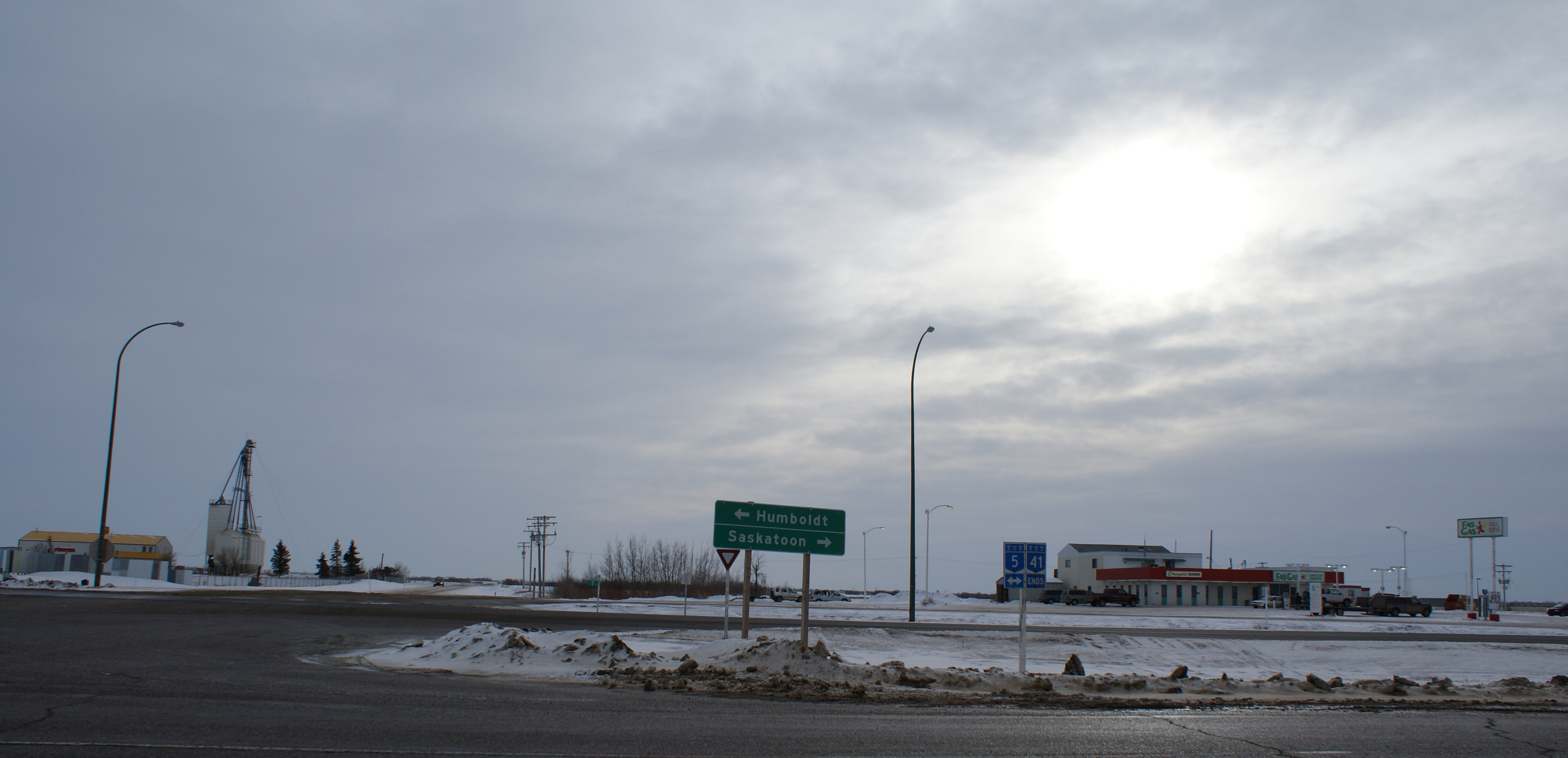
Highway 41 is a highway in the Canadian province of Saskatchewan. It runs from Highway 5 in Saskatoon to Highway 3/Highway 6 in Melfort. Highway 41 is about long. Highway 41 also intersects Highway 2. Also along the route, it passes near the communities of Aberdeen and Wakaw. Route description Communities The town of Aberdeen, population 550 is located about north east of Saskatoon. Aberdeen incorporated as a village in 1907. The small hamlet of Edenburg is northeast of Aberdeen. The village of Alvena has a population of about 55 residents. According to the 2006 census the One Arrow 95-1C Indian Reserve had a population of zero living on their land allotment. Wakaw is a town which began with the establishment of the Presbyterian Geneva Mission in 1903. In 1992, a memorial was erected in recognition of the Anna Turnbull Memorial Hospital and the Geneva Mission. Melfort, the ''City of Northern Lights'' is located in the Carrot River valley. The city was first name ... [...More Info...] [...Related Items...] OR: [Wikipedia] [Google] [Baidu] |
Ministry Of Highways And Infrastructure (Saskatchewan)
The Ministry of Highways is divided into the Operations, Policy and Programs, and Corporate Services Divisions and the Communications Branch. The ministry is the employer of over 1,476 employees diversified amongst 105 communities in Saskatchewan. The current Minister of Highways and Infrastructure is Fred Bradshaw. Operations Division The Operation Division has the responsibility of maintaining of asphalt concrete pavements, of granular pavements, of thin membrane surface (TMS) highways, of gravel highways, of ice roads, bridges, large culverts, 12 ferries, one barge and 17 northern airports. Operational maintenance includes surface repair activities like crack filling, sealing, and patching; snow and ice control; pavement marking; signing; and ferry operations. Along with engineering, construction and design of the provincial road network, the operations division provides regulations, inspections and advice to the rural municipalities (R.M.) for the municipal r ... [...More Info...] [...Related Items...] OR: [Wikipedia] [Google] [Baidu] |
Saskatchewan
Saskatchewan ( ; ) is a Provinces and territories of Canada, province in Western Canada, western Canada, bordered on the west by Alberta, on the north by the Northwest Territories, on the east by Manitoba, to the northeast by Nunavut, and on the south by the United States, U.S. states of Montana and North Dakota. Saskatchewan and Alberta are the only landlocked provinces of Canada. In 2022, Saskatchewan's population was estimated at 1,205,119. Nearly 10% of Saskatchewan’s total area of is fresh water, mostly rivers, reservoirs and List of lakes in Saskatchewan, lakes. Residents primarily live in the southern prairie half of the province, while the northern half is mostly forested and sparsely populated. Roughly half live in the province's largest city Saskatoon or the provincial capital Regina, Saskatchewan, Regina. Other notable cities include Prince Albert, Saskatchewan, Prince Albert, Moose Jaw, Yorkton, Swift Current, North Battleford, Melfort, Saskatchewan, Melfort, and ... [...More Info...] [...Related Items...] OR: [Wikipedia] [Google] [Baidu] |
Town
A town is a human settlement. Towns are generally larger than villages and smaller than cities, though the criteria to distinguish between them vary considerably in different parts of the world. Origin and use The word "town" shares an origin with the German word , the Dutch word , and the Old Norse . The original Proto-Germanic word, *''tūnan'', is thought to be an early borrowing from Proto-Celtic *''dūnom'' (cf. Old Irish , Welsh ). The original sense of the word in both Germanic and Celtic was that of a fortress or an enclosure. Cognates of ''town'' in many modern Germanic languages designate a fence or a hedge. In English and Dutch, the meaning of the word took on the sense of the space which these fences enclosed, and through which a track must run. In England, a town was a small community that could not afford or was not allowed to build walls or other larger fortifications, and built a palisade or stockade instead. In the Netherlands, this space was a garden, mor ... [...More Info...] [...Related Items...] OR: [Wikipedia] [Google] [Baidu] |
Carrot River (Saskatchewan)
The Carrot River is a river in north-eastern Saskatchewan, and north-western Manitoba. Its headwaters originate in the Cudworth and Tiger Hill Plains near the Town of Wakaw. The outlet of Wakaw Lake marks the beginning of the Carrot River and, from there, this river flows northeast through the Melfort and Red Earth Plains until it joins into the Saskatchewan River west of The Pas, Manitoba. The Carrot River is about 300 km in length and it parallels the course of the South Saskatchewan and Saskatchewan Rivers. The Carrot River serves as the main watershed for north-eastern Saskatchewan as all smaller streams and rivers empty into the Carrot River. This causes major flood problems during the spring run off and rainy seasons around the Town of Carrot River and Red Earth Indian Reserve. The floods usually strand everyone east of the river with very few ways around the flooded area. Another Carrot River enters Oxford Lake on the Hayes River. History The Carrot River va ... [...More Info...] [...Related Items...] OR: [Wikipedia] [Google] [Baidu] |
One Arrow First Nation
One Arrow First Nation ( cr, ᑳ ᐯᔭᒁᐢᑯᓇᒼ ''kâ-pêyakwâskonam'') is a Cree First Nations band government in Bellevue, Saskatchewan, Canada. Its main reserve is located just south of Batoche near the South Saskatchewan River about 100 km North-east of Saskatoon. The One Arrow First Nation's reserve is in the aspen parkland biome. It is bordered by the Rural Municipalities of St. Louis No. 431, Fish Creek No. 402, and Duck Lake No. 463. Named after Chief One Arrow, a signatory to Treaty Six at Fort Carlton in 1876, the band had land disputes with the Métis of Batoche in the 1880s, and their supposed role in the North-West Rebellion is quite controversial. Chief One Arrow himself claimed they were coerced into participating alongside Louis Riel, while the Métis claim they were allied. Currently Chief Tricia Gamble presides over the band government. It is the birthplace of singer, songwriter, actor and humanitarian/entrepreneur Tom Jackson. Communities n ... [...More Info...] [...Related Items...] OR: [Wikipedia] [Google] [Baidu] |
Village
A village is a clustered human settlement or community, larger than a hamlet but smaller than a town (although the word is often used to describe both hamlets and smaller towns), with a population typically ranging from a few hundred to a few thousand. Though villages are often located in rural areas, the term urban village is also applied to certain urban neighborhoods. Villages are normally permanent, with fixed dwellings; however, transient villages can occur. Further, the dwellings of a village are fairly close to one another, not scattered broadly over the landscape, as a dispersed settlement. In the past, villages were a usual form of community for societies that practice subsistence agriculture, and also for some non-agricultural societies. In Great Britain, a hamlet earned the right to be called a village when it built a church. [...More Info...] [...Related Items...] OR: [Wikipedia] [Google] [Baidu] |
Edenburg, Saskatchewan
Edenburg is an unincorporated community located 4 miles northwest of the town of Aberdeen, Saskatchewan in Canada. Edenburg has a population of 30, and is a mixed use residential/agricultural area. History Edenburg is a living example of the settlement preferences of the Mennonites, originally from northern Germany (Prussia) who emigrated to Canada via Russia. Although governmental policy of the day required the farmers to take up residence on their own homestead quarter (a portion of land 1/2 mile square), the Mennonites preferred and sometimes were given governmental exemption to live in communities similar to those they had left in Europe. Thus, Edenburg and many other such communities sprang up with narrow frontages on the roadway, yet had their back boundaries set rather far from the edge of the road. The effect is similar to the river lots favoured in Quebec, and by the Saskatchewan Métis people. In 1902, just as the Canadian Northern Railways was constructed past Aber ... [...More Info...] [...Related Items...] OR: [Wikipedia] [Google] [Baidu] |
Hamlet (place)
A hamlet is a human settlement that is smaller than a town or village. Its size relative to a Parish (administrative division), parish can depend on the administration and region. A hamlet may be considered to be a smaller settlement or subdivision or satellite entity to a larger settlement. The word and concept of a hamlet has roots in the Anglo-Norman settlement of England, where the old French ' came to apply to small human settlements. Etymology The word comes from Anglo-Norman language, Anglo-Norman ', corresponding to Old French ', the diminutive of Old French ' meaning a little village. This, in turn, is a diminutive of Old French ', possibly borrowed from (West Germanic languages, West Germanic) Franconian languages. Compare with modern French ', Dutch language, Dutch ', Frisian languages, Frisian ', German ', Old English ' and Modern English ''home''. By country Afghanistan In Afghanistan, the counterpart of the hamlet is the Qila, qala (Dari language, Dari: ... [...More Info...] [...Related Items...] OR: [Wikipedia] [Google] [Baidu] |
Saskatchewan Highway 41
Highway 41 is a highway in the Canadian province of Saskatchewan. It runs from Highway 5 in Saskatoon to Highway 3/Highway 6 in Melfort. Highway 41 is about long. Highway 41 also intersects Highway 2. Also along the route, it passes near the communities of Aberdeen and Wakaw. Route description Communities The town of Aberdeen, population 550 is located about north east of Saskatoon. Aberdeen incorporated as a village in 1907. The small hamlet of Edenburg is northeast of Aberdeen. The village of Alvena has a population of about 55 residents. According to the 2006 census the One Arrow 95-1C Indian Reserve had a population of zero living on their land allotment. Wakaw is a town which began with the establishment of the Presbyterian Geneva Mission in 1903. In 1992, a memorial was erected in recognition of the Anna Turnbull Memorial Hospital and the Geneva Mission. Melfort, the ''City of Northern Lights'' is located in the Carrot River valley. The city was first name ... [...More Info...] [...Related Items...] OR: [Wikipedia] [Google] [Baidu] |
Wakaw, Saskatchewan
Wakaw, Saskatchewan, is a town 90 km (56 miles) northeast of Saskatoon and 66 km (41 miles) south of Prince Albert. It is about halfway between the two cities and is served by Highway 2, Highway 41 and Highway 312. Wakaw is in hilly partially forested country east of the South Saskatchewan River. The area is part of the aspen parkland biome. Wakaw is about 11 miles north of the town of Cudworth. Wakaw is a Cree word meaning "crooked". The name was taken from nearby Wakaw Lake and applied to the town. History The area was peopled primarily by settlers of Eastern European origin. The town was home to Prime Minister John Diefenbaker and his first wife Edna Brower. Diefenbaker opened his first law office in Wakaw from 1919 to 1925. Wakaw was founded on December 26, 1911 after 21 residents petitioned the Department of Municipal Affairs, asking for the incorporation of the Village of Wakaw. It was located on Section 30, Township 42, Range 26, west of the 2nd Meridian, ... [...More Info...] [...Related Items...] OR: [Wikipedia] [Google] [Baidu] |
Saskatchewan Highway 2
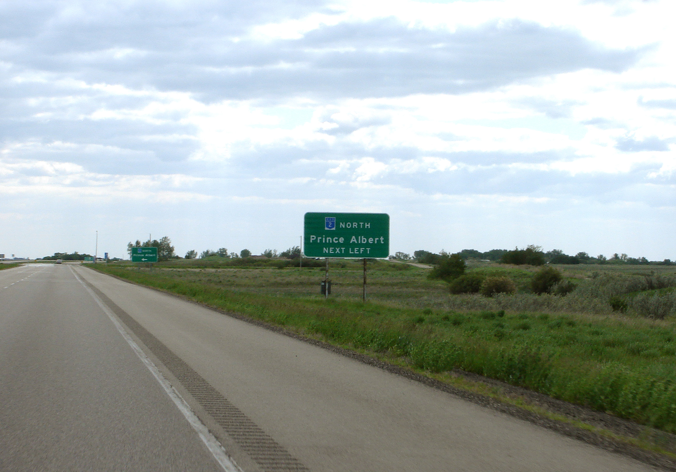
Highway 2 is a provincial highway in the Canadian province of Saskatchewan. It is the longest highway in Saskatchewan at 809 km (503 mi). The highway is partially divided and undivided. However, only about near Moose Jaw, near Chamberlain, and near Prince Albert are divided highway. Highway 2 is a major north-south route beginning at the Canada–US border at the Port of West Poplar River and Opheim, Montana customs checkpoints. Montana Highway 24 continues south. It passes through the major cities of Moose Jaw in the south and Prince Albert in the north. Highway 2 overlaps Highway 11 between the towns of Chamberlain and Findlater. This section of road is a wrong-way concurrency. The highway ends at La Ronge, where it becomes Highway 102. The highway started as a graded road in the 1920s which followed the grid lines of the early survey system and was maintained by early homesteaders of each rural municipality. Paving projects of the 1950s created all weather ... [...More Info...] [...Related Items...] OR: [Wikipedia] [Google] [Baidu] |


.jpg)


