|
Santa Marta Montane Forests
The Santa Marta montane forests (NT0159) is an ecoregion in the Sierra Nevada de Santa Marta, a massif on the Caribbean coast of northern Colombia. The ecoregion covers altitudes from near sea level up to around , where it gives way to Santa Marta páramo. The isolation of the massif and the range of elevations and climates has resulted in a wide variety of species including many endemics. The lower levels contained tropical rainforest, which has largely been cleared. Higher up, this gives way to cloud forest. Much of this has also been cleared for coffee plantations, pasture for sheep and cattle, and farming. Geography Location The ecoregion covers the slopes of the Sierra Nevada de Santa Marta in the north of Colombia, with an area of . The range rises to snow-covered peaks only from the Caribbean sea. The ecoregion is almost entirely surrounded by the Sinú Valley dry forests ecoregion. To the northeast and northwest it transitions directly into Guajira–Barranquilla xer ... [...More Info...] [...Related Items...] OR: [Wikipedia] [Google] [Baidu] |
Neotropical Realm
The Neotropical realm is one of the eight biogeographic realms constituting Earth's land surface. Physically, it includes the tropical terrestrial ecoregions of the Americas and the entire South American temperate zone. Definition In biogeography, the Neotropic or Neotropical realm is one of the eight terrestrial realms. This realm includes South America, Central America, the Caribbean islands, and southern North America. In Mexico, the Yucatán Peninsula and southern lowlands, and most of the east and west coastlines, including the southern tip of the Baja California Peninsula are Neotropical. In the United States southern Florida and coastal Central Florida are considered Neotropical. The realm also includes temperate southern South America. In contrast, the Neotropical Floristic Kingdom excludes southernmost South America, which instead is placed in the Antarctic kingdom. The Neotropic is delimited by similarities in fauna or flora. Its fauna and flora are distinct ... [...More Info...] [...Related Items...] OR: [Wikipedia] [Google] [Baidu] |
Diorite
Diorite ( ) is an intrusive igneous rock formed by the slow cooling underground of magma (molten rock) that has a moderate content of silica and a relatively low content of alkali metals. It is intermediate in composition between low-silica (mafic) gabbro and high-silica ( felsic) granite. Diorite is found in mountain-building belts (''orogens'') on the margins of continents. It has the same composition as the fine-grained volcanic rock, andesite, which is also common in orogens. Diorite has been used since prehistoric times as decorative stone. It was used by the Akkadian Empire of Sargon of Akkad for funerary sculptures, and by many later civilizations for sculptures and building stone. Description Diorite is an intrusive igneous rock composed principally of the silicate minerals plagioclase feldspar (typically andesine), biotite, hornblende, and sometimes pyroxene. The chemical composition of diorite is intermediate, between that of mafic gabbro and felsic grani ... [...More Info...] [...Related Items...] OR: [Wikipedia] [Google] [Baidu] |
Cauca Valley Montane Forests
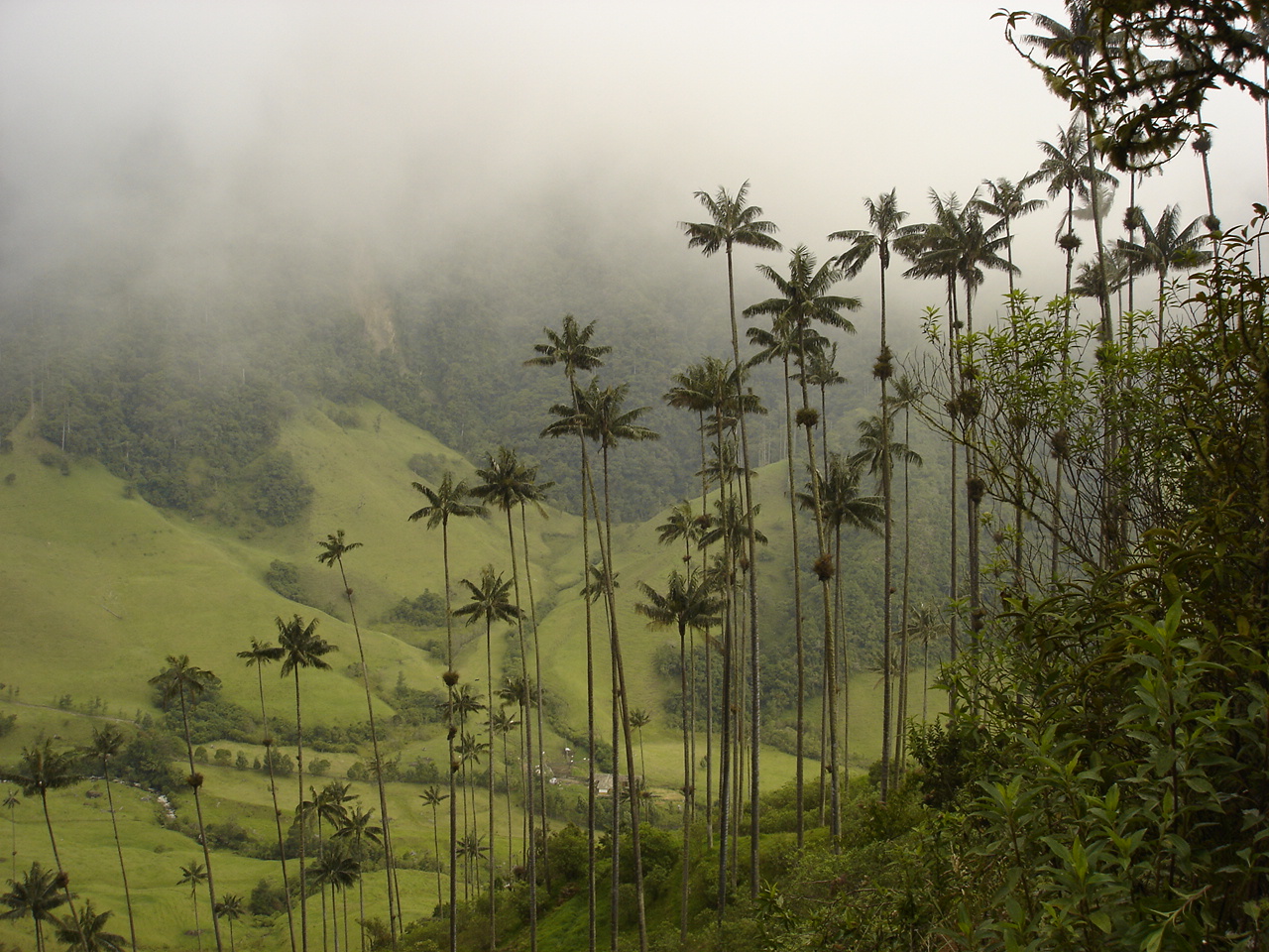
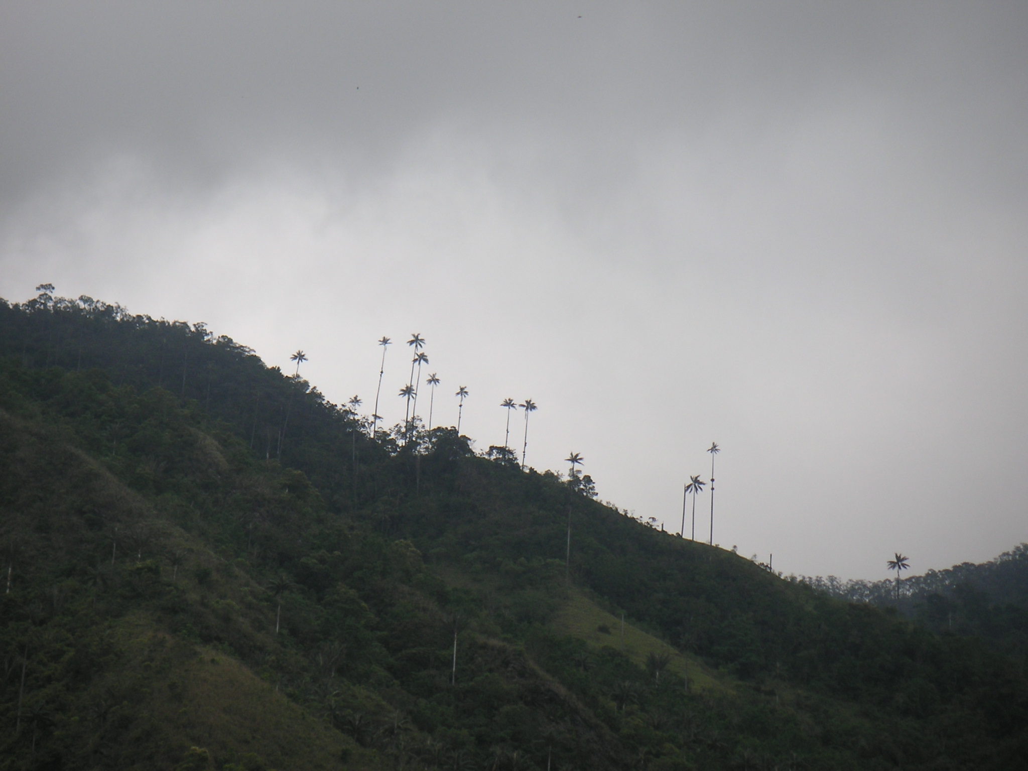
The Cauca Valley montane forests (NT0109) is an ecoregion in western Colombia. It covers the sides of the Cauca Valley, which runs from south to north between the Central and Western Ranges (''cordilleras'') of the Colombian Andes. The ecoregion is home to very diverse fauna and flora, due in part to its varied elevations and climates, in part to its position near the isthmus of Panama, the route along which North American species invaded South America and then diversified as they moved to the upper parts of the Andes. Little of the original habitat remains at lower levels, but higher up there are sizeable blocks of forest, some of which are protected. Geography Location The Cauca Valley runs from south to north between the Cordillera Central and Cordillera Occidental of the Colombian Andes. It has an area of . The ecoregion covers both sides of the Cauca River valley, above the narrow strip of Cauca Valley dry forests that runs along the river. On the highest land of the co ... [...More Info...] [...Related Items...] OR: [Wikipedia] [Google] [Baidu] |
Northwestern Andean Montane Forests
The Northwestern Andean montane forests (NT0145) is an ecoregion on the Andes mountains in the west of Colombia and Ecuador. Both flora and fauna are highly diverse due to effect of ice ages when the warmer climate zones were separated and the cooler ones combined, and interglacial periods when the reverse occurred. Because the environment is hospitable to humans, the habitat has been drastically modified by farming and grazing since the Pre-Columbian era. Geography Location The Northwestern Andean montane forests ecoregion extends along the Cordillera Occidental (Western Range) of the Andes in Colombia and the Cordillera Occidental of Ecuador. It covers an area of . In the extreme north the ecoregion merges into the Magdalena–Urabá moist forests ecoregion. Through most of its length in Colombia it transitions on the west into the Chocó–Darién moist forests and on the east into the Cauca Valley montane forests. The higher levels of the ecoregion give way to Northern An ... [...More Info...] [...Related Items...] OR: [Wikipedia] [Google] [Baidu] |
Venezuelan Andes Montane Forests
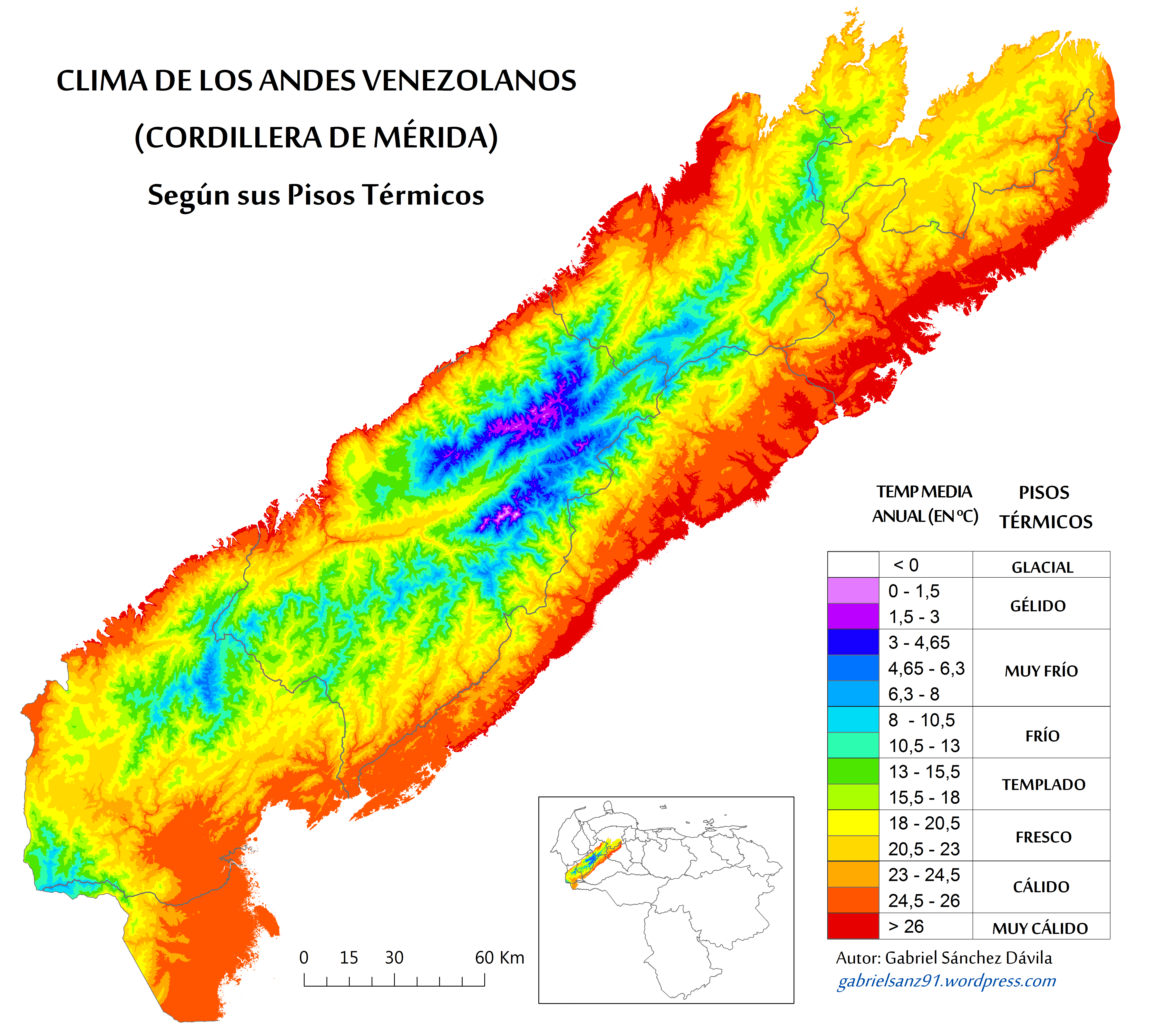
The Venezuelan Andes montane forests (NT0175) is an ecoregion in the northern arm of the Andes in Venezuela. It contains montane and cloud forests, reaching up to the high-level Cordillera de Merida páramo high moor ecoregion. The forests are home to many endemic species of flora and fauna. Their lower levels are threatened by migrant farmers, who clear patches of forest to grow crops, then move on. Geography Location The Venezuelan Andes montane forests ecoregion covers most of the Venezuelan states of Mérida and Trujillo, much the state of Táchira and the highlands of the states of Lara and Barinas. It includes a small area in Colombia. It covers the lower part of the Venezuelan extension of the Cordillera Occidental of the northern Andes. It has an area of . To the southeast it adjoins the Llanos and the Apure–Villavicencio dry forests, and to the southwest adjoins the Cordillera Oriental montane forests. To the northwest it adjoins the Catatumbo moist forests and the Ma ... [...More Info...] [...Related Items...] OR: [Wikipedia] [Google] [Baidu] |
Magdalena Valley Montane Forests
The Magdalena Valley montane forests (NT0136) is an ecoregion in the Andes mountains of central Colombia. Geography Location The ecoregion covers the higher land on both sides of the valley of the Magdalena River in the Colombian Andes. The river flows north between the Eastern Ranges to the east and the Central Ranges to the west, down to the Caribbean lowlands. It has an area of about . The ecoregion encloses the Magdalena Valley dry forests ecoregion which in turn contains the upper Magdalena River, and the Magdalena–Urabá moist forests ecoregion which contains the lower Magdalena River and extends across the lowlands north of the Magdalena Valley montane forests ecoregion. Sections of Northern Andean páramo cover the highest land beside and within the ecoregion. To the west, the ecoregion merges into the Cauca Valley montane forests on the other side of the Cordillera Central, and to the east it merges into the Cordillera Oriental montane forests. In the far south the e ... [...More Info...] [...Related Items...] OR: [Wikipedia] [Google] [Baidu] |
Heliconiinae
The Heliconiinae, commonly called heliconians or longwings, are a subfamily of the brush-footed butterflies (family Nymphalidae). They can be divided into 45–50 genera and were sometimes treated as a separate family Heliconiidae within the Papilionoidea. The colouration is predominantly reddish and black, and though of varying wing shape, the forewings are always elongated tipwards, hence the common name. Most longwings are found in the Tropics, particularly in South America; only the Argynnini are quite diverse in the Holarctic. Especially tropical species feed on poisonous plants, characteristically Passifloraceae vines, as larvae, becoming poisonous themselves. The adult butterflies announce their acquired toxicity with strong aposematic colours, warning off would-be predators. There are several famous cases of Batesian and Müllerian mimicry both within this group and with other butterflies. Other commonly seen food plants are Fabaceae (which also contain several toxic spe ... [...More Info...] [...Related Items...] OR: [Wikipedia] [Google] [Baidu] |
Ithomiinae
Ithomiini is a butterfly tribe in the nymphalid subfamily Danainae. It is sometimes referred to as the tribe of clearwing butterflies or glasswing butterflies. Some authors consider the group to be a subfamily (Ithomiinae). These butterflies are exclusively Neotropical, found in humid forests from sea level to 3000 m, from Mexico to Argentina. There are around 370 species in some 40–45 genera. Ithomiini biology Ithomiines are unpalatable because their adults seek out and sequester pyrrolizidine alkaloids from plants that they visit, especially composite flowers (Asteraceae) and wilted borages (Boraginaceae). The slow-flying adults are Müllerian mimics of each other as well as of many other Lepidoptera. Henry Walter Bates referred to a "transparency group" of Amazon butterfly species. It was originally with seven species belonging to six different genera. Reginald Punnett suggested 28 species of this peculiar facies are known, though some are excessively rare. The major ... [...More Info...] [...Related Items...] OR: [Wikipedia] [Google] [Baidu] |
Cordillera Oriental Montane Forests
The Cordillera Oriental montane forests (NT0118) is an ecoregion in Venezuela and Colombia along the east slopes of the eastern cordillera of the Andes. The extensive region of submontane and montane forests includes distinctive flora and fauna in the north, center and southern sections. The ecoregion is home to numerous endemic species of fauna. Despite extensive changes due to logging, farming and ranching, large areas of the original habitat remain intact, and the ecoregion has rich biodiversity. Geography Location The Cordillera Oriental montane forests ecoregion extends along eastern slopes of the Cordillera Oriental of the Colombian Andes, mostly in Colombia but in the northwest of Venezuela to the west of Lake Maracaibo. It has an area of . At the northern end of the cordillera the ecoregion gives way to Guajira–Barranquilla xeric scrub. To the east, from north it south it adjoins the Maracaibo dry forests, Catatumbo moist forests, Venezuelan Andes montane forests, A ... [...More Info...] [...Related Items...] OR: [Wikipedia] [Google] [Baidu] |
Serranía Del Perijá
The Serranía del Perijá, Cordillera de Perijá or Sierra de Perijá is a mountain range, an extension of the eastern Andean branch ( Cordillera Oriental), in northern South America, between Colombia and Venezuela Venezuela (; ), officially the Bolivarian Republic of Venezuela ( es, link=no, República Bolivariana de Venezuela), is a country on the northern coast of South America, consisting of a continental landmass and many islands and islets in th ..., ending further north in the Guajira Desert, a total distance of about . It separates the Maracaibo Basin from the Cesar-Ranchería Basin. Some of the area has been considered as a Flora and Fauna Sanctuary. Geography Starting at the southernmost point, near Ocaña, Colombia, this mountain range forms the boundary between the Colombian departments of Norte de Santander Department, Norte de Santander and Cesar Department, Cesar, and then as the range progresses north, it forms the international boundary between Venezu ... [...More Info...] [...Related Items...] OR: [Wikipedia] [Google] [Baidu] |
Tropical And Subtropical Moist Broadleaf Forests
Tropical and subtropical moist broadleaf forests (TSMF), also known as tropical moist forest, is a subtropical and tropical forest habitat type defined by the World Wide Fund for Nature. Description TSMF is generally found in large, discontinuous patches centered on the equatorial belt and between the Tropic of Cancer and Tropic of Capricorn, TSMF are characterized by low variability in annual temperature and high levels of rainfall of more than annually. Forest composition is dominated by evergreen and semi-deciduous tree species. These trees number in the thousands and contribute to the highest levels of species diversity in any terrestrial major habitat type. In general, biodiversity is highest in the forest canopy. The canopy can be divided into five layers: overstory canopy with emergent crowns, a medium layer of canopy, lower canopy, shrub level, and finally understory. These forests are home to more species than any other terrestrial ecosystem: Half of the world's sp ... [...More Info...] [...Related Items...] OR: [Wikipedia] [Google] [Baidu] |
Köppen Climate Classification
The Köppen climate classification is one of the most widely used climate classification systems. It was first published by German-Russian climatologist Wladimir Köppen (1846–1940) in 1884, with several later modifications by Köppen, notably in 1918 and 1936. Later, the climatologist Rudolf Geiger (1894–1981) introduced some changes to the classification system, which is thus sometimes called the Köppen–Geiger climate classification system. The Köppen climate classification divides climates into five main climate groups, with each group being divided based on seasonal precipitation and temperature patterns. The five main groups are ''A'' (tropical), ''B'' (arid), ''C'' (temperate), ''D'' (continental), and ''E'' (polar). Each group and subgroup is represented by a letter. All climates are assigned a main group (the first letter). All climates except for those in the ''E'' group are assigned a seasonal precipitation subgroup (the second letter). For example, ''Af'' indi ... [...More Info...] [...Related Items...] OR: [Wikipedia] [Google] [Baidu] |


