|
Sand Hill (Calaveras County)
Sand Hill, Sandhill, Sand Hills, or Sandhills may refer to: Settlements United States *Sand Hill, Oakley, California, a former unincorporated community *Sand Hill, Georgia, an unincorporated community *Sand Hill, Kentucky (other), several places *Sand Hill, Attala County, Mississippi, a ghost town *Sand Hill, Copiah County, Mississippi, an unincorporated community *Sand Hill, Greene County, Mississippi, an unincorporated community *Sand Hill, Jones County, Mississippi, an unincorporated community *Sand Hill, Rankin County, Mississippi, an unincorporated community *Sand Hill, Missouri, an unincorporated community *Sand Hill, Pennsylvania, a census-designated place *Sand Hill, Marshall County, West Virginia, an unincorporated community *Sand Hill, Wood County, West Virginia, an unincorporated community Other places *Sandhill, Belize, a village in the Belize District Regions in the United States *Sandhills (Carolina), a strip of ancient beach dunes in North and South Caroli ... [...More Info...] [...Related Items...] OR: [Wikipedia] [Google] [Baidu] |
Sand Hill, Oakley, California
Sand Hill is a former unincorporated area, unincorporated community now annexed to Oakley, California, Oakley in Contra Costa County, California, Contra Costa County, California. It lies at an elevation of 43 feet (13 m). It is west of Knightsen, California, Knightsten on the far edge of the county. References * Neighborhoods in Contra Costa County, California {{ContraCostaCountyCA-geo-stub ... [...More Info...] [...Related Items...] OR: [Wikipedia] [Google] [Baidu] |
Monahans Sandhills State Park
The Monahans Sandhills State Park is a state park located in the southern Llano Estacado in Ward County and Winkler County, Texas. The closest major town is Monahans, Texas, and the closest limited-access highway ingress is Exit 86 on Interstate 20. Features Monahans Sandhills State Park is noted for the presence of sand dunes up to high. Although desert-like, the Monahans Sandhills are not a desert; they are a part of a semi-arid ecosystem (average annual rainfall ) characterized by the presence of both groundwater and relatively nutrient-poor windblown sand. The Shinoak (''Quercus havardii'') is a local climax shrub, an unusual type of oak tree which because of local conditions often achieves full growth of only in height. Most of a Shinoak's biomass exists in the form of a lengthy root system reaching down to groundwater. If a Monahans sand dune has become stabilized and has stopped blowing about in the wind, that is often because a small grove of Shinoaks have stabiliz ... [...More Info...] [...Related Items...] OR: [Wikipedia] [Google] [Baidu] |
Sandhill Crane
The sandhill crane (''Antigone canadensis'') is a species of large crane of North America and extreme northeastern Siberia. The common name of this bird refers to habitat like that at the Platte River, on the edge of Nebraska's Sandhills on the American Great Plains. Sandhill Cranes are known to hangout at the edges of bodies of water especially in the Central Florida region. This is the most important stopover area for the nominotypical subspecies, the lesser sandhill crane (''A. c. canadensis''), with up to 450,000 of these birds migrating through annually. Taxonomy In 1750, English naturalist George Edwards included an illustration and a description of the sandhill crane in the third volume of his ''A Natural History of Uncommon Birds''. He used the English name "The Brown and Ash-colour'd Crane". Edwards based his hand-coloured etching on a preserved specimen that had been brought to London from the Hudson Bay area of Canada by James Isham. When in 1758 the Swedish natu ... [...More Info...] [...Related Items...] OR: [Wikipedia] [Google] [Baidu] |
Sandhill Park
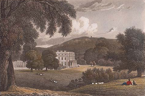
Sandhill Park in the parish of Bishops Lydeard, Somerset, England is a derelict country house built in about 1720. It was used in the 20th century as a prisoner of war camp, a home for handicapped children and later as a military and civilian hospital. History The estate was originally known as "Hill". In St Mary's Church, Bishops Lydeard, is a monument inscribed as follows: :"In a vault near this place lyeth the body of Elizabeth Periam, relict of John Periam of Hill, Esq, and dau(ghter) of John Southey of Fitzhead, Esq. ...she ....died lamented May 14, 1767, aged 68 ... Sarah, dau of John Periam of Milverton and heir to her brother John Periam of Hill, married 1719 died 21 June 1771 aet 74 wife of Thomas Lethbridge". John I Periam (1657-1711) of Milverton was the father of Sarah Periam, the wife firstly of Thomas Lethbridge (d.1734), a lawyer of Clement's Inn and secondly of George Bere of Taunton, a Doctor of Physick. In St Michael's Church, Milverton, is a ledger stone inscr ... [...More Info...] [...Related Items...] OR: [Wikipedia] [Google] [Baidu] |
Sand Hill Road
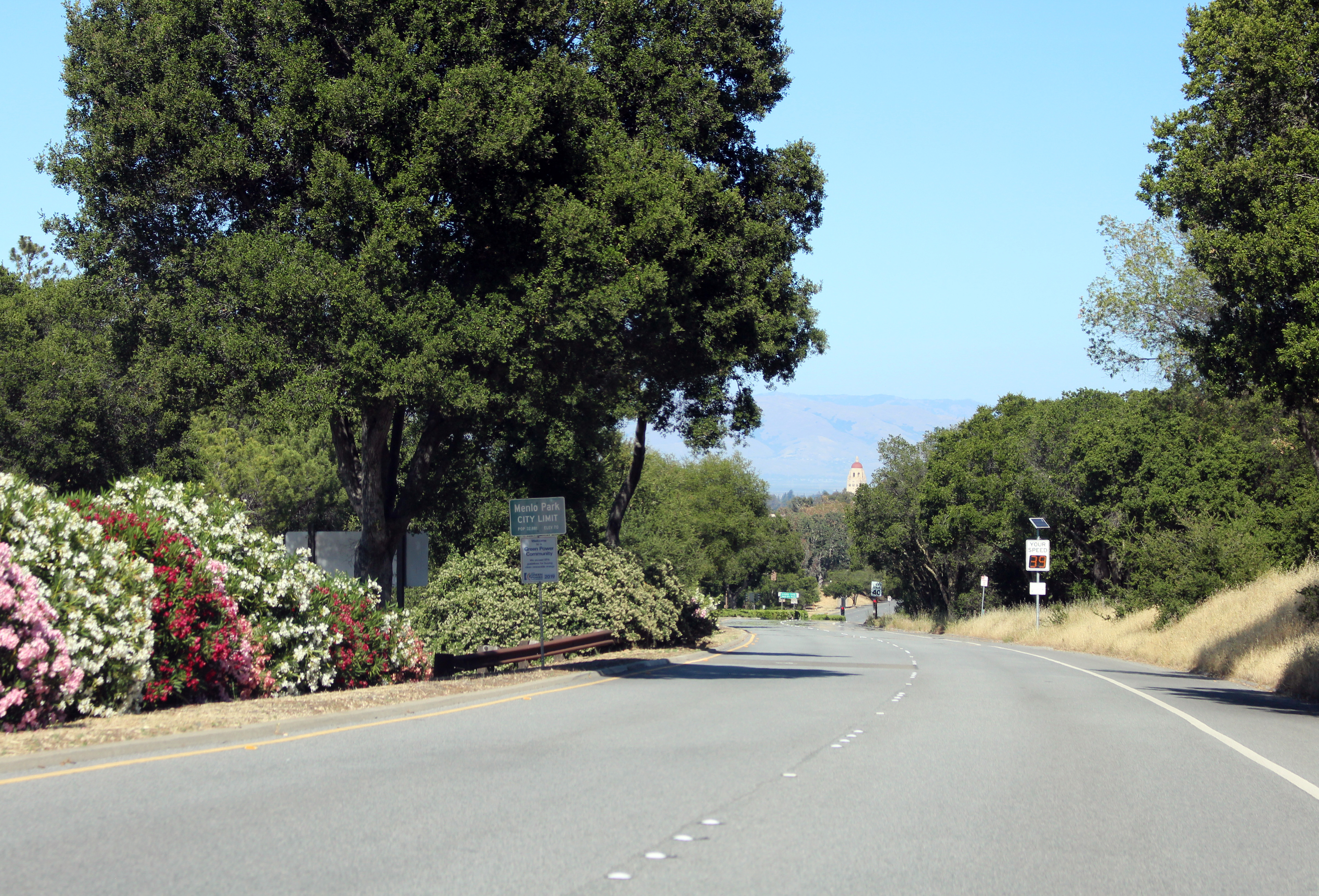
Sand Hill Road, often shortened to just "Sand Hill" or "SHR", is an arterial road in western Silicon Valley, California, running through Palo Alto, Menlo Park, and Woodside, notable for its concentration of venture capital companies. The road has become a metonym for that industry; nearly every top Silicon Valley company has been the beneficiary of early funding from firms on Sand Hill Road. Its significance as a symbol of private equity and venture capitalism in the United States is compared to that of Wall Street and the stock market, K Street in Washington, D.C. and political lobbying, Madison Avenue for the advertising industry, or Harley Street in London, UK for private specialist medicine and surgery. Location Connecting El Camino Real and Interstate 280, the road provides easy access to Stanford University and the northwestern area of Silicon Valley. The road also runs southwest of Interstate 280 into a residential neighborhood of Woodside, California, but the priv ... [...More Info...] [...Related Items...] OR: [Wikipedia] [Google] [Baidu] |
Blowout (geomorphology)
Blowouts are sandy depressions in a sand dune ecosystem (psammosere) caused by the removal of sediments by wind. Commonly found in coastal settings and margins of arid areas, blowouts tend to form when wind erodes patches of bare sand on stabilized vegetated dunes. Generally, blowouts do not form on actively flowing dunes due to the fact that the dunes need to be bound to some extent, for instance by plant roots. These depressions usually start on the higher parts of stabilized dunes on account of the more considerable desiccation and disturbances occurring there, which allows for greater surface drag and sediment entrainment when the sand is bare. Most of the time, exposed areas become quickly re-vegetated before they can become blowouts and expand; however, when circumstances are favourable, wind erosion can gouge the exposed surface and create a tunneling effect which increases local wind speed. A depression may then develop until it hits a non-erodible substrate, or morphol ... [...More Info...] [...Related Items...] OR: [Wikipedia] [Google] [Baidu] |
Dune
A dune is a landform composed of wind- or water-driven sand. It typically takes the form of a mound, ridge, or hill. An area with dunes is called a dune system or a dune complex. A large dune complex is called a dune field, while broad, flat regions covered with wind-swept sand or dunes with little or no vegetation are called ''ergs'' or ''sand seas''. Dunes occur in different shapes and sizes, but most kinds of dunes are longer on the stoss (upflow) side, where the sand is pushed up the dune, and have a shorter ''slip face'' in the lee side. The valley or trough between dunes is called a ''dune slack''. Dunes are most common in desert environments, where the lack of moisture hinders the growth of vegetation that would otherwise interfere with the development of dunes. However, sand deposits are not restricted to deserts, and dunes are also found along sea shores, along streams in semiarid climates, in areas of glacial outwash, and in other areas where poorly cemented sa ... [...More Info...] [...Related Items...] OR: [Wikipedia] [Google] [Baidu] |
Sandhill
A sandhill is a type of ecological community or xeric wildfire-maintained ecosystem. It is not the same as a sand dune. It features very short fire return intervals, one to five years. Without fire, sandhills undergo ecological succession and become more oak dominated. Entisols are the typical sandhill soil, deep well-drained and nutrient poor. In Florida, sandhills receive cm of rainfall per year, just like the more hydric ecosystems surrounding them. Sandhills are xeric because they have poor water holding capacity. Dominant vegetation includes longleaf pine (''Pinus palustris''), American turkey oak (''Quercus laevis''), and wiregrass (''Aristida stricta''). A number of rare animals are typical of this habitat including the gopher tortoise (''Gopherus polyphemus''), red-cockaded woodpecker (''Picoides borealis''), Sherman's fox squirrel ('' Sciurus niger shermani''), and striped newt (''Notophthalmus perstriatus''). Invasive species that are a problem on sandhills include Co ... [...More Info...] [...Related Items...] OR: [Wikipedia] [Google] [Baidu] |
Sand Hill River
The Sand Hill River is a U.S. Geological Survey. National Hydrography Dataset high-resolution flowline dataThe National Map accessed June 8, 2011 tributary of the Red River of the North in northwestern Minnesota in the United States. Via the Red River, Lake Winnipeg, and the Nelson River, it is part of the watershed of Hudson Bay, and drains an area of . Sand Hill River was named for the sand dunes near the end of its course. Course The Sand Hill River flows generally west from its source, Sand Hill Lake, near the town of Fosston in Polk County, dipping south through Mahnomen County and Norman County before returning to Polk County and passing the towns of Rindal, Fertile, and Climax. It flows into the Red River of the North west of Climax. See also *List of Minnesota rivers *List of tributaries of Hudson Bay This list of Hudson Bay rivers includes the principal rivers draining into the Hudson, James and Ungava bays of the Arctic Ocean. The total surface area of ... [...More Info...] [...Related Items...] OR: [Wikipedia] [Google] [Baidu] |
Hopegill Head
Hopegill Head is a fell in the English Lake District in Cumbria. It is located nine kilometres (5½ miles) west of the town of Keswick and is well seen from the B5292 road which crosses the Whinlatter Pass. Topography Hopegill Head is the middle fell of three fells on a ridge that starts at Braithwaite and goes west for eight kilometres to conclude at the northern end of Crummock Water. The other two fells on the ridge are Grisedale Pike and Whiteside. The fell is often referred to locally as Hobcarton Pike as it stands at the head of Hobcarton Gill. However, the Ordnance Survey have officially named the fell Hopegill Head on maps after Hope Gill, which is another valley that goes north-west from the summit. Hopegill Head reaches a height of 770 metres (2526 feet) and has two subsidiary summits, Ladyside Pike (703 metres / 2306 feet) and Sand Hill (756 metres / 2480 feet) both of which have Nuttall status. Hopegill Head’s most striking feature is the 130-metre-high (41 ... [...More Info...] [...Related Items...] OR: [Wikipedia] [Google] [Baidu] |
Sand Hill (Herkimer County, New York)
Sand Hill is a summit located in Central New York Region of New York (state), New York located in the Town of Russia, New York, Russia in Herkimer County, New York, Herkimer County, east-northeast of Poland, Herkimer County, New York, Poland. References {{Mountains of New York Mountains of Herkimer County, New York Mountains of New York (state) ... [...More Info...] [...Related Items...] OR: [Wikipedia] [Google] [Baidu] |


