|
San San, Portland, Jamaica
San San is a town in the parish of Portland in Jamaica Jamaica (; ) is an island country situated in the Caribbean Sea. Spanning in area, it is the third-largest island of the Greater Antilles and the Caribbean (after Cuba and Hispaniola). Jamaica lies about south of Cuba, and west of His .... Geography San San is that bit of coast and mountain about 5 kilometers east of Port Antonio, Jamaica. San San encompasses about , from Drapers east to Blue Hole. The modern history of this part of Portland began when Captain Lorenzo Dow Baker, "the Banana King" purchased the western portion, then called Cold Harbour Estates in 1902 from the Crown. By 1911, after the Captain's death, his sons purchased the eastern portion of San San known as Fairfield, again from the Crown. In 1926 a further purchase was made of land east of Fairfield known as Pompey. The Baker property, including lands west of Drapers was used for grazing cattle and growing pimento. In 1941, when the ... [...More Info...] [...Related Items...] OR: [Wikipedia] [Google] [Baidu] |
List Of Cities And Towns In Jamaica
The following is a list of the most populous settlements in Jamaica. Definitions The following definitions have been used: *City: Official city status on a settlement is only conferred by Act of Parliament. Only three areas have the designation; Kingston when first incorporated in 1802 reflecting its early importance over the then capital Spanish Town, Montego Bay being granted the status in 1980, and Portmore, whose municipal council was given the city title in 2018. It is not necessarily based on population counts, and while a honorific title, can confer some increased autonomy. *Town/Village: The Statistical Institute of Jamaica considers an urban area to be any area with 2,000 or more residents. A town would generally be considered to be ranked as a higher populated urban area, and a village as a minor urban area. *Neighbourhood: Geographically obvious subdivisions of any of the above. Cities and towns Villages * Accompong (Saint Elizabeth) * Aeolus Valley (Sai ... [...More Info...] [...Related Items...] OR: [Wikipedia] [Google] [Baidu] |
Parishes Of Jamaica
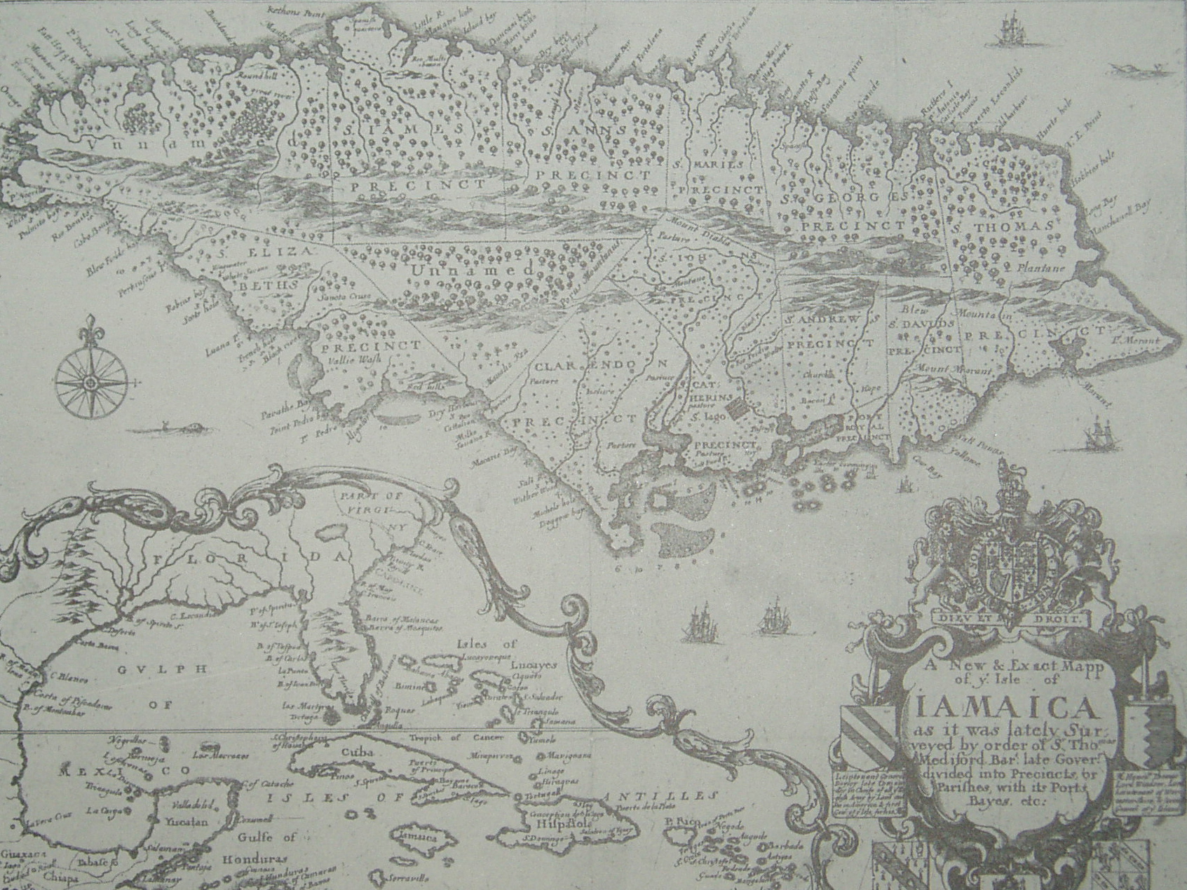
The parishes of Jamaica are the main units of local government in Jamaica. They were created following the English Invasion of Jamaica in 1655. This administrative structure for the Colony of Jamaica developed slowly. However, since 1 May 1867 Jamaica has been divided into the current fourteen parishes. These were retained after independence in 1962. They are grouped into three historic counties, which no longer have any administrative relevance. Every parish has a coast; none are landlocked. List (1) The parishes of Kingston and Saint Andrew together form the ''Kingston and St. Andrew Corporation''. (2) The parish of Kingston does not encompass all of the city of Kingston. Most of the city is in the parish of St. Andrew. History Early history Following the English conquest of Jamaica the first phase of colonisation was carried out by the Army, with a system of Regimental plantations. These were drawn up on the southern flat lands, with the Regimental commanders charge ... [...More Info...] [...Related Items...] OR: [Wikipedia] [Google] [Baidu] |
Portland, Jamaica
Portland, with its capital city, capital town Port Antonio, is a Parishes of Jamaica, parish located on Jamaica's northeast coast. It is situated to the north of Saint Thomas Parish, Jamaica, St Thomas and to the east of Saint Mary Parish, Jamaica, St Mary in Surrey County, Jamaica, Surrey County. It is one of the rural areas of Jamaica, containing part of the Blue Mountains (Jamaica), Blue Mountains, where the Jamaican Maroon communities of Moore Town and Charles Town, Jamaica, Charles Town are located. Geography and demography The parish is situated at latitude 18°10' N and longitude 75°27'W. It extends from the highest peaks of the Blue Mountains (Jamaica), Blue Mountains, above sea level, down to the north coast, and is noted for its fertile soil, scenery, and beaches. The parish lies in the direct path of the northeast trade winds, and the Blue Mountain ridge to its south traps the moisture. This parish has the highest rainfall in the island. Port Antonio, Jamaica, Po ... [...More Info...] [...Related Items...] OR: [Wikipedia] [Google] [Baidu] |
Jamaica
Jamaica (; ) is an island country situated in the Caribbean Sea. Spanning in area, it is the third-largest island of the Greater Antilles and the Caribbean (after Cuba and Hispaniola). Jamaica lies about south of Cuba, and west of Hispaniola (the island containing the countries of Haiti and the Dominican Republic); the British Overseas Territory of the Cayman Islands lies some to the north-west. Originally inhabited by the indigenous Taíno peoples, the island came under Spanish rule following the arrival of Christopher Columbus in 1494. Many of the indigenous people either were killed or died of diseases, after which the Spanish brought large numbers of African slaves to Jamaica as labourers. The island remained a possession of Spain until 1655, when England (later Great Britain) conquered it, renaming it ''Jamaica''. Under British colonial rule Jamaica became a leading sugar exporter, with a plantation economy dependent on the African slaves and later their des ... [...More Info...] [...Related Items...] OR: [Wikipedia] [Google] [Baidu] |

