|
San Gabriel, Texas
San Gabriel, Texas is an unincorporated community located in northwest Milam County, Texas approximately 10 miles north of Thorndale on Ranch Road 486, or about 50 miles northeast of the Austin metropolitan area. San Gabriel has an elevation of 417 feet above sea level. San Gabriel appears on the San Gabriel U.S. Geological Survey Map and is in the Central Time Zone (UTC/GMT -6 hours - UTC/GMT -5 hours during Daylight Saving Time Daylight saving time (DST), also referred to as daylight savings time or simply daylight time (United States, Canada, and Australia), and summer time (United Kingdom, European Union, and others), is the practice of advancing clocks (typicall ...). History San Gabriel is named after the San Gabriel River in Central Texas. San Gabriel is located about 30 miles downstream from the site of the Battle of the San Gabriels in 1839, a battle fought during the Texas-Indian Wars that followed the Texas Republic's successful Revolution after the suspensio ... [...More Info...] [...Related Items...] OR: [Wikipedia] [Google] [Baidu] |
Milam County, Texas
Milam County is a county located in the U.S. state of Texas. As of the 2020 census, its population was 24,754. The county seat is Cameron. The county was created in 1834 as a municipality in Mexico and organized as a county in 1837. Milam County is named for Benjamin Rush Milam, an early settler and a soldier in the Texas Revolution. Geography According to the U.S. Census Bureau, the county has a total area of , of which are land and (0.5%) are covered by water. Major highways * U.S. Highway 77 * U.S. Highway 79 * U.S. Highway 190 * State Highway 36 Adjacent counties * Falls County (north) * Robertson County (northeast) * Burleson County (southeast) * Lee County (south) * Williamson County (southwest) * Bell County (northwest) Demographics ''Note: the US Census treats Hispanic/Latino as an ethnic category. This table excludes Latinos from the racial categories and assigns them to a separate category. Hispanics/Latinos can be of any race.'' As of the cen ... [...More Info...] [...Related Items...] OR: [Wikipedia] [Google] [Baidu] |
Thorndale, Texas
Thorndale is a city in Milam County, Texas, with a small part in Williamson County. The population was 1,263 at the 2020 census. It was founded in 1878 about 3 miles west of its present site, and moved to its current site in 1880. History Antonio Gómez, a Mexican-American teenager, was lynched on June 19, 1911, in Thorndale following his lethal stabbing of a German-American garage owner, Charles Zieschang. Concerns about prejudice and violence against Mexican-American youths, such as the Gómez hanging, inspired Jovita Idar to found the League of Mexican Women (La Liga Femenil Mexicanista). Geography Thorndale is located at (30.612549, –97.204523), about 40 miles northeast of Austin and 12 miles west of Rockdale. Most of the city lies in Milam County, with only a small portion in Williamson County. According to the United States Census Bureau, the city has a total area of 1.0 square miles (2.5 km2), all land. Climate The climate in this area is characteriz ... [...More Info...] [...Related Items...] OR: [Wikipedia] [Google] [Baidu] |
Daylight Saving Time
Daylight saving time (DST), also referred to as daylight savings time or simply daylight time (United States, Canada, and Australia), and summer time (United Kingdom, European Union, and others), is the practice of advancing clocks (typically by one hour) during warmer months so that darkness falls at a later clock time. The typical implementation of DST is to set clocks forward by one hour in the spring ("spring forward"), and to set clocks back by one hour in the fall ("fall back") to return to standard time. As a result, there is one 23-hour day in early spring and one 25-hour day in the middle of autumn. The idea of aligning waking hours to daylight hours to conserve candles was first proposed in 1784 by U.S. polymath Benjamin Franklin. In a satirical letter to the editor of ''The Journal of Paris'', Franklin suggested that waking up earlier in the summer would economize on candle usage; and calculated considerable savings. In 1895, New Zealand entomologist and astronome ... [...More Info...] [...Related Items...] OR: [Wikipedia] [Google] [Baidu] |
San Gabriel River (Texas)
The San Gabriel River is a river that flows through central Texas, USA. The San Gabriel River is formed in Georgetown by the confluence of the North Fork San Gabriel and the South Fork San Gabriel, both of which originate in Burnet County. There are two major impoundments of the river: Lake Georgetown along the North Fork, and Granger Lake, about 25 miles (40 km) below the confluence. Both are U.S. Army Corps of Engineers impoundments. The San Gabriel River joins the Little River five miles south of Cameron which then meets the Brazos River northwest of College Station. There is a city park in Georgetown at the confluence of the North and South Forks, with a well-known local swimming spot (the "Blue Hole") located just upriver from the confluence on the South Fork. Like most Texas Hill Country rivers, the San Gabriel west of the Balcones Fault is characterized by limestone river bottoms, some moderate rapids, small canyons, and muddy bottoms along slower-moving stretches ... [...More Info...] [...Related Items...] OR: [Wikipedia] [Google] [Baidu] |
Battle Of The San Gabriels
The Battle of the San Gabriels was an 1839 skirmish in the Texas–Indian wars. The battle began on 17 May 1839. A company of Texas Rangers under Lt. James O. Rice had pursued the Mexican agent Manuel Flores and his party of Mexicans and Indians, following their murder of four surveyors working between Seguin and San Antonio, Texas. Battle was commenced on the north San Gabriel River, after the 2 day pursuit. In the first charge, Flores was killed and his company fled, abandoning a supply train intended to equip the Indians of East Texas for a revolt against the Texians. In the captured baggage, Rice discovered letters between Flores and Vicente Córdova as well as instructions from Mexican general Valentín Canalizo, detailing the Córdova Rebellion. These letters contradicted The Bowl's previous denials of involvement with Córdova's revolt and led to the Cherokee War. A marker was placed near the site in 1936.Manuel Flores: 2.5 miles SE on SH 29, past US 183, 0.1 mile ... [...More Info...] [...Related Items...] OR: [Wikipedia] [Google] [Baidu] |
Republic Of Texas
The Republic of Texas ( es, República de Tejas) was a sovereign state in North America that existed from March 2, 1836, to February 19, 1846, that bordered Mexico, the Republic of the Rio Grande in 1840 (another breakaway republic from Mexico), and the United States of America, although Mexico considered it a rebellious province during its entire existence despite the Treaties of Velasco of May 1836. It was bordered by Mexico to the west and southwest, the Gulf of Mexico to the southeast, the two U.S. states of Louisiana and Arkansas to the east and northeast, and Territories of the United States, United States territories encompassing parts of the current U.S. states of Oklahoma, Kansas, Colorado, Wyoming, and New Mexico to the north and west. The Anglo residents of the area and of the republic became known as Texians. The region of the Mexican state of Coahuila y Tejas, now commonly referred to as Mexican Texas, declared its independence from Mexico during the Texas Revo ... [...More Info...] [...Related Items...] OR: [Wikipedia] [Google] [Baidu] |
1824 Constitution Of Mexico
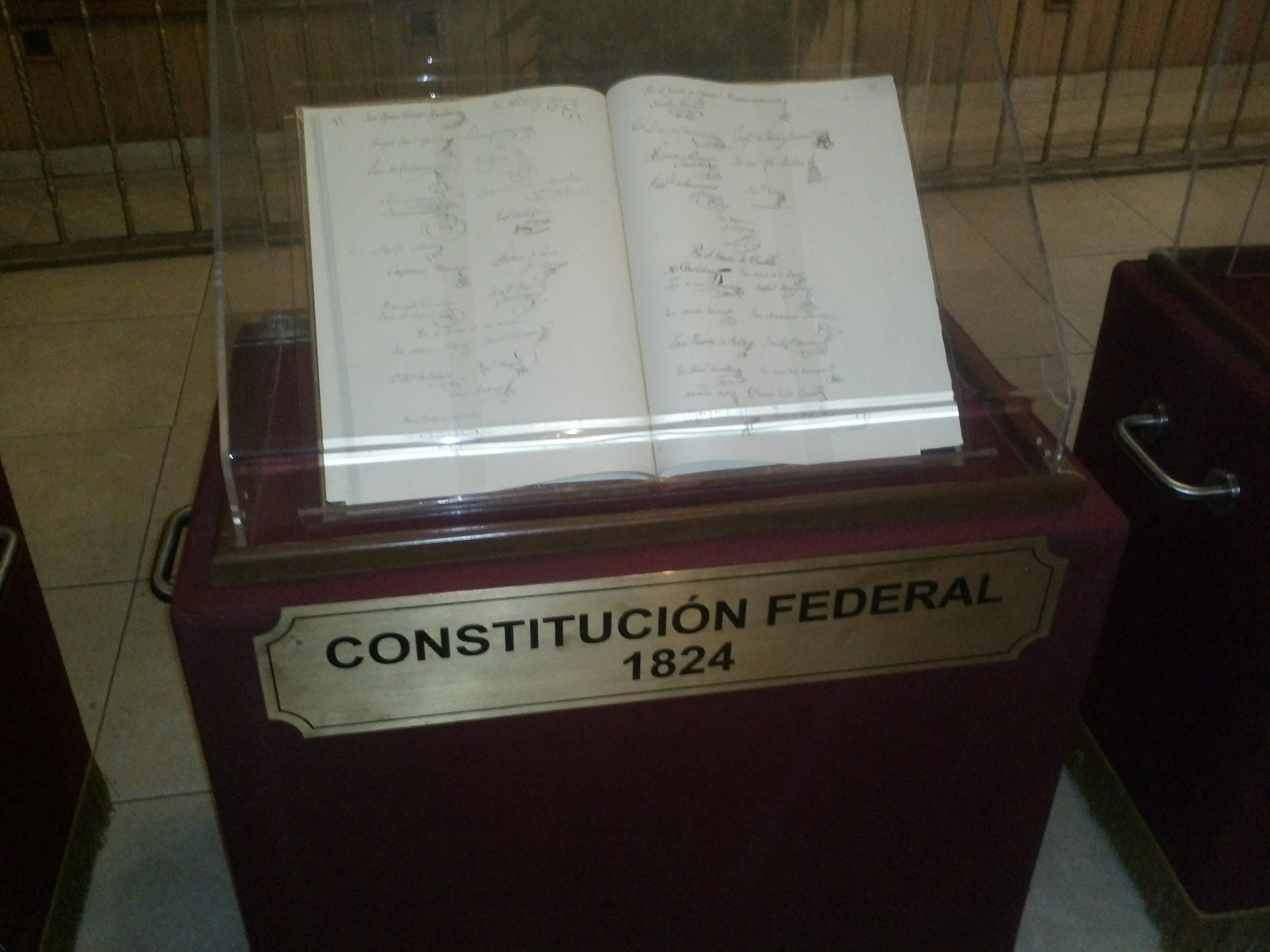
The Federal Constitution of the United Mexican States of 1824 ( es, Constitución Federal de los Estados Unidos Mexicanos de 1824) was enacted on October 4 of 1824, after the overthrow of the Mexican Empire of Agustin de Iturbide. In the new Frame of Government, the republic took the name of United Mexican States, and was defined as a representative federal republic, with Catholicism as the official and unique religion.Federal Constitution of the United Mexican States (1824) It was replaced by the . |
Antonio López De Santa Anna
Antonio de Padua María Severino López de Santa Anna y Pérez de Lebrón (; 21 February 1794 – 21 June 1876),Callcott, Wilfred H., "Santa Anna, Antonio Lopez De,''Handbook of Texas Online'' Retrieved 18 April 2017. usually known as Santa Anna or López de Santa Anna, was a Mexican politician and general. His influence on post-independence Mexican politics and government in the first half of the nineteenth century is such that historians of Mexico often refer to it as the "Age of Santa Anna". He has been called "the Man of Destiny", "a quintessential ''caudillo'' trongman. Although initially in the post-independence period he identified as a federalist and participated in a coup that ousted the conservatives in 1833, he became increasingly conservative. Elected President in 1833, López de Santa Anna declined to serve and retired to his home state and power base of Veracruz, a pattern that was to repeat itself until his ouster in 1855. López de Santa Anna's military and poli ... [...More Info...] [...Related Items...] OR: [Wikipedia] [Google] [Baidu] |
2000 United States Census
The United States census of 2000, conducted by the Census Bureau, determined the resident population of the United States on April 1, 2000, to be 281,421,906, an increase of 13.2 percent over the 248,709,873 people enumerated during the 1990 census. This was the twenty-second federal census and was at the time the largest civilly administered peacetime effort in the United States. Approximately 16 percent of households received a "long form" of the 2000 census, which contained over 100 questions. Full documentation on the 2000 census, including census forms and a procedural history, is available from the Integrated Public Use Microdata Series. This was the first census in which a state – California – recorded a population of over 30 million, as well as the first in which two states – California and Texas – recorded populations of more than 20 million. Data availability Microdata from the 2000 census is freely available through the Integrated Public Use Microdata Serie ... [...More Info...] [...Related Items...] OR: [Wikipedia] [Google] [Baidu] |


