|
Samrong Nuea
Samrong Nuea ( th, สำโรงเหนือ, ), also popularly called for short ''Samrong'' () is a ''tambon'' (sub-district) and neighbourhood of Mueang Samut Prakan District, Samut Prakan Province on eastern outskirts Bangkok. Description Its name meaning "northern Samrong" after Khlong Samrong, a main watercourse flowing through the area. The area is the northernmost part of the district. It borders Bang Na Tai in Bang Na District of Bangkok to the north. Administration & population Samrong Nuea is part of the administrative area of Samrong Nuea Subdistrict Municipality. The area also consists of nine administrative ''muban'' (village). It has a total population of 55,389 people in 18,989 households. Places *Imperial World Samrong *Samrong General Hospital *Wat Dan Samrong *Mathayomwat Dansamrong School *Makro Srinagarindra Transportation The area served by nearby the Bearing (E14) and Samrong Stations (E15) of the BTS skytrain, whose Sukhumvit Line ru ... [...More Info...] [...Related Items...] OR: [Wikipedia] [Google] [Baidu] |
Tambon
''Tambon'' ( th, ตำบล, ) is a local governmental unit in Thailand. Below district (''amphoe'') and province (''changwat''), they form the third administrative subdivision level. there were 7,255 tambons, not including the 180 ''khwaeng'' of Bangkok, which are set at the same administrative level, thus every district contains eight to ten tambon. ''Tambon'' is usually translated as "township" or "subdistrict" in English — the latter is the recommended translation, though also often used for ''king amphoe'', the designation for a subdistrict acting as a branch (Thai: ''king'') of the parent district. Tambon are further subdivided into 69,307 villages ('' muban''), about ten per ''tambon''. ''Tambon'' within cities or towns are not subdivided into villages, but may have less formal communities called ''chumchon'' ( ชุมชน) that may be formed into community associations. History The ''tambon'' as a subdivision has a long history. It was the second-level sub ... [...More Info...] [...Related Items...] OR: [Wikipedia] [Google] [Baidu] |
Bangkok
Bangkok, officially known in Thai language, Thai as Krung Thep Maha Nakhon and colloquially as Krung Thep, is the capital and most populous city of Thailand. The city occupies in the Chao Phraya River delta in central Thailand and has an estimated population of 10.539 million as of 2020, 15.3 percent of the country's population. Over 14 million people (22.2 percent) lived within the surrounding Bangkok Metropolitan Region at the 2010 census, making Bangkok an extreme primate city, dwarfing Thailand's other urban centres in both size and importance to the national economy. Bangkok traces its roots to a small trading post during the Ayutthaya Kingdom in the 15th century, which eventually grew and became the site of two capital cities, Thonburi Kingdom, Thonburi in 1768 and Rattanakosin Kingdom (1782–1932), Rattanakosin in 1782. Bangkok was at the heart of the modernization of Siam, later renamed Thailand, during the late-19th century, as the country faced pressures from the ... [...More Info...] [...Related Items...] OR: [Wikipedia] [Google] [Baidu] |
Sanam Luang
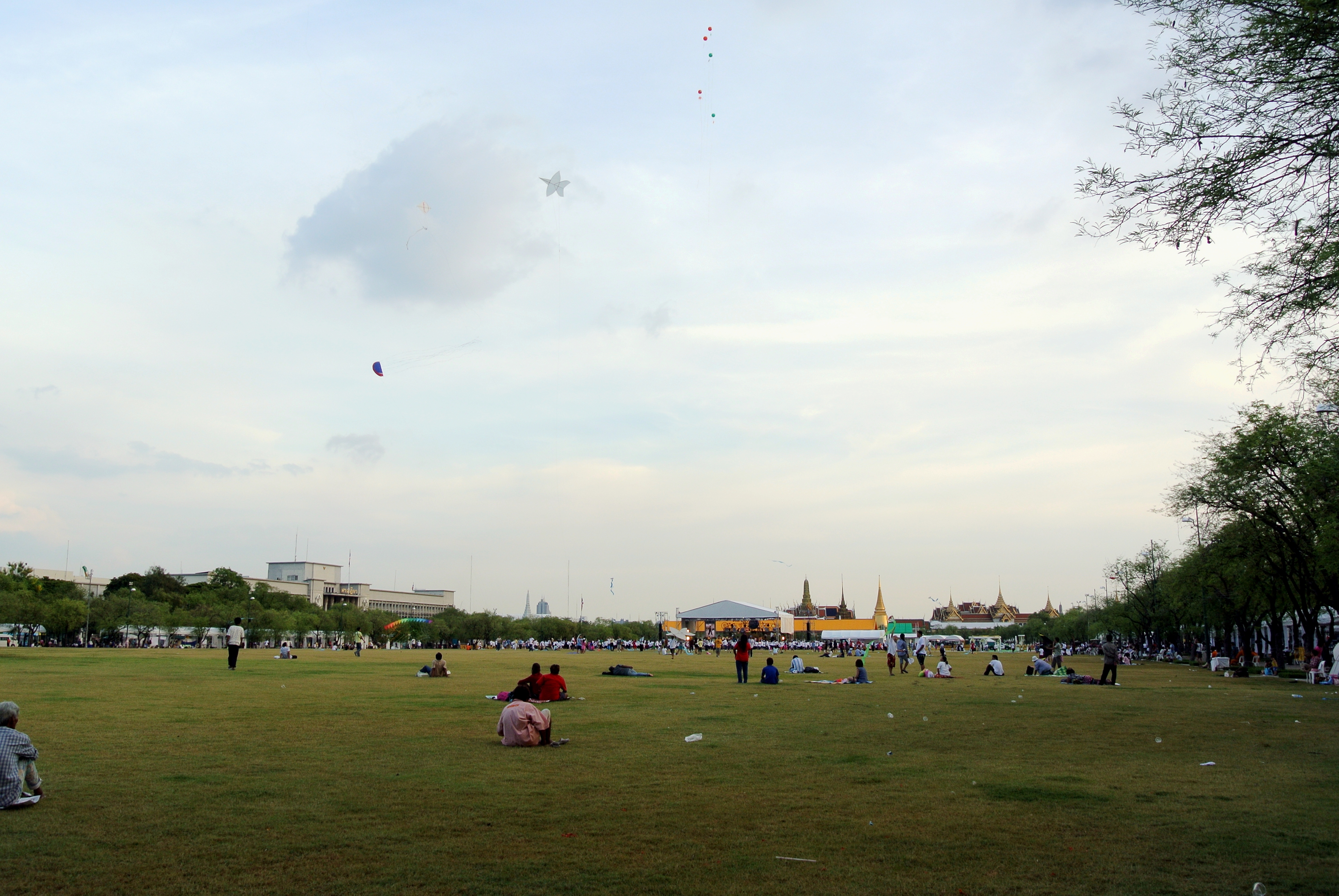
Sanam Luang ( th, สนามหลวง, ; lit: 'royal turf') is a open field and public square in front of Wat Phra Kaew and the Grand Palace, Bangkok, Thailand. Sanam Luang is in the Phra Nakhon District, the historic center of Bangkok. In the ''Royal Chronicle'' it was written that, "In front of Wat Mahathat, Sanam Luang lies between the Royal Palace and the Front Palace. When royal cremation was held at the Phra Men Ground, the pyre set up in the centre with the Royal Palace Pavilion to the south and the one of the Prince of the Front Palace to the north. The music from the Royal Palace and from the Palace to the Front would be played on opposite sides of Sanam Luang". Sanam Luang was officially known as "Thung Phra Men" (the royal cremation ground) (Thai: ทุ่งพระเมรุ). It has been used as a site for the cremation of kings, queens, and high-ranking princes since the reign of King Rama I. In 1855, King Rama IV changed its name from "Thung Phra Men ... [...More Info...] [...Related Items...] OR: [Wikipedia] [Google] [Baidu] |
Thewet
Thewet Naruemit Bridge is a historic bridge over canal Khlong Phadung Krung Kasem in Bangkok, Thailand. Its name is also the name of the surrounding area known as Thewet. The bridge straddles between four sub-districts of two administrative districts of Bangkok, namely Wat Sam Phraya and Bang Khun Phrom Subdistricts, Phra Nakhon District with Wachiraphayaban and Dusit Subdistricts, Dusit District. History King Chulalongkorn (Rama V) ordered the Department of Public Works to construct the bridge. The King named it "Thewet Naruemit Bridge". "Thewet" means "great deity" and refers to The Bridge Built by Hindu's Lord Shiva. When completed King Chulalongkorn gave the opening ceremony on June 30, 1899. It is the first bridge to cross Khlong Phadung Krung Kasem during his reign. The bridge was restored in 1975. It was restored again along with Tha Chang Pier by the Ministry of Transport scheduled for completion May 2021. Surroundings Thewet Market is one of Bangkok's big and ... [...More Info...] [...Related Items...] OR: [Wikipedia] [Google] [Baidu] |
Pak Khlong Talat
Pak Khlong Talat ( th, ปากคลองตลาด, ;) is a market in Wang Burapha Phirom Subdistrict, Phra Nakhon District, Bangkok, Thailand, that sells flowers, fruits, and vegetables. It is the primary flower market of Bangkok and has been cited as a "place of symbolic value" to Bangkok residents. It is on Chak Phet Road and adjacent side-streets, close to Memorial Bridge. Though the market is open 24 hours, it is busiest before dawn, when boats and trucks arrive with flowers from nearby provinces. Its location by Chao Phraya River near the southern end of Khlong Lot, hence the name 'Pak Khlong Talat', literally means "the market on the mouth of the canal". History During the reign of Rama I (1782–1809), the site was a floating market. By the reign of Rama V (1868–1910), it had become a fish market. [...More Info...] [...Related Items...] OR: [Wikipedia] [Google] [Baidu] |
List Of Bus Routes In Bangkok
Citybuses in Greater Bangkok are served by a state-owned citybus operator Bangkok Mass Transit Authority (BMTA) and private operators sub-contracted by either BMTA or Department of Land Transport. Since began operation, BMTA acted as the bangkok bus lines concessions owners. Private operators operated as a sub-contracted, They may run on the same routes as BMTA buses; Example: orange minibuses, cream-blue (or pink) 12 metre buses. These buses have the BMTA symbol on them, mostly seen below the driver's side window. These often follow slightly different route from the main big BMTA-bus or do not run along the whole route. However, these may cause a lot of problems such as reckless driving rushing between two buses from different lines that may serve on the same section of the road, subpar buses quality, and so on. Since 2017, Department of Land Transport introduced the bangkok citybus reform plan aiming to reduce overlapping, serve more area, and makes these lines more profitabili ... [...More Info...] [...Related Items...] OR: [Wikipedia] [Google] [Baidu] |
Sukhumvit Road
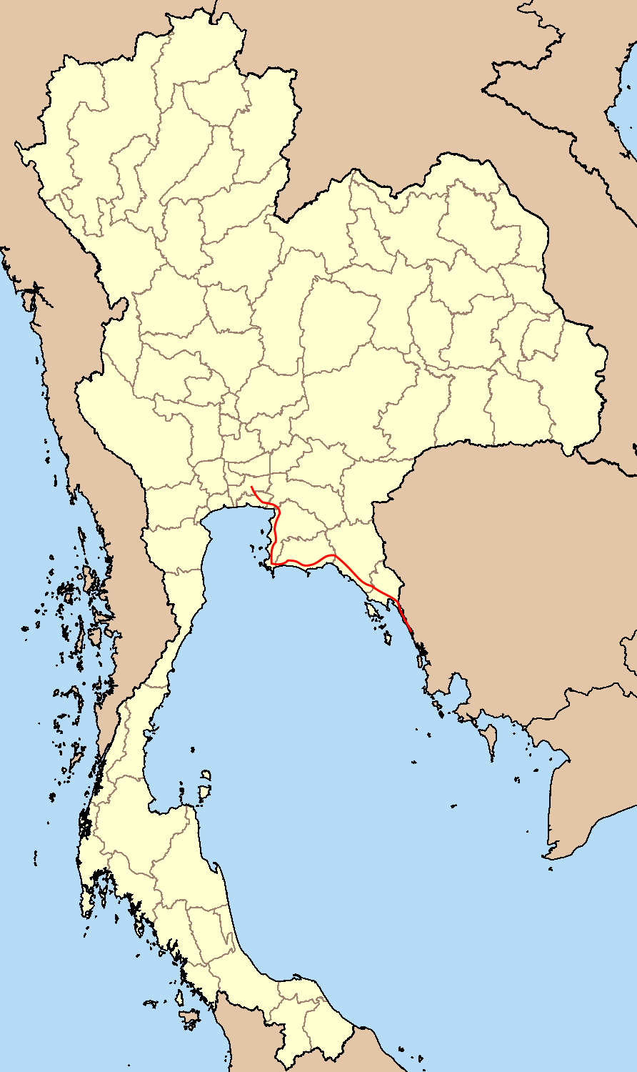
Sukhumvit Road ( th, ถนนสุขุมวิท, , ), or Highway 3 ( th, ทางหลวงแผ่นดินหมายเลข 3), is a major road in Thailand, and a major surface road of Bangkok and other cities. It follows a coastal route from Bangkok to Khlong Yai District, Trat border to Koh Kong, Cambodia. Sukhumvit Road is named after the fifth chief of the Department of Highways, Phra Bisal Sukhumvit. It is one of the four major highways of Thailand, along with Phahonyothin Road (Highway 1), Mittraphap Road (Highway 2) and Phetkasem Road (Highway 4). Route Sukhumvit Road begins in Bangkok, as a continuation of Rama I and Phloen Chit Roads which span Pathum Wan District. Starting from where the boundaries of the districts of Khlong Toei, Pathum Wan and Watthana meet, it runs the entire length of the border between Khlong Toei and Watthana, then passes through Phra Khanong and Bang Na districts. It then crosses the border between Bangkok and S ... [...More Info...] [...Related Items...] OR: [Wikipedia] [Google] [Baidu] |
Sukhumvit Line
The Sukhumvit line ( th, รถไฟฟ้า สายสุขุมวิท) or Light Green line, is an elevated metro rail line of the BTS Skytrain in Bangkok, Thailand. From the central Siam Station, where it connects with the Silom Line, the line runs both northwards along Phaya Thai and Phahon Yothin Roads to Khu Khot in Lam Luk Ka District in Pathum Thani, and eastwards along Rama I, Phloen Chit and Sukhumvit Roads, through Bang Na District to Kheha Station in Samut Prakan. BTS daily ridership (2019) is 740,000 passengers per day. History The first part of the line opened in December 1999 and consisted of seventeen stations from Mo Chit to On Nut. Currently, there are 47 stations in operation for more than 50 km from origin to destination. Its formal name is The Elevated Train in Commemoration of HM the King's 6th Cycle Birthday 1st line ( th, รถไฟฟ้าเฉลิมพระเกียรติ 6 รอบพระชนมพรรษา สา ... [...More Info...] [...Related Items...] OR: [Wikipedia] [Google] [Baidu] |
BTS Skytrain
The Bangkok Mass Transit System, commonly known as the BTS Skytrain ( th, รถไฟฟ้าบีทีเอส '' TS'), is an elevated rapid transit system in Bangkok, Thailand. It is operated by Bangkok Mass Transit System PCL (BTSC), a subsidiary of BTS Group Holdings, under a concession granted by the Bangkok Metropolitan Administration (BMA) which owns the lines. The system consists of 62 stations along three lines with a combined route length of . The BTS Sukhumvit Line running northwards and south-eastwards, terminating at Khu Khot and Kheha respectively. The BTS Silom Line which serves Silom and Sathon Roads, the central business district of Bangkok, terminates at National Stadium and Bang Wa. The Gold Line people mover runs from Krung Thon Buri to Klong San and serves Iconsiam. The lines interchange at Siam station and Krung Thon Buri. The system is formally known as "The Elevated Train in Commemoration of HM the King's 6th Cycle Birthday" (). Besides the ... [...More Info...] [...Related Items...] OR: [Wikipedia] [Google] [Baidu] |
Makro
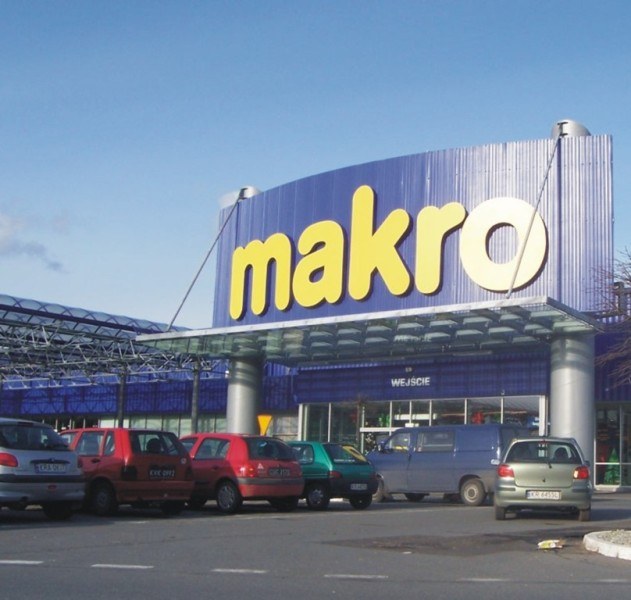
Makro is a Dutch international brand of warehouse clubs, also called cash and carry stores. Makro was founded by SHV Holdings, a Dutch conglomerate based in Utrecht in partnership with German company Metro AG, with the first warehouse club opened in Amsterdam in 1968. Currently, ownership of the worldwide chain of stores is split between different companies like Metro AG in Europe (except UK), SHV Holdings in Latin America (except Peru) and CP All in Asia. In many countries, access to stores is restricted to business customers, and the stores are not open to the general public. History SHV originated in 1896 from a merger between a number of large coal mining companies, some of which had been active since the 18th century. In 1968, the first Makro store opened in Amsterdam. In the following years more stores opened in the Netherlands and several other European countries. In April 1971 the first Makro in the UK opened in Eccles, Manchester. Also in 1971, the first Makro ... [...More Info...] [...Related Items...] OR: [Wikipedia] [Google] [Baidu] |
.jpg)
.jpg)


