|
Saline County, Arkansas
Saline County ( ) is a County (United States), county located in the U.S. state of Arkansas. As of the 2020 United States census, 2020 census, the population was 123,416. Its county seat and largest city is Benton, Arkansas, Benton. Saline County was formed on November 2, 1835, and named for the salt water (brine) springs in the area, despite a differing pronunciation from saline water, saline. Until November 2014, it was an alcohol prohibition or dry county. Saline County is included in the Central Arkansas region. Geography According to the U.S. Census Bureau, the county has a total area of , of which is land and (0.9%) is water. Major highways * Interstate 30 (Arkansas), Interstate 30 * Interstate 30 Business Loop * Interstate 530 (Arkansas), Interstate 530 * U.S. Highway 65 (Arkansas), U.S. Highway 65 * U.S. Highway 67 (Arkansas), U.S. Highway 67 * U.S. Route 70 in Arkansas, U.S. Highway 70 * U.S. Highway 167 (Arkansas), U.S. Highway 167 * Arkansas Highway 5, Highway 5 ... [...More Info...] [...Related Items...] OR: [Wikipedia] [Google] [Baidu] |
County (United States)
In the United States, a county or county equivalent is an Administrative division, administrative subdivision of a U.S. state, state or territories of the United States, territory, typically with defined geographic Border, boundaries and some level of governmental authority. The term "county" is used in 48 states, while Louisiana and Alaska have functionally equivalent subdivisions called List of parishes in Louisiana, parishes and List of boroughs and census areas in Alaska, boroughs, respectively. Counties and other local governments in the United States, local governments exist as a matter of U.S. state law, so the specific governmental powers of counties may vary widely between the states, with many providing some level of services to civil townships, Local government in the United States, municipalities, and Unincorporated area#United States, unincorporated areas. Certain municipalities are List of U.S. municipalities in multiple counties, in multiple counties. Some municip ... [...More Info...] [...Related Items...] OR: [Wikipedia] [Google] [Baidu] |
US 167
U.S. Route 167 is a north-south United States Highway within the U.S. states of Louisiana and Arkansas. It runs for from Ash Flat, Arkansas at U.S. Route 62/ U.S. Route 412 to Abbeville, Louisiana at Louisiana Highway 14. It goes through the cities of Little Rock, Arkansas, Alexandria, Louisiana, and Lafayette, Louisiana. Some of the highway's route has been combined with or parallels Interstate 49 in Louisiana. Between Junction City, Arkansas, and Ruston, Louisiana, U.S. 167 runs concurrent with U.S. 63. Route description Louisiana U.S. Highway 167 in Louisiana runs in a north–south direction from the national southern terminus at Louisiana Highway 14 Business (LA 14 Bus.) in Abbeville to the Arkansas state line at Junction City. The route cuts through the center of Louisiana for roughly its entire length and passes through two of the state's metropolitan areas, Lafayette and Alexandria. Between those cities, US 167 ranges in character from an urban fr ... [...More Info...] [...Related Items...] OR: [Wikipedia] [Google] [Baidu] |
USA Saline County, Arkansas Age Pyramid
The United States of America (USA), also known as the United States (U.S.) or America, is a country primarily located in North America. It is a federal republic of 50 U.S. state, states and a federal capital district, Washington, D.C. The 48 contiguous states border Canada to the north and Mexico to the south, with the semi-exclave of Alaska in the northwest and the archipelago of Hawaii in the Pacific Ocean. The United States asserts sovereignty over five Territories of the United States, major island territories and United States Minor Outlying Islands, various uninhabited islands in Oceania and the Caribbean. It is a megadiverse country, with the world's List of countries and dependencies by area, third-largest land area and List of countries and dependencies by population, third-largest population, exceeding 340 million. Its three Metropolitan statistical areas by population, largest metropolitan areas are New York metropolitan area, New York, Greater Los Angeles, Los Angel ... [...More Info...] [...Related Items...] OR: [Wikipedia] [Google] [Baidu] |
Ouachita National Forest
The Ouachita National Forest is a vast congressionally-designated United States National Forest, National Forest that lies in the western portion of Arkansas and portions of extreme-eastern Oklahoma, USA. History The Ouachita National Forest is the oldest National Forest in the southern United States. The forest encompasses , including most of the scenic Ouachita Mountains, Ouachita Mountain Range. Six locations in the forest, comprising , have been congressionally-designated as wilderness areas. ''Ouachita'' is the French spelling of the Indian word ''Washita'', which means "good hunting grounds". The forest was known as Arkansas National Forest on its establishment on December 18, 1907; the name was changed to Ouachita National Forest on April 29, 1926. image:AR Ouachita National Forest.jpg, 250px, Ouachita National Forest Rich in history, the rugged and scenic Ouachita Mountains were explored by Europeans in 1541 by Hernando de Soto (explorer), Hernando de Soto ... [...More Info...] [...Related Items...] OR: [Wikipedia] [Google] [Baidu] |
Garland County, Arkansas
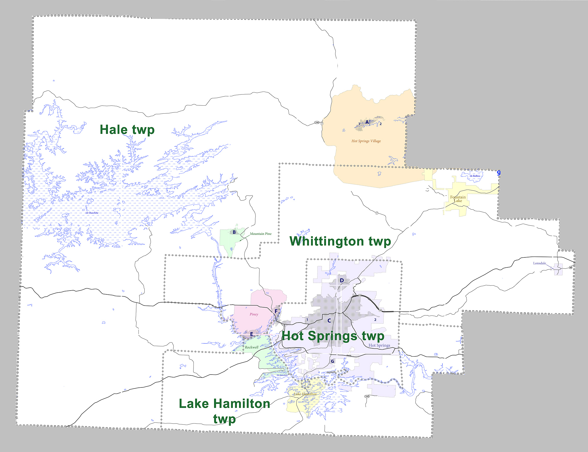
Garland County is a County (United States), county located in the U.S. state of Arkansas. As of the 2020 United States census, 2020 census, the population was 100,180. The county seat is Hot Springs, Arkansas, Hot Springs. Garland County comprises the Hot Springs, Arkansas Metropolitan Statistical Area. The county includes Hot Springs National Park, the only national park in the state of Arkansas as well as the first property to be protected under federal legislation. A law was passed in 1832 supported by President Andrew Jackson to preserve this area, even before Arkansas was admitted as a state. History This area was occupied by the historic Natchitoches people, who frequented the hot springs for their healing powers. Their ancestors among regional indigenous peoples had been coming to this area for thousands of years before their time. After acquiring the Louisiana Territory in 1803, which had been controlled by French and Spanish officials, President Thomas Jefferson re ... [...More Info...] [...Related Items...] OR: [Wikipedia] [Google] [Baidu] |
Hot Spring County, Arkansas
Hot Spring County, officially the County of Hot Spring, is a county located in the U.S. state of Arkansas. As of the 2020 census, the population was 33,040. The county seat is Malvern. Established on November 2, 1829, in the Arkansas Territory from a part of Clark County; it was named after the hot springs at Hot Springs, Arkansas, which were formerly in the county. The creation of Garland County in 1873 detached the town of Hot Springs to the newly created county. For nearly 80 years, Hot Spring County was an alcohol prohibition or dry county, though attempts in recent years to locate the county prohibition ordinance were unsuccessful. In November 2022, voters overturned the prohibition, approving a measure to allow countywide retail alcohol sales. Hot Spring County comprises the Malvern, AR Micropolitan Statistical Area, which is included in the Hot Springs-Malvern, AR Combined Statistical Area. Geography Hot Spring County is located in Southwest Arkansas, a region ... [...More Info...] [...Related Items...] OR: [Wikipedia] [Google] [Baidu] |
Grant County, Arkansas
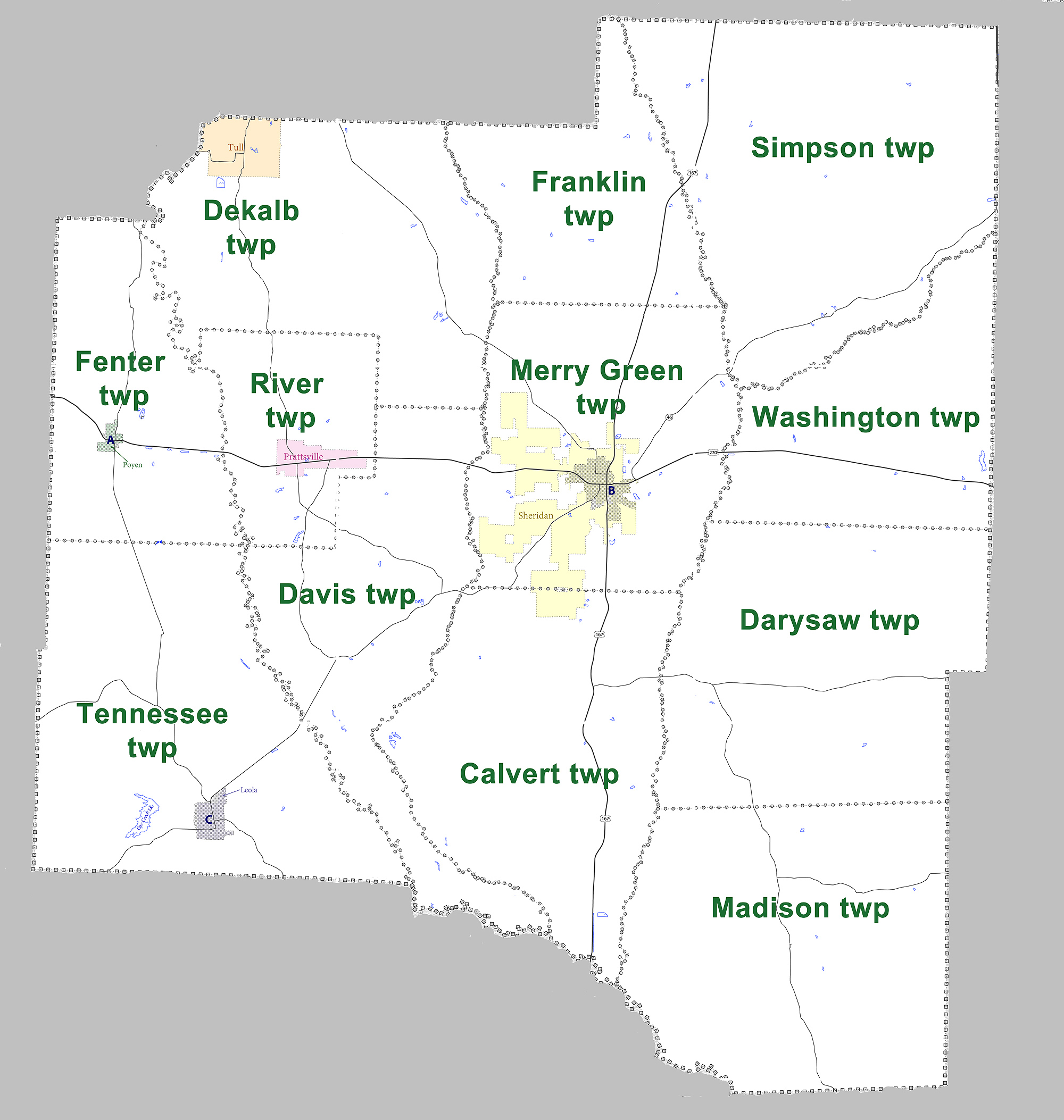
Grant County, officially the County of Grant, is a county in the U.S. state of Arkansas. Its population was 17,958 at the 2020 United States census. The county seat is Sheridan. Grant County is included in the Little Rock-North Little Rock-Conway metropolitan area. It is an alcohol prohibition or dry county. History Established on February 4, 1869, Grant County was named after of U.S. President-elect Ulysses S. Grant. Robert W. Glover, a Missionary Baptist clergyman who served in both houses of the Arkansas General Assembly (1905-1912) from Sheridan, introduced in 1909 the resolution calling for the establishment of four state agricultural colleges. His brother David Delano Glover was a state representative in the 1907 session and a member of the United States House of Representatives from 1929 to 1935, having been unseated in 1934 by Grant County native John Little McClellan who at the time was practicing law in Camden. McClellan later went on to become Arkansas's lo ... [...More Info...] [...Related Items...] OR: [Wikipedia] [Google] [Baidu] |
Pulaski County, Arkansas
Pulaski County is a county in the U.S. state of Arkansas. With a population of 399,125 as of the 2020 United States census, it is the most populous county in Arkansas. The county is included in the Little Rock– North Little Rock–Conway metropolitan area. Its county seat is Little Rock, which is also Arkansas's capital and largest city. Pulaski County is Arkansas's fifth county, formed on December 15, 1818, alongside Clark and Hempstead Counties. Pulaski County is named for Brigadier General Casimir Pulaski, a Polish-born Continental Army officer who was killed in action at the Siege of Savannah during the Revolutionary War. The county was the site of the Battle of Bayou Fourche on September 10, 1863. The Union army took control the same day and occupied Pulaski County until the end of the Civil War. The county was home to Willow Springs Water Park, one of the oldest water parks in the nation, which opened in 1928 and closed in 2013. Geography According to the ... [...More Info...] [...Related Items...] OR: [Wikipedia] [Google] [Baidu] |
Perry County, Arkansas
Perry County is a County (United States), county located in the U.S. state of Arkansas. Its population was 10,019 at the 2020 United States census. The county seat is Perryville, Arkansas, Perryville. The county was formed on December 18, 1840, and named for Commodore Oliver Hazard Perry, naval hero in the War of 1812. It is an alcohol prohibition or dry county. Perry County is included in the Little Rock-North Little Rock-Conway metropolitan area. Geography According to the U.S. Census Bureau, the county has a total area of , of which is land and (1.6%) is water. It is the fourth-smallest county in Arkansas by land area and third-smallest by total area. Major highways * Highway 7 (Arkansas), Highway 7 * Highway 9 (Arkansas), Highway 9 * Highway 10 (Arkansas), Highway 10 * Highway 60 (Arkansas), Highway 60 * Highway 113 (Arkansas), Highway 113 * Highway 300 (Arkansas), Highway 300 Adjacent counties *Conway County, Arkansas, Conway County (north) *Faulkner County, Arkansas, ... [...More Info...] [...Related Items...] OR: [Wikipedia] [Google] [Baidu] |
Arkansas Highway 35
Arkansas Highway 35 (AR 35) is a designation for three List of state highways in Arkansas, state highways in southeast Arkansas. One segment of runs from Macon Lake Road at Dewey north to U.S. Route 278 in Arkansas, U.S. Route 278 (US 278) in Monticello, Arkansas, Monticello. A second segment of runs from U.S. Route 425 in Arkansas, US 425 north to U.S. Route 167, US 167 at Cross Roads. A third segment of runs from U.S. Route 167B (Sheridan, Arkansas), US 167B in Sheridan, Arkansas, Sheridan north to Interstate 30 (I-30) in Benton, Arkansas, Benton. Route description Dewey to Monticello Highway 35 begins at Macon Lake Road at Dewey near the Mississippi River. The route runs through bayous and fields in Chicot County, Arkansas, Chicot County, briefly entering Desha County, Arkansas, Desha County for a junction with Arkansas Highway 159, Highway 159/Arkansas Highway 208, Highway 208 in Halley, Arkansas, Halley. Returning to Chicot County, Highway 35 intersects the four-lane ... [...More Info...] [...Related Items...] OR: [Wikipedia] [Google] [Baidu] |
Arkansas 35
Arkansas Highway 35 (AR 35) is a designation for three state highways in southeast Arkansas. One segment of runs from Macon Lake Road at Dewey north to U.S. Route 278 (US 278) in Monticello. A second segment of runs from US 425 north to US 167 at Cross Roads. A third segment of runs from US 167B in Sheridan north to Interstate 30 (I-30) in Benton. Route description Dewey to Monticello Highway 35 begins at Macon Lake Road at Dewey near the Mississippi River. The route runs through bayous and fields in Chicot County, briefly entering Desha County for a junction with Highway 159/ Highway 208 in Halley. Returning to Chicot County, Highway 35 intersects the four-lane divided US 65/ US 278 and US 165 east of Dermott, before entering the city. Highway 35 serves Dermott as Speedway Street before entering Drew County. The highway runs south of the Seven Devils Swamp WMA along the Arkansas Midland Railroad tracks until Monticello, where it terminates at US 278. Montic ... [...More Info...] [...Related Items...] OR: [Wikipedia] [Google] [Baidu] |
Arkansas Highway 9
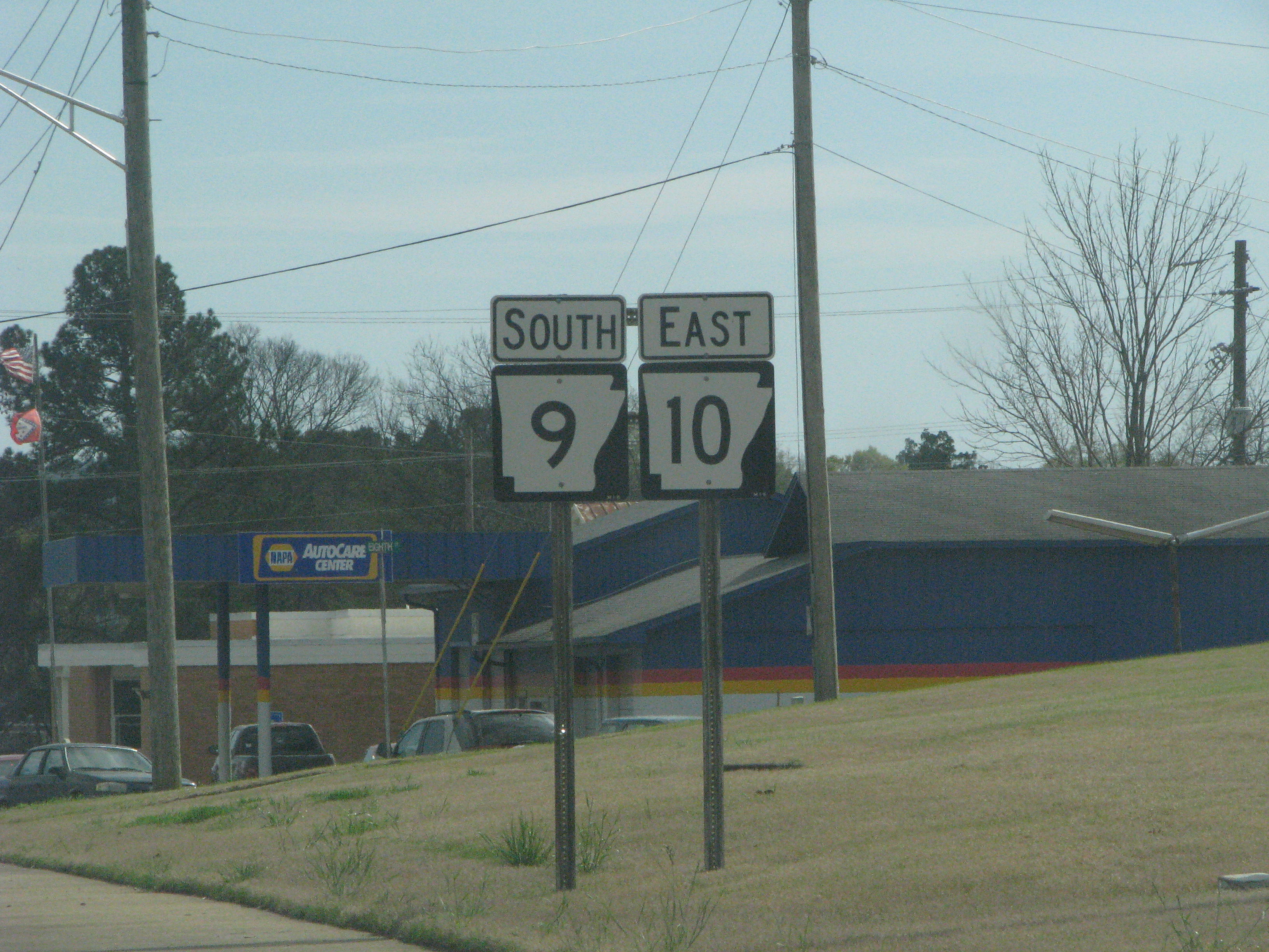
Arkansas Highway 9 (AR 9) is a designation for three state highways in Arkansas. One segment of runs from U.S. Route 79 (US 79) at Eagle Mills north to US 67 in Malvern. A second segment of runs from Highway 5 at Crows north to US 65 at Choctaw. A third segment of runs from US 65 in Clinton north to US 63 in Mammoth Spring. The route was created during the 1926 Arkansas state highway numbering, and has seen only minor extensions and realignments since. Pieces of all three routes are designated as Arkansas Heritage Trails for use during the Civil War and the Trail of Tears. The Highway 9 designation also extends to two spur routes and one business route. All routes are maintained by the Arkansas Department of Transportation (ArDOT). Route description Eagle Mills to Malvern Highway 9 begins at US 79 at Eagle Mills and heads north past numerous quarries and through Holly Springs and past numerous quarries before heading slightly east. The route then passes through P ... [...More Info...] [...Related Items...] OR: [Wikipedia] [Google] [Baidu] |


