|
Sabrina Island
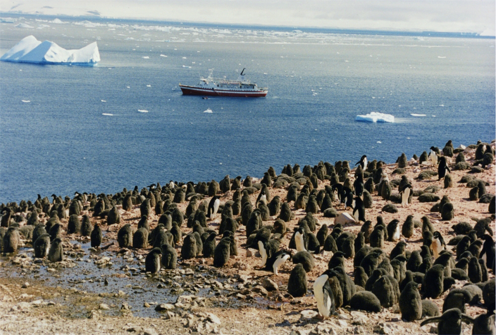
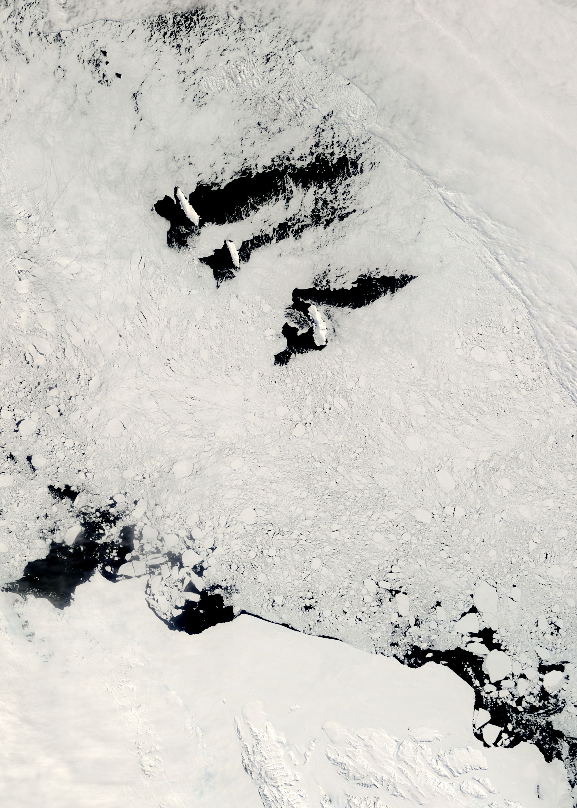
Sabrina Island is the largest of three small islets lying south of Buckle Island in the Balleny Islands of Antarctica and are part of New Zealand's Ross Dependency. Sabrina Island was named after Thomas Freeman's cutter when John Balleny's squadron discovered the islands in 1839. A pair of islets called The Monolith are located off of the island's southern tip. Birds The island has outstanding environmental and scientific value as a representative sample of the Balleny Islands – the only oceanic archipelago located within the main Antarctic Coastal Current. It is a breeding site for chinstrap and Adélie penguins as well as Cape petrels. The site is protected under the Antarctic Treaty System as Antarctic Specially Protected Area An Antarctic Specially Protected Area (ASPA) is an area on the continent of Antarctica, or on nearby islands, which is protected by scientists and several different international bodies. The protected areas were established in 1961 under the An ... [...More Info...] [...Related Items...] OR: [Wikipedia] [Google] [Baidu] |
Antarctica
Antarctica () is Earth's southernmost and least-populated continent. Situated almost entirely south of the Antarctic Circle and surrounded by the Southern Ocean, it contains the geographic South Pole. Antarctica is the fifth-largest continent, being about 40% larger than Europe, and has an area of . Most of Antarctica is covered by the Antarctic ice sheet, with an average thickness of . Antarctica is, on average, the coldest, driest, and windiest of the continents, and it has the highest average elevation. It is mainly a polar desert, with annual precipitation of over along the coast and far less inland. About 70% of the world's freshwater reserves are frozen in Antarctica, which, if melted, would raise global sea levels by almost . Antarctica holds the record for the lowest measured temperature on Earth, . The coastal regions can reach temperatures over in summer. Native species of animals include mites, nematodes, penguins, seals and tardigrades. Where vegetation o ... [...More Info...] [...Related Items...] OR: [Wikipedia] [Google] [Baidu] |
Antarctic Specially Protected Areas
An Antarctic Specially Protected Area (ASPA) is an area on the continent of Antarctica, or on nearby islands, which is protected by scientists and several different international bodies. The protected areas were established in 1961 under the Antarctic Treaty System, which governs all the land and water south of 60 latitude and protects against human development. A permit is required for entry into any ASPA site. The ASPA sites are protected by the governments of Australia, New Zealand, United States, United Kingdom, Chile, France, Argentina, Poland, Russia, Norway, Japan, India, Italy, and Republic of Korea. There are currently 72 sites. List of ASPA sites See also *Antarctic Specially Managed Area An Antarctic Specially Managed Area (ASMA) is a protected area on the continent of Antarctica, or on its adjacent islands. ASMAs are managed by the governments of Brazil, Poland, Ecuador, Peru, United States, New Ze ... [...More Info...] [...Related Items...] OR: [Wikipedia] [Google] [Baidu] |
Islands Of The Balleny Islands
An island (or isle) is an isolated piece of habitat that is surrounded by a dramatically different habitat, such as water. Very small islands such as emergent land features on atolls can be called islets, skerries, cays or keys. An island in a river or a lake island may be called an eyot or ait, and a small island off the coast may be called a holm. Sedimentary islands in the Ganges delta are called chars. A grouping of geographically or geologically related islands, such as the Philippines, is referred to as an archipelago. There are two main types of islands in the sea: continental and oceanic. There are also artificial islands, which are man-made. Etymology The word ''island'' derives from Middle English ''iland'', from Old English ''igland'' (from ''ig'' or ''ieg'', similarly meaning 'island' when used independently, and -land carrying its contemporary meaning; cf. Dutch ''eiland'' ("island"), German ''Eiland'' ("small island")). However, the spelling of the word w ... [...More Info...] [...Related Items...] OR: [Wikipedia] [Google] [Baidu] |
Antarctic Specially Protected Area
An Antarctic Specially Protected Area (ASPA) is an area on the continent of Antarctica, or on nearby islands, which is protected by scientists and several different international bodies. The protected areas were established in 1961 under the Antarctic Treaty System, which governs all the land and water south of 60 latitude and protects against human development. A permit is required for entry into any ASPA site. The ASPA sites are protected by the governments of Australia, New Zealand, United States, United Kingdom, Chile, France, Argentina, Poland, Russia, Norway, Japan, India, Italy, and Republic of Korea. There are currently 72 sites. List of ASPA sites See also *Antarctic Specially Managed Area An Antarctic Specially Managed Area (ASMA) is a protected area on the continent of Antarctica, or on its adjacent islands. ASMAs are managed by the governments of Brazil, Poland, Ecuador, Peru, United States, New Ze ... [...More Info...] [...Related Items...] OR: [Wikipedia] [Google] [Baidu] |
Adélie Penguin
The Adélie penguin (''Pygoscelis adeliae'') is a species of penguin common along the entire coast of the Antarctic continent, which is the only place where it is found. It is the most widespread penguin species, and, along with the emperor penguin, is the most southerly distributed of all penguins. It is named after Adélie Land, in turn named for Adèle Dumont d'Urville, who was married to French explorer Jules Dumont d'Urville, who first discovered this penguin in 1840. Adélie penguins obtain their food by both predation and foraging, with a diet of mainly krill and fish. Taxonomy and systematics The first Adélie penguin specimens were collected by crew members of French explorer Jules Dumont d'Urville on his expedition to Antarctica in the late 1830s and early 1840s. Jacques Bernard Hombron and Honoré Jacquinot, two French surgeons who doubled as naturalists on the journey, described the bird for science in 1841, giving it the scientific name ''Catarrhactes adeli� ... [...More Info...] [...Related Items...] OR: [Wikipedia] [Google] [Baidu] |
The Monolith (islands)
The Monolith is a pair of small islets located off the southern tip of Sabrina Island within the Ross Dependency of Antarctica Antarctica () is Earth's southernmost and least-populated continent. Situated almost entirely south of the Antarctic Circle and surrounded by the Southern Ocean, it contains the geographic South Pole. Antarctica is the fifth-largest contine .... The smaller of the two islets rises at a steep incline to above sea level, and is uninhabited even by penguins which have colonized the other nearby islands. References {{reflist Islands of Antarctica ... [...More Info...] [...Related Items...] OR: [Wikipedia] [Google] [Baidu] |
Balleny Islands
The Balleny Islands () are a series of uninhabited islands in the Southern Ocean extending from 66°15' to 67°35'S and 162°30' to 165°00'E. The group extends for about in a northwest-southeast direction. The islands are heavily glaciated and of volcanic origin. Glaciers project from their slopes into the sea. The islands were formed by the so-called Balleny hotspot. The group includes three main islands: Young, Buckle and Sturge, which lie in a line from northwest to southeast, and several smaller islets and rocks: *northeast of Young Island: Seal Rocks, Pillar *southeast of Young Island: Row Island, Borradaile Island (with Swan Base shelter hut) *south of Buckle Island: Scott Cone, Chinstrap Islet, Sabrina Islet (with Sabrina Refuge shelter hut), and the Monolith The islands are claimed by New Zealand as part of the Ross Dependency (see Territorial claims in Antarctica). Islands and rocks from north to south The islands' area totals and the highest point has been ... [...More Info...] [...Related Items...] OR: [Wikipedia] [Google] [Baidu] |
John Balleny
John Balleny (died 1857) was the English captain of the sealing schooner , who led an exploration cruise for the English whaling firm Samuel Enderby & Sons to the Antarctic in 1838–1839. During the expedition of 1838–1839, Balleny, sailing in company with Thomas Freeman and , sailed into the Southern Ocean along a corridor of longitude centering on the line of 175°E., south of New Zealand. Biography Balleny was born approximately 1770, and by 1798 was living in St George in the East, then the shipping quarter of London, and was part owner of a 569 ton ship, ''Blenheim''. He was recorded as ship's master for a few trading ships up until 1824, including the trading ship ''Lord Cathcart'' and the 269-ton brig ''Peace''. In 1824, he owned part of a whaling barque, ''Caledonia'', but was not longer registered as the master of any ship for the following year, possibly indicating his retirement. Voyage of ''Eliza Scott'' Samuel Enderby & Sons had sent two unsuccessful expeditions towa ... [...More Info...] [...Related Items...] OR: [Wikipedia] [Google] [Baidu] |
Ross Dependency
The Ross Dependency is a region of Antarctica defined by a sector originating at the South Pole, passing along longitudes 160° east to 150° west, and terminating at latitude 60° south. It is claimed by New Zealand, a claim accepted only by the other six countries with territorial claims in Antarctica. Under the 1961 Antarctic Treaty, of which all territorial claimants are signatories, including New Zealand, all claims are held in abeyance. Article IV states: "No acts or activities taking place while the present Treaty is in force shall constitute a basis for asserting, supporting or denying a claim to territorial sovereignty in Antarctica or create any rights of sovereignty in Antarctica". The Dependency takes its name from Sir James Clark Ross, who discovered the Ross Sea, and includes part of Victoria Land, and most of the Ross Ice Shelf. Ross, Balleny, Scott and Roosevelt Islands also form part of the Dependency. History of claim Following his discovery of Victo ... [...More Info...] [...Related Items...] OR: [Wikipedia] [Google] [Baidu] |


