|
SS Irex
''Irex'' was a sailing vessel wrecked at Scratchell's Bay on the Isle of Wight by The Needles on 25 January 1890, while on her maiden voyage. Ship history ''Irex'' was built by J. Reid & Co. of Port Glasgow, and launched on 10 October 1889. The steel-hulled three-masted ship was long, and in the beam. On 24 December 1889 ''Irex'' sailed from Greenock, bound for Rio de Janeiro, under the command of Captain Hutton, carrying a cargo of 3,600 tons of iron sewerage pipes. However, storms meant that she was obliged to shelter in Belfast Lough until 1 January 1890. She sailed again, but the winds reached hurricane strength, and she attempted to take shelter in Falmouth on the 24th, but was unable to get a pilot boat to guide her in, so continued up the English Channel towards Portland. As ''Irex'' approached the Needles, Hutton mistook the Needles Lighthouse for a light from a pilot boat, and drove his ship up onto the shore at about 10 p.m. Large waves broke over the ship, and ... [...More Info...] [...Related Items...] OR: [Wikipedia] [Google] [Baidu] |
Port Glasgow
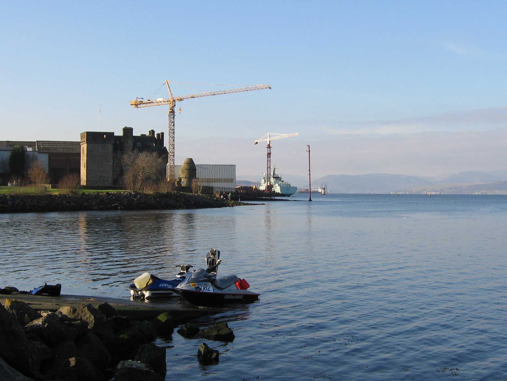
Port Glasgow ( gd, Port Ghlaschu, ) is the second-largest town in the Inverclyde council area of Scotland. The population according to the 1991 census for Port Glasgow was 19,426 persons and in the 2001 census was 16,617 persons. The most recent census in 2011 states that the population has declined to 15,414. It is located immediately to the east of Greenock and was previously a burgh in the county of Renfrewshire. Originally a fishing hamlet named Newark, Port Glasgow came about as a result of large ships being unable to navigate the shallow and meandering River Clyde to the centre of the city of Glasgow. As a result, it was formed as a remote port for Glasgow in 1668, and became known as 'New Port Glasgow', which was shortened to 'Port Glasgow' in 1775. Port Glasgow was home to dry docks and shipbuilding beginning in 1780. The town grew from the central area of the present town and thus many of the town's historic buildings and people are found here. Port Glasgow expanded up ... [...More Info...] [...Related Items...] OR: [Wikipedia] [Google] [Baidu] |
Portland Harbour
Portland Harbour is located beside the Isle of Portland, Dorset, on the south coast of England. Construction of the harbour began in 1849; when completed in 1872, its surface area made it the largest man-made harbour in the world, and remains one of the largest in the world today. It is naturally protected by Portland to the south, Chesil Beach to the west and mainland Dorset to the north. It consists of four breakwaters — two southern and two northern. These have a total length of and enclose approximately of water. Portland Harbour was built by the Admiralty as a facility for the Royal Navy (though access was also available to merchant ships); on 11 December 1923 it was formally designated HM Naval Base (HMNB) Portland, and continued to serve as such until closure in 1995. History Creation of harbour of refuge (1844–1872) The original harbour was naturally protected by the south coast of England, Chesil Beach and the Isle of Portland, providing refuge for ships aga ... [...More Info...] [...Related Items...] OR: [Wikipedia] [Google] [Baidu] |
Victorian-era Merchant Ships Of The United Kingdom
In the history of the United Kingdom and the British Empire, the Victorian era was the period of Queen Victoria's reign, from 20 June 1837 until her death on 22 January 1901. The era followed the Georgian period and preceded the Edwardian period, and its later half overlaps with the first part of the ''Belle Époque'' era of Continental Europe. There was a strong religious drive for higher moral standards led by the nonconformist churches, such as the Methodists and the evangelical wing of the established Church of England. Ideologically, the Victorian era witnessed resistance to the rationalism that defined the Georgian period, and an increasing turn towards romanticism and even mysticism in religion, social values, and arts. This era saw a staggering amount of technological innovations that proved key to Britain's power and prosperity. Doctors started moving away from tradition and mysticism towards a science-based approach; medicine advanced thanks to the adoption ... [...More Info...] [...Related Items...] OR: [Wikipedia] [Google] [Baidu] |
Ships Built On The River Clyde
A ship is a large watercraft that travels the world's oceans and other sufficiently deep Sea lane, waterways, carrying cargo or passengers, or in support of specialized missions, such as defense, research, and fishing. Ships are generally distinguished from boats, based on size, shape, load capacity, and purpose. Ships have supported exploration, trade, Naval warfare, warfare, Human migration, migration, colonization, and science. After the 15th century, Columbian Exchange, new crops that had come from and to the Americas via the European seafarers significantly contributed to world population growth. Ship transport is responsible for the largest portion of world commerce. The word ''ship'' has meant, depending on the era and the context, either just a large vessel or specifically a Full-rigged ship, ship-rigged sailing ship with three or more masts, each of which is Square rig, square-rigged. As of 2016, there were more than 49,000 merchant ships, totaling almost 1.8 billion ... [...More Info...] [...Related Items...] OR: [Wikipedia] [Google] [Baidu] |
1889 Ships
Events January–March * January 1 ** The total solar eclipse of January 1, 1889 is seen over parts of California and Nevada. ** Paiute spiritual leader Wovoka experiences a vision, leading to the start of the Ghost Dance movement in the Dakotas. * January 4 – An Act to Regulate Appointments in the Marine Hospital Service of the United States is signed by President Grover Cleveland. It establishes a Commissioned Corps of officers, as a predecessor to the modern-day U.S. Public Health Service Commissioned Corps. * January 5 – Preston North End F.C. is declared the winner of the inaugural Football League in England. * January 8 – Herman Hollerith receives a patent for his electric tabulating machine in the United States. * January 15 – The Coca-Cola Company is originally incorporated as the Pemberton Medicine Company in Atlanta, Georgia. * January 22 – Columbia Phonograph is formed in Washington, D.C. * January 30 – Rudolf, Crown Prince of Austria and his mist ... [...More Info...] [...Related Items...] OR: [Wikipedia] [Google] [Baidu] |
Breeches Buoy
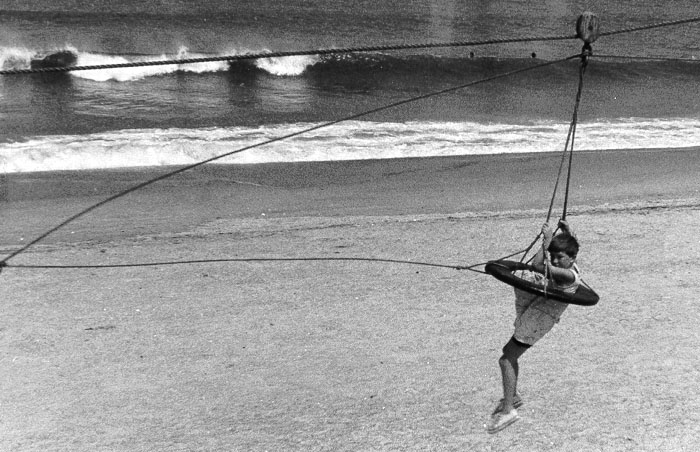
A breeches buoy is a rope-based rescue device used to extract people from wrecked vessels, or to transfer people from one place to another in situations of danger. The device resembles a round emergency personal flotation device with a leg harness attached. It is similar to a zip line. The breeches buoy may be deployed from shore to ship, ship to ship, or ship to shore using a Manby mortar, rocket, kite system, or a Lyle gun, and allowed evacuations of one person at a time. A line is attached to the ship, and the person being rescued is pulled to shore in the breeches buoy. History An early rescue using the equipment took place in 1866. The correspondent of the Scotsman, wrote :— Described as the first use of the apparatus, a re-enactment took place 150 years later. Eventually the Manby mortar was replaced by rockets to shoot lines to ships in distress. In 1967 a documentary on the inventor George Manby was made. Locations included Denver, Downham Market and Great Y ... [...More Info...] [...Related Items...] OR: [Wikipedia] [Google] [Baidu] |
Hawser
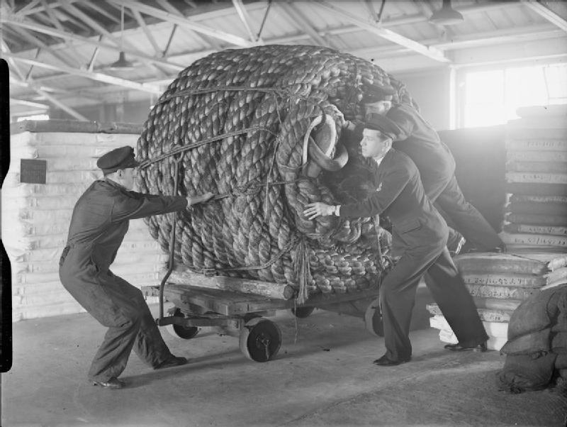
Hawser () is a nautical term for a thick cable or rope used in mooring or towing a ship. A hawser passes through a hawsehole, also known as a cat hole, located on the hawse.The American Heritage Dictionary of the English Language, third edition, Houghton Mifflin The asterisk ( ), from Late Latin , from Ancient Greek , ''asteriskos'', "little star", is a typographical symbol. It is so called because it resembles a conventional image of a heraldic star. Computer scientists and mathematicians often voc ... Company, pp. 829–30, References External links * {{Authority control Shipbuilding Sailboat components Sailing ship components Nautical terminology ... [...More Info...] [...Related Items...] OR: [Wikipedia] [Google] [Baidu] |
Her Majesty's Coastguard
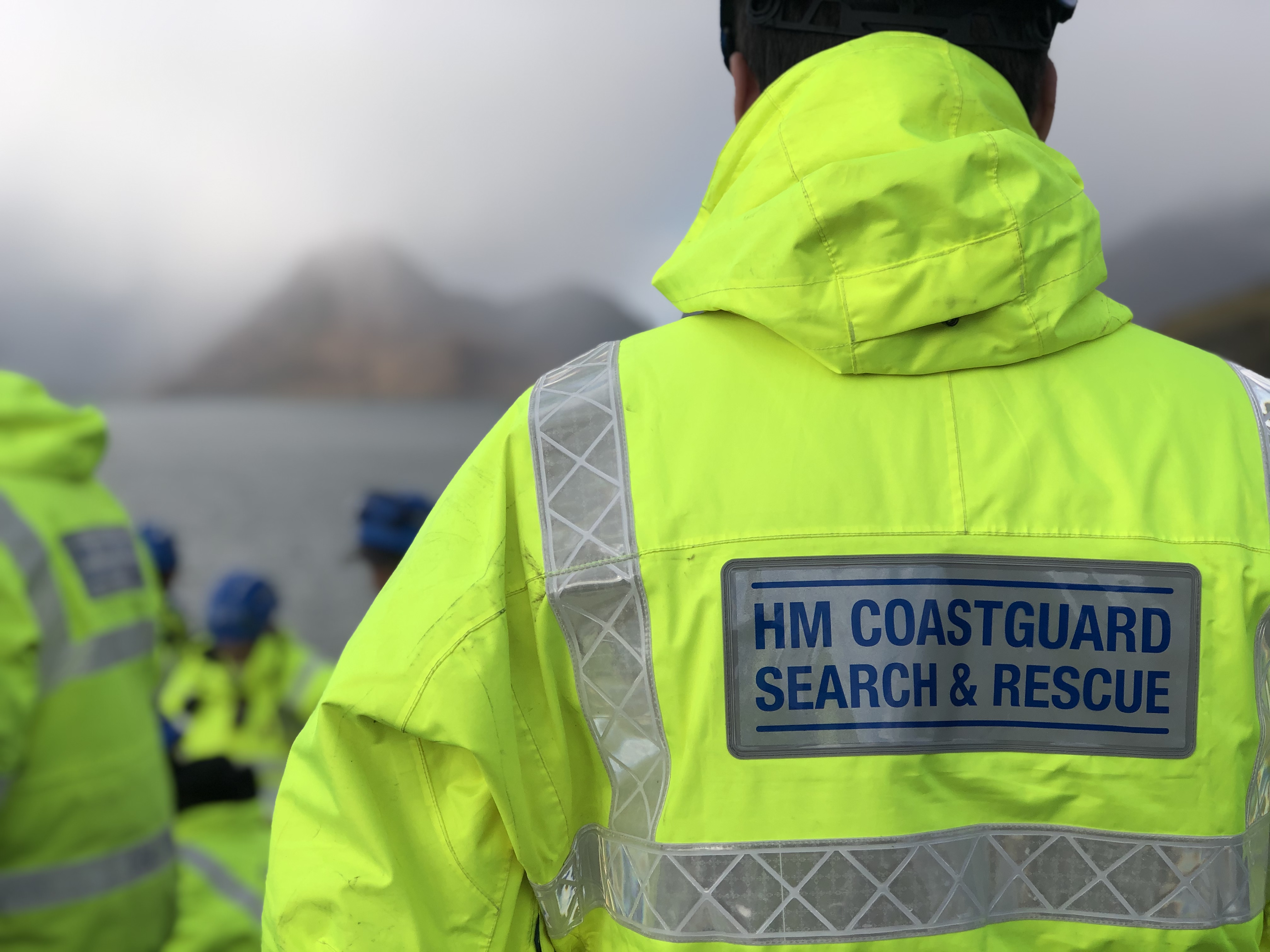
His Majesty's Coastguard (HMCG) is a section of the Maritime and Coastguard Agency responsible, through the Secretary of State for Transport to Parliament, for the initiation and co-ordination of all maritime search and rescue (SAR) within the UK Maritime Search and Rescue Region. This includes the mobilisation, organisation and tasking of adequate resources to respond to persons either in distress at sea, or to persons at risk of injury or death on the cliffs or shoreline of the United Kingdom. It is also responsible for land based search and rescue helicopter operations from 2015. The chief executive of the Maritime and Coastguard Agency is Brian Johnson. Operational control of the service is the responsibility of the Director of HM Coastguard, Claire Hughes. His Majesty's Coastguard is not a military force nor law enforcement agency, with coastal defence being the responsibility of the Royal Navy, law enforcement being the responsibility of the local territorial police for ... [...More Info...] [...Related Items...] OR: [Wikipedia] [Google] [Baidu] |
Totland
Totland is a village, civil parish and electoral ward on the Isle of Wight. Besides the village of Totland, the civil parish comprises the western tip of the Isle of Wight, and includes The Needles, Tennyson Down and the hamlet of Middleton. The village of Totland lies on the Western peninsula where the Western Yar almost cuts through along with Alum Bay and Freshwater. It lies on the coast at Colwell Bay, which is the closest part of the island to the British mainland. Today It is linked to other parts of the island by Southern Vectis buses on route 7, and route 12 serving Freshwater, Yarmouth and Newport including intermediate villages. In the summer, open-top bus " The Needles Tour" also serves the village. Christ Church, Totland is the Church of England parish. Environmental concerns During Christmas 2012, a large landslip overran a section of the sea wall between Totland Bay and adjacent Colwell Bay, also blocking the walkway which ran along the top of the wall. The lo ... [...More Info...] [...Related Items...] OR: [Wikipedia] [Google] [Baidu] |
The Needles Batteries
The Needles Batteries are two military batteries built above the Needles stacks to guard the West end of the Solent. The field of fire was from approximately West South West clockwise to Northeast and they were designed to defend against enemy ships. Old Battery The Old Battery was constructed between 1861 and 1863. It was equipped with six 7-inch Armstrong rifled breechloading guns. These were replaced by four 7-inch and two 9-inch rifled muzzle loaders in 1872, and six 9-inch rifled muzzle loaders in 1893. The 9 inch guns took a team of 9 men to load and fire. These guns fired projectiles weighing . The 9-inch guns remained in place until 1903 when they were discarded by throwing them over the side of the cliff. These were later recovered and two are now on display at the Old Battery.History of the Old Battery [...More Info...] [...Related Items...] OR: [Wikipedia] [Google] [Baidu] |
Needles Lighthouse
The Needles Lighthouse is an active 19th century lighthouse on the outermost of the chalk rocks at The Needles on the Isle of Wight in the United Kingdom, near sea level. Designed by James Walker, for Trinity House at a cost of £20,000. It was completed in 1859 from granite blocks, stands high and is a circular tower with straight sides. It replaced an earlier light tower on top of a cliff overhanging Scratchell's Bay, which was first lit on 29 September 1786. The first lighthouse In 1781 a group of merchants and ship owners petitioned Trinity House for navigation lights to be provided around the western approaches to the Solent. The response was positive, but it was not until 1785 that construction began, on three new lighthouses: one on the clifftop above the Needles, one on Hurst Point and one on St Catherine's Down (which was left unfinished and never lit); all three were designed by Richard Jupp. From September the following year the Needles light was operational. It w ... [...More Info...] [...Related Items...] OR: [Wikipedia] [Google] [Baidu] |
Falmouth, Cornwall
Falmouth ( ; kw, Aberfala) is a town, civil parish and port on the River Fal on the south coast of Cornwall, England, United Kingdom. It has a total resident population of 21,797 (2011 census). Etymology The name Falmouth is of English origin, a reference to the town's situation on the mouth of the River Fal. The Cornish language name, ' or ', is of identical meaning. It was at one time known as ''Pennycomequick'', an Anglicisation of the Celtic ''Pen-y-cwm-cuic'' "head of the creek"; this is the same as Pennycomequick, a district in Plymouth. History Early history In 1540, Henry VIII built Pendennis Castle in Falmouth to defend Carrick Roads. The main town of the district was then at Penryn. Sir John Killigrew created the town of Falmouth shortly after 1613. In the late 16th century, under threat from the Spanish Armada, the defences at Pendennis were strengthened by the building of angled ramparts. During the Civil War, Pendennis Castle was the second to las ... [...More Info...] [...Related Items...] OR: [Wikipedia] [Google] [Baidu] |


