|
Rockfield, Highland
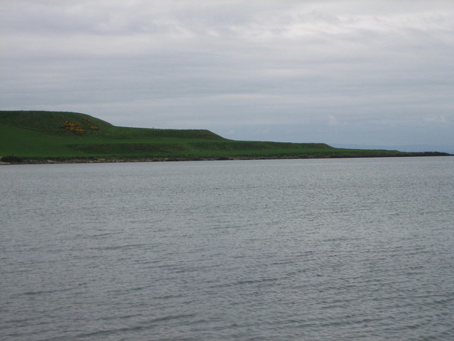
Rockfield ( gd, Creag Tarail Bhig) is a hamlet in the parish of Tarbat, on the Tarbat Peninsula, near the village of Portmahomack, Easter Ross, Highland, Scotland. There is a small stone jetty and the traditional way of life included fishing and agriculture. Rockfield is generally east-facing, below the level of a raised beach. Coastal Walks Rockfield is a good place to start or finish a coastal walk. In a south-south-west direction you can walk from Rockfield to the Seaboard Village of Balintore. In a north-north-east direction you can walk from Rockfield to Tarbat Ness, round the headland and return to Portmahomack on the other side of the peninsula. Rockfield to Balintore This walk places the Moray Firth on your left with the opportunity to observe dolphins and occasional whales. The distance is reported as 8.5 km with modest changes in elevation. Rockfield to Tarbat Ness and on to Portmahomack This walk may be broken into two halves. The first half, from Roc ... [...More Info...] [...Related Items...] OR: [Wikipedia] [Google] [Baidu] |
Highland (council Area)
Highland ( gd, A' GhĂ idhealtachd, ; sco, Hieland) is a council area in the Scottish Highlands and is the largest local government area in the United Kingdom. It was the 7th most populous council area in Scotland at the 2011 census. It shares borders with the council areas of Aberdeenshire, Argyll and Bute, Moray and Perth and Kinross. Their councils, and those of Angus and Stirling, also have areas of the Scottish Highlands within their administrative boundaries. The Highland area covers most of the mainland and inner-Hebridean parts of the historic counties of Inverness-shire and Ross and Cromarty, all of Caithness, Nairnshire and Sutherland and small parts of Argyll and Moray. Despite its name, the area does not cover the entire Scottish Highlands. Name Unlike the other council areas of Scotland, the name ''Highland'' is often not used as a proper noun. The council's website only sometimes refers to the area as being ''Highland'', and other times as being ''the Hig ... [...More Info...] [...Related Items...] OR: [Wikipedia] [Google] [Baidu] |
Tain
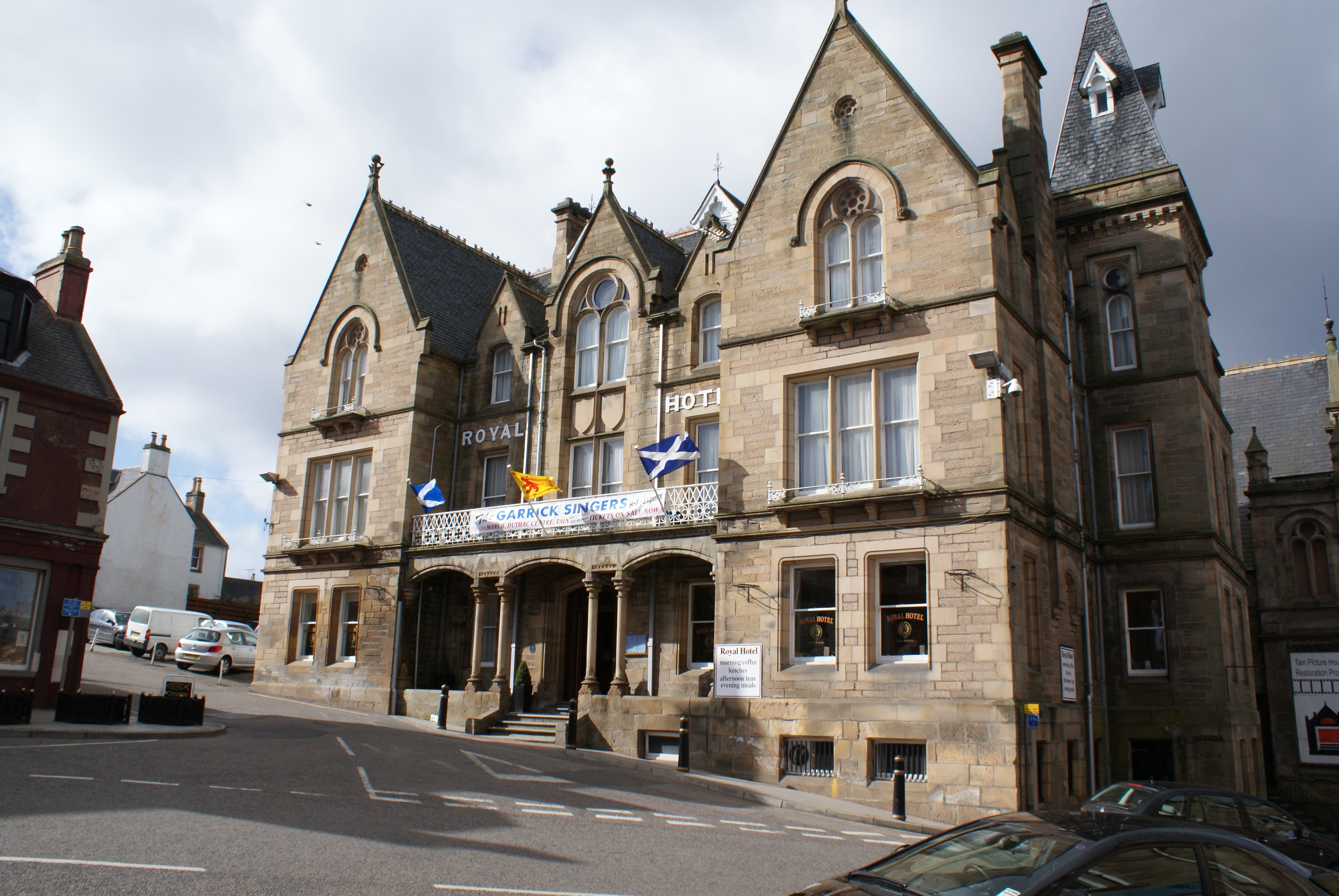
Tain ( Gaelic: ''Baile Dhubhthaich'') is a royal burgh and parish in the County of Ross, in the Highlands of Scotland. Etymology The name derives from the nearby River Tain, the name of which comes from an Indo-European root meaning 'flow'. The Gaelic name, ''Baile Dubhthaich'', means 'Duthac's town', after a local saint also known as Duthus. History Tain was granted its first royal charter in 1066, making it Scotland's oldest royal burgh, commemorated in 1966 with the opening of the Rose Garden by Queen Elizabeth, the Queen Mother. The 1066 charter, granted by King Malcolm III, confirmed Tain as a sanctuary, where people could claim the protection of the church, and an immunity, in which resident merchants and traders were exempt from certain taxes. Little is known of earlier history although the town owed much of its importance to Duthac. He was an early Christian figure, perhaps 8th or 9th century, whose shrine had become so important by 1066 that it resulted in the royal ch ... [...More Info...] [...Related Items...] OR: [Wikipedia] [Google] [Baidu] |
Tarbat
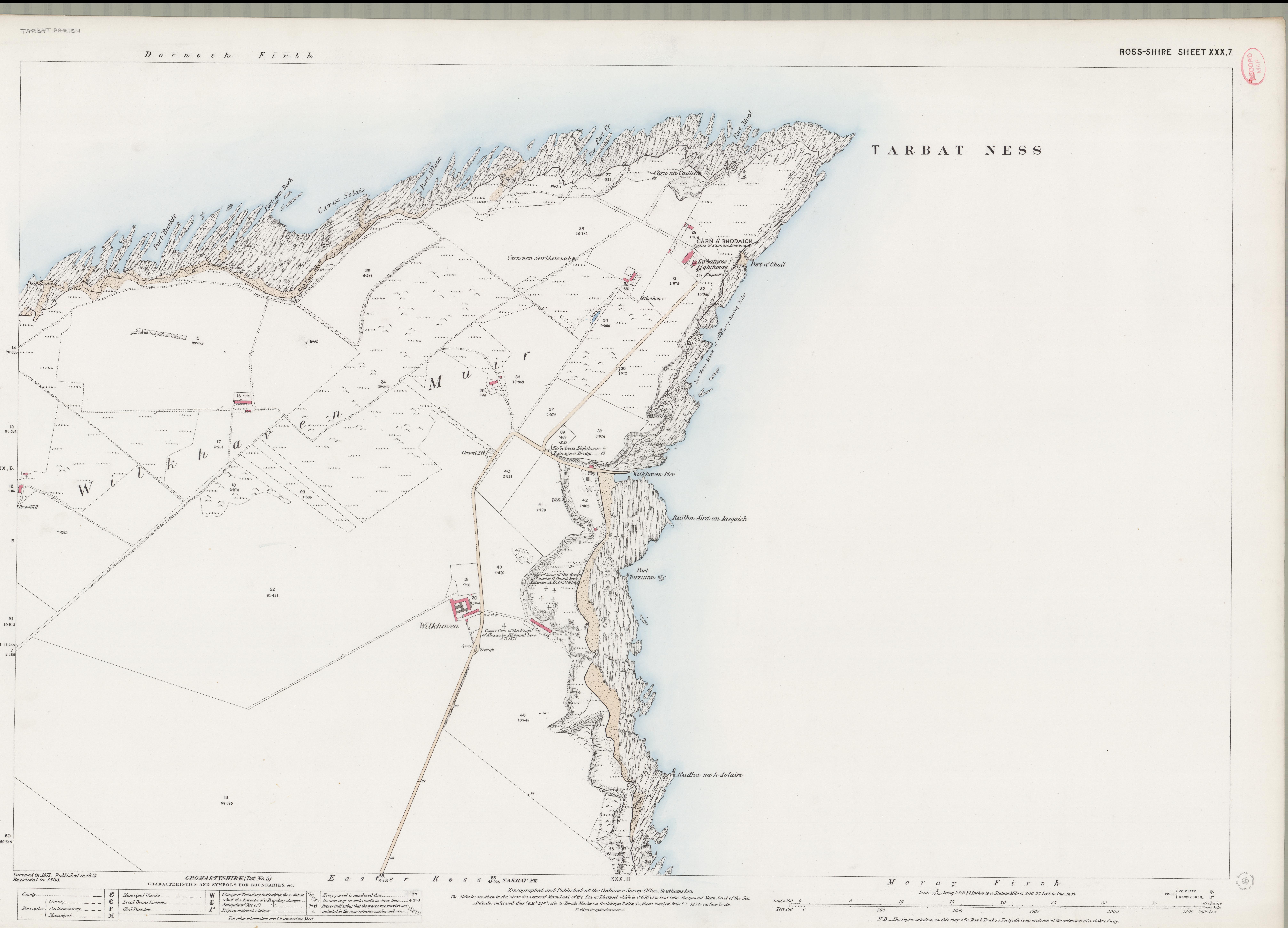
Tarbat (Gaelic , meaning 'a crossing or isthmus'Place-names of Ross and Cromarty, by W J Watson, publ. The Northern Counties Printing and Publishing Co. Ltd., Inverness 1904; p.45) is a civil parish in Highland, Scotland, in the north-east corner of Ross and Cromarty. The parish is a promontory between Dornoch Firth to the north-west and Moray Firth to the east, while to the south it borders the parish of Fearn.Ordnance Gazetteer of Scotland: A survey of Scottish Topography statistical biographical and historical, by Francis H. Groome; publ. Thomas C. Jack, Edinburgh, 1882 - 1885. (Article on Tarbat) The peninsula is relatively flat, the highest point being the hill adjacent to Geanies House which reaches , on the southern border of the parish.Historic Environment Scotland Portal website (Article on Geanies House) portal.historicenvironment.scot/designation/GDL00217 Retrieved April 2021Ordnance Survey series 1 in. to 1 mile Sheet 22 - Dornoch, Publ. 1965 The coast along the D ... [...More Info...] [...Related Items...] OR: [Wikipedia] [Google] [Baidu] |
Portmahomack
Portmahomack ( gd, Port Mo Chalmaig; 'Haven of My .e. 'Saint'ColmĂłc') is a small fishing village in Easter Ross, Scotland. It is situated in the Tarbat Peninsula in the parish of Tarbat. Tarbat Ness Lighthouse is about from the village at the end of the Tarbat Peninsula. Ballone Castle lies about from the village. There is evidence of early settlement, and the area seems to have been the site of significant activity during the time of the Picts, early Christianity and the Vikings. The village is situated on a sandy bay and has a small harbour designed by Thomas Telford: it shares with Hunstanton the unusual distinction of being on the east coast but facing west. Portmahomack lies inside the Moray Firth Special Area of Conservation with the associated dolphin and whale watching activity. The village has a primary school, golf course, hotel, a number of places to eat and a shop with a sub-post office. The nearest rail access is at Fearn railway station and the nearest ... [...More Info...] [...Related Items...] OR: [Wikipedia] [Google] [Baidu] |
Easter Ross
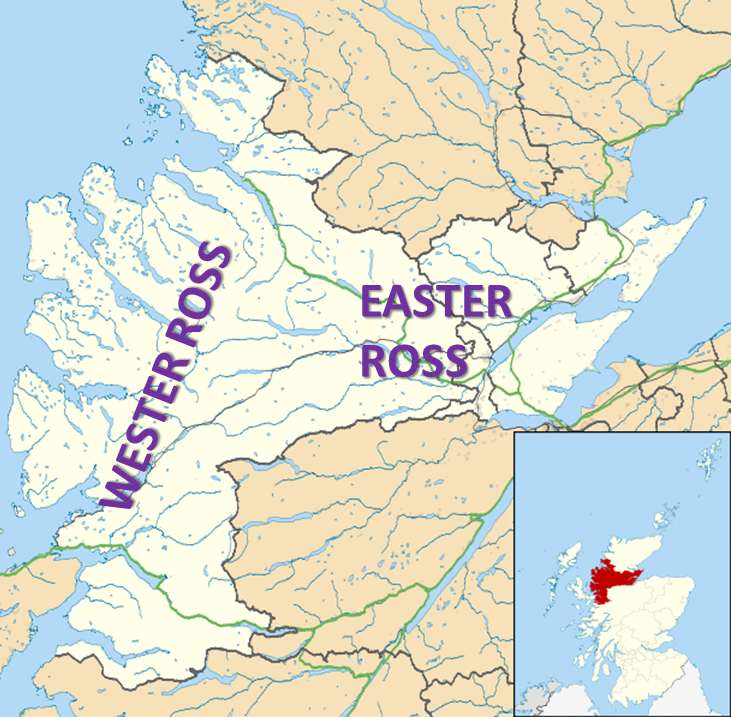
Easter Ross ( gd, Ros an Ear) is a loosely defined area in the east of Ross, Highland, Scotland. The name is used in the constituency name Caithness, Sutherland and Easter Ross, which is the name of both a British House of Commons constituency and a Scottish Parliament constituency. The two constituencies have however different boundaries. Settlements Places in Easter Ross include: * Alness * Dingwall (included in some contexts in the term ''Easter Ross'', though in some contexts it refers to the area to the north-east of Dingwall) * Evanton * Invergordon * Kildary * Milntown of Tarbat (Milton) * Portmahomack * The Seaboard villages: ** Balintore ** Hilton of Cadboll ** Shandwick * Tain Easter Ross is well known for Black Isle and its towns: Avoch, Rosemarkie, Fortrose, and Cromarty. See also * Black Isle * Ross and Cromarty * Ross-shire * Wester Ross Wester Ross () is an area of the Northwest Highlands of Scotland in the council area of Highland. The area is loosel ... [...More Info...] [...Related Items...] OR: [Wikipedia] [Google] [Baidu] |
Scottish Highlands
The Highlands ( sco, the Hielands; gd, a’ Ghà idhealtachd , 'the place of the Gaels') is a historical region of Scotland. Culturally, the Highlands and the Lowlands diverged from the Late Middle Ages into the modern period, when Lowland Scots replaced Scottish Gaelic throughout most of the Lowlands. The term is also used for the area north and west of the Highland Boundary Fault, although the exact boundaries are not clearly defined, particularly to the east. The Great Glen divides the Grampian Mountains to the southeast from the Northwest Highlands. The Scottish Gaelic name of ' literally means "the place of the Gaels" and traditionally, from a Gaelic-speaking point of view, includes both the Western Isles and the Highlands. The area is very sparsely populated, with many mountain ranges dominating the region, and includes the highest mountain in the British Isles, Ben Nevis. During the 18th and early 19th centuries the population of the Highlands rose to around 300,000, but ... [...More Info...] [...Related Items...] OR: [Wikipedia] [Google] [Baidu] |
Scotland
Scotland (, ) is a country that is part of the United Kingdom. Covering the northern third of the island of Great Britain, mainland Scotland has a border with England to the southeast and is otherwise surrounded by the Atlantic Ocean to the north and west, the North Sea to the northeast and east, and the Irish Sea to the south. It also contains more than 790 islands, principally in the archipelagos of the Hebrides and the Northern Isles. Most of the population, including the capital Edinburgh, is concentrated in the Central Belt—the plain between the Scottish Highlands and the Southern Uplands—in the Scottish Lowlands. Scotland is divided into 32 administrative subdivisions or local authorities, known as council areas. Glasgow City is the largest council area in terms of population, with Highland being the largest in terms of area. Limited self-governing power, covering matters such as education, social services and roads and transportation, is devolved from the Scott ... [...More Info...] [...Related Items...] OR: [Wikipedia] [Google] [Baidu] |
Jetty
A jetty is a structure that projects from land out into water. A jetty may serve as a breakwater, as a walkway, or both; or, in pairs, as a means of constricting a channel. The term derives from the French word ', "thrown", signifying something thrown out. For regulating rivers Another form of jetties, wing dams are extended out, opposite one another, ''from each bank of a river'', at intervals, to contract a wide channel, and by concentration of the current to produce a deepening. At the outlet of tideless rivers Jetties have been constructed on each side of the outlet river of some of the rivers flowing into the Baltic, with the objective of prolonging the scour of the river and protecting the channel from being shoaled by the littoral drift along the shore. Another application of parallel jetties is in lowering the bar in front of one of the mouths of a deltaic river flowing into a tide — a virtual prolongation of its less sea, by extending the scour of the rive ... [...More Info...] [...Related Items...] OR: [Wikipedia] [Google] [Baidu] |
Fishing
Fishing is the activity of trying to catch fish. Fish are often caught as wildlife from the natural environment, but may also be caught from stocked bodies of water such as ponds, canals, park wetlands and reservoirs. Fishing techniques include hand-gathering, spearing, netting, angling, shooting and trapping, as well as more destructive and often illegal techniques such as electrocution, blasting and poisoning. The term fishing broadly includes catching aquatic animals other than fish, such as crustaceans ( shrimp/ lobsters/crabs), shellfish, cephalopods (octopus/squid) and echinoderms ( starfish/ sea urchins). The term is not normally applied to harvesting fish raised in controlled cultivations ( fish farming). Nor is it normally applied to hunting aquatic mammals, where terms like whaling and sealing are used instead. Fishing has been an important part of human culture since hunter-gatherer times, and is one of the few food production activities that have persisted ... [...More Info...] [...Related Items...] OR: [Wikipedia] [Google] [Baidu] |
Agriculture
Agriculture or farming is the practice of cultivating plants and livestock. Agriculture was the key development in the rise of sedentary human civilization, whereby farming of domesticated species created food surpluses that enabled people to live in cities. The history of agriculture began thousands of years ago. After gathering wild grains beginning at least 105,000 years ago, nascent farmers began to plant them around 11,500 years ago. Sheep, goats, pigs and cattle were domesticated over 10,000 years ago. Plants were independently cultivated in at least 11 regions of the world. Industrial agriculture based on large-scale monoculture in the twentieth century came to dominate agricultural output, though about 2 billion people still depended on subsistence agriculture. The major agricultural products can be broadly grouped into foods, fibers, fuels, and raw materials (such as rubber). Food classes include cereals (grains), vegetables, fruits, cooking oils, meat, milk, ... [...More Info...] [...Related Items...] OR: [Wikipedia] [Google] [Baidu] |
Raised Beach
A raised beach, coastal terrace,Pinter, N (2010): 'Coastal Terraces, Sealevel, and Active Tectonics' (educational exercise), from 2/04/2011/ref> or perched coastline is a relatively flat, horizontal or gently inclined surface of marine origin,Pirazzoli, PA (2005a): 'Marine Terraces', in Schwartz, ML (ed) ''Encyclopedia of Coastal Science.'' Springer, Dordrecht, pp. 632–633 mostly an old abrasion platform which has been lifted out of the sphere of wave activity (sometimes called "tread"). Thus, it lies above or under the current sea level, depending on the time of its formation.Strahler AH; Strahler AN (2005): ''Physische Geographie.'' Ulmer, Stuttgart, 686 p.Leser, H (ed)(2005): ‚''Wörterbuch Allgemeine Geographie.'' Westermann&Deutscher Taschenbuch Verlag, Braunschweig, 1119 p. It is bounded by a steeper ascending slope on the landward side and a steeper descending slope on the seaward side (sometimes called "riser"). Due to its generally flat shape, it is often used for a ... [...More Info...] [...Related Items...] OR: [Wikipedia] [Google] [Baidu] |
Balintore, Easter Ross
Balintore (from the gd, Baile an Todhair meaning "The Bleaching Town") is a village near Tain in Easter Ross, Scotland. It is one of three villages on this northern stretch of the Moray Firth coastline - Hilton, Balintore, and Shandwick are known collectively as the Seaboard Villages. Local employment has long been based on fishing, but this is now only a small part of the local economy. Balintore has a large harbour, built c.1890. With a shop, post office and pharmacy, Balintore holds a small but friendly community. Balintore always had a very busy village hall which was a meeting point for villagers and consisted of many dances, plays, sales and the occasional whist drive. The previous village hall was knocked down and the land was renovated into the hall we know today which includes a café. The Old Scout Hut has also recently been renovated next to the newly installed play park. On the sea front there is a plaque in commemoration of John Ross (missionary) John Ross (1842†... [...More Info...] [...Related Items...] OR: [Wikipedia] [Google] [Baidu] |


.jpg)


