|
Riverside Park, Ottawa
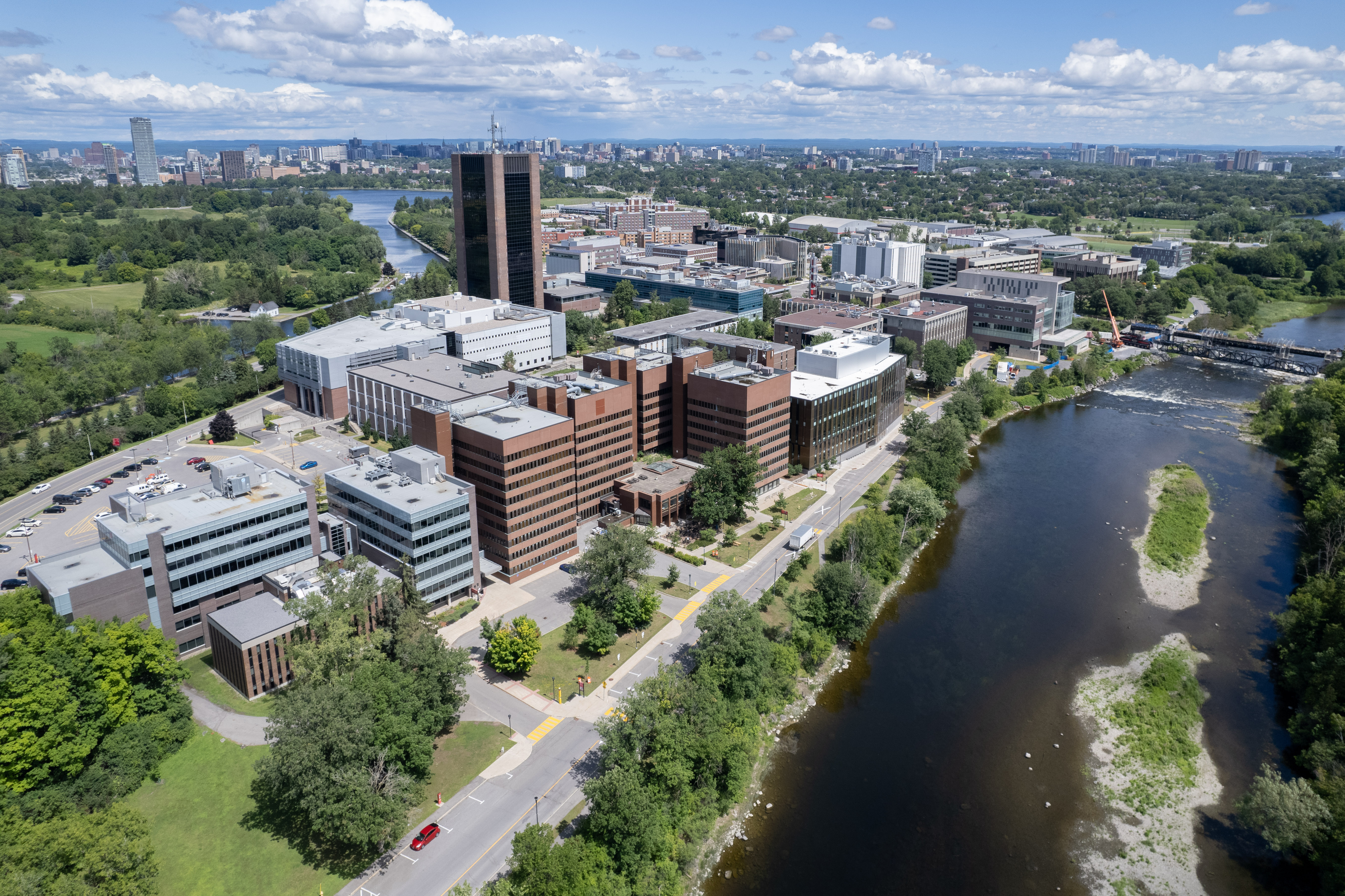
Riverside Park is a neighbourhood in the south end of Ottawa, Canada. It is bounded on the north by Brookfield Road, on the east by the Airport Parkway, on the south by the CN rail tracks and on the west by the Rideau River. The neighbourhood includes one of Ottawa's most well known beaches at Mooney's Bay and the Terry Fox Athletic Facility, along with both Vincent Massey Park, Hog's Back Park. Confederation Heights sits at the northern tip of the neighbourhood. It also includes the Ottawa Hunt and Golf Club, which has hosted professional and amateur golf tournaments. The area is served by Brookfield High School and the General Vanier, Bayview Public Schools, Georges Étienne Cartier as well as the Holy Cross Catholic School. In addition to Mooney's Bay, the area is served by four other parks; Paget Park, Marble Park, Flannery Park and Pauline Vanier Park, adjacent to General Vanier Public School. In August 2007, Bayview Public School was closed at its site on Rive ... [...More Info...] [...Related Items...] OR: [Wikipedia] [Google] [Baidu] |
Ottawa
Ottawa (, ; Canadian French: ) is the capital city of Canada. It is located at the confluence of the Ottawa River and the Rideau River in the southern portion of the province of Ontario. Ottawa borders Gatineau, Quebec, and forms the core of the Ottawa–Gatineau census metropolitan area (CMA) and the National Capital Region (NCR). Ottawa had a city population of 1,017,449 and a metropolitan population of 1,488,307, making it the fourth-largest city and fourth-largest metropolitan area in Canada. Ottawa is the political centre of Canada and headquarters to the federal government. The city houses numerous foreign embassies, key buildings, organizations, and institutions of Canada's government, including the Parliament of Canada, the Supreme Court, the residence of Canada's viceroy, and Office of the Prime Minister. Founded in 1826 as Bytown, and incorporated as Ottawa in 1855, its original boundaries were expanded through numerous annexations and were ultimately ... [...More Info...] [...Related Items...] OR: [Wikipedia] [Google] [Baidu] |
Paget Park
Paget is a surname of Anglo-Norman origin which may refer to: * Lord Alfred Paget (1816–1888), British soldier, courtier and politician * Almeric Paget, 1st Baron Queenborough (1861–1949), British cowboy, industrialist, yachtsman and politician * Sir Arthur Paget (British Army officer) (1851–1928), British Army general * Sir Bernard Paget (1887–1961), British Army general * Lady Caroline Paget (1913–1973), British socialite and actress * Charles Paget, 6th Marquess of Anglesey (1885–1947), British soldier * Charles Paget, 8th Marquess of Anglesey (born 1950), British nobleman * Charles Paget (conspirator) (c. 1546–1612), Roman Catholic conspirator * Charles Paget (politician) (1799–1873), MP for Nottingham in the 1850s * Charles Paget (Royal Navy officer) (1778–1839), MP and vice-admiral * Charles Souders Paget (1874–1933), American architect in Canton, China * Christopher Paget (born 1987), English cricketer * Clara Paget (born 1988), British model and actress ... [...More Info...] [...Related Items...] OR: [Wikipedia] [Google] [Baidu] |
Carleton Heights
Carleton Heights (French: ''Hauteurs Carleton'') is a neighbourhood in River Ward in Ottawa, Ontario, Canada. According to the Carleton Heights and Area Community Association, the neighbourhood is bounded on the north by the Central Experimental Farm, on the east by the Rideau River, on the south by the junction of Prince of Wales Drive and Fisher Avenue and on the west by Fisher Avenue. The neighbourhood is sometimes referred to as Hog's Back after the nearby falls. The total population of the neighbourhood is 7,586 according to the Canada 2016 Census. Homes were developed after World War II in the main Carleton Heights neighbourhood (then part of Nepean Township), located south of Meadowlands Drive. Most of these homes were not built until c. 1950. The neighbourhood was originally built for War Veterans, thanks to the Veterans' Land Act. The houses were small, but were built on large lots (many of which were subdivided in the future). The Courtland Park section of the neigh ... [...More Info...] [...Related Items...] OR: [Wikipedia] [Google] [Baidu] |
Hunt Club
Hunt Club, hunt club, or hunting club may refer to: * Hunt Club, area of Ottawa, Canada **Hunt Club Road * Hunt Club Park, a different neighbourhood in Ottawa * ''The Hunt Club'', 2010 album by Sector Seven * hunting club, either: ** Club (weapon) used for hunting ** Club (organization) A club is an association of people united by a common interest or goal. A service club, for example, exists for voluntary or charitable activities. There are clubs devoted to hobbies and sports, social activities clubs, political and religious c ... for hunters *** :Hunting with hounds lists many such clubs {{dab ... [...More Info...] [...Related Items...] OR: [Wikipedia] [Google] [Baidu] |
Ellwood, Ottawa
Ellwood is a neighbourhood and former railway point in River Ward, in the south end of Ottawa, Ontario, Canada. It is bounded by Walkley Road on the north, the Transitway on the west, Albion Road on the east, and Ledbury Park on the south. The population of this area is approximately 2908 (2011 Census). Railway junction Until the 1970s, a railway junction existed behind the LCBO warehouse on Bank Street. From the 19th century until c. 1950 it was named Chaudiere Junction,Ottawa, Ontario. 1:63,360. Map Sheet 031G05, d. 17 gridded, 1948; Open Data; Producer: Geographical Section, General Staff, Department of National Defence; Date published: 1948-01-01 (publication), 2016-01-01 (publication) at which point it was renamed Ellwood Junction. Post office In 1906, a post office was established and was named Ellwood after two men who were instrumental in its development, Charles O. Wood and William Ellis. The post office was located just south of Ledbury on Bank Street and was operate ... [...More Info...] [...Related Items...] OR: [Wikipedia] [Google] [Baidu] |
Heron Park
Heron Park is a neighbourhood in Capital Ward in Ottawa, Ontario, Canada. Its boundaries are the Rideau River to the north, the Sawmill Creek to the west, Bank Street to the east and Walkley Road to the south. The neighbourhood is divided by Heron Road but is considered all one neighbourhood. The neighbourhood is sometimes called Billings Bridge, due to its proximity to the bridge, which is the site of a former village and the Billings Bridge Shopping Centre. The total population of the neighbourhood is 3,991 (Canada 2016 Census). History Today's Heron Park neighbourhood consists of the western half (west of Bank) of the village of Billings Bridge, which was the first settlement in Gloucester Township in 1812. In 1874, the community of Gateville was founded at where Metcalfe Road (today's Bank Street) crossed Billings Creek (Sawmill Creek), located south of Billings Bridge. During the Great Depression, Gateville was known as "Poverty Hill" and "Deadbeat's Hill". Gloucester was ... [...More Info...] [...Related Items...] OR: [Wikipedia] [Google] [Baidu] |
Old Ottawa South
Old Ottawa South is an older urban neighbourhood in Capital Ward in Ottawa, Ontario, Canada. Old Ottawa South is a relatively small and compact neighbourhood, located between the Rideau Canal (to the north) and the Rideau River (to the south). The eastern boundary is Avenue Road. Bronson Avenue forms the western border of the residential neighbourhood. Carleton University is on the other (western) side of Bronson but the campus can be considered to be geographically within Old Ottawa South as the campus is also nestled between the river and the canal. According to the Canada 2016 Census, the population of the neighbourhood was 6,348Population calculated by combining Census Tract 5050017.00 with Dissemination Areas 35060287, 35060286, 35060285, 35060283 and Census Blocks 35060282006, 35061627003 and 35061627004 . Today, Old Ottawa South is an upper middle class area. Proximity to the university has meant that the neighbourhood has been a haven for professors and students, altho ... [...More Info...] [...Related Items...] OR: [Wikipedia] [Google] [Baidu] |
Carleton University
Carleton University is an English-language public research university in Ottawa, Ontario, Canada. Founded in 1942 as Carleton College, the institution originally operated as a private, non-denominational evening college to serve returning World War II veterans. Carleton was chartered as a university by the provincial government in 1952 through ''The Carleton University Act,'' which was then amended in 1957, giving the institution its current name. The university is named for the now-dissolved Carleton County, which included the city of Ottawa at the time the university was founded. Carleton County, in turn, was named in honour of Guy Carleton, 1st Baron Dorchester, who was Governor General of The Canadas from 1786 to 1796. The university moved to its current campus in 1959, growing rapidly in size during the 1960s as the Ontario government increased support for post-secondary institutions and expanded access to higher education. Carleton offers a diverse range of academic program ... [...More Info...] [...Related Items...] OR: [Wikipedia] [Google] [Baidu] |
Walkley Road
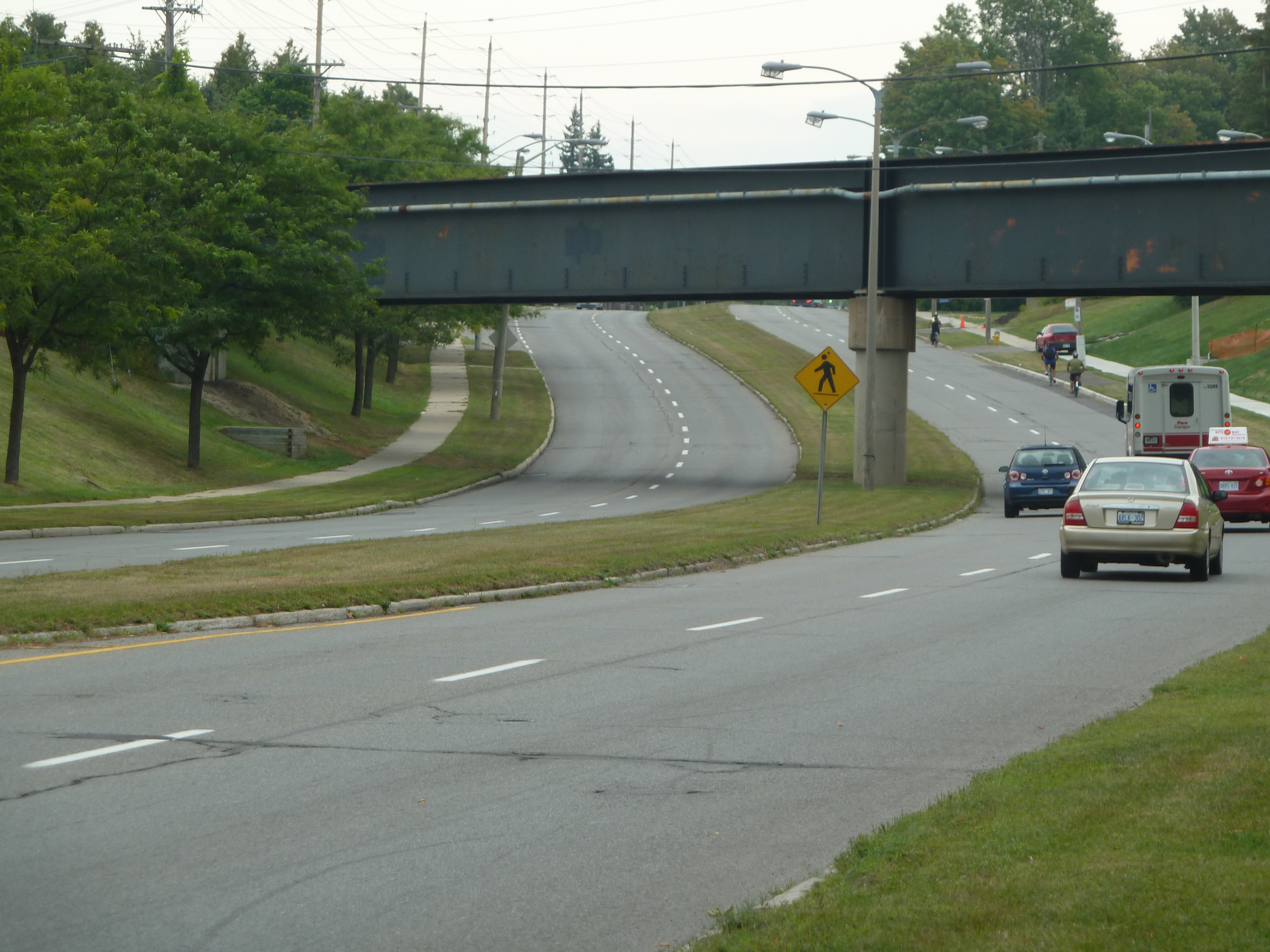
Walkley Road ( Ottawa Road #74) is a major road in Ottawa, Ontario, Canada. It runs from Riverside Drive to Ramseyville Road (formerly Baseline Road). It is mostly a four-lane divided road which runs through both residential and industrial areas of the southern part of urban Ottawa. See also * List of roads in Ottawa This is a list of major roads in Ottawa, Ontario, Canada: * Airport Parkway * Albert Street * Albion Road *Alta Vista Drive * Anderson Road * Aviation Parkway * Bank Street *Bankfield Road *Baseline Road *Beechwood Avenue * Blair Road ... External links Ottawa 2020 Transportation Master Plan Roads in Ottawa {{Ottawa-stub ... [...More Info...] [...Related Items...] OR: [Wikipedia] [Google] [Baidu] |
Ottawa Central Railway
The Ottawa Central Railway was a Canadian short-line railroad subsidiary of the Canadian National Railway. The headquarters were at the Walkley Yard, 3141 Albion Road South, Ottawa, Ontario, Canada. The OCRR was a wholly owned subsidiary of the Quebec Railway Corporation (QCR). It consisted of former CN subdivisions, and operated between Coteau-du-Lac, Quebec, at an interchange with the CN Montreal-Toronto main line, to Ottawa and Pembroke, Ontario. The OCRR started operations on December 13, 1998, and two years later, QRC acquired the assets of Ontario L'Orignal Railway from RailAmerica. The OCRR consisted of of track and spurs: of main line between Ottawa and Pembroke, and of the former Ontario L’Orignal Railway (OLO) between Glen Robertson and Hawkesbury. It also had of running rights between Ottawa and Coteau on track owned by Via Rail. Major commodities carried by the OCRR included newsprint, salt, medium-density fibreboard, linerboard, forest products, pulp, ga ... [...More Info...] [...Related Items...] OR: [Wikipedia] [Google] [Baidu] |
Bayview Public School
Bayview may refer to: Places Australia * Bayview, New South Wales * Bayview, Northern Territory Canada * Bayview, Calgary, a neighborhood in Alberta * Bayview, Newfoundland and Labrador * Bayview Avenue, a road in Toronto, Ontario ** Bayview station (Toronto), a TTC subway station located on the above road * Bayview station (OC Transpo), a station on Ottawa's O-Train Trillium Line New Zealand * Bayview, New Zealand, a suburb of North Shore City in the Auckland Region United States * Bayview, Alabama * Bayview, Humboldt County, California, a census designated place * Bayview, Contra Costa County, California, a census designated place * Bayview, Idaho * Bayview, Baltimore, Maryland * Bayview, Texas * Bayview, Washington (other) * Bayview, Wisconsin, a town * Bayview–Hunters Point, San Francisco, a neighborhood in San Francisco, California. Fictional * Bayview, a fictional city in the computer and video game '' Need for Speed: Underground 2'' Football stadia *Bayview ... [...More Info...] [...Related Items...] OR: [Wikipedia] [Google] [Baidu] |


