|
Ringinglow
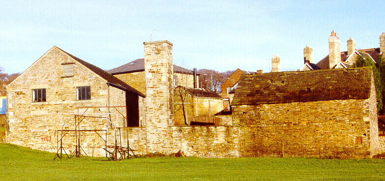
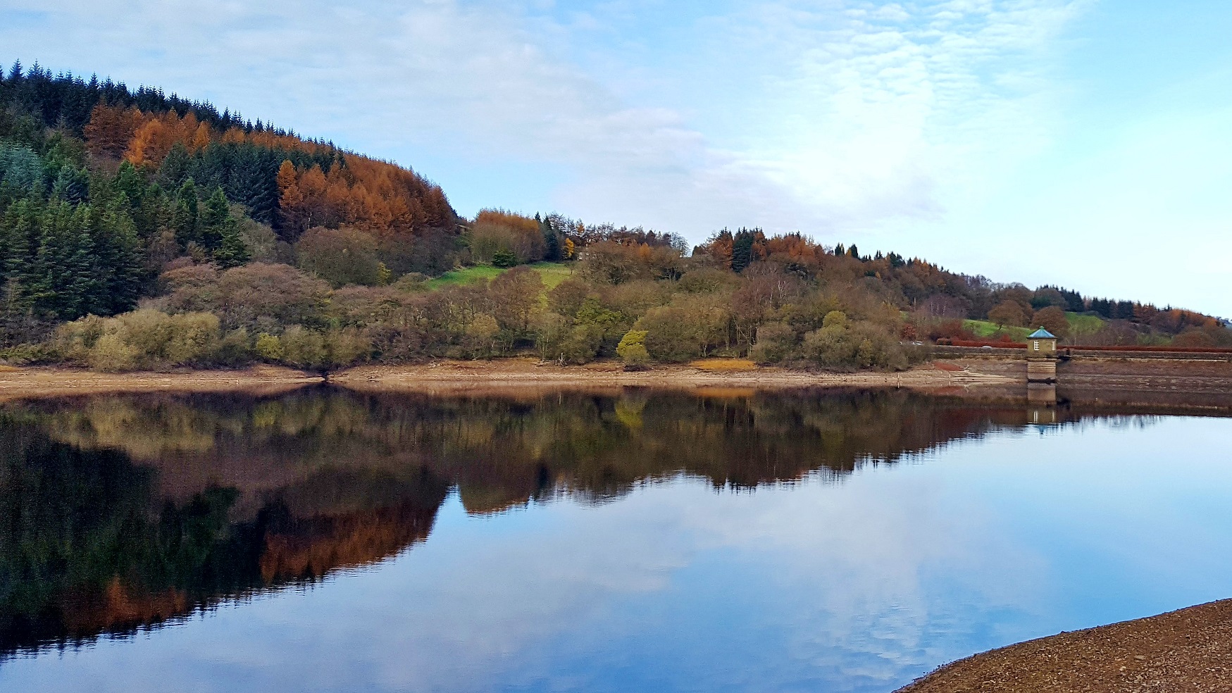
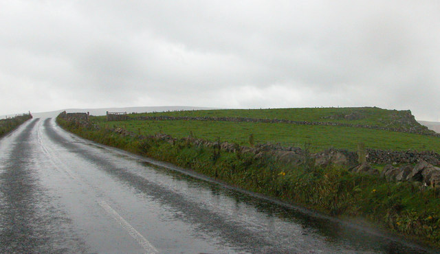
Ringinglow is a village in the western section of Sheffield, England. It is on the western border of Ecclesall Ward, and although it is within the boundary of Sheffield, it is self-contained, being entirely surrounded by open countryside. The village now falls within the Fulwood ward of the City. The village is focussed on the intersections of Fulwood Lane and Sheephill Road (historically this section was known as Houndkirk Road) with Ringinglow Road. The sources of the Porter Brook and Limb Brook, both tributaries of the River Sheaf, are near the village. The Norfolk Arms, a pub in the village, is often used as a staging-post by ramblers following one of these rivers out of Sheffield towards the Peak District National Park, the eastern boundary of which runs through the village. The Peak District Boundary Walk runs through the village. History On Fulwood Lane a polished Neolithic stone axehead was found in 1952 indicating ancient human activity in the area. An interim report ... [...More Info...] [...Related Items...] OR: [Wikipedia] [Google] [Baidu] |
Limb Brook
The Limb Brook is a stream in Sheffield, South Yorkshire, England. It rises at the village of Ringinglow, flowing east through Whirlow and Ecclesall Woods into Abbeydale in the Beauchief area, where it merges with the River Sheaf. Near this point part of the stream has been diverted to provide the goit for the Abbeydale Industrial Hamlet millpond, and this channel flows through what is now Beauchief Gardens. History On nearby Fulwood Lane a polished Neolithic stone axehead was found in 1952 indicating ancient human activity in the area. An interim report by University of Sheffield staff on excavations of a linear feature at Sheephill Farm, close to the brook has suggested evidence of the route of the lost Roman Road linking Templeborough with the Roman Signal Station at Navio and Batham Gate. The feature, which extends through Barber Fields is 20m wide and filled to a depth of 5m with rubble and has a metalled surface. The route of the Roman Road would have passed close to ... [...More Info...] [...Related Items...] OR: [Wikipedia] [Google] [Baidu] |
Ecclesall
Ecclesall Ward—which includes the neighbourhoods of Banner Cross, Bents Green, Carterknowle, Ecclesall, Greystones, Millhouses, and Ringinglow—is one of the 28 electoral wards in City of Sheffield, England. It is located in the southwestern part of the city and covers an area of . The population of this ward in 2007 was 19,211 people in 7,626 households, reducing to 6,657 at the 2011 Census. Ecclesall ward is one of the four wards that make up the South West Community Assembly and one of five wards that make up the Sheffield Hallam Parliamentary constituency. The Member of Parliament is Olivia Blake, a Labour MP. Ecclesall is one of the least socially deprived wards in the entire country, with a 2002 deprivation score of 4.7—making it the 8,105th most deprived (hence 309th least deprived) ward out of 8,414 wards in the country. The demographic consists largely of white, middle-class families. History Evidence of early occupation of the area can be found in Ecclesall Wo ... [...More Info...] [...Related Items...] OR: [Wikipedia] [Google] [Baidu] |
Peak District Boundary Walk
The Peak District Boundary Walk is a circular walking trail, starting and finishing at Buxton and broadly following the boundary of the Peak District, Britain's first national park. The route was developed by the Friends of the Peak District (a branch of the Campaign to Protect Rural England) and was launched on 17 June 2017. The Friends of the Peak District's founders, Gerald and Ethel Haythornthwaite, proposed the boundary of the Peak District National Park, which was subsequently established as the United Kingdom's first National Park in 1951. The route is waymarked with green markers and uses existing footpaths, tracks, quiet lanes, disused railway lines and a canal towpath. The start and finish is at the King's Head pub on Buxton Market Place, where a plaque has been installed by the Peak & Northern Footpaths Society (PNFS). The terrain covers open moorlands of the South Pennines, the limestone scenery of the Derbyshire Dales, woodlands, reservoirs and rural farming ... [...More Info...] [...Related Items...] OR: [Wikipedia] [Google] [Baidu] |
Porter Brook
The Porter Brook is a river which flows through the City of Sheffield, England, descending over from its source on Burbage Moor to the west of the city to its mouth where it joins the River Sheaf in a culvert beneath Sheffield railway station. Like the other rivers in Sheffield, its steep gradient made it ideal for powering water mills and works associated with the metalworking and cutlery industries, and around 20 dams were constructed over the centuries to facilitate this. At its lower end, it is extensively culverted, but parts of it are gradually being restored to open channels, as part of a daylighting scheme for the city. The brook derives its name from its brownish colour, similar to the colour of Porter beer. Route Source The Porter Brook rises from a series of springs among the sedge grass of Burbage Moor, the highest of which is close to the contour near Brown Edge Farm. Its source is just inside the Peak District National Park, to the north-west of the village of ... [...More Info...] [...Related Items...] OR: [Wikipedia] [Google] [Baidu] |
Batham Gate
Batham Gate is the medieval name for a Roman road in Derbyshire, England, which ran south-west from Templebrough on the River Don, South Yorkshire, River Don in South Yorkshire to Brough-on-Noe (Latin ''Navio Roman Fort, Navio'') and the spa town of Buxton (Latin ''Aquae Arnemetiae'') in Derbyshire. ''Gate'' means "road" in northern English dialects; the name therefore means "road to the bath town". The route of the road from Templebrough to the Roman signal station Navio is disputed. Joseph Hunter (antiquarian), Hunter suggested the Long Causeway at Redmires Reservoirs, Redmires as the route and it was shown as such on Ordnance Survey maps, but this is now known to be a medieval packhorse Salt road, saltway. Roman road historian Ivan Donald Margary said that the Long Causeway had a slightly different route in Roman times. In his book ''Roman Roads In Britain'' he said that evidence is now available that shows that after the Redmires Reservoir the Roman road did not follow the m ... [...More Info...] [...Related Items...] OR: [Wikipedia] [Google] [Baidu] |
City Of Sheffield
The City of Sheffield is a city and metropolitan borough in South Yorkshire, England. The metropolitan borough includes the administrative centre of Sheffield, the town of Stocksbridge and larger village of Chapeltown and part of the Peak District. It has a population of 584,853 (mid-2019 est), making it technically the third largest city in England by population behind Birmingham and Leeds, since London is not considered a single entity. It is governed by Sheffield City Council. The current city boundaries were set on 1 April 1974 by the provisions of the Local Government Act 1972, as part a reform of local government in England. The city is a merger of two former local government districts; the unitary City and County Borough of Sheffield combined with the urban district of Stocksbridge and parts of the rural district of Wortley from the West Riding of Yorkshire. For its first 12 years the city had a two-tier system of local government; Sheffield City Council shar ... [...More Info...] [...Related Items...] OR: [Wikipedia] [Google] [Baidu] |
Yorkshire
Yorkshire ( ; abbreviated Yorks), formally known as the County of York, is a Historic counties of England, historic county in northern England and by far the largest in the United Kingdom. Because of its large area in comparison with other English counties, functions have been undertaken over time by its subdivisions, which have also been subject to History of local government in Yorkshire, periodic reform. Throughout these changes, Yorkshire has continued to be recognised as a geographic territory and cultural region. The name is familiar and well understood across the United Kingdom and is in common use in the media and the Yorkshire Regiment, military, and also features in the titles of current areas of civil administration such as North Yorkshire, South Yorkshire, West Yorkshire and the East Riding of Yorkshire. Within the borders of the historic county of Yorkshire are large stretches of countryside, including the Yorkshire Dales, North York Moors and Peak District nationa ... [...More Info...] [...Related Items...] OR: [Wikipedia] [Google] [Baidu] |
Derbyshire
Derbyshire ( ) is a ceremonial county in the East Midlands, England. It includes much of the Peak District National Park, the southern end of the Pennine range of hills and part of the National Forest. It borders Greater Manchester to the north-west, West Yorkshire to the north, South Yorkshire to the north-east, Nottinghamshire to the east, Leicestershire to the south-east, Staffordshire to the west and south-west and Cheshire to the west. Kinder Scout, at , is the highest point and Trent Meadows, where the River Trent leaves Derbyshire, the lowest at . The north–south River Derwent is the longest river at . In 2003, the Ordnance Survey named Church Flatts Farm at Coton in the Elms, near Swadlincote, as Britain's furthest point from the sea. Derby is a unitary authority area, but remains part of the ceremonial county. The county was a lot larger than its present coverage, it once extended to the boundaries of the City of Sheffield district in South Yorkshire where it cov ... [...More Info...] [...Related Items...] OR: [Wikipedia] [Google] [Baidu] |
George Talbot, 6th Earl Of Shrewsbury
George Talbot, 6th Earl of Shrewsbury, 6th Earl of Waterford, 12th Baron Talbot, KG, Earl Marshal (c. 1522/1528 – 18 November 1590) was an English magnate and military commander. He also held the subsidiary titles of 15th Baron Strange of Blackmere and 11th Baron Furnivall. He was best known for his tenure as keeper of Mary, Queen of Scots between 1568 and 1585, his marriage to his second wife Elizabeth Talbot (Bess of Hardwick), as well as his surviving collection of written work. Life and career Talbot was the only son of Francis Talbot, 5th Earl of Shrewsbury and Mary Dacre. In early life he saw active military service, when he took part in the invasion of Scotland under the Protector Somerset. He was sent by his father in October 1557 to the relief of Thomas Percy, 7th Earl of Northumberland pent up in Alnwick Castle. He then remained for some months in service on the border, with five hundred horsemen under his command. :s:Talbot, George, sixth Earl of Shrewsbury ... [...More Info...] [...Related Items...] OR: [Wikipedia] [Google] [Baidu] |
Hallamshire
Hallamshire (or Hallam) is the historical name for an area of South Yorkshire, England, approximating to the current City of Sheffield local government area. The origin of the name is uncertain. The English Place-Name Society describe "Hallam" originating from a formation meaning "on the rocks". Alternative theories are that it is derived from ''halgh'' meaning an area of land at a border,David Hey, ''Historic Hallamshire'' Old Norse ''hallr'' meaning a slope or hill, or Old English ''heall'' meaning a hall or mansion. The exact boundaries of this historic district are unknown, but it is thought to have covered the parishes of Sheffield, Ecclesfield, and Bradfield—an area roughly equivalent to those parts of the present-day borough of the City of Sheffield that lie to the west of the rivers Don and Sheaf that are within the boundaries of the ancient county of Yorkshire (later descriptions also include Brightside and the parish of Handsworth).See chapter I of Hunter ... [...More Info...] [...Related Items...] OR: [Wikipedia] [Google] [Baidu] |
Tumulus
A tumulus (plural tumuli) is a mound of earth and stones raised over a grave or graves. Tumuli are also known as barrows, burial mounds or ''kurgans'', and may be found throughout much of the world. A cairn, which is a mound of stones built for various purposes, may also originally have been a tumulus. Tumuli are often categorised according to their external apparent shape. In this respect, a long barrow is a long tumulus, usually constructed on top of several burials, such as passage graves. A round barrow is a round tumulus, also commonly constructed on top of burials. The internal structure and architecture of both long and round barrows has a broad range; the categorization only refers to the external apparent shape. The method of may involve a dolmen, a cist, a mortuary enclosure, a mortuary house, or a chamber tomb. Examples of barrows include Duggleby Howe and Maeshowe. Etymology The word ''tumulus'' is Latin for 'mound' or 'small hill', which is derived from th ... [...More Info...] [...Related Items...] OR: [Wikipedia] [Google] [Baidu] |
Sidney Oldall Addy
Sidney Oldall Addy (9 January 1848 – 15 November 1933) was an English author of books on folklore and history. He was born in Norton, Derbyshire, to coal merchant and landowner James Addy and his wife, Sarah. He studied classics at Lincoln College, Oxford, before becoming a solicitor. In 1899 he married Mary Golden Parkin. As well as publishing many books on history and folklore he was known for contributing papers to antiquarian journals and for his letters to Notes and Queries. He also wrote articles for the Dictionary of National Biography The ''Dictionary of National Biography'' (''DNB'') is a standard work of reference on notable figures from British history, published since 1885. The updated ''Oxford Dictionary of National Biography'' (''ODNB'') was published on 23 September .... Works *An account of Winfield Manor in Derbyshire, with James Croston (1885) *Historical Memorials of Beauchief Abbey (1887) *A glossary of words used in the neighbourhood of Sheffield (1 ... [...More Info...] [...Related Items...] OR: [Wikipedia] [Google] [Baidu] |


