|
Reisseck Group
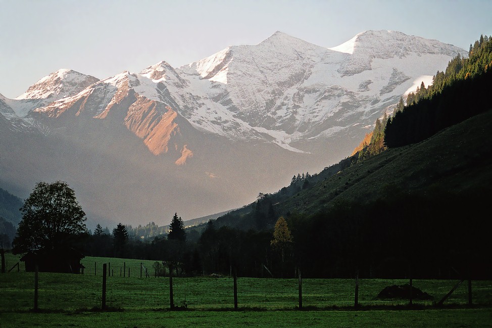
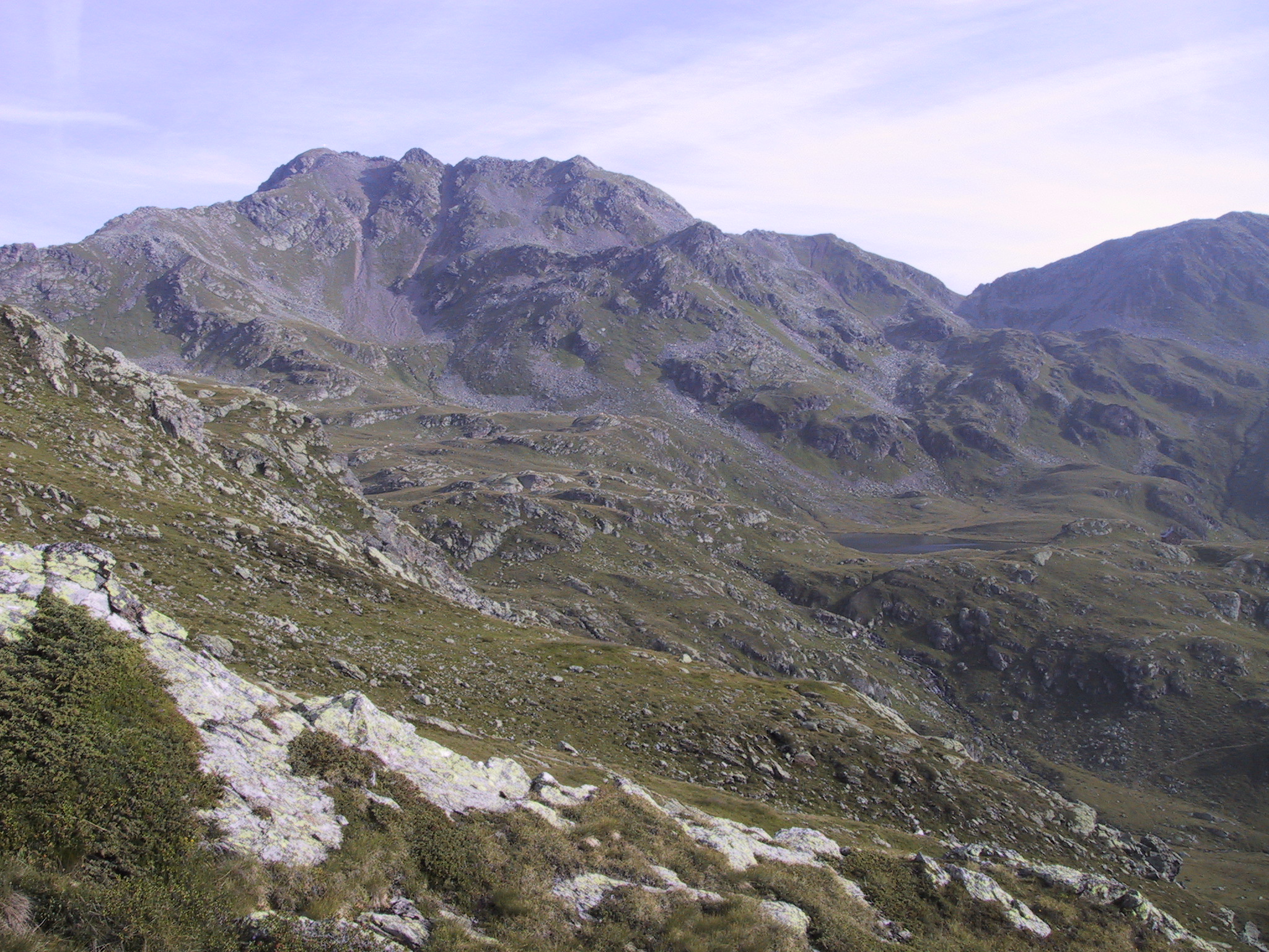
The Reisseck Group or Reißeck Group (german: Reißeckgruppe) is a small mountain sub-range in the Austrian state of Carinthia. As the southern part of the Ankogel Group, it belongs to the High Tauern range of the Central Eastern Alps. Geography The Reisseck Group is separated from the northern Ankogel Group by the Dösen valley, stretching east of Mallnitz up to the '' Dösener See'' alpine lake at a height of , and the ''Gößgraben'' gorge down to the Malta Valley. Its eastern boundary is formed by the Malta and Lieser rivers with the town of Gmünd, separating it from the Gurktal Alps (Nock Mountains). To the south, it is bounded by the Möll valley and the neighbouring Kreuzeck Group. The Reisseck Group is predominantly formed of gneisses. The highest peak in the mountain range is the Reißeck at . Other significant summits are the Tristenspitz (2,930 m), the Hohe Leier (2,774 m) and the Gmeineck (2,592 m). The Kaponig valley in the northwestern Reisseck Gr ... [...More Info...] [...Related Items...] OR: [Wikipedia] [Google] [Baidu] |
Spittal An Der Drau
Spittal an der Drau is a town in the western part of the Austrian federal state of Carinthia. It is the administrative centre of Spittal an der Drau District, Austria's second largest district (''Bezirk'') by area. Geography The town is located on the southern slopes of the Gurktal Alps (Nock Mountains), between the Lurnfeld Basin and the Lower Drau Valley. Despite its name, the historic core of Spittal originated on the banks of the small Lieser tributary, which flows into the Drau at the foot of Mt. Goldeck, a peak of the Gailtal Alps south of the town. Its summit can be reached by cable car. The municipal area consists of seven Katastralgemeinden: Amlach, Edling, Großegg, Molzbichl, Olsach, Spittal proper, and St. Peter-Edling. In Großegg (incorporated in 1973), the area of Spittal extends to the southern shore of Lake Millstatt. History The settlement was first mentioned in an 1191 deed issued by Archbishop Adalbert of Salzburg, when the local Carinthian counts Hermann I ... [...More Info...] [...Related Items...] OR: [Wikipedia] [Google] [Baidu] |
Gurktal Alps
The Gurktal Alps (german: Gurktaler Alpen, sl, Krške Alpe) is a mountain range located in the Central Eastern Alps in Austria, named after the valley of the Gurk river. The range stretches west to Lake Millstatt and east to Neumarkter Sattel (north-northwest of Neumarkt in der Steiermark). The highest peak is the Styrian Eisenhut (2441m). Geography Location The range is located between the Mur Valley in the north, separating it from the Niedere Tauern, and the Drava in the south, where it borders on the Gailtal Alps and Karavanke ranges of the Southern Limestone Alps. In the west, the Gurktal Alps reach up to the Katschberg Pass and the Ankogel Group of the Hohe Tauern range. In the east, the Neumarkt Pass in Upper Styria separates it from the adjacent Lavanttal Alps. Subdivisions The Gurktal Alps may be divided into five subgroups: * The ''Nock Mountains'' lie between the Liesertal and Flattnitzer Höhe. Their highest peak is the Eisenhut (2,441 m). * The ''Met ... [...More Info...] [...Related Items...] OR: [Wikipedia] [Google] [Baidu] |
Reisseck Mountain Railway
The Reisseck Mountain Railway (german: Reißeck-Höhenbahn) was a narrow gauge railway with a track gauge of 600 mm, that started at the top station of Schoberboden on the Reisseck Funicular Railway in Austria. It was closed in 2014. History An industrial railway was required for the construction of the Reißeck-Kreuzeck Power Station. The line opened on 1 July 1953. Because, following the completion of the construction work, the line had to be kept going for maintenance reasons, it was decided to open the railway to tourists as well. The Reisseck Mountain Railway Company (''Reißeck-Höhenbahngesellschaft mbH'') was founded in 1969, although public services did not begin until 16 September 1965. Route Together with the Reisseck Funicular the Reisseck Mountain Railway links Schoberboden with the Seenplateau ("Lake Plateau"). The line was 3,359 metres long, of which 2,130 metres ran through a tunnel. The terminus for passenger services was at the hotel of ''Berg ... [...More Info...] [...Related Items...] OR: [Wikipedia] [Google] [Baidu] |
Reisseck Railway
The Reisseck Railway (sometimes Reißeck Railway, german: Reißeckbahn) is a mountain railway, that runs from Carinthia's Möll valley into the Reißeck Group, a small mountain range in southern Austria. It comprises the Reisseck Funicular and the Reisseck Mountain Railway (a narrow gauge railway). General The Reisseck Railway starts in Kolbnitz in the Möll valley at a height of and ends for passenger services at the Berghotel Reisseck at a height of Further sections of line end at about 2,400 m. On the opposite side of the valley is another funicular, the Kreuzeck Railway. The lines are operated by Tauern Touristik. Originally the railway was built to transport materiel to the dam and power station of the Reisseck-Kreuzeck power station. After various modifications and expansions its main function today is to provide passenger services. The railway is closed in 2016 during construction work at Schoberboden. Reisseck Funicular The Reisseck Funicular is a metr ... [...More Info...] [...Related Items...] OR: [Wikipedia] [Google] [Baidu] |
Reißeck
Reißeck is a municipality in the district of Spittal an der Drau in Carinthia, Austria. Geography Situated within the valley of the Möll river, a tributary to the Drava, Reißeck is located about northwest of the district capital Spittal an der Drau. The present-day municipality established in 1973 consists of the four cadastral communities Kolbnitz, Zandlach, Penk, and Teuchl. It was named after the Reißeck massif (2,965m/9,727 ft) in the north, part of the Ankogel Group of the Hohe Tauern mountain range. South of the Möll Valley rises the Kreuzeck Group. Equidistant between the ski resorts of Ankogel/Mölltal Glacier and Lake Millstatt, facilities in Kolbnitz include a rafting centre, a riding centre, tennis courts, a small ski area and a swimming pool. Two funicular railway lines leave from the Möll valley bottom: the first runs up the Reißeck mountain to an altitude of 2236m/7336 ft to walking trails and a hotel; the second leads to the mountain rail station ... [...More Info...] [...Related Items...] OR: [Wikipedia] [Google] [Baidu] |
Hydroelectricity
Hydroelectricity, or hydroelectric power, is Electricity generation, electricity generated from hydropower (water power). Hydropower supplies one sixth of the world's electricity, almost 4500 TWh in 2020, which is more than all other Renewable energy, renewable sources combined and also more than nuclear power. Hydropower can provide large amounts of Low-carbon power, low-carbon electricity on demand, making it a key element for creating secure and clean electricity supply systems. A hydroelectric power station that has a dam and reservoir is a flexible source, since the amount of electricity produced can be increased or decreased in seconds or minutes in response to varying electricity demand. Once a hydroelectric complex is constructed, it produces no direct waste, and almost always emits considerably less greenhouse gas than fossil fuel-powered energy plants. [...More Info...] [...Related Items...] OR: [Wikipedia] [Google] [Baidu] |
National Parks Of Austria
Austria has six national parks, all of them internationally accepted according to the IUCN standard. The first national park, Hohe Tauern, was established in 1981. They include each of Austria's most important natural landscape types — alluvial forest, Alpine massif, Pannonian steppe and rocky valleys. Development First plans for the protection of the Hohe Tauern mountain range were evolved by Austrian Alpine Club, which in 1915-18 acquired large mountainous areas. However, the national park project was abandoned in the late 1930s and not resumed until 1971, when the federal states of Salzburg, Tyrol and Carinthia signed the Heiligenblut Agreement, followed by similar initiatives in Lower and Upper Austria. The establishment of each national park took several years; as conflicts of use and the question of funding had to be resolved. The parks are managed by contracts between one or more of the federal states and the Federal Government, with the financing shared equally between ... [...More Info...] [...Related Items...] OR: [Wikipedia] [Google] [Baidu] |
Kreuzeck Group
The Kreuzeck Group is a mountain range of the Central Eastern Alps. It may be considered either a separate range or part of the larger Hohe Tauern, High Tauern chain. Administratively, the range belongs to the Austrian States of Austria, states of Carinthia (state), Carinthia and, in the westernmost part, Tyrol (state), Tyrol (i.e. East Tyrol). Geography The Kreuzeck Group is geographically separated from the main chain of the High Tauern in the north by the Möll (river), Möll, a left tributary of the Drava, up to the confluence within the Lurnfeld basin in the east. In the south, the Drava forms the border with the Gailtal Alps, part of the Southern Limestone Alps. The Iselsberg Pass near Lienz, connecting the Drava and Möll valleys, marks the western end. The range is mainly composed of gneiss and garnet-mica-schists. The mountainous area (approximately 450 km²) is sparsely populated and used mainly for forestry and hunting. However, its tourism industry has improved i ... [...More Info...] [...Related Items...] OR: [Wikipedia] [Google] [Baidu] |
Möll Valley
The Möll (; presumably from sl, Mel, "rubble") is a river in northwestern Carinthia in Austria, a left tributary of the Drava. Its drainage basin is . Course The river rises in the High Tauern range of the Central Eastern Alps on the Pasterze Glacier at the foot of the Grossglockner, the highest mountain in Austria. It discharges after near Möllbrücke into the Drava. At the beginning of its course, at the southeastern end of the Pasterze Glacier, it is impounded to form the Margaritze Reservoir, from where part of the water is diverted via pressure tunnels across the Alpine crest and Mt. Wiesbachhorn to the reservoirs of the Verbund hydroelectric power plant in Kaprun, Salzburg. The Möll then runs down to Heiligenblut, parallel to the Grossglockner High Alpine Road, and further southwards separating the mountains of the Schober Group in the west from the Goldberg Group in the east. In the municipality of Winklern, near the border with Tyrol (East Tyrol) at Iselsberg Pass, ... [...More Info...] [...Related Items...] OR: [Wikipedia] [Google] [Baidu] |
Nock Mountains
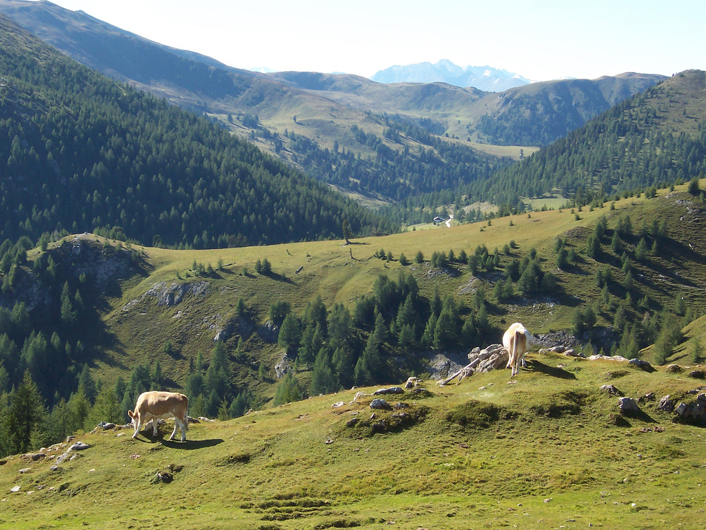
The Nock Mountains (german: Nockberge or ''Nockgebirge'') are the westernmost and highest mountain range of the Gurktal Alps in Austria, spread over parts of the federal states of Carinthia, Salzburg and Styria. Their appearance is characterised by numerous dome-like and grass-covered summits (''Nocken''). Their highest peak is the Eisenhut in Styria which reaches an elevation of AA. In July 2012 the Nock Mountains and the adjacent Lungau region were designated a biosphere reserve by UNESCO. They were largely unglaciated in the Ice Age and were a glacial refugium. Geography As westernmost part of the Gurktal Alps, the Nock Mountains are separated from the Low Tauern in the north, stretching as far as the Katschberg Pass () in the west, by the Mur River. In the west, the rivers Lieser and Drau separate the Nock Mountains from the Ankogel Group of the High Tauern and from the Gailtal Alps. South of Lake Ossiach they are adjoined by the lower Sattnitz range and the Klagenfurt ... [...More Info...] [...Related Items...] OR: [Wikipedia] [Google] [Baidu] |


_seen_from_Danielsberg.jpg)


