|
Raphael Park
Raphael Park (pronounced "Ray-fell”) is a public park in Gidea Park, Romford, in the London Borough of Havering, United Kingdom. It is one of a series of parks stretching northwards from the railway line between Romford and Gidea Park. The park is commonly known as Raphael's (pronounced Ray-fell's) Park by locals. The southern entrance to Raphael Park is on Main Road, formerly called Hare Street, and the northern entrance is just south of the A12 Eastern Avenue. The western boundary of the park follows the line of Black's Brook, a small stream that was dammed where the park meets Main Road to form a lake 12–20 ft deep and called Black's Canal, this being done before the park was created. The dam itself is just inside the park next to the 18th century bridge which carries Main Road and known as Black's Bridge. The park itself is part of the parkland that once surrounded Gidea Hall. Raphael Park contains two ancient Pedunculate Oaks recorded by the Woodland Trust. The park ... [...More Info...] [...Related Items...] OR: [Wikipedia] [Google] [Baidu] |
Urban Park
An urban park or metropolitan park, also known as a municipal park (North America) or a public park, public open space, or municipal gardens ( UK), is a park in cities and other incorporated places that offer recreation and green space to residents of, and visitors to, the municipality. The design, operation, and maintenance is usually done by government agencies, typically on the local level, but may occasionally be contracted out to a park conservancy, "friends of" group, or private sector company. Common features of municipal parks include playgrounds, gardens, hiking, running and fitness trails or paths, bridle paths, sports fields and courts, public restrooms, boat ramps, and/or picnic facilities, depending on the budget and natural features available. Park advocates claim that having parks near urban residents, including within a 10-minute walk, provide multiple benefits. History A park is an area of open space provided for recreational use, usually owned and maintain ... [...More Info...] [...Related Items...] OR: [Wikipedia] [Google] [Baidu] |
Gidea Park
Gidea Park () is a neighbourhood in the east of Romford in the London Borough of Havering, south-east England. Predominantly affluent and residential, it was historically within the county of Essex and saw significant expansion in the early 20th century with exhibitions of housing and town planning (the first being known as Romford Garden Suburb) and the construction of a railway station on the main line out from Liverpool Street in the City of London. Locale Gidea Park is approximately east of Charing Cross and east of Romford town centre. It is south-west of the Gallows Corner junction where the A12, A127 and A118 roads meet. Harold Wood is to the east of Gidea Park, Ardleigh Green and Emerson Park are to the south-east, and Hornchurch is to the south. History Early history Thomas Cooke, a Suffolk man who became London Mayor in 1462, was granted a Royal Charter for Royal Liberty of Havering-atte-Bower, which enabled him to build a country house, which he named "Geddy ... [...More Info...] [...Related Items...] OR: [Wikipedia] [Google] [Baidu] |
Romford
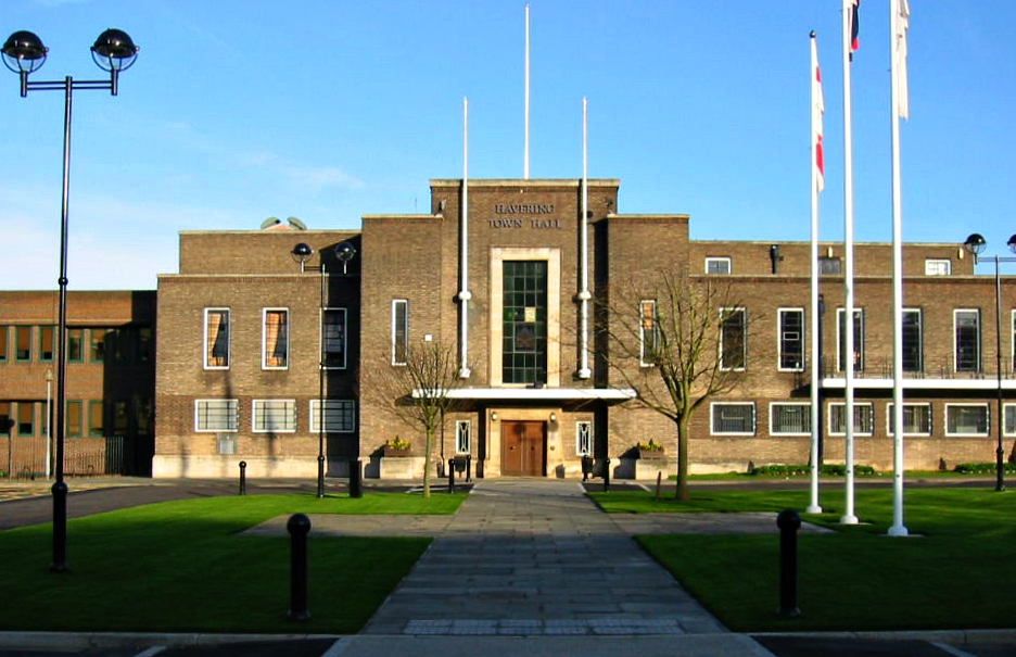
Romford is a large town in east London and the administrative centre of the London Borough of Havering. It is located northeast of Charing Cross and is one of the major metropolitan centres identified in the London Plan. Historically, Romford was a market town in the county of Essex, and formed the administrative centre of the liberty of Havering before that liberty was dissolved in 1892. Good road links to London and the opening of the railway station in 1839 were key to the development of the town. The economic history of Romford is characterised by a shift from agriculture to light industry and then to retail and commerce. As part of the suburban growth of London throughout the 20th century, Romford significantly expanded and increased in population, becoming a municipal borough in 1937 and was incorporated into Greater London in 1965. Today, it is one of the largest commercial, retail, entertainment and leisure districts in London and has a well-developed night-time econom ... [...More Info...] [...Related Items...] OR: [Wikipedia] [Google] [Baidu] |
London Borough Of Havering
The London Borough of Havering () in East London, England, forms part of Outer London. It has a population of 259,552 inhabitants; the principal town is Romford, while other communities are Hornchurch, Upminster, Collier Row and Rainham. The borough is mainly suburban, with large areas of protected open space. Romford is a major retail and night time entertainment centre, and to the south the borough extends into the London Riverside redevelopment area of the Thames Gateway. The name Havering is a reference to the Royal Liberty of Havering which occupied the area for several centuries. The local authority is Havering London Borough Council. It is the easternmost London borough. Population In 2011, the borough had a population of 237,232 over . Havering has a lower population density than other London Boroughs as large areas are parkland and (more than half the borough) is Metropolitan Green Belt protected land. Those areas of development are extensive but rarely intensive. ... [...More Info...] [...Related Items...] OR: [Wikipedia] [Google] [Baidu] |
A12 Road (England)
The A12 is a major road in Eastern England. It runs north-east/south-west between London and the coastal town of Lowestoft in the north-eastern corner of Suffolk, following a similar route to the Great Eastern Main Line until Ipswich. A section of the road between Lowestoft and Great Yarmouth became part of the A47 in 2017. Between the junctions with the M25 and the A14, the A12 forms part of the unsigned Euroroute E30 (prior to 1985, it was the E8). Unlike most A roads, this section of the A12, together with the A14 and the A55, has junction numbers as if it were a motorway. The section of the A12 through Essex has sections of dual two lanes and dual three lanes, with eight changes in width between the M25 to Ipswich. It was named as Britain's worst road because of "potholes and regular closures due to roadworks" in a 2007 survey by Cornhill Insurance. The A12 is covered by Highways England's A12 and A120 Route Management Strategy. Starting just north of the Blackwall Tu ... [...More Info...] [...Related Items...] OR: [Wikipedia] [Google] [Baidu] |
Gidea Hall
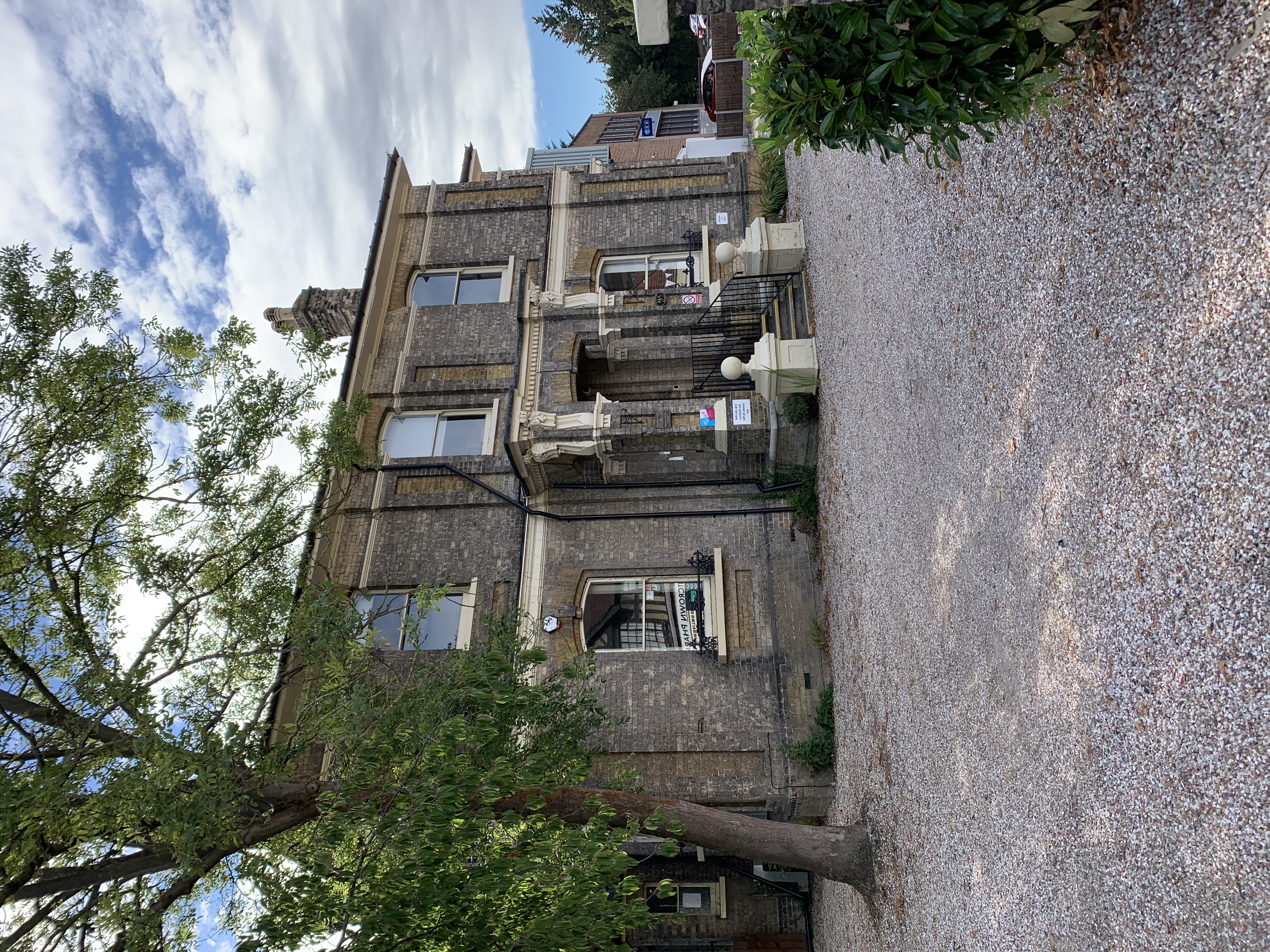
Gidea Hall was a manor house in Gidea Park, the historic parish and Royal liberty of Havering-atte-Bower, whose former area today is part of the north-eastern extremity of Greater London. The first record of Gidea Hall is in 1250, and by 1410 it was in the hands on one Robert Chichele. In 1452 Sir Thomas Cooke (c.1410-1478), a Lord Mayor of London, bought the estate and in 1466 was granted a licence to crenellate, which is a licence for the manor house to be fortified. Gidea Hall was forfeit when Cooke was accused of treason, but he was acquitted and the property recovered after payment of a fine. While work on the manor had started in 1466 with the construction of a moat, they were continued by his son Sir Anthony Cooke, one of whose daughters married Sir Nicholas Bacon and came into possession of the Manor of Marks, another large house in the Liberty of Havering. After his return from exile Cooke entertained Queen Elizabeth I at Gidea Hall during her ''Progress'' in 1568 wh ... [...More Info...] [...Related Items...] OR: [Wikipedia] [Google] [Baidu] |
Pedunculate Oak
''Quercus robur'', commonly known as common oak, pedunculate oak, European oak or English oak, is a species of flowering plant in the beech and oak family, Fagaceae. It is a large tree, native to most of Europe west of the Caucasus. It is widely cultivated in temperate regions elsewhere and has escaped into the wild in scattered parts of China and North America. Description ''Quercus robur'' is a large deciduous tree, with circumference of grand oaks from to an exceptional . The Majesty Oak with a circumference of is the thickest tree in Great Britain. The Brureika ( Bridal Oak) in Norway with a circumference of (2018) and the Kaive Oak in Latvia with a circumference of are among the thickest trees in Northern Europe. The largest historical oak was known as the Imperial Oak from Bosnia and Herzegovina. This specimen was recorded at 17.5 m in circumference at breast height and estimated at over 150 m³ in total volume. It collapsed in 1998. The species has lobed and nea ... [...More Info...] [...Related Items...] OR: [Wikipedia] [Google] [Baidu] |
Herbert Raphael
Major Sir Herbert Henry Raphael, 1st Baronet (23 December 1859 – 24 September 1924) was a British barrister and Liberal Party politician.Leigh Rayment (2006). The second son of Henry Louis Raphael, banker, of Raphaels Bank and his wife and cousin, Henriette ''née'' Raphael. He was educated in Hanover, Germany and Vevey, Switzerland before attending Trinity Hall, Cambridge where he studied law. He was called to the bar at the Inner Temple in 1883. He practiced law for only a few years, choosing to pursue a career in public and political activities. Political career In 1889 he was elected to the first London County Council as a councillor for St Pancras West. He was a member of the Liberal-backed Progressive Party which controlled the council. He was also a member of the London School Board. He was subsequently a member of the Essex County Council. He unsuccessfully contested the Romford constituency as a Liberal candidate in both 1892 and 1897, and St Pancras North in 19 ... [...More Info...] [...Related Items...] OR: [Wikipedia] [Google] [Baidu] |
Municipal Borough Of Romford
Romford was a local government district in southwest Essex from 1851 to 1965.Vision of Britain Romford UD/MB It was significantly expanded in 1934 and gained the status of in 1937. The population density of the district consistently increased during its existenceVision of Britain Romford population [...More Info...] [...Related Items...] OR: [Wikipedia] [Google] [Baidu] |
Angling
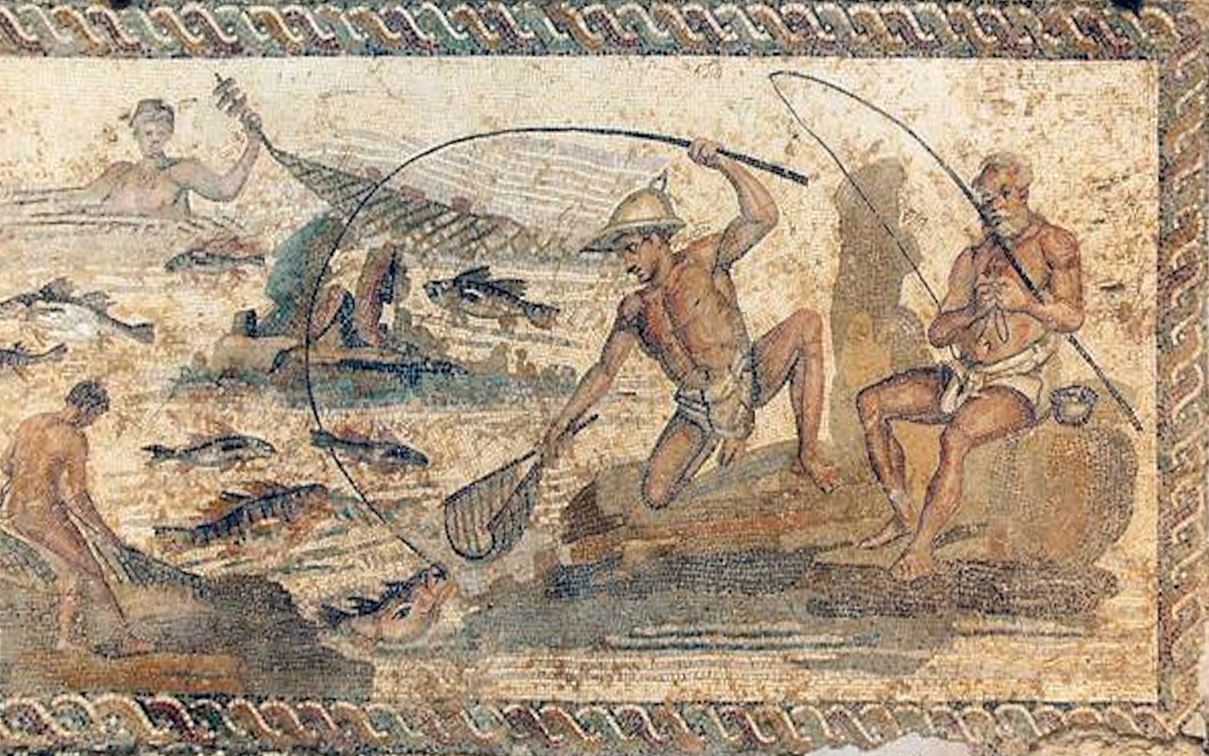
Angling is a fishing technique that uses a fish hook or "angle" (from Old English ''angol'') attached to a fishing line to tether individual fish in the mouth. The fishing line is usually manipulated via a fishing rod, although rodless techniques such as handlining and longlining also exist. Modern angling rods are usually fitted with a reel that functions as a cranking device for storing, retrieving and releasing out the line, although Tenkara fishing and cane pole fishing are two rod-angling methods that do not use any reel. The hook itself can be additionally weighted with a dense tackle called a sinker, and is typically dressed with an appetizing bait to attract the fish and enticing it into swallowing the hook, but sometimes an inedible fake bait with multiple attached hooks (known as a lure) is used instead of a single hook with edible bait. A bite indicator, such as a float or a quiver tip, is often used to relay underwater status of the hook to the surface. When ... [...More Info...] [...Related Items...] OR: [Wikipedia] [Google] [Baidu] |
Bandstand
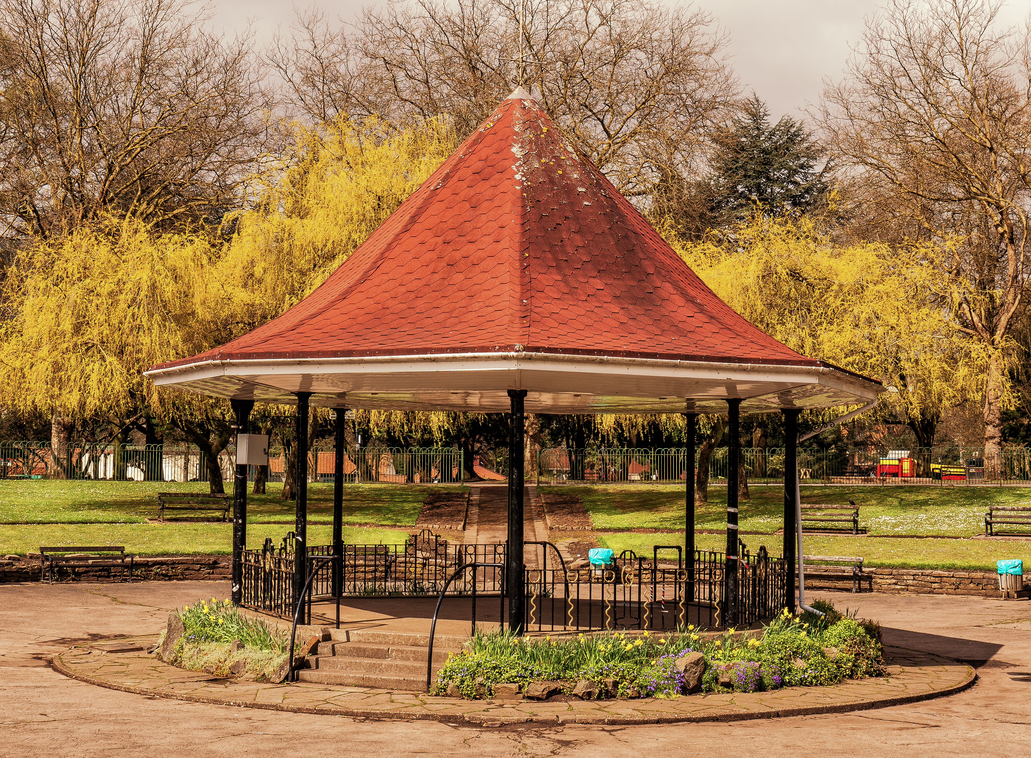
A bandstand (sometimes music kiosk) is a circular, semicircular or polygonal structure set in a park, garden, pier, or indoor space, designed to accommodate musical bands performing concerts. A simple construction, it both creates an ornamental focal point and also serves acoustic requirements while providing shelter for the changeable weather, if outdoors. In form bandstands resemble ornamental European garden gazebos modeled on outdoor open-sided pavilions found in Asian countries from early times. Origins During the 18th and 19th centuries this type of performance building was found in the fashionable pleasure gardens of London and Paris where musicians played for guests dining and dancing. They were later built in public spaces in many countries as practical amenities for outdoor entertainment. Many bandstands in the United Kingdom originated in the Victorian era as the British brass band movement gained popularity. Smaller bandstands are often not much more than gaze ... [...More Info...] [...Related Items...] OR: [Wikipedia] [Google] [Baidu] |
Association Football
Association football, more commonly known as football or soccer, is a team sport played between two teams of 11 players who primarily use their feet to propel the ball around a rectangular field called a pitch. The objective of the game is to score more goals than the opposition by moving the ball beyond the goal line into a rectangular framed goal defended by the opposing side. Traditionally, the game has been played over two 45 minute halves, for a total match time of 90 minutes. With an estimated 250 million players active in over 200 countries, it is considered the world's most popular sport. The game of association football is played in accordance with the Laws of the Game, a set of rules that has been in effect since 1863 with the International Football Association Board (IFAB) maintaining them since 1886. The game is played with a football that is in circumference. The two teams compete to get the ball into the other team's goal (between the posts and under t ... [...More Info...] [...Related Items...] OR: [Wikipedia] [Google] [Baidu] |


_p57a_-_Romford.jpg)


