|
RFU Championship
The RFU Championship is an English rugby union competition comprising twelve clubs. It is the second level of men’s English rugby and is played by both professional and semi-professional players. The competition has existed since 1987, when English clubs were first organised into leagues. Organisation and format The Championship is governed by the Rugby Football Union (RFU). The current competition format is a double round-robin tournament, where teams play each other home and away. The 2021-22 season had no playoff phase, and no team was promoted to the Premiership as no team met the minimum standards criteria. Current teams Current league table History Precursor competitions (1987–2009) The governing body for rugby union in England, the RFU, first allowed league hierarchies in 1987. This came nearly a century after leagues were first established in football and cricket, England's other two principal team sports. The RFU's reluctance to allow leagues was ... [...More Info...] [...Related Items...] OR: [Wikipedia] [Google] [Baidu] |
Rugby Football Union
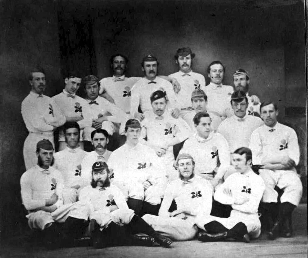
The Rugby Football Union (RFU) is the national governing body for rugby union in England. It was founded in 1871, and was the sport's international governing body prior to the formation of what is now known as World Rugby (WR) in 1886. It promotes and runs the sport, organises international matches for the England national team, and educates and trains players and officials. The RFU is an industrial and provident society owned by over 2,000 member clubs, representing over 2.5 million registered players, and forms the largest rugby union society in the world, and one of the largest sports organisations in England. It is based at Twickenham Stadium, London. In September 2010 the equivalent women's rugby body, the Rugby Football Union for Women (RFUW), was able to nominate a member to the RFU Council to represent women and girls rugby. The RFUW was integrated into the RFU in July 2012. Early history (19th century) Formation On 4 December 1870, Edwin Ash of Richmond and ... [...More Info...] [...Related Items...] OR: [Wikipedia] [Google] [Baidu] |
Nottingham R
Nottingham ( , locally ) is a city and unitary authority area in Nottinghamshire, East Midlands, England. It is located north-west of London, south-east of Sheffield and north-east of Birmingham. Nottingham has links to the legend of Robin Hood and to the lace-making, bicycle and tobacco industries. The city is also the county town of Nottinghamshire and the settlement was granted its city charter in 1897, as part of Queen Victoria's Diamond Jubilee celebrations. Nottingham is a tourist destination; in 2018, the city received the second-highest number of overnight visitors in the Midlands and the highest number in the East Midlands. In 2020, Nottingham had an estimated population of 330,000. The wider conurbation, which includes many of the city's suburbs, has a population of 768,638. It is the largest urban area in the East Midlands and the second-largest in the Midlands. Its Functional Urban Area, the largest in the East Midlands, has a population of 919,484. The populati ... [...More Info...] [...Related Items...] OR: [Wikipedia] [Google] [Baidu] |
Penzance
Penzance ( ; kw, Pennsans) is a town, civil parish and port in the Penwith district of Cornwall, United Kingdom. It is the most westerly major town in Cornwall and is about west-southwest of Plymouth and west-southwest of London. Situated in the shelter of Mount's Bay, the town faces south-east onto the English Channel, is bordered to the west by the fishing port of Newlyn, to the north by the civil parish of Madron and to the east by the civil parish of Ludgvan. The civil parish includes the town of Newlyn and the villages of Mousehole, Paul, Gulval, and Heamoor. Granted various royal charters from 1512 onwards and incorporated on 9 May 1614, it has a population of 21,200 (2011 census). Penzance's former main street Chapel Street has a number of interesting features, including the Egyptian House, The Admiral Benbow public house (home to a real life 1800s smuggling gang and allegedly the inspiration for '' Treasure Island''s "Admiral Benbow Inn"), the Union Hote ... [...More Info...] [...Related Items...] OR: [Wikipedia] [Google] [Baidu] |
Mennaye Field
The Mennaye Field is a sports stadium located in Penzance, Cornwall, UK. The ground was provided by the Borough of Penzance for the Penzance and Newlyn RFC formed on Tuesday, 12 December 1944 with the amalgamation of Penzance RFC and Newlyn RFC.Batten, B.G. (1978) 'Newlyn, Penzance and the Pirates.' Penzance: Penzance & Newlyn Rugby Football Club. The current tenants are the Cornish Pirates rugby union team, who play in the RFU Championship. The club moved, in 2005, to a temporary stadium at Kenwyn, near Truro and the following year to Camborne Recreation Ground. In 2010 the club returned to the Mennaye Field and announced that the capacity would be increased from its original capacity of 3,500 to the current capacity of 4,000 with 2,200 seats. History The first mention of playing rugby in the Mennaye Fields was in January 1934 when a sub-committee was set up to negotiate with the Borough of Penzance for a tenancy of the fields; finally granted in 1945. The ground was equi-dist ... [...More Info...] [...Related Items...] OR: [Wikipedia] [Google] [Baidu] |
Merseyside
Merseyside ( ) is a metropolitan and ceremonial county in North West England, with a population of 1.38 million. It encompasses both banks of the Mersey Estuary and comprises five metropolitan boroughs: Knowsley, St Helens, Sefton, Wirral and the city of Liverpool. Merseyside, which was created on 1 April 1974 as a result of the Local Government Act 1972, takes its name from the River Mersey and sits within the historic counties of Lancashire and Cheshire. Merseyside spans of land. It borders the ceremonial counties of Lancashire (to the north-east), Greater Manchester (to the east), Cheshire (to the south and south-east) and the Irish Sea to the west. North Wales is across the Dee Estuary. There is a mix of high density urban areas, suburbs, semi-rural and rural locations in Merseyside, but overwhelmingly the land use is urban. It has a focused central business district, formed by Liverpool City Centre, but Merseyside is also a polycentric county with five m ... [...More Info...] [...Related Items...] OR: [Wikipedia] [Google] [Baidu] |
Wirral Peninsula
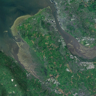
Wirral (; ), known locally as The Wirral, is a peninsula in North West England. The roughly rectangular peninsula is about long and wide and is bounded by the River Dee to the west (forming the boundary with Wales), the River Mersey to the east, and the Irish Sea to the north. Historically, the Wirral was wholly in Cheshire; in the Domesday Book, its border with the rest of the county was placed at "two arrow falls from Chester city walls". However, since the Local Government Act 1972, only the southern third has been in Cheshire, with almost all the rest lying in the Metropolitan Borough of Wirral, Merseyside. An area of saltmarsh to the south-west of the peninsula lies in the Welsh county of Flintshire. The most extensive urban development is on the eastern side of the peninsula. The Wirral contains both affluent and deprived areas, with affluent areas largely in the west, south and north of the peninsula, and deprived areas concentrated in the east, especial ... [...More Info...] [...Related Items...] OR: [Wikipedia] [Google] [Baidu] |
Thurstaston
Thurstaston is a village on the Wirral Peninsula, Merseyside, England. It is part of the West Kirby and Thurstaston Ward of the Metropolitan Borough of Wirral and the parliamentary constituency of Wirral West. The village lies on the A540 road between Heswall and Caldy, although it extends some distance down Station Road to the Wirral Way and the River Dee estuary. At the time of the 2001 census, the village itself had only 160 inhabitants, although the national census included Caldy and parts of Irby, bringing the total population to 15,548. History Thurstaston means "village of a man called Thorsteinn/Þorsteinn", from the Old Norse personal name ''Thorsteinn''/''Þorsteinn'' and Old English ''tún'' "farm, village". A record of the name as ''Torstestiune'' in 1048 proves this origin. The village was mentioned in the Domesday Book of 1086 as ''Turstanetone''. Historically and popularly, the name was wrongly thought to refer to "Thor's Stone", a sandstone outcrop on ... [...More Info...] [...Related Items...] OR: [Wikipedia] [Google] [Baidu] |
Paton Field
Paton Field is located on Telegraph Road, in Thurstaston, Wirral Peninsula, England England is a country that is part of the United Kingdom. It shares land borders with Wales to its west and Scotland to its north. The Irish Sea lies northwest and the Celtic Sea to the southwest. It is separated from continental Europe b .... The stadium is the home of Caldy RFC. References External links Official Caldy RFC website Buildings and structures in the Metropolitan Borough of Wirral Rugby union stadiums in England {{England-sports-venue-stub ... [...More Info...] [...Related Items...] OR: [Wikipedia] [Google] [Baidu] |
Bedford
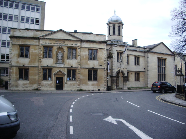
Bedford is a market town in Bedfordshire, England. At the 2011 Census, the population of the Bedford built-up area (including Biddenham and Kempston) was 106,940, making it the second-largest settlement in Bedfordshire, behind Luton, whilst the Borough of Bedford had a population of 157,479. Bedford is also the historic county town of Bedfordshire. Bedford was founded at a ford on the River Great Ouse and is thought to have been the burial place of King Offa of Mercia, who is remembered for building Offa's Dyke on the Welsh border. Bedford Castle was built by Henry I of England, Henry I, although it was destroyed in 1224. Bedford was granted borough status in 1165 and has been represented in Parliament since 1265. It is known for its large Italians in the United Kingdom, population of Italian descent. History The name of the town is believed to derive from the name of a Saxon chief called Beda, and a Ford (crossing), ford crossing the River Great Ouse. Bedford was a marke ... [...More Info...] [...Related Items...] OR: [Wikipedia] [Google] [Baidu] |
Goldington Road
Goldington Road is a rugby ground in the De Parys area of Bedford, Bedfordshire, England. It is the home stadium of Bedford Blues. As of 2019 the stadium holds 5,000 people (down from 6,000). The stadium also has two hospitality boxes, "The Larry Webb Room" and "The Lifesure Suite," which can cater for 12 to 20 people respectively in addition to "The Blues Marquee." There is one stand (the Charles Wells Stand) with the remaining areas being standing room - There is an uncovered temporary stand in the south east corner of the ground. History Following an amalgamation between Bedford Rovers (1876) and Bedford Swifts (1882), both with connections to Bedford School and Bedford Modern School, there were two main sites where pitches could be made available. One was known as 'The House of Industry' ground in Goldington Road. This was the field in front of the House of Industry -now known as the North Wing Hospital. This is approximately where Bedford play now. The other site was known ... [...More Info...] [...Related Items...] OR: [Wikipedia] [Google] [Baidu] |
Bedfordshire
Bedfordshire (; abbreviated Beds) is a ceremonial county in the East of England. The county has been administered by three unitary authorities, Borough of Bedford, Central Bedfordshire and Borough of Luton, since Bedfordshire County Council was abolished in 2009. Bedfordshire is bordered by Cambridgeshire to the east and north-east, Northamptonshire to the north, Buckinghamshire to the west and Hertfordshire to the south-east and south. It is the fourteenth most densely populated county of England, with over half the population of the county living in the two largest built-up areas: Luton (258,018) and Bedford (106,940). The highest elevation point is on Dunstable Downs in the Chilterns. History The first recorded use of the name in 1011 was "Bedanfordscir," meaning the shire or county of Bedford, which itself means "Beda's ford" (river crossing). Bedfordshire was historically divided into nine hundreds: Barford, Biggleswade, Clifton, Flitt, Manshead, Redbo ... [...More Info...] [...Related Items...] OR: [Wikipedia] [Google] [Baidu] |
Ampthill
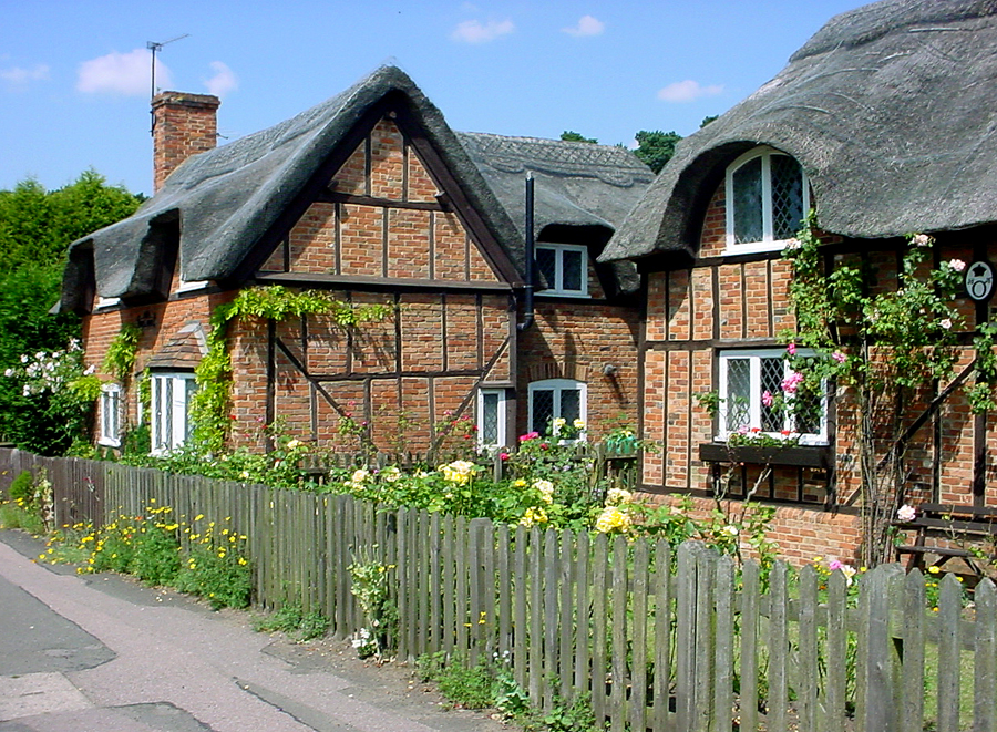
Ampthill () is a town and civil parish in Bedfordshire, England, between Bedford and Luton, with a population estimate of 8,100 (Mid year estimate 2017 from the ONS). It is administered bAmpthill Town Council The ward of Ampthill which also includes Maulden and Clophill has an estimated population of 13,280 and is administered by Central Bedfordshire Council. History The name 'Ampthill' is of Anglo-Saxon origin. The first settlement was called 'Aemethyll', which literally means either 'ant-heap' or 'ant infested hill'. In the Domesday Book, Ampthill is referred to as 'Ammetelle', with the landholder in 1086 being Nigel de la Vast. The actual entry reads: ''Ammetelle: Nigel de la Vast from Nigel d'Aubigny.'' A further variation may be 'Hampthull', in 1381. In 1219 King Henry III granted a charter for a weekly market to be held on a Thursday. In 2019 the market celebrated 800 years. Henry VIII was a frequent visitor to Ampthill Castle, and it was there that Catherine of Arag ... [...More Info...] [...Related Items...] OR: [Wikipedia] [Google] [Baidu] |


