|
Russell, Massachusetts
Russell is a town in Hampden County, Massachusetts, United States. The population was 1,643 at the 2020 census. It is part of the Springfield, Massachusetts Metropolitan Statistical Area. Geography Russell is in western Hampden County, bordered by Granville to the south, Blandford to the west, Huntington to the north, Montgomery to the northeast and Westfield to the southeast. The main village, Russell, is in the northwest part of town and is a census-designated place. The village of Woronoco is in the eastern part of town. Both villages are along the Westfield River and are connected by U.S. Route 20, which leads southeast to Westfield and northwest to Lee. Interstate 90, the Massachusetts Turnpike, crosses the center of Russell, but has no exits in the town. According to the United States Census Bureau, the town of Russell has a total area of , of which are land and , or 2.39%, are water. The town has two very different sections: South Quarter is mainly uplands at ... [...More Info...] [...Related Items...] OR: [Wikipedia] [Google] [Baidu] |
List Of Sovereign States
The following is a list providing an overview of sovereign states around the world with information on their status and recognition of their sovereignty. The 206 listed states can be divided into three categories based on membership within the United Nations System: 193 member states of the United Nations, UN member states, 2 United Nations General Assembly observers#Present non-member observers, UN General Assembly non-member observer states, and 11 other states. The ''sovereignty dispute'' column indicates states having undisputed sovereignty (188 states, of which there are 187 UN member states and 1 UN General Assembly non-member observer state), states having disputed sovereignty (16 states, of which there are 6 UN member states, 1 UN General Assembly non-member observer state, and 9 de facto states), and states having a political status of the Cook Islands and Niue, special political status (2 states, both in associated state, free association with New Zealand). Compi ... [...More Info...] [...Related Items...] OR: [Wikipedia] [Google] [Baidu] |
Montgomery, Massachusetts
Montgomery is a town in Hampden County, Massachusetts, United States. The population was 819 at the 2020 census. It is part of the Springfield, Massachusetts Metropolitan Statistical Area. History Montgomery was first settled in 1767 and was officially incorporated in 1780. The town was named after General Richard Montgomery, who died in the Battle of Quebec. It took land from Westfield, Southampton, and unincorporated land that is now Huntington. A small town, it grew bigger when Interstate 90 was built in 1957 and has served as an outer commuter town to Springfield. Geography According to the United States Census Bureau, the town has a total area of , of which is land and (0.86%) is water. Montgomery is bordered by Southampton to the northeast, Westfield to the southeast, Russell to the southwest, and Huntington to the northwest. Its border with the towns of Huntington and Southampton make up a portion of the Hampden-Hampshire county border. The center of Montgomery lies ... [...More Info...] [...Related Items...] OR: [Wikipedia] [Google] [Baidu] |
Puritans
The Puritans were English Protestants in the 16th and 17th centuries who sought to purify the Church of England of Catholic Church, Roman Catholic practices, maintaining that the Church of England had not been fully reformed and should become more Protestant. Puritanism played a significant role in English history, especially during the Protectorate. Puritans were dissatisfied with the limited extent of the English Reformation and with the Church of England's toleration of certain practices associated with the Roman Catholic Church. They formed and identified with various religious groups advocating greater purity of worship and doctrine, as well as personal and corporate piety. Puritans adopted a Reformed theology, and in that sense they were Calvinists (as were many of their earlier opponents). In church polity, some advocated separation from all other established Christian denominations in favour of autonomous gathered churches. These English Dissenters, Separatist and Indepe ... [...More Info...] [...Related Items...] OR: [Wikipedia] [Google] [Baidu] |
Pioneer Valley
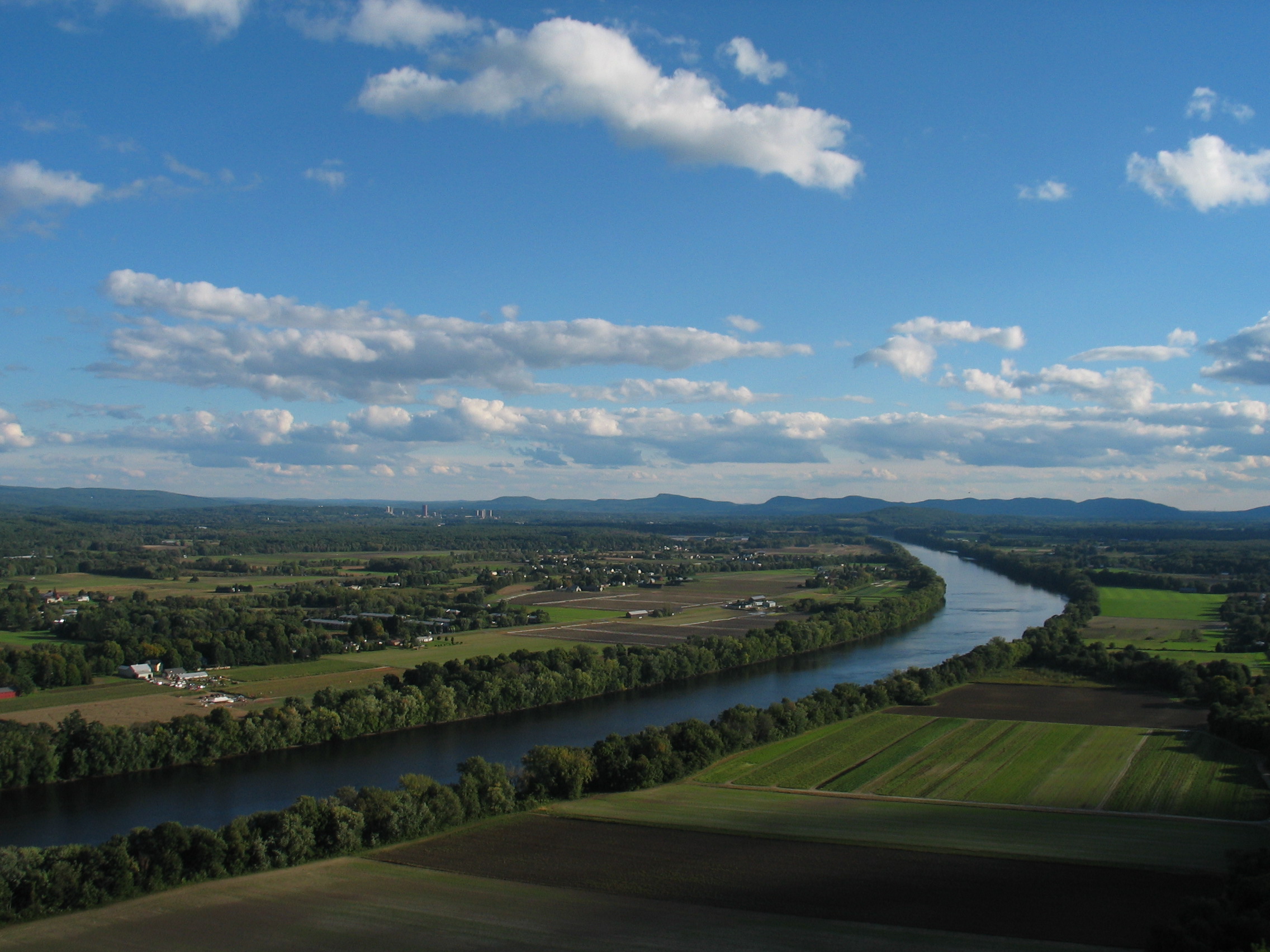
The Pioneer Valley is the colloquial and promotional name for the portion of the Connecticut River Valley that is in Massachusetts in the United States. It is generally taken to comprise the three counties of Hampden, Hampshire, and Franklin. The lower Pioneer Valley corresponds to the Springfield, Massachusetts metropolitan area, the region's urban center, and the seat of Hampden County. The upper Pioneer Valley region includes the smaller cities of Northampton and Greenfield, the county seats of Hampshire and Franklin counties, respectively. Historically the northern part of the Valley was an agricultural region, known for growing Connecticut shade tobacco and other specialty crops like Hadley asparagus; however, since the late 19th century its economy has become increasingly a knowledge economy, due to the prominence of the Five Colleges in Hampshire County. Similarly the Springfield- Chicopee-Holyoke economies transformed from volume producers of goods such as ... [...More Info...] [...Related Items...] OR: [Wikipedia] [Google] [Baidu] |
Connecticut River
The Connecticut River is the longest river in the New England region of the United States, flowing roughly southward for through four states. It rises 300 yards (270 m) south of the U.S. border with Quebec, Canada, and discharges at Long Island Sound. Its watershed encompasses , covering parts of five U.S. states and one Canadian province, via 148 tributaries, 38 of which are major rivers. It produces 70% of Long Island Sound's fresh water, discharging at per second. The Connecticut River Valley is home to some of the northeastern United States' most productive farmland, as well as the Hartford–Springfield Knowledge Corridor, a metropolitan region of approximately two million people surrounding Springfield, Massachusetts, and Hartford, Connecticut. History The word "Connecticut" is a corruption of the Mohegan word ''quinetucket'', which means "beside the long, tidal river". The word came into English during the early 1600s to name the river, which was also called simply ... [...More Info...] [...Related Items...] OR: [Wikipedia] [Google] [Baidu] |
Mesozoic Era
The Mesozoic Era ( ), also called the Age of Reptiles, the Age of Conifers, and colloquially as the Age of the Dinosaurs is the second-to-last era of Earth's geological history, lasting from about , comprising the Triassic, Jurassic and Cretaceous Periods. It is characterized by the dominance of archosaurian reptiles, like the dinosaurs; an abundance of conifers and ferns; a hot greenhouse climate; and the tectonic break-up of Pangaea. The Mesozoic is the middle of the three eras since complex life evolved: the Paleozoic, the Mesozoic, and the Cenozoic. The era began in the wake of the Permian–Triassic extinction event, the largest well-documented mass extinction in Earth's history, and ended with the Cretaceous–Paleogene extinction event, another mass extinction whose victims included the non-avian dinosaurs, pterosaurs, mosasaurs, and plesiosaurs. The Mesozoic was a time of significant tectonic, climatic, and evolutionary activity. The era witnessed the gradual rif ... [...More Info...] [...Related Items...] OR: [Wikipedia] [Google] [Baidu] |
Rift Valley
A rift valley is a linear shaped lowland between several highlands or mountain ranges created by the action of a geologic rift. Rifts are formed as a result of the pulling apart of the lithosphere due to extensional tectonics. The linear depression may subsequently be further deepened by the forces of erosion. More generally the valley is likely to be filled with sedimentary deposits derived from the rift flanks and the surrounding areas. In many cases rift lakes are formed. One of the best known examples of this process is the East African Rift. On Earth, rifts can occur at all elevations, from the sea floor to plateaus and mountain ranges in continental crust or in oceanic crust. They are often associated with a number of adjoining subsidiary or co-extensive valleys, which are typically considered part of the principal rift valley geologically. Earth's rift valleys The most extensive rift valley is located along the crest of the mid-ocean ridge system and is the result o ... [...More Info...] [...Related Items...] OR: [Wikipedia] [Google] [Baidu] |
United States Census Bureau
The United States Census Bureau (USCB), officially the Bureau of the Census, is a principal agency of the U.S. Federal Statistical System, responsible for producing data about the American people and economy An economy is an area of the production, distribution and trade, as well as consumption of goods and services. In general, it is defined as a social domain that emphasize the practices, discourses, and material expressions associated with t .... The Census Bureau is part of the United States Department of Commerce, U.S. Department of Commerce and its Director of the United States Census Bureau, director is appointed by the President of the United States. The Census Bureau's primary mission is conducting the United States census, U.S. census every ten years, which allocates the seats of the U.S. House of Representatives to the U.S. state, states based on their population. The bureau's various censuses and surveys help allocate over $675 billion in federal funds e ... [...More Info...] [...Related Items...] OR: [Wikipedia] [Google] [Baidu] |
Massachusetts Turnpike
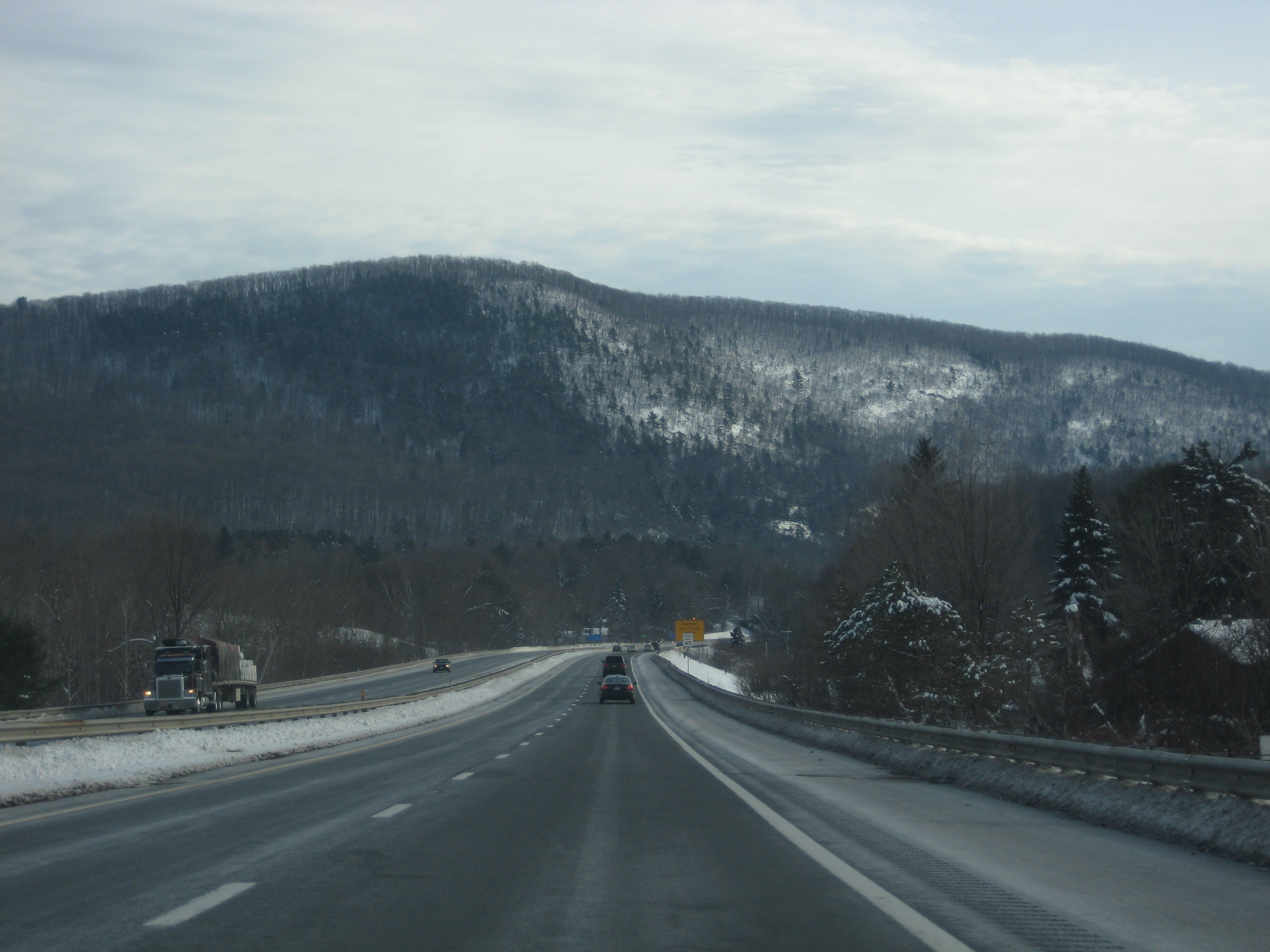
The Massachusetts Turnpike (colloquially "Mass Pike" or "the Pike") is a toll highway in the US state of Massachusetts that is maintained by the Massachusetts Department of Transportation (MassDOT). The turnpike begins at the New York state line in West Stockbridge, linking with the Berkshire Connector portion of the New York State Thruway. Spanning along an east–west axis, the turnpike constitutes the Massachusetts section of Interstate 90 (I-90). The turnpike is the longest Interstate Highway in Massachusetts, while I-90, in full (which begins in Seattle, Washington), is the longest Interstate Highway in the United States. The turnpike opened in 1957, and it was designated as part of the Interstate Highway System in 1959. The original western terminus of the turnpike was located at Route 102 in West Stockbridge before I-90 had been completed in New York state. The turnpike intersects with several Interstate Highways as it traverses the state, including I-9 ... [...More Info...] [...Related Items...] OR: [Wikipedia] [Google] [Baidu] |
Interstate 90
Interstate 90 (I-90) is an east–west transcontinental freeway and the longest Interstate Highway in the United States at . It begins in Seattle, Washington, and travels through the Pacific Northwest, Mountain West, Great Plains, Midwest, and the Northeast, ending in Boston, Massachusetts. The highway serves 13 states and has 16 auxiliary routes, primarily in major cities such as Chicago, Cleveland, Buffalo, and Rochester. I-90 begins at Washington State Route 519 in Seattle and crosses the Cascade Range in Washington and the Rocky Mountains in Montana. It then traverses the northern Great Plains and travels southeast through Wisconsin and the Chicago area by following the southern shore of Lake Michigan. The freeway continues across Indiana and follows the shore of Lake Erie through Ohio and Pennsylvania to Buffalo. I-90 travels across New York by roughly following the historic Erie Canal and traverses Massachusetts, reaching its eastern terminus at Massachusetts Route ... [...More Info...] [...Related Items...] OR: [Wikipedia] [Google] [Baidu] |
Lee, Massachusetts
Lee is a town in Berkshire County, Massachusetts, United States. It is part of the Pittsfield, Massachusetts, metropolitan statistical area. The population was 5,788 at the 2020 census. Lee, which includes the villages of South and East Lee, is part of the Berkshires resort area. History Lee occupies land that was originally territory of Mahican Indians. The first non-native settlement in the area was known as Dodgetown as early as 1760. Dodgetown was named after its founding settler, Asahel Dodge, who immigrated to the area from Cape Cod. Lee was incorporated in 1777 from parts of Great Barrington and Washington. It is named after Revolutionary War General Charles Lee. Lee is a former mill town. In the autumn of 1786 during Shays' Rebellion, about 250 followers of Daniel Shays encountered state troops commanded by General John Paterson near East Lee. The Shaysites paraded a fake cannon crafted from a yarn beam, and the troops fled. Early industries included agricultu ... [...More Info...] [...Related Items...] OR: [Wikipedia] [Google] [Baidu] |
Westfield River
The Westfield River is a major tributary of the Connecticut River located in the Berkshires and Pioneer Valley regions of western Massachusetts. With four major tributary branches that converge west of the city of Westfield, it flows (measured from the source of its North Branch) before its confluence with the Connecticut River at Agawam, across from the city of Springfield's Metro Center district.National Wild & Scenic Westfield River [Map & Segment Descriptions] Westfieldriverwildscenic.org. Retrieved on 2013-07-15.U.S. Geological Survey. National Hydrography Dataset high-resolution flowline data The National Map [...More Info...] [...Related Items...] OR: [Wikipedia] [Google] [Baidu] |


