|
Rushup
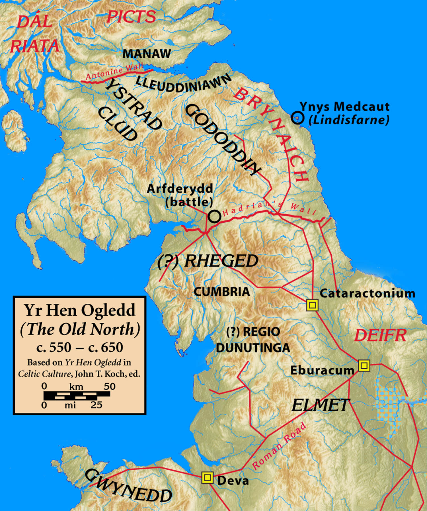
Rushop or RushupMarked as "Rushop" on the modern Ordnance Survey map and the house sign, but all the nearby features sharing this name (Rushup Farm, Rushup Edge etc.) use the "Rushup" spelling, as does the 1940s map. is a small North Derbyshire village. It is in the town of Chapel-en-le-Frith. Agriculture has until recently been the main occupation in the village. At present very few of the residents work in Rushop and several of the houses are second homes only occupied at weekends and holidays. There is archaeological and documentary evidence that there was a settlement at this site since before the Roman invasion of Britain. The settlement is alleged to have been a British village, under nominal Anglo Saxon rule after the fall of the area to Angles from Bernicia around 590, mainly due to the lack of Anglo Saxon placenames in the valley and the presence of names, such as Eccles, Inch and Pen-, which have origins in a Brythonic language of Britain Britain most often refers to: ... [...More Info...] [...Related Items...] OR: [Wikipedia] [Google] [Baidu] |
Rushup Edge
Rushup Edge is a ridge in the Derbyshire Peak District of England. The ridge's highest point is Lord's Seat at , while Mam Tor lies beyond its eastern end, at the western end of the Great Ridge. Lord's Seat is the site of a round barrow. Geology Rushup Edge is part of the ridge which extends east to Mam Tor, Hollins Cross, Back Tor and Lose Hill, separating the Edale and Hope valleys. The ridge is formed of Namurian (c320mya) age Mam Tor Beds (alternating sandstone and siltstone) and landslides on the north have formed colluvium. Protest In October 2014, mountain bikers, walkers, horse riders, climbers and conservationists held a protest against Derbyshire County Council maintenance work on the byway that runs along Rushup Edge. They were upset at the insensitive nature of the work, the cost, the environmental impact and the apparent lack of consultation with them before works began. Derbyshire County Council halted the work to speak with protesters in December 2014. See a ... [...More Info...] [...Related Items...] OR: [Wikipedia] [Google] [Baidu] |
High Peak, Derbyshire
High Peak is a local government district with borough status in Derbyshire, England. The borough compromises high moorland plateau in the Dark Peak area of the Peak District National Park. The district stretches from Holme Moss in the north to Sterndale Moor in the south, and from Hague Bar in the west to Bamford in the east. The population of the borough taken at the 2011 Census was 90,892. The borough is unusual in having two administrative centres for its council, High Peak Borough Council; the offices are based in both Buxton and Glossop. The borough also contains other towns including Chapel-en-le-Frith, Hadfield, New Mills and Whaley Bridge. High Peak was the name of a hundred of the ancient county of Derbyshire covering roughly the same area as the current district. It may have derived its name from the ancient Forest of High Peak, a royal hunting reserve administered by William Peverel, a favourite of William I, who was based at Peak Castle. High Peak contains much ... [...More Info...] [...Related Items...] OR: [Wikipedia] [Google] [Baidu] |
Derbyshire
Derbyshire ( ) is a ceremonial county in the East Midlands, England. It includes much of the Peak District National Park, the southern end of the Pennine range of hills and part of the National Forest. It borders Greater Manchester to the north-west, West Yorkshire to the north, South Yorkshire to the north-east, Nottinghamshire to the east, Leicestershire to the south-east, Staffordshire to the west and south-west and Cheshire to the west. Kinder Scout, at , is the highest point and Trent Meadows, where the River Trent leaves Derbyshire, the lowest at . The north–south River Derwent is the longest river at . In 2003, the Ordnance Survey named Church Flatts Farm at Coton in the Elms, near Swadlincote, as Britain's furthest point from the sea. Derby is a unitary authority area, but remains part of the ceremonial county. The county was a lot larger than its present coverage, it once extended to the boundaries of the City of Sheffield district in South Yorkshire where it cov ... [...More Info...] [...Related Items...] OR: [Wikipedia] [Google] [Baidu] |
Agriculture
Agriculture or farming is the practice of cultivating plants and livestock. Agriculture was the key development in the rise of sedentary human civilization, whereby farming of domesticated species created food surpluses that enabled people to live in cities. The history of agriculture began thousands of years ago. After gathering wild grains beginning at least 105,000 years ago, nascent farmers began to plant them around 11,500 years ago. Sheep, goats, pigs and cattle were domesticated over 10,000 years ago. Plants were independently cultivated in at least 11 regions of the world. Industrial agriculture based on large-scale monoculture in the twentieth century came to dominate agricultural output, though about 2 billion people still depended on subsistence agriculture. The major agricultural products can be broadly grouped into foods, fibers, fuels, and raw materials (such as rubber). Food classes include cereals (grains), vegetables, fruits, cooking oils, meat, milk, ... [...More Info...] [...Related Items...] OR: [Wikipedia] [Google] [Baidu] |
Roman Invasion Of Britain
The Roman conquest of Britain refers to the conquest of the island of Britain by occupying Roman forces. It began in earnest in AD 43 under Emperor Claudius, and was largely completed in the southern half of Britain by 87 when the Stanegate was established. Conquest of the far north and Scotland took longer with fluctuating success. The Roman army was generally recruited in Italia, Hispania, and Gaul. To control the English Channel they used the newly formed fleet. The Romans under their general Aulus Plautius first forced their way inland in several battles against British tribes, including the Battle of the Medway, the Battle of the Thames, and in later years Caratacus's last battle and the Roman conquest of Anglesey. Following a widespread uprising in AD 60 in which Boudica sacked Camulodunum, VerulamiumChurchill, ''A History of the English-Speaking Peoples'', p. 7 and Londinium, the Romans suppressed the rebellion in the Defeat of Boudica. They went on eventually to ... [...More Info...] [...Related Items...] OR: [Wikipedia] [Google] [Baidu] |
Britain In The Middle Ages
During most of the Middle Ages (c. 410–1485 AD), the island of Great Britain was divided into several kingdoms. The following articles address this period of history in each of the major kingdoms: *England in the Middle Ages **Anglo-Saxon England (600–1066) ** England in the High Middle Ages (1066–c. 1216) **England in the Late Middle Ages (c. 1216–1485) *Scotland in the Middle Ages **Scotland in the Early Middle Ages (400–900) **Scotland in the High Middle Ages (900–1286) **Scotland in the Late Middle Ages (1286–1513) *Wales in the Middle Ages **Wales in the Early Middle Ages (c. 383–c. 825) **Wales in the High Middle Ages (c. 825–1282) **Wales in the Late Middle Ages (1282–1542) Middle Ages In the history of Europe, the Middle Ages or medieval period lasted approximately from the late 5th to the late 15th centuries, similar to the post-classical period of global history. It began with the fall of the Western Roman Empire a ... Middle Ages ... [...More Info...] [...Related Items...] OR: [Wikipedia] [Google] [Baidu] |
Anglo-Saxons
The Anglo-Saxons were a Cultural identity, cultural group who inhabited England in the Early Middle Ages. They traced their origins to settlers who came to Britain from mainland Europe in the 5th century. However, the ethnogenesis of the Anglo-Saxons happened within Britain, and the identity was not merely imported. Anglo-Saxon identity arose from interaction between incoming groups from several Germanic peoples, Germanic tribes, both amongst themselves, and with Celtic Britons, indigenous Britons. Many of the natives, over time, adopted Anglo-Saxon culture and language and were assimilated. The Anglo-Saxons established the concept, and the Kingdom of England, Kingdom, of England, and though the modern English language owes somewhat less than 26% of its words to their language, this includes the vast majority of words used in everyday speech. Historically, the Anglo-Saxon period denotes the period in Britain between about 450 and 1066, after Anglo-Saxon settlement of Britain, th ... [...More Info...] [...Related Items...] OR: [Wikipedia] [Google] [Baidu] |
Angles
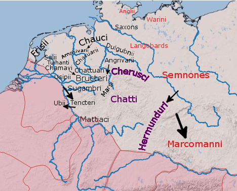
The Angles ( ang, Ængle, ; la, Angli) were one of the main Germanic peoples who settled in Great Britain in the post-Roman period. They founded several kingdoms of the Heptarchy in Anglo-Saxon England. Their name is the root of the name ''England'' ("land of Ængle"). According to Tacitus, writing around 100 AD, a people known as Angles (Anglii) lived east of the Langobards and Semnones, who lived near the Elbe river. Etymology The name of the Angles may have been first recorded in Latinised form, as ''Anglii'', in the ''Germania'' of Tacitus. It is thought to derive from the name of the area they originally inhabited, the Anglia Peninsula (''Angeln'' in modern German, ''Angel'' in Danish). Multiple theories concerning the etymology of the name have been hypothesised: # According to Gesta Danorum Dan and Angul (Angel) were made rulers by the consent of their people because of their bravery. Dan gave name to Danes and Angel gave names to Angles. # It originated from ... [...More Info...] [...Related Items...] OR: [Wikipedia] [Google] [Baidu] |
Bernicia
Bernicia ( ang, Bernice, Bryneich, Beornice; la, Bernicia) was an Anglo-Saxon kingdom established by Anglian settlers of the 6th century in what is now southeastern Scotland and North East England. The Anglian territory of Bernicia was approximately equivalent to the modern English counties of Northumberland, Tyne and Wear, and Durham, as well as the Scottish counties of Berwickshire and East Lothian, stretching from the Forth to the Tees. In the early 7th century, it merged with its southern neighbour, Deira, to form the kingdom of Northumbria, and its borders subsequently expanded considerably. Brittonic ''Bryneich'' Etymologies Bernicia occurs in Old Welsh poetry as ''Bryneich'' or ''Brynaich'' and in the 9th-century ''Historia Brittonum'', (§ 61) as ''Berneich'' or ''Birneich''. This was most likely the name of the native Brittonic kingdom , whose name was then adopted by the Anglian settlers who rendered it in Old English as ''Bernice'' or ''Beornice'' . The coun ... [...More Info...] [...Related Items...] OR: [Wikipedia] [Google] [Baidu] |
Brythonic Languages
The Brittonic languages (also Brythonic or British Celtic; cy, ieithoedd Brythonaidd/Prydeinig; kw, yethow brythonek/predennek; br, yezhoù predenek) form one of the two branches of the Insular Celtic language family; the other is Goidelic. The name ''Brythonic'' was derived by Welsh Celticist John Rhys from the Welsh word , meaning Ancient Britons as opposed to an Anglo-Saxon or Gael. The Brittonic languages derive from the Common Brittonic language, spoken throughout Great Britain during the Iron Age and Roman period. In the 5th and 6th centuries emigrating Britons also took Brittonic speech to the continent, most significantly in Brittany and Britonia. During the next few centuries the language began to split into several dialects, eventually evolving into Welsh, Cornish, Breton, Cumbric, and probably Pictish. Welsh and Breton continue to be spoken as native languages, while a revival in Cornish has led to an increase in speakers of that language. Cumbric and Pictish ... [...More Info...] [...Related Items...] OR: [Wikipedia] [Google] [Baidu] |
Great Britain
Great Britain is an island in the North Atlantic Ocean off the northwest coast of continental Europe. With an area of , it is the largest of the British Isles, the largest European island and the ninth-largest island in the world. It is dominated by a maritime climate with narrow temperature differences between seasons. The 60% smaller island of Ireland is to the west—these islands, along with over 1,000 smaller surrounding islands and named substantial rocks, form the British Isles archipelago. Connected to mainland Europe until 9,000 years ago by a landbridge now known as Doggerland, Great Britain has been inhabited by modern humans for around 30,000 years. In 2011, it had a population of about , making it the world's third-most-populous island after Java in Indonesia and Honshu in Japan. The term "Great Britain" is often used to refer to England, Scotland and Wales, including their component adjoining islands. Great Britain and Northern Ireland now constitute the ... [...More Info...] [...Related Items...] OR: [Wikipedia] [Google] [Baidu] |
Villages In Derbyshire
A village is a clustered human settlement or community, larger than a hamlet but smaller than a town (although the word is often used to describe both hamlets and smaller towns), with a population typically ranging from a few hundred to a few thousand. Though villages are often located in rural areas, the term urban village is also applied to certain urban neighborhoods. Villages are normally permanent, with fixed dwellings; however, transient villages can occur. Further, the dwellings of a village are fairly close to one another, not scattered broadly over the landscape, as a dispersed settlement. In the past, villages were a usual form of community for societies that practice subsistence agriculture, and also for some non-agricultural societies. In Great Britain, a hamlet earned the right to be called a village when it built a church. [...More Info...] [...Related Items...] OR: [Wikipedia] [Google] [Baidu] |


