|
Robert John Woods
Robert John Woods (January 7, 1859 – June 19, 1944) was a Canadian farmer and political figure. He represented Dufferin (electoral district), Dufferin in the House of Commons of Canada as a Progressive Party of Canada, Progressive member from 1921 to 1925. Woods was born in Gorrie, Ontario, Gorrie, Huron County, Ontario, Huron County, Canada West and later moved to Carrick Township, Ontario, Carrick Township in Bruce County, Ontario, Bruce County with his family. He purchased a farm in Melancthon, Ontario, Melancthon Township in Dufferin County, Ontario, Dufferin County, where he served on the township council and later became reeve. Woods ran unsuccessfully for a seat in the provincial assembly in 1907 and 1908 as a Temperance Conservative. He was defeated in his bid for reelection in 1925. In 1937, he moved near Guelph. External links *''History of Dufferin County'', S Sawden (1952) 1859 births 1944 deaths Progressive Party of Canada MPs Members of the House of C ... [...More Info...] [...Related Items...] OR: [Wikipedia] [Google] [Baidu] |
Howick, Ontario
The Township of Howick is a municipality in Huron County, Ontario, Canada. It is located in the northeast corner of Huron County near the Bruce County border, east of Wingham. Its largest communities are Fordwich, Gorrie and Wroxeter. Smaller hamlets include Belmore and Lakelet. Rural areas comprise the remainder of the township. The township's municipal offices, road works facility, public school, arena and library are located between Fordwich and Gorrie on Huron Road 87 (formerly Ontario Highway 87). History Although Howick Township was one of the four Huron County Townships created out of the Queen's Bush by the Wilkinson survey of 1847, the first settler did not arrive until 1851, and the next in 1853. The township was named after George Grey who entered Parliament in 1829 as Lord Howick, taking the name from Howick Hall, his family's estate in England. In 1854, the lots in the township were put up for sale, resulting in a wave of settlement. During a series of municipal am ... [...More Info...] [...Related Items...] OR: [Wikipedia] [Google] [Baidu] |
Canada West
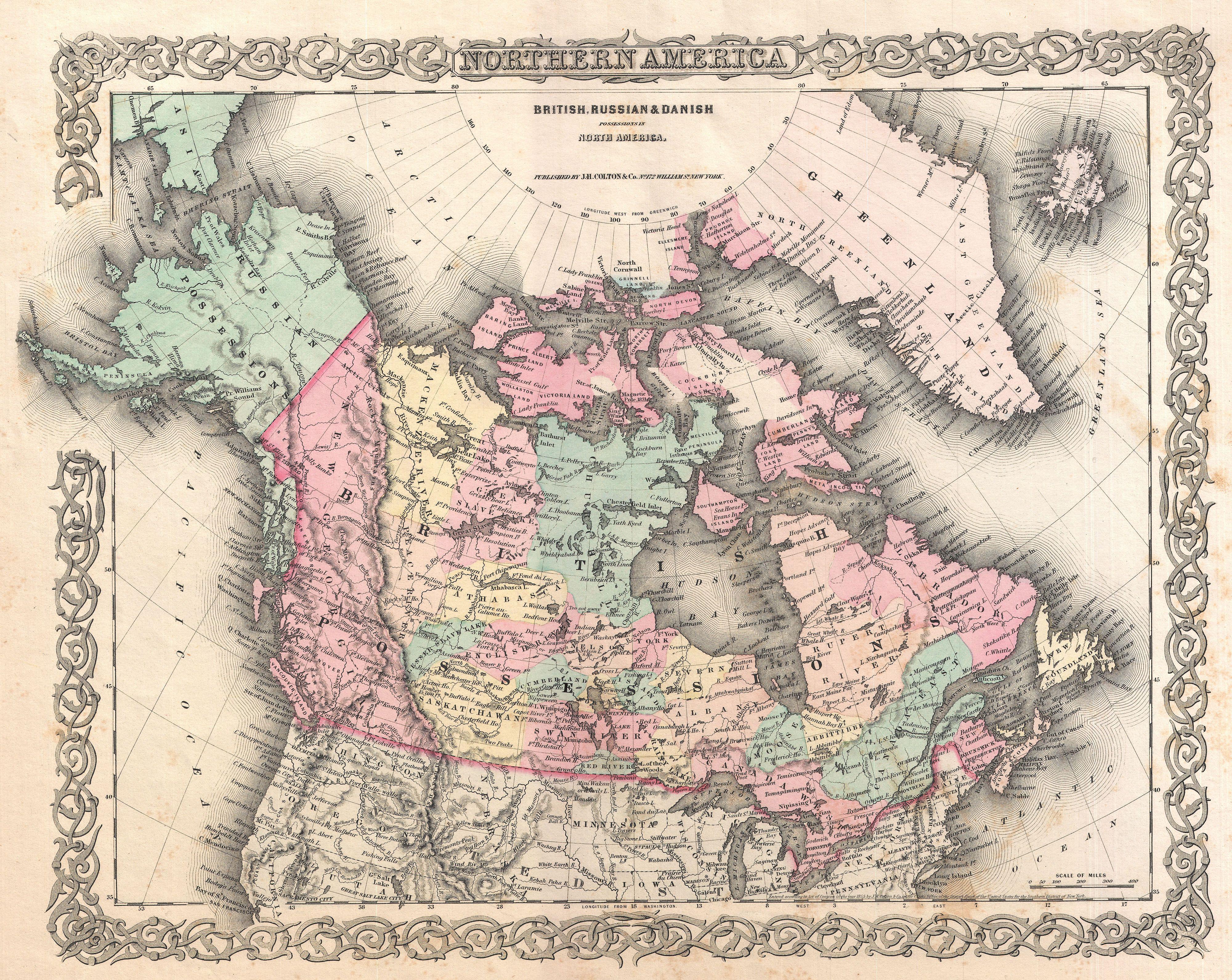
The Province of Canada (or the United Province of Canada or the United Canadas) was a British colony in North America from 1841 to 1867. Its formation reflected recommendations made by John Lambton, 1st Earl of Durham, in the Report on the Affairs of British North America following the Rebellions of 1837–1838. The Act of Union 1840, passed on 23 July 1840 by the British Parliament and proclaimed by the Crown on 10 February 1841, merged the Colonies of Upper Canada and Lower Canada by abolishing their separate parliaments and replacing them with a single one with two houses, a Legislative Council as the upper chamber and the Legislative Assembly as the lower chamber. In the aftermath of the Rebellions of 1837–1838, unification of the two Canadas was driven by two factors. Firstly, Upper Canada was near bankruptcy because it lacked stable tax revenues, and needed the resources of the more populous Lower Canada to fund its internal transportation improvements. Secondly, ... [...More Info...] [...Related Items...] OR: [Wikipedia] [Google] [Baidu] |
House Of Commons Of Canada
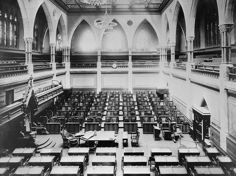
The House of Commons of Canada (french: Chambre des communes du Canada) is the lower house of the Parliament of Canada. Together with the Crown and the Senate of Canada, they comprise the bicameral legislature of Canada. The House of Commons is a democratically elected body whose members are known as members of Parliament (MPs). There have been 338 MPs since the most recent electoral district redistribution for the 2015 federal election, which saw the addition of 30 seats. Members are elected by simple plurality ("first-past-the-post" system) in each of the country's electoral districts, which are colloquially known as ''ridings''. MPs may hold office until Parliament is dissolved and serve for constitutionally limited terms of up to five years after an election. Historically, however, terms have ended before their expiry and the sitting government has typically dissolved parliament within four years of an election according to a long-standing convention. In any case, an ac ... [...More Info...] [...Related Items...] OR: [Wikipedia] [Google] [Baidu] |
Dufferin (electoral District)
Dufferin was a federal electoral district represented in the House of Commons of Canada from 1904 to 1925. It was located in the province of Ontario. This riding was created in 1903 from parts of Cardwell, Grey East, Simcoe South, Wellington Centre and Wellington North ridings. It consisted of the county of Dufferin. The electoral district was abolished in 1924 when it was merged with Simcoe South to create the new electoral district of Dufferin—Simcoe. Election results On Mr. Barr's death, 19 November 1909: See also * List of Canadian federal electoral districts * Past Canadian electoral districts External links Riding history from theLibrary of Parliament The Library of Parliament (french: Bibliothèque du Parlement) is the main information repository and research resource for the Parliament of Canada. The main branch of the library sits at the rear of the Centre Block on Parliament Hill in Ottawa ... {{coord missing, Ontario Former f ... [...More Info...] [...Related Items...] OR: [Wikipedia] [Google] [Baidu] |
Progressive Party Of Canada
The Progressive Party of Canada, formally the National Progressive Party, was a federal-level political party in Canada in the 1920s until 1930. It was linked with the provincial United Farmers parties in several provinces, and it spawned the Progressive Party of Saskatchewan, and the Progressive Party of Manitoba, which formed the government of that province. The Progressive Party was part of the farmers' political movement that included federal and provincial Progressive and United Farmers' parties. The United Farmers movement in Canada rose to prominence after World War I. With the failure of the wartime Union government to alter a tariff structure that hurt farmers, various farmers movements across Canada became more radical and entered the political arena. The United Farmers movement was tied to the federal Progressive Party of Canada and formed provincial governments in Ontario, Alberta and Manitoba. It rejected the National Policy of the Conservatives, and felt that the ... [...More Info...] [...Related Items...] OR: [Wikipedia] [Google] [Baidu] |
Huron County, Ontario
Huron County is a county of the province of Ontario, Canada. It is located on the southeast shore of its namesake, Lake Huron, in the southwest part of the province. The county seat is Goderich, also the county's largest community. The population reported in the 2021 Census for this predominantly agricultural area with many villages and small towns was 61,366 in a land area of 3,399 square kilometres. Of the total population, 7,628 reside in Goderich. History File:HuronTract.JPG, Original extent of the Huron Tract. File:1850 Tallis Map of West Canada or Ontario ( includes Great Lakes ) - Geographicus - WestCanada-tallis-1850.jpg, Map of Canada West in 1850, with the Huron District outlined in brown. File:1857 Colton Map of Ontario, Canada - Geographicus - CanadaWest-colton-1857.jpg, Canada West in 1857. Huron County is marked in light pink. The portion of the Huron Tract ceded to the Canada Company was established as the "County of Huron" in 1835, with the exception of ce ... [...More Info...] [...Related Items...] OR: [Wikipedia] [Google] [Baidu] |
Carrick Township, Ontario
:''South Bruce is not to be confused with the Town of South Bruce Peninsula'' South Bruce is a municipality in Bruce County, Ontario, Canada. History South Bruce was created in 1999 as part of county-wide municipal restructuring. In 1998, the Township of Culross and the Village of Teeswater amalgamated to form the Township of Teeswater-Culross. Similarly, the Village of Mildmay joined with the Township of Carrick to form the Township of Mildmay-Carrick. The following year, both Mildmay-Carrick and Teeswater-Culross amalgamated again to form South Bruce, choosing Teeswater as the seat of the municipality. Communities The two main population centres in South Bruce are Mildmay and Teeswater. Other communities within the municipal boundaries are Carlsruhe, Deemerton, Formosa and Salem. Demographics In the 2021 Census of Population conducted by Statistics Canada, South Bruce had a population of living in of its total private dwellings, a change of from its 2016 population ... [...More Info...] [...Related Items...] OR: [Wikipedia] [Google] [Baidu] |
Bruce County, Ontario
Bruce County is a county in Southwestern Ontario, Canada comprising eight lower-tier municipalities and with a 2016 population of 66,491. It is named for James Bruce, 8th Earl of Elgin, James Bruce, 8th Earl of Elgin and 12th Earl of Kincardine, sixth Governor General of the Province of Canada. The Bruce name is also linked to the Bruce Trail and the Bruce Peninsula. It has three distinct areas. The Peninsula is part of the Niagara Escarpment and is known for its views, rock formations, cliffs, and hiking trails. The Lakeshore includes nearly 100 km of fresh water and soft sandy beaches. Finally, the Interior Region has a strong history in farming. History Cessions of First Nations lands The territory of the County arose from various surrenders of First Nations in Canada, First Nations lands. The bulk of the land arose from the Queen's Bush, as a result of the 1836 Saugeen Tract Agreement. This was followed by the cession of the Indian Strip in 1851, for a road between Owen ... [...More Info...] [...Related Items...] OR: [Wikipedia] [Google] [Baidu] |
Melancthon, Ontario
Melancthon is a rural Canadian township in the northwest corner of Dufferin County, Ontario, bordered on the east by Mulmur Township, Amaranth Township and East Luther Grand Valley to the south, Southgate Township to the west, and the Municipality of Grey Highlands to the north. The township does not include the town of Shelburne on its southern border. It has one of the lowest population densities in southwestern Ontario. The primary industry of the township is farming, with limited beef, dairy, sheep and horse farming. It is also home to the Melancthon EcoPower Centre wind farm. The township was founded in 1853 as a part of Grey County and transferred to Dufferin County in 1881. Township council currently comprises Mayor Darren White, a deputy mayor and three councillors. Communities The township of Melancthon comprises a number of villages and hamlets, including the following communities: Auguston, Corbetton, Horning's Mills, Masonville, Mayburne, Melancthon, Ostrand ... [...More Info...] [...Related Items...] OR: [Wikipedia] [Google] [Baidu] |
Dufferin County, Ontario
Dufferin County is a county and Census divisions of Canada, census division located in Central Ontario, Canada. The county seat is Orangeville, Ontario, Orangeville, and the current Warden is Wade Mills. The current chief administrative officer is Sonya Pritchard. Dufferin covers an area of , and its population was 61,735 at the time of the 2016 Canadian Census, 2016 Census. History It was originally organized as the "Provisional County of Dufferin", with preparatory work authorized by the Legislative Assembly of Ontario in 1875 and the actual formation taking effect in 1881, being created from parts of the counties of Grey and Simcoe, on the north and east, and from the County of Wellington on the south and west. The Village of Grand Valley was erected from East Luther in 1897, and the two municipalities amalgamated in 1995 to form the Township of East Luther Grand Valley, which was erected into the Town of Grand Valley in 2012. The county gets its name from Frederick Hamilt ... [...More Info...] [...Related Items...] OR: [Wikipedia] [Google] [Baidu] |
Guelph
Guelph ( ; 2021 Canadian Census population 143,740) is a city in Southwestern Ontario, Canada. Known as "The Royal City", Guelph is roughly east of Kitchener and west of Downtown Toronto, at the intersection of Highway 6, Highway 7 and Wellington County Road 124. It is the seat of Wellington County, but is politically independent of it. Guelph began as a settlement in the 1820s, established by Scotsman John Galt, who was in Upper Canada as the first Superintendent of the Canada Company. He based the headquarters, and his home, in the community. The area – much of which became Wellington County – had been part of the Halton Block, a Crown Reserve for the Six Nations Iroquois. Galt would later be considered as the founder of Guelph. For many years, Guelph ranked at or near the bottom of Canada's crime severity list. However, the 2017 Crime Severity Index showed a 15% increase from 2016. Guelph has been noted as having one of the lowest unemployment rates in t ... [...More Info...] [...Related Items...] OR: [Wikipedia] [Google] [Baidu] |


