|
River Sett
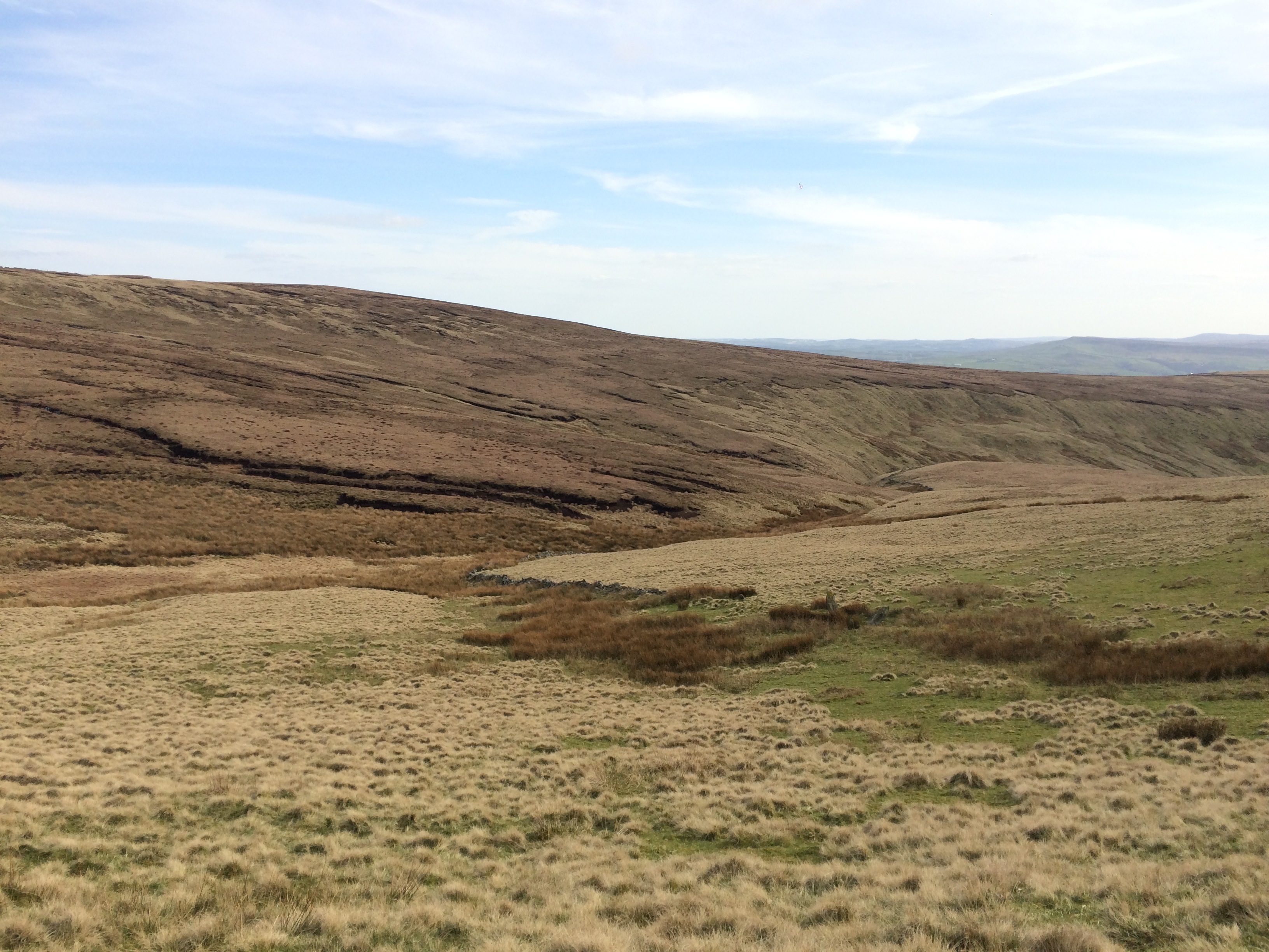
The River Sett is a river that flows through the High Peak borough of Derbyshire, in north western England. It rises near Edale Cross on Kinder Scout and flows through the villages of Hayfield and Birch Vale to join the River Goyt at New Mills. The River Goyt is one of the principal tributaries of the River Mersey. In the past, the river was known as the River Kinder; the modern River Kinder is a right tributary of the Sett, joining the river at Bowden Bridge above Hayfield. The 2.5-mile Sett Valley Trail follows the trackbed of the former railway line along the valley between Hayfield and New Mills.''Sett Valley Trail'' (leaflet produced by Derbyshire County Council Environmental Services Department) The river's Environment Agency pollution classification changed from good to moderate in 2014. Tributaries *Hidebank Brook ? (L) *Thornsett/Rowarth Brook ? (R) *Gibb Brook ? (L) *Raens Brook (L) *Birch Hall Brook ? (L) *Hollingworth Clough ? (R) **Middle Brook ? (L) *Phoside ... [...More Info...] [...Related Items...] OR: [Wikipedia] [Google] [Baidu] |
River Mersey
The River Mersey () is in North West England. Its name derives from Old English and means "boundary river", possibly referring to its having been a border between the ancient kingdoms of Mercia and Northumbria. For centuries it has formed part of the boundary between the Historic counties of England, historic counties of Lancashire and Cheshire. The Mersey starts at the confluence of the River Tame, Greater Manchester, River Tame and River Goyt in Stockport. It flows westwards through south Manchester, then into the Manchester Ship Canal at Irlam, becoming a part of the canal and maintaining its water levels. After it exits the canal, flowing towards Warrington where it widens. It then narrows as it passes between Runcorn and Widnes. From Runcorn the river widens into a large estuary, which is across at its widest point near Ellesmere Port. The course of the river then turns northwards as the estuary narrows between Liverpool and Birkenhead on the Wirral Peninsula to the west ... [...More Info...] [...Related Items...] OR: [Wikipedia] [Google] [Baidu] |
Rivers And Valleys Of The Peak District
A river is a natural flowing watercourse, usually freshwater, flowing towards an ocean, sea, lake or another river. In some cases, a river flows into the ground and becomes dry at the end of its course without reaching another body of water. Small rivers can be referred to using names such as creek, brook, rivulet, and rill. There are no official definitions for the generic term river as applied to geographic features, although in some countries or communities a stream is defined by its size. Many names for small rivers are specific to geographic location; examples are "run" in some parts of the United States, "burn" in Scotland and northeast England, and "beck" in northern England. Sometimes a river is defined as being larger than a creek, but not always: the language is vague. Rivers are part of the water cycle. Water generally collects in a river from precipitation through a drainage basin from surface runoff and other sources such as groundwater recharge, spring ... [...More Info...] [...Related Items...] OR: [Wikipedia] [Google] [Baidu] |
Rivers Of Derbyshire
A river is a natural flowing watercourse, usually freshwater, flowing towards an ocean, sea, lake or another river. In some cases, a river flows into the ground and becomes dry at the end of its course without reaching another body of water. Small rivers can be referred to using names such as creek, brook, rivulet, and rill. There are no official definitions for the generic term river as applied to geographic features, although in some countries or communities a stream is defined by its size. Many names for small rivers are specific to geographic location; examples are "run" in some parts of the United States, "burn" in Scotland and northeast England, and "beck" in northern England. Sometimes a river is defined as being larger than a creek, but not always: the language is vague. Rivers are part of the water cycle. Water generally collects in a river from precipitation through a drainage basin from surface runoff and other sources such as groundwater recharge, spring ... [...More Info...] [...Related Items...] OR: [Wikipedia] [Google] [Baidu] |
List Of Mills In Derbyshire
This is a list of the cotton and other textile mills in Derbyshire, England. The first mills were built in the 1760s in the Derwent Valley by Richard ArkwArkwright and Strutt, and were powered by the water of the River Derwent, Derbyshire, River Derwent. The abundance of water from the River Etherow and its tributaries led to mills being built in Longdendale and Glossopdale, and similarly along the River Wye, Derbyshire, River Wye in Millers Dale. As the industry developed, the mills changed hands, were demolished, were converted to use steam, or consolidated into larger units. They changed their names and their functions. Water-powered mills were smaller than the later steam-powered mills found in Greater Manchester. Parts of Derbyshire have been subsumed into Stockport. Longdendale Derwent Valley ;This includes Derby, and Belper River Wye The mills of New Mills and Rowarth ... [...More Info...] [...Related Items...] OR: [Wikipedia] [Google] [Baidu] |
Environment Agency
The Environment Agency (EA) is a non-departmental public body, established in 1996 and sponsored by the United Kingdom government's Department for Environment, Food and Rural Affairs, with responsibilities relating to the protection and enhancement of the environment in England (and until 2013 also Wales). Based in Bristol, the Environment Agency is responsible for flood management, regulating land and water pollution, and conservation. Roles and responsibilities Purpose The Environment Agency's stated purpose is, "to protect or enhance the environment, taken as a whole" so as to promote "the objective of achieving sustainable development" (taken from the Environment Act 1995, section 4). Protection of the environment relates to threats such as flood and pollution. The vision of the agency is of "a rich, healthy and diverse environment for present and future generations". Scope The Environment Agency's remit covers almost the whole of England, about 13 million h ... [...More Info...] [...Related Items...] OR: [Wikipedia] [Google] [Baidu] |
Derbyshire County Council
Derbyshire County Council is the upper-tier local authority for the non-metropolitan county of Derbyshire, England. It has 64 councillors representing 61 divisions, with three divisions having two members each. They are Glossop and Charlesworth, Alfreton and Somercotes, and Eckington and Killamarsh. The authority is controlled by the Conservative Party, who won control in the May 2017 local council election and retained control in the May 2021 elections. The Leader of the Council is Barry Lewis. He heads a cabinet consisting of eight other members – those being Simon Spencer, Carol Hart, Natalie Hoy, Tony King, Carolyn Renwick, Kewal Singh Athwal, Julie Patten and Alex Dale. The cabinet members each have responsibility for particular functions of the council and are assisted by Cabinet Support Members. History The council was first set up in 1889 under the Local Government Act 1888, covering the administrative county. It was reconstituted in 1974 under the Local Government Act ... [...More Info...] [...Related Items...] OR: [Wikipedia] [Google] [Baidu] |
Hayfield Branch
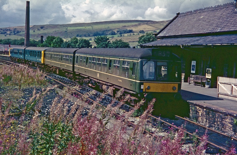
The Hayfield Branch was a single-track branch line that ran along the Sett Valley from the Hope Valley Line near to , via one intermediate stop, . It passed under the town of New Mills through the rock-cut Hayfield tunnel. History Opening The branch opened, in 1868, to serve the villages along the valley of the River Sett and the local mills. It became the joint property of the Manchester, Sheffield & Lincolnshire Railway (later Great Central) and the Midland Railway. It remained a joint station, latterly owned by the London and North Eastern Railway and the London Midland Scottish Railway, until nationalisation of the railways in 1948. Passenger numbers were high especially in the summer months, as the line provided easy access to the countryside. The branch was subsequently assigned to the London Midland Region of British Railways. Introduction of diesel multiple unit (DMU) trains led to an improvement in passenger services and, by the 1960s, there was an hourly ... [...More Info...] [...Related Items...] OR: [Wikipedia] [Google] [Baidu] |
Sett Valley Trail
The Sett Valley Trail is a Segregated cycle facilities, cycle- and Rights of way in England and Wales#Bridleways, bridleway in Derbyshire, England, linking the village of Hayfield, Derbyshire, Hayfield and the town of New Mills (via Birch Vale, Thornsett and Ollersett). It runs along the lower valley of the River Sett and follows the trackbed of Hayfield branch, a former branch railway line from to , which opened in 1868 and closed in 1970. The line was purchased from British Rail by Derbyshire County Council in 1973. The station buildings at Hayfield were demolished in 1975; an information centre, picnic area, car park and toilets have now been built on the site. The Pennine Bridleway and Peak District Boundary Walk follow the section of the trail between Hayfield and Birch Vale. References External linksGuide to Sett Valley Trail for cycling with route photos Footpaths in Derbyshire Rail trails in England High Peak, Derbyshire New Mills {{derbyshire-geo-stub ... [...More Info...] [...Related Items...] OR: [Wikipedia] [Google] [Baidu] |
New Mills
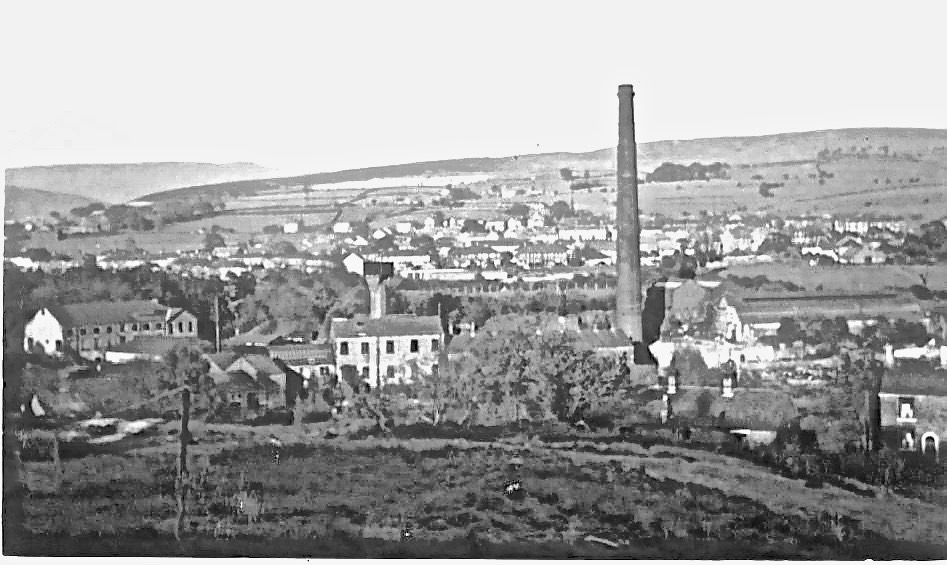
New Mills is a town in the Borough of High Peak, Derbyshire, England, south-east of Stockport and from Manchester at the confluence of the River Goyt and Sett. It is close to the border with Cheshire and above the Torrs, a deep gorge cut through carboniferous sandstone, on the north-western edge of the Peak District national park. New Mills has a population of approximately 12,000, in a civil parish which includes the villages and hamlets of Whitle, Thornsett, Hague Bar, Rowarth, Brookbottom, Gowhole and Birch Vale. New Mills was first noted for coal mining, then for cotton spinning, bleaching and Calico (textile), calico printing. It was served by the Peak Forest Canal, three railway lines and the A6 road (England), A6 trunk road. Redundant mills were bought up in the mid-twentieth century by sweet manufacturer Swizzels Matlow. New Mills was a stronghold of Methodism. History New Mills is in the area formerly known as Bowden Middlecale which was a grouping of ten hamlets. ... [...More Info...] [...Related Items...] OR: [Wikipedia] [Google] [Baidu] |
Kinder Scout
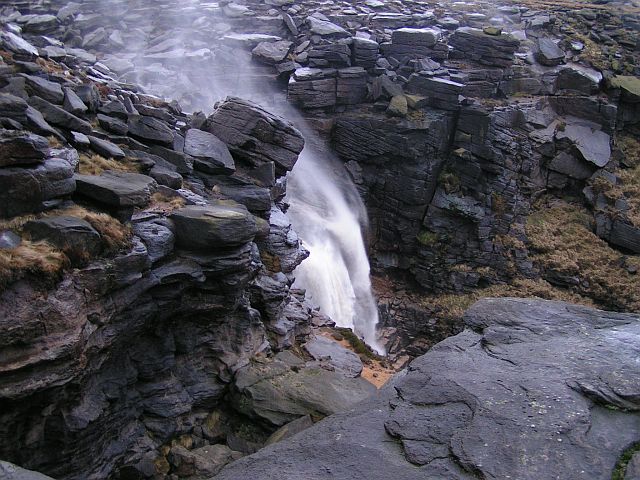
Kinder Scout is a moorland plateau and national nature reserve in the Dark Peak of the Derbyshire Peak District in England. Part of the moor, at above sea level, is the highest point in the Peak District, in Derbyshire and the East Midlands; this summit is sometimes simply called the Peak. In excellent weather conditions, the city of Manchester and the Greater Manchester conurbation can be seen from the western edges, as well as Winter Hill near Bolton and the mountains of Snowdonia in North Wales. To the north, across the Snake Pass, lie the high moors of Bleaklow and Black Hill, which are of similar elevation. Kinder Scout featured on the BBC television programme ''Seven Natural Wonders'' (2005) as one of the wonders of the Midlands; however, it is considered by many to be in Northern England, lying between the cities of Manchester and Sheffield. In chronostratigraphy, the British sub-stage of the Carboniferous period, the ''Kinderscoutian'', derives its name from Kinder ... [...More Info...] [...Related Items...] OR: [Wikipedia] [Google] [Baidu] |
Birch Vale
Birch Vale is a village in the High Peak district of Derbyshire, just outside the boundary of the Peak District National Park, between New Mills and Hayfield. Most of Birch Vale, including the attached hamlet of Thornsett, comes under the administration of New Mills Town Council, though the small part to the east of the former Grouse Inn public house is within the boundaries of Hayfield. Amenities There are no shops, but two surviving public houses: the Sycamore Inn and Printers Arms in Thornsett. Previously, there were three more pubs: the Vine Tavern has closed permanently, the Waltzing Weasel became a B&B in 2013 and the Grouse Inn closed in January 2020. There is a primary school in Thornsett. Transport Until 1970, Birch Vale had a railway station on a branch line from New Mills Central to Hayfield, with through trains to Manchester Piccadilly. Today, the trackbed of the former railway line carries the Sett Valley Trail; the nearest railheads are the stations in ... [...More Info...] [...Related Items...] OR: [Wikipedia] [Google] [Baidu] |


