|
Rio San Martino
Rio San Martino (''Rio San Martin'' in venetian) is a small town which belongs to the municipality of Scorzè in the province of Venice. History There are very few historical information about Rio San Martino, reflecting the poor relevance of the town. Probable the Roman origin, since the center of the village rises near the intersection between a cardo and a decumanus of the Roman centuriation. The place names of Gallese and Sermazza (today Capitellon) could refer to two barbaric settlements, respectively of Gauls and Sarmatian. Rio San Martino is mentioned in 1152 as a chapel dependent on the parish church of Zero. During the Republic of Venice, the villa of Rio San Martino was divided into five districts (Rio San Martin Galese, Rio San Martin di Sopra, Rio San Martin di Mezo, Rio San Martin Sarmazza, Rio San Martin Church). Monuments and places of interest Parish church In ancient times was a chapel of the parish church of Zero, from 1560 it has its own rector. T ... [...More Info...] [...Related Items...] OR: [Wikipedia] [Google] [Baidu] |
Venetian Language
Venetian, wider Venetian or Venetan ( or ) is a Romance language spoken natively in the northeast of Italy,Ethnologue mostly in the Veneto region, where most of the five million inhabitants can understand it. It is sometimes spoken and often well understood outside Veneto: in Trentino, Friuli, the Julian March, Istria, and some towns of Slovenia and Dalmatia (Croatia) by a surviving autochthonous Venetian population, and Brazil, Argentina, Australia, Canada, the United States, the United Kingdom, and Mexico by Venetians in the diaspora. Although referred to as an "Italian dialect" ( vec, diałeto, links=no, it, dialetto) even by some of its speakers, the label is primarily geographic. Venetian is a separate language from Italian, with many local varieties. Its precise place within the Romance language family remains somewhat controversial. Both Ethnologue and Glottolog group it into the Gallo-Italic branch. Devoto, Avolio and Ursini reject such classification, and Tagliavin ... [...More Info...] [...Related Items...] OR: [Wikipedia] [Google] [Baidu] |
Scorzè
Scorzè is a ''comune'' in the Metropolitan City of Venice, in the Italian region of Veneto, located about northwest of Venice. The country is bordered by Zero Branco, Trebaseleghe, Venezia, Noale and Salzano. The municipality of Scorzè contains many hamlets which are: Rio San Martino, Peseggia, Cappella, and Gardigiano. It is situated on an area inhabited since the Paleovenetian era, then colonized by the Romans. In the Middle Ages it was a feud of the bishops of Treviso, who had as vassals in the territory several families, in particular the Tempesta and the Scorzadis; then part of the Serenissima; since 1866, after the treaty of Vienna becomes a comune in the Kingdom of Italy, then Republic. It is an important agricultural, handicraft, industrial center, and is home to numerous companies, both large and small, and a hub of a certain importance from the point of view of traffic and the national electricity distribution network. Geography Territory The municipality bo ... [...More Info...] [...Related Items...] OR: [Wikipedia] [Google] [Baidu] |
Province Of Venice
The Province of Venice (''Provincia di Venezia'') was a province in the Veneto region of northern Italy. Its capital was the city of Venice. It had an area of 2,467 km2, and a total population of 846,962 (2011). The province became the Metropolitan City of Venice by 1 January 2015. Demography Statistics recorded since 1871 show that the population of the Province of Venice increased from some 341,000 inhabitants in 1871 to almost 847,000 in 2011. It rose steadily in each of the ten-year statistical periods until 1981 (reaching 838,794 inhabitants) whereafter there were declines until 2001 when the population dipped to 809,586. Finally, there was an increase of 4.6% in the ten-year period from 2001 to 2011 when the number of inhabitants reached 340,913. The average age per inhabitant was 44.8 years in 2011, up from 35.6 years in 1981. In 2012, there were 72,284 foreigners residents in the province (up from 44,996 in 2006), mainly from Romania, Moldova and Albania, represent ... [...More Info...] [...Related Items...] OR: [Wikipedia] [Google] [Baidu] |
Cardo
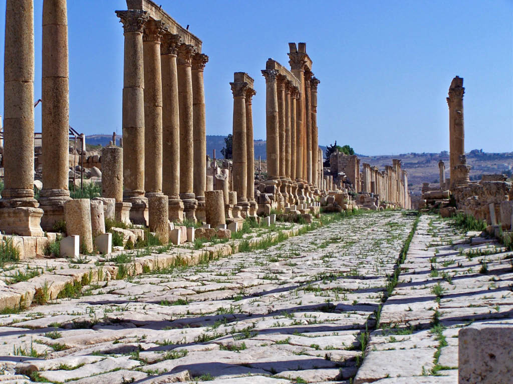
A cardo (plural ''cardines'') was a north–south street in Ancient Roman cities and military camps as an integral component of city planning. The cardo maximus, or most often the ''cardo'', was the main or central north–south-oriented street. Etymology The ''cardo maximus'' was the "hinge" or axis of the city, derived from Greek καρδίᾱ, kardia ("heart") and as such was generally lined with shops and vendors, and served as a hub of economic life. Most Roman cities also had a Decumanus Maximus, an east–west street that served as a secondary main street. Due to varying geography, in some cities the Decumanus is the main street and the Cardo is secondary, but in general the Cardo maximus served as the primary street. The Forum was normally located at, or close to, the intersection of the Decumanus and the Cardo. Examples Apamea, Syria The Cardo Maximus of Apamea, Syria ran through the centre of the city directly from North to South, linked the principal gates of t ... [...More Info...] [...Related Items...] OR: [Wikipedia] [Google] [Baidu] |
Decumanus Maximus
In Roman urban planning, a decumanus was an east–west-oriented road in a Roman city or castrum (military camp). The main decumanus of a particular city was the Decumanus Maximus, or most often simply "the Decumanus". In the rectangular street grid of the typical Roman city plan, the decumanus was crossed by the perpendicular cardo, a north–south street. In a military camp, the decumanus connected the Porta Praetoria (closest to the enemy) to the Porta Decumana (away from the enemy). In the center – called '' groma'' – of a city or castrum, the Decumanus Maximus crossed the perpendicular ''Cardo Maximus'', the primary north–south road. The Forum was normally located close to this intersection of the Decumanus Maximus and the Cardo Maximus. Etymology ''Decumanus'' or ''decimanus'' was the Latin word for 'tenth'. This name is said to come from the fact that the ''via decumana'' or ''decimana'' (the ''tenth'') separated the Tenth Cohort from the Ninth in the legionary enc ... [...More Info...] [...Related Items...] OR: [Wikipedia] [Google] [Baidu] |
Centuriation
Centuriation (in Latin ''centuriatio'' or, more usually, ''limitatio''), also known as Roman grid, was a method of land measurement used by the Romans. In many cases land divisions based on the survey formed a field system, often referred to in modern times by the same name. According to O. A. W. Dilke, centuriation combined and developed features of land surveying present in Egypt, Etruria, Greek towns and Greek countryside. Centuriation is characterised by the regular layout of a square grid traced using surveyors' instruments. It may appear in the form of roads, canals and agricultural plots. In some cases these plots, when formed, were allocated to Roman army veterans in a new colony, but they might also be returned to the indigenous inhabitants, as at Orange (France). The study of centuriation is very important for reconstructing landscape history in many former areas of the Roman empire. History The Romans began to use centuriation for the foundation, in the fourth century ... [...More Info...] [...Related Items...] OR: [Wikipedia] [Google] [Baidu] |
Gauls
The Gauls ( la, Galli; grc, Γαλάται, ''Galátai'') were a group of Celtic peoples of mainland Europe in the Iron Age and the Roman period (roughly 5th century BC to 5th century AD). Their homeland was known as Gaul (''Gallia''). They spoke Gaulish, a continental Celtic language. The Gauls emerged around the 5th century BC as bearers of La Tène culture north and west of the Alps. By the 4th century BC, they were spread over much of what is now France, Belgium, Switzerland, Southern Germany, Austria, and the Czech Republic, by virtue of controlling the trade routes along the river systems of the Rhône, Seine, Rhine, and Danube. They reached the peak of their power in the 3rd century BC. During the 4th and 3rd centuries BC, the Gauls expanded into Northern Italy ( Cisalpine Gaul), leading to the Roman–Gallic wars, and into the Balkans, leading to war with the Greeks. These latter Gauls eventually settled in Anatolia, becoming known as Galatians. After the ... [...More Info...] [...Related Items...] OR: [Wikipedia] [Google] [Baidu] |
Sarmatians
The Sarmatians (; grc, Σαρμαται, Sarmatai; Latin: ) were a large confederation of Ancient Iranian peoples, ancient Eastern Iranian languages, Eastern Iranian peoples, Iranian Eurasian nomads, equestrian nomadic peoples of classical antiquity who dominated the Pontic–Caspian steppe, Pontic steppe from about the 3rd century BC to the 4th century AD. Originating in the central parts of the Eurasian Steppe, the Sarmatians were part of the wider Scythian cultures. They started migrating westward around the fourth and third centuries BC, coming to dominate the closely related Scythians by 200 BC. At their greatest reported extent, around 100 BC, these tribes ranged from the Vistula River to the mouth of the Danube and eastward to the Volga, bordering the shores of the Black Sea, Black and Caspian Sea, Caspian seas as well as the Caucasus to the south. In the first century AD, the Sarmatians began encroaching upon the Roman Empire in alliance with Germanic peoples, Germanic ... [...More Info...] [...Related Items...] OR: [Wikipedia] [Google] [Baidu] |
Zero Branco
Zero Branco is a ''comune'' (municipality) in the Province of Treviso in the Italian region Veneto, located about northwest of Venice and about southwest of Treviso. Geography Zero Branco borders the following municipalities: Mogliano Veneto, Morgano, Piombino Dese, Preganziol, Quinto di Treviso, Scorzè, Trebaseleghe and Treviso. People *Gaetano Cozzi (1922–2001), historian * Simone Favaro (1988–*), rugby union Rugby union, commonly known simply as rugby, is a close-contact team sport that originated at Rugby School in the first half of the 19th century. One of the two codes of rugby football, it is based on running with the ball in hand. In its m ... player References External links Official website Cities and towns in Veneto {{Veneto-geo-stub ... [...More Info...] [...Related Items...] OR: [Wikipedia] [Google] [Baidu] |
Republic Of Venice
The Republic of Venice ( vec, Repùblega de Venèsia) or Venetian Republic ( vec, Repùblega Vèneta, links=no), traditionally known as La Serenissima ( en, Most Serene Republic of Venice, italics=yes; vec, Serenìsima Repùblega de Venèsia, links=no), was a sovereign state and Maritime republics, maritime republic in parts of present-day Italy (mainly Northern Italy, northeastern Italy) that existed for 1100 years from AD 697 until AD 1797. Centered on the Venetian Lagoon, lagoon communities of the prosperous city of Venice, it incorporated numerous Stato da Màr, overseas possessions in modern Croatia, Slovenia, Montenegro, Greece, Albania and Cyprus. The republic grew into a Economic history of Venice, trading power during the Middle Ages and strengthened this position during the Renaissance. Citizens spoke the still-surviving Venetian language, although publishing in (Florentine) Italian became the norm during the Renaissance. In its early years, it prospered on the salt ... [...More Info...] [...Related Items...] OR: [Wikipedia] [Google] [Baidu] |
Altarpiece
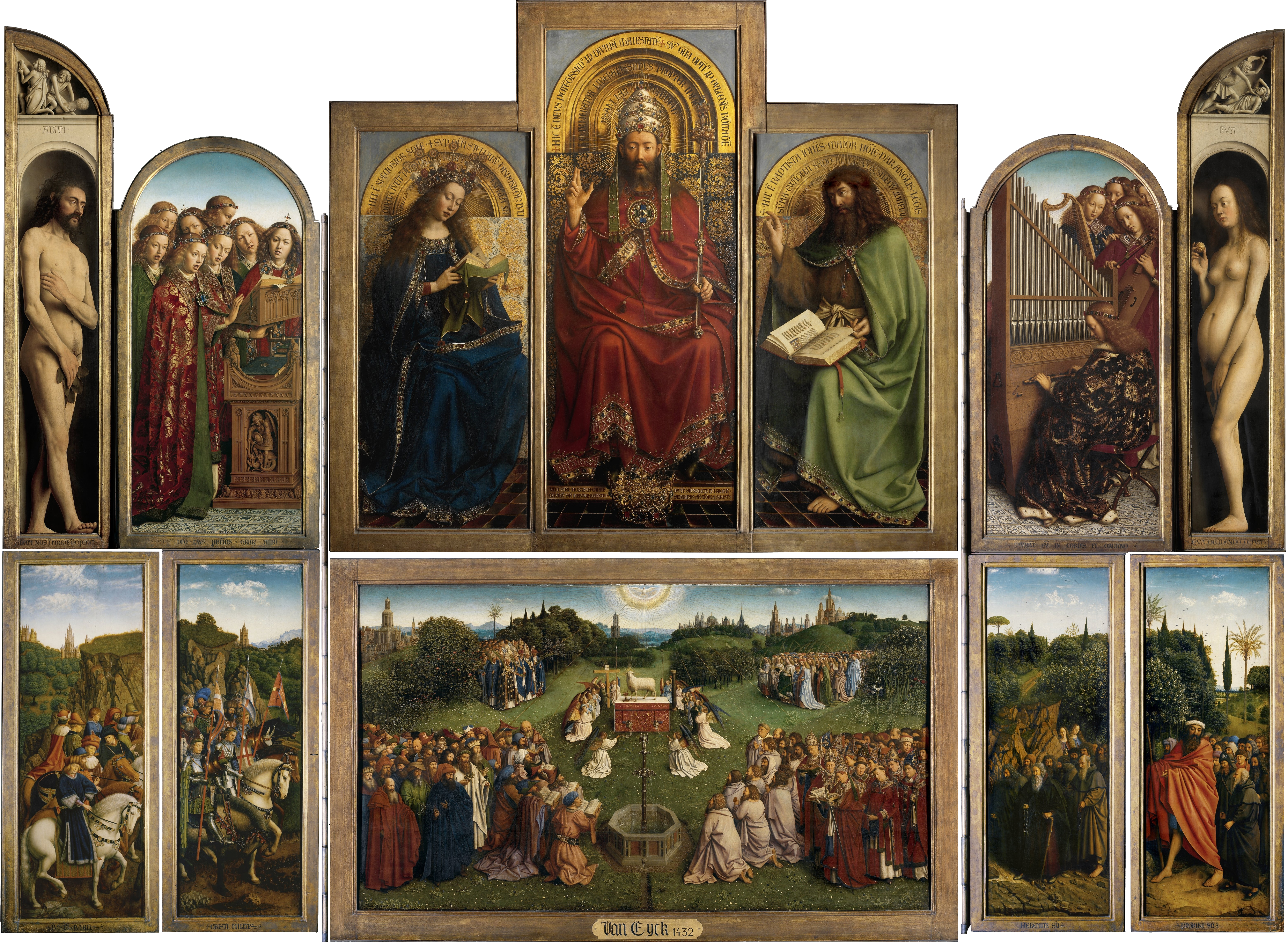
An altarpiece is an artwork such as a painting, sculpture or relief representing a religious subject made for placing at the back of or behind the altar of a Christian church. Though most commonly used for a single work of art such as a painting or sculpture, or a set of them, the word can also be used of the whole ensemble behind an altar, otherwise known as a reredos, including what is often an elaborate frame for the central image or images. Altarpieces were one of the most important products of Christian art especially from the late Middle Ages to the era of the Counter-Reformation. Many altarpieces have been removed from their church settings, and often from their elaborate sculpted frameworks, and are displayed as more simply framed paintings in museums and elsewhere. History Origins and early development Altarpieces seem to have begun to be used during the 11th century, with the possible exception of a few earlier examples. The reasons and forces that led to the developme ... [...More Info...] [...Related Items...] OR: [Wikipedia] [Google] [Baidu] |
Sante Peranda
Sante Peranda (1566–1638) was an Italian painter of the late-Renaissance period. He was a pupil of the painter Leonardo Corona and later Palma il Giovane. Also known as ''Santo Peranda''. He painted a ''Descent from the cross'' for San Procolo in Venice. He painted ''The defeat of the Saracens'' for the Ducal Palace of Modena. He painted the ''Gathering of the Manna'' for the church of the San Bartolome. In 1623 he finished ''Glorious Mysteries'' for the church of San Nicolò in Treviso Treviso ( , ; vec, Trevixo) is a city and '' comune'' in the Veneto region of northern Italy. It is the capital of the province of Treviso and the municipality has 84,669 inhabitants (as of September 2017). Some 3,000 live within the Ven .... Among his pupils were Francesco Maffei, Matteo Ponzone, and Filippo Zaniberti.Hobbes et al. p 194 References * * 1566 births 1638 deaths 16th-century Italian painters Italian male painters 17th-century Italian painters Pai ... [...More Info...] [...Related Items...] OR: [Wikipedia] [Google] [Baidu] |


