|
Ridley Bridge
Ridley Bridge is a stone arch road bridge over the River South Tyne near Ridley Hall in Northumberland. History This stone arch bridge was designed by Robert Mylne and constructed in 1792. It has been listed Grade II* by Historic England Historic England (officially the Historic Buildings and Monuments Commission for England) is an executive non-departmental public body of the British Government sponsored by the Department for Digital, Culture, Media and Sport. It is tasked w .... References Bridges in Northumberland Crossings of the River Tyne Grade II* listed bridges in England Grade II* listed buildings in Northumberland {{Northumberland-struct-stub ... [...More Info...] [...Related Items...] OR: [Wikipedia] [Google] [Baidu] |
River Tyne
The River Tyne is a river in North East England. Its length (excluding tributaries) is . It is formed by the North Tyne and the South Tyne, which converge at Warden Rock near Hexham in Northumberland at a place dubbed 'The Meeting of the Waters'. The Tyne Rivers Trust measure the whole Tyne catchment as , containing of waterways. Course North Tyne The North Tyne rises on the Scottish border, north of Kielder Water. It flows through Kielder Forest, and in and out of the border. It then passes through the village of Bellingham before reaching Hexham. South Tyne The South Tyne rises on Alston Moor, Cumbria and flows through the towns of Haltwhistle and Haydon Bridge, in a valley often called the Tyne Gap. Hadrian's Wall lies to the north of the Tyne Gap. Coincidentally, the source of the South Tyne is very close to those of the Tees and the Wear. The South Tyne Valley falls within the North Pennines Area of Outstanding Natural Beauty (AONB) – the second largest of the ... [...More Info...] [...Related Items...] OR: [Wikipedia] [Google] [Baidu] |
Northumberland
Northumberland () is a county in Northern England, one of two counties in England which border with Scotland. Notable landmarks in the county include Alnwick Castle, Bamburgh Castle, Hadrian's Wall and Hexham Abbey. It is bordered by land on three sides; by the Scottish Borders region to the north, County Durham and Tyne and Wear to the south, and Cumbria to the west. The fourth side is the North Sea, with a stretch of coastline to the east. A predominantly rural county with a landscape of moorland and farmland, a large area is part of Northumberland National Park. The area has been the site of a number of historic battles with Scotland. Name The name of Northumberland is recorded as ''norð hẏmbra land'' in the Anglo-Saxon Chronicle, meaning "the land north of the Humber". The name of the kingdom of ''Northumbria'' derives from the Old English meaning "the people or province north of the Humber", as opposed to the people south of the Humber Estuary. History ... [...More Info...] [...Related Items...] OR: [Wikipedia] [Google] [Baidu] |
Robert Mylne (architect)
Robert Mylne (4 January 1733 – 5 May 1811) was a Scottish architect and civil engineer, particularly remembered for his design for Blackfriars Bridge in London. Born and raised in Edinburgh, he travelled to Europe as a young man, studying architecture in Rome under Piranesi. In 1758, he became the first Briton to win the triennial architecture competition at the Accademia di San Luca. This made his name known in London, and won him the rivalry of fellow Scot Robert Adam. On his return to Britain, Mylne won the competition to design the new Blackfriars Bridge over the Thames in London, his design being chosen over those of established engineers, such as John Smeaton. He was appointed surveyor to the New River Company, which supplied drinking water to London, and Surveyor of the Fabric of St Paul's Cathedral, where he was responsible for maintaining the building designed by Sir Christopher Wren. Both positions he held for life. Mylne designed a number of country houses and city ... [...More Info...] [...Related Items...] OR: [Wikipedia] [Google] [Baidu] |
Arch Bridge
An arch bridge is a bridge with abutments at each end shaped as a curved arch. Arch bridges work by transferring the weight of the bridge and its loads partially into a horizontal thrust restrained by the abutments at either side. A viaduct (a long bridge) may be made from a series of arches, although other more economical structures are typically used today. History Possibly the oldest existing arch bridge is the Mycenaean Arkadiko Bridge in Greece from about 1300 BC. The stone corbel arch bridge is still used by the local populace. The well-preserved Hellenistic Eleutherna Bridge has a triangular corbel arch. The 4th century BC Rhodes Footbridge rests on an early voussoir arch. Although true arches were already known by the Etruscans and ancient Greeks, the Romans were – as with the vault and the dome – the first to fully realize the potential of arches for bridge construction. A list of Roman bridges compiled by the engineer Colin O'Connor featur ... [...More Info...] [...Related Items...] OR: [Wikipedia] [Google] [Baidu] |
Single-track Road
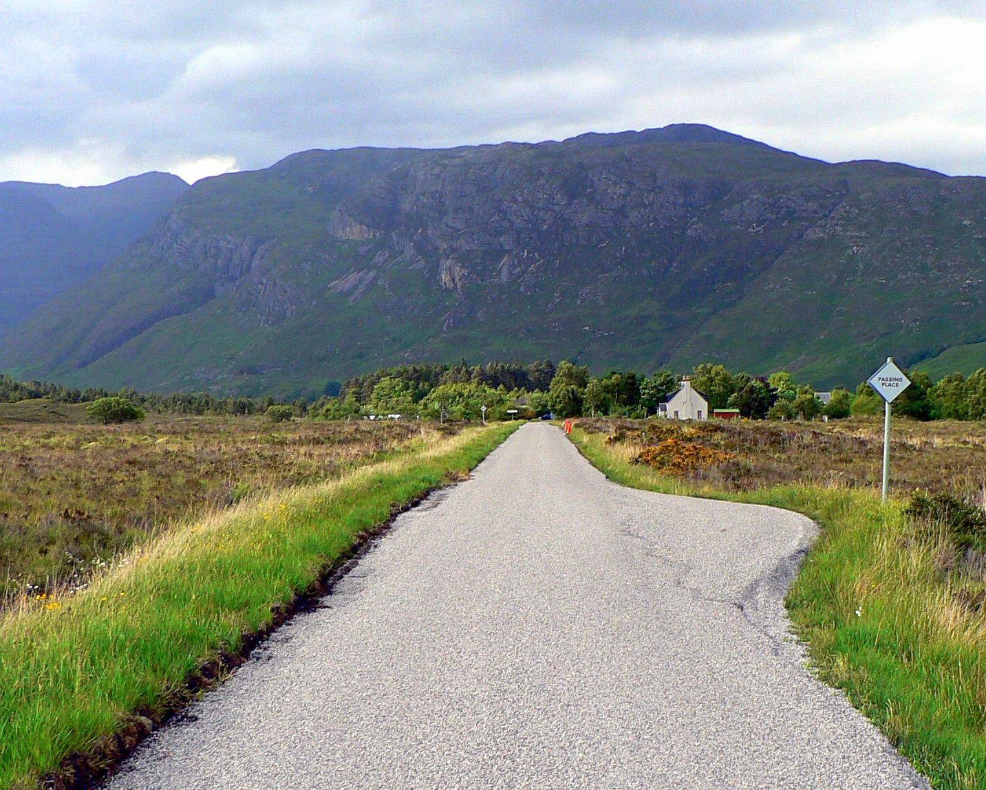
A single-track road or one-lane road is a road that permits two-way travel but is not wide enough in most places to allow vehicles to pass one another (although sometimes two compact cars can pass). This kind of road is common in rural areas across the United Kingdom and elsewhere. To accommodate two-way traffic, many single-track roads, especially those officially designated as such, are provided with passing places (United Kingdom) or pullouts or turnouts (United States), or simply wide spots in the road, which may be scarcely longer than a typical car using the road. The distance between passing places varies considerably, depending on the terrain and the volume of traffic on the road. The railway equivalent for passing places are passing loops. In Scotland The term is widely used in Scotland, particularly the Highlands, to describe such roads. Passing places are generally marked with a diamond-shaped white sign with the words "passing place" on it. New signs tend to be sq ... [...More Info...] [...Related Items...] OR: [Wikipedia] [Google] [Baidu] |
Grade II* Listed
In the United Kingdom, a listed building or listed structure is one that has been placed on one of the four statutory lists maintained by Historic England in England, Historic Environment Scotland in Scotland, in Wales, and the Northern Ireland Environment Agency in Northern Ireland. The term has also been used in the Republic of Ireland, where buildings are protected under the Planning and Development Act 2000. The statutory term in Ireland is "Record of Protected Structures, protected structure". A listed building may not be demolished, extended, or altered without special permission from the local planning authority, which typically consults the relevant central government agency, particularly for significant alterations to the more notable listed buildings. In England and Wales, a national amenity society must be notified of any work to a listed building which involves any element of demolition. Exemption from secular listed building control is provided for some buildin ... [...More Info...] [...Related Items...] OR: [Wikipedia] [Google] [Baidu] |
Ridley Hall, Northumberland
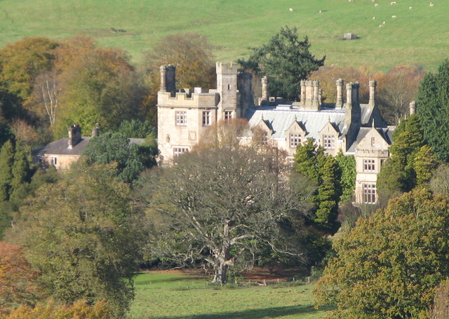
Ridley Hall is an 18th-century country house, now a residential and conference centre, at Bardon Mill, Northumberland. It is a Grade II listed building. History A 16th-century house on the site was owned by the Ridley family of Willimoteswick.''A History of Northumberland'' Pt 2 Vol 3 p 337 (1840) John Hodgson. Google Books It was acquired by the Lowes family in the late 17th century and was replaced in 1743 with a new Georgian mansion. The death in 1795 of John Lowes (High Sheriff of Northumberland in 1790) was followed by that of his son William Cornforth Lowes in 1810 and of his brother in 1812, and in 1818 the house was sold to Thomas Bates of Halton Castle, Northumberland. History of Ridley Hall In 1830 John Davidson (High Sheriff in 1839), a cousin and beneficiary of the will of Will ... [...More Info...] [...Related Items...] OR: [Wikipedia] [Google] [Baidu] |
Historic England
Historic England (officially the Historic Buildings and Monuments Commission for England) is an executive non-departmental public body of the British Government sponsored by the Department for Digital, Culture, Media and Sport. It is tasked with protecting the historic environment of England by preserving and listing historic buildings, scheduling ancient monuments, registering historic Parks and Gardens and by advising central and local government. The body was officially created by the National Heritage Act 1983, and operated from April 1984 to April 2015 under the name of English Heritage. In 2015, following the changes to English Heritage's structure that moved the protection of the National Heritage Collection into the voluntary sector in the English Heritage Trust, the body that remained was rebranded as Historic England. The body also inherited the Historic England Archive from the old English Heritage, and projects linked to the archive such as Britain from Above, w ... [...More Info...] [...Related Items...] OR: [Wikipedia] [Google] [Baidu] |
Ridley Railway Bridge
Ridley Railway Bridge is a railway bridge carrying the Tyne Valley line between and across the River South Tyne near Ridley Hall in Northumberland Northumberland () is a county in Northern England, one of two counties in England which border with Scotland. Notable landmarks in the county include Alnwick Castle, Bamburgh Castle, Hadrian's Wall and Hexham Abbey. It is bordered by land on .... History The first bridge near Ridley Hall for the railway between Newcastle upon Tyne and Carlisle was designed by John Blackmore and originally built of timber; it was completed in 1838 but as the condition of the wood deteriorated it was replaced by the current iron-girder structure constructed by Sir William Arrol & Co. in 1907. References Railway bridges in Northumberland Crossings of the River Tyne {{Northumberland-struct-stub ... [...More Info...] [...Related Items...] OR: [Wikipedia] [Google] [Baidu] |
Lipwood Railway Bridge
Lipwood Railway Bridge is a railway bridge carrying the Tyne Valley line between and across the River South Tyne near Lipwood in Northumberland. History The first bridge at Lipwood for the railway between Newcastle upon Tyne and Carlisle was designed by John Blackmore and originally built of timber; it was completed in 1838 but as the condition of the wood deteriorated it was replaced by the current iron-girder structure in 1866. References {{River item box , River = River South Tyne The River Tyne is a river in North East England. Its length (excluding tributaries) is . It is formed by the North Tyne and the South Tyne, which converge at Warden Rock near Hexham in Northumberland at a place dubbed 'The Meeting of the Wat ... , upstream = Ridley Railway Bridge , upsub = Tyne Valley line , downstream = Warden Railway Bridge , downsub = Tyne Valley line , type = railway bridge , table = end , location = NY813640 Railway bridges in Nort ... [...More Info...] [...Related Items...] OR: [Wikipedia] [Google] [Baidu] |
Haltwhistle A69 Bridge, East
Haltwhistle A69 Bridge, East is a concrete bridge across the River South Tyne at Haltwhistle in Northumberland, England. History The bridge is a concrete beam bridge, which forms part of the Haltwhistle bypass and was completed in 1994. The creation of the bypass allowed the road through Haltwhistle to be de-trunked shortly thereafter. References {{River item box , River = River South Tyne The River Tyne is a river in North East England. Its length (excluding tributaries) is . It is formed by the North Tyne and the South Tyne, which converge at Warden Rock near Hexham in Northumberland at a place dubbed 'The Meeting of the Wat ... , upstream = Haltwhistle A69 Bridge, West , upsub = {{UK road, A69 , downstream = Ridley Bridge , downsub = , type = road bridge , table = end , location = NY711635 Bridges in Northumberland Crossings of the River Tyne Haltwhistle ... [...More Info...] [...Related Items...] OR: [Wikipedia] [Google] [Baidu] |


