|
Rhine–Main–Danube Canal
The Rhine–Main–Danube Canal (German: ''Rhein-Main-Donau-Kanal''; also called Main-Danube Canal, RMD Canal or Europa Canal), is a canal in Bavaria, Germany. Connecting the Main and the Danube rivers across the European Watershed, it runs from Bamberg via Nuremberg to Kelheim. The canal connects the North Sea and Atlantic Ocean to the Black Sea, providing a navigable artery between the Rhine delta (at Rotterdam in the Netherlands), and the Danube Delta in south-eastern Romania and south-western Ukraine (or Constanța, through the Danube–Black Sea Canal). The present canal was completed in 1992 and is long. Early history Projects for connecting the Danube and Rhine basins by canal have a long history. In 793, the Emperor Charlemagne ordered the construction of a canal—the ''Fossa Carolina'' (German: ''Karlsgraben'')—connecting the Swabian Rezat, a tributary of the Rednitz, to the Altmühl near Treuchtlingen. Between 183 ... [...More Info...] [...Related Items...] OR: [Wikipedia] [Google] [Baidu] |
Main (river)
The Main () is the longest tributary of the Rhine. It rises as the White Main in the Fichtel Mountains of northeastern Bavaria and flows west through central Germany for to meet the Rhine below Rüsselsheim, Hesse. The cities of Mainz and Wiesbaden are close to the confluence. The largest cities on the Main are Frankfurt am Main, Offenbach am Main and Würzburg. It is the longest river lying entirely in Germany (if the Weser-Werra are considered separate). Geography The Main flows through the north and north-west of the state of Bavaria then across southern Hesse; against the latter it demarcates a third state, Baden-Württemberg, east and west of Wertheim am Main, the northernmost town of that state. The upper end of its basin opposes that of the Danube where the watershed is recognised by natural biologists, sea salinity studies (and hydrology science more broadly) as the European Watershed. The Main begins near Kulmbach in Franconia at the joining of its two headst ... [...More Info...] [...Related Items...] OR: [Wikipedia] [Google] [Baidu] |
Danube Delta
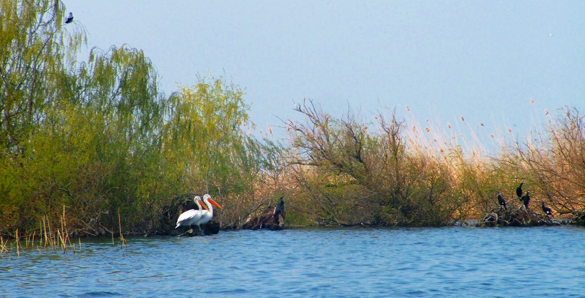
The Danube Delta ( ro, Delta Dunării, ; uk, Дельта Дунаю, Deľta Dunaju, ) is the second largest river delta in Europe, after the Volga Delta, and is the best preserved on the continent. The greater part of the Danube Delta lies in Romania (Tulcea County), with a small part in Ukraine (Odessa Oblast). Its approximate surface area is , of which is in Romania. With the lagoons of Razim–Sinoe ( with water surface), located south of the main delta, the total area of the Danube Delta is . The Razim–Sinoe lagoon complex is geologically and ecologically related to the delta proper; the combined territory is listed as a World Heritage Site. Geography and geology The modern Danube Delta began to form after 4000 BCE in a bay of the Black Sea when the sea rose to its present level. A sandy barrier blocked the Danube bay where the river initially built its delta. Upon filling the bay with sediment, the delta advanced outside this barrier-blocked estuary after 3500 BCE, b ... [...More Info...] [...Related Items...] OR: [Wikipedia] [Google] [Baidu] |
Ludwig I Of Bavaria
en, Louis Charles Augustus , image = Joseph Karl Stieler - King Ludwig I in his Coronation Robes - WGA21796.jpg , caption = Portrait by Joseph Stieler, 1825 , succession=King of Bavaria , reign = , coronation = , predecessor = Maximilian I Joseph , successor = Maximilian II , birth_name = , birth_date = , birth_place =Strasbourg, Kingdom of France , death_date = , death_place =Nice, Second French Empire , spouse =Therese of Saxe-Hildburghausen , issue =Maximilian II of Bavaria Mathilde Caroline, Grand Duchess of Hesse and by RhineOtto of GreecePrincess TheodelindeLuitpold, Prince Regent of Bavaria Adelgunde, Duchess of Modena Archduchess Hildegard of Austria Princess Alexandra Prince Adalbert , house =Wittelsbach , father =Maximilian I Joseph of Bavaria , mother =Princess Augusta Wilhelmine of Hesse-Darmstadt , religion =Roman Catholicism , burial_place ... [...More Info...] [...Related Items...] OR: [Wikipedia] [Google] [Baidu] |
Ludwig Canal
The Ludwig Canal (German: Ludwig-Donau-Main-Kanal or Ludwigskanal), is an abandoned canal in southern Germany. The canal linked the Danube River at Kelheim with the Main River at Bamberg, connecting the Danube basin with the Rhine basin. The first realisation of a dream to enable barges to navigate from the North Sea to the Black sea, the Ludwig Canal proved to be unsustainable, and was eventually succeeded by a larger canal, over a century later. Named after King Ludwig I of Bavaria, the canal was built between 1836 and 1846. Whereas the Main and the Danube were both broad canalised rivers, the Ludwig Canal was a narrow channel, with numerous locks, and a shortage of water supply to the summit level. The canal became a bottleneck, and the operation of the waterway soon became uneconomic. A further nail in the canal's coffin was competition from the rapidly developing railway network in the southern German countryside. Rather than repair the damage suffered during World War II ... [...More Info...] [...Related Items...] OR: [Wikipedia] [Google] [Baidu] |
Treuchtlingen
Treuchtlingen is a town in the Weißenburg-Gunzenhausen district, in Bavaria, Germany. It has a population of around 12,000. History The spot where the town is situated was first settled by Celts, Romans and Franks. The town proper was founded in 793, during the reign of Charlemagne, and it was first mentioned in 899, as ''Drutelinga''. In the 12th century the castle was erected. In 1495 Treuchtlingen was burnt down. In 1869 the train station was opened. On 23 February 1945 at 11:00 clock an air raid on the station Treuchtlingen (Operation Clarion) took place, in which the Fronturlauberzug SF 2046 just stopped. The passengers of the train fled into the platform underpass, which received a direct hit.300 people died in the platform underpass, a total of nearly 600 people were killed and another 900 injured in the station and the surrounding area. Most of the bomb victims are buried in the memorial site of Kriegsgräberfürsorge on the Nagelberg. In the underpass, which tunneled the ... [...More Info...] [...Related Items...] OR: [Wikipedia] [Google] [Baidu] |
Altmühl
The Altmühl (, la, Alchmona, Alcmana, Almonus) s.v. is a river in , . It is a left tributary of the river and is approximately long. Course  The source of the Altmühl is close to the town of
|
Rednitz
The Rednitz is a long river in Franconia, Germany, tributary of the Regnitz (more precisely: its southern, left headstream). The Rednitz is formed by the confluence of the rivers Franconian Rezat and Swabian Rezat, in Georgensgmünd ( district of Roth). The Rednitz flows north through Roth bei Nürnberg, Schwabach and the southwestern quarters of Nuremberg. The Rednitz joins the Pegnitz to form the Regnitz in Fürth. Sources Franz X. Bogner: ''Rednitz und Regnitz. Eine Luftbildreise von Weißenburg bis Bamberg''. Luftbildband. Verlag Fränkischer Tag, Bamberg 2007 See also *List of rivers of Bavaria A list of rivers of Bavaria, Germany: A * Aalbach *Abens * Ach * Afferbach * Affinger Bach * Ailsbach *Aisch * Aiterach *Alpbach *Alster * Altmühl *Alz * Amper * Anlauter * Arbach * Arbachgraben *Aschaff * Aschbach * Attel * Aubach, tributary of ... References Rivers of Bavaria Rivers of Germany {{Bavaria-river-stub ... [...More Info...] [...Related Items...] OR: [Wikipedia] [Google] [Baidu] |
Tributary
A tributary, or affluent, is a stream or river that flows into a larger stream or main stem (or parent) river or a lake. A tributary does not flow directly into a sea or ocean. Tributaries and the main stem river drain the surrounding drainage basin of its surface water and groundwater, leading the water out into an ocean. The Irtysh is a chief tributary of the Ob river and is also the longest tributary river in the world with a length of . The Madeira River is the largest tributary river by volume in the world with an average discharge of . A confluence, where two or more bodies of water meet, usually refers to the joining of tributaries. The opposite to a tributary is a distributary, a river or stream that branches off from and flows away from the main stream. PhysicalGeography.net, Michael Pidwirny & S ... [...More Info...] [...Related Items...] OR: [Wikipedia] [Google] [Baidu] |
Swabian Rezat
The Swabian Rezat (german: Schwäbische Rezat) is a 33.3-kilometre-long river in southern Germany (Bavaria). It is the southern, right source river of the Rednitz. It rises in the Franconian Jura hills, near Weißenburg in Bayern. It flows generally north through the towns Weißenburg in Bayern, Ellingen and Pleinfeld. Together with the Franconian Rezat, it forms the Rednitz in Georgensgmünd. In its upper course the Rezat is close to the continental water shed between Rhine and Danube. In the 8th century Charlemagne tried to build a canal between Rezat and Altmühl which were only 3 km away from each other. It's not clear if it was finished and used for a short period or not. Its remains can be seen as "Fossa Carolina" or "Karlsgraben" near Treuchtlingen. Tributaries The following rivers are tributaries to the river Swabian Rezat (from source to mouth): *Left: Weimersheimer Bach, Mittelbühlgraben, Walkershöfer Weihergraben, Vorderer Troppelgraben, Hinterer Troppelgrab ... [...More Info...] [...Related Items...] OR: [Wikipedia] [Google] [Baidu] |
Fossa Carolina
The Fossa Carolina (or Karlsgraben in German) was a canal named after Charlemagne in what is today the German state of Bavaria, intended to connect the Swabian Rezat river to the Altmühl river (the Rhine basin to the Danube basin). It was created during the early Middle Ages, long before the Ludwig Canal and the Rhine-Main-Danube Canal. If it was indeed operational, this canal would have been the first to link the Rhine basin to the Danube basin, across the European Watershed. However, contemporary sources are contradictory as to whether it was ever finished or not. Geography Near Treuchtlingen and Weißenburg in Bayern the European Watershed between the rivers of the Rhine basin and those of the Danube basin is very narrow. Only around 2 km of fairly level terrain lie between the Swabian Rezat and the Altmühl. History Carolingian sources report that Frankish king Charlemagne gave orders to dig a 2 kilometers long canal from Treuchtlingen to Weißenburg in Bayern in 7 ... [...More Info...] [...Related Items...] OR: [Wikipedia] [Google] [Baidu] |
Charlemagne
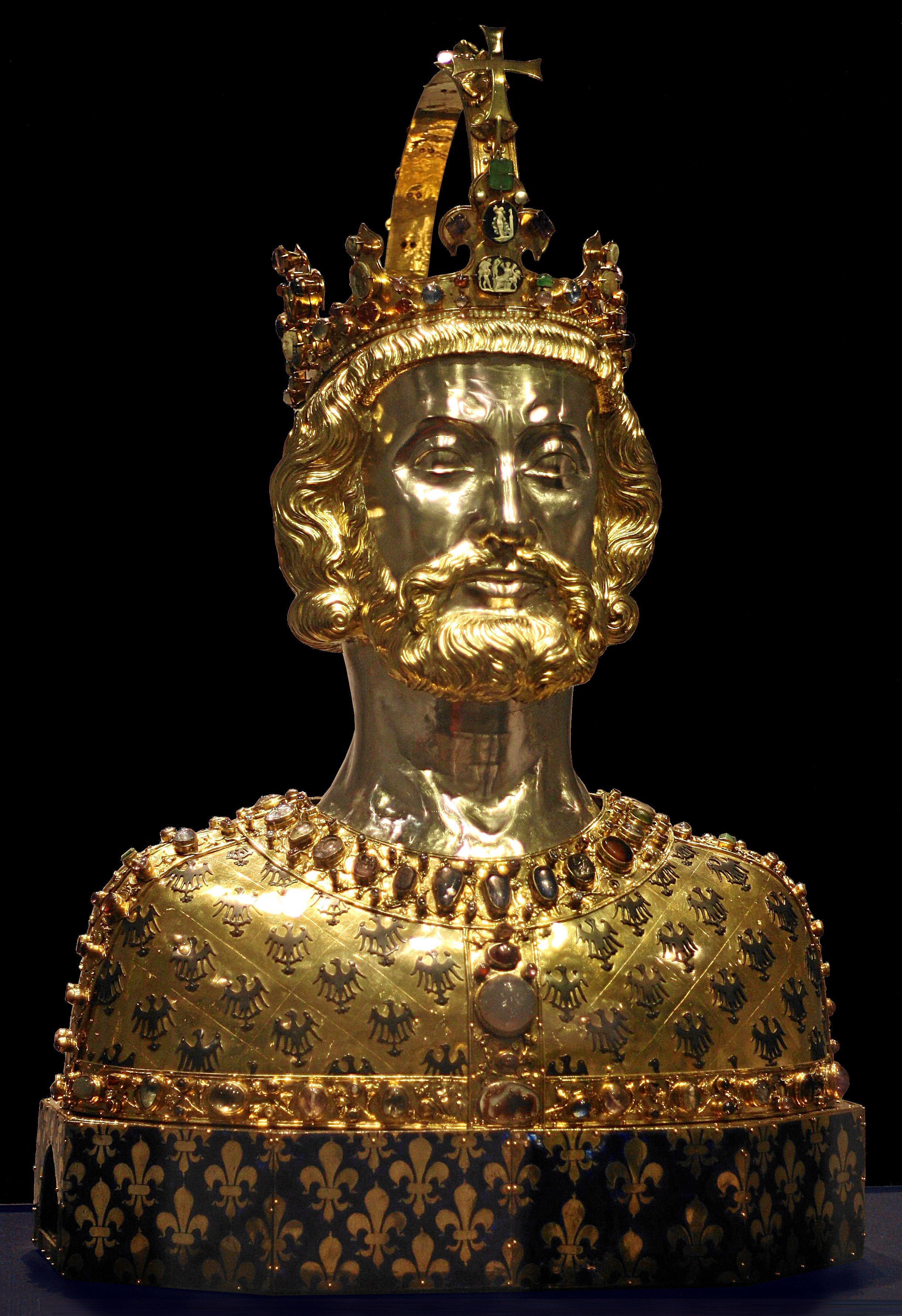
Charlemagne ( , ) or Charles the Great ( la, Carolus Magnus; german: Karl der Große; 2 April 747 – 28 January 814), a member of the Carolingian dynasty, was King of the Franks from 768, King of the Lombards from 774, and the first Holy Roman Emperor, Emperor of the Romans from 800. Charlemagne succeeded in uniting the majority of Western Europe, western and central Europe and was the first recognized emperor to rule from western Europe after the fall of the Western Roman Empire around three centuries earlier. The expanded Frankish state that Charlemagne founded was the Carolingian Empire. He was Canonization, canonized by Antipope Paschal III—an act later treated as invalid—and he is now regarded by some as Beatification, beatified (which is a step on the path to sainthood) in the Catholic Church. Charlemagne was the eldest son of Pepin the Short and Bertrada of Laon. He was born before their Marriage in the Catholic Church, canonical marriage. He became king of the ... [...More Info...] [...Related Items...] OR: [Wikipedia] [Google] [Baidu] |
Danube–Black Sea Canal
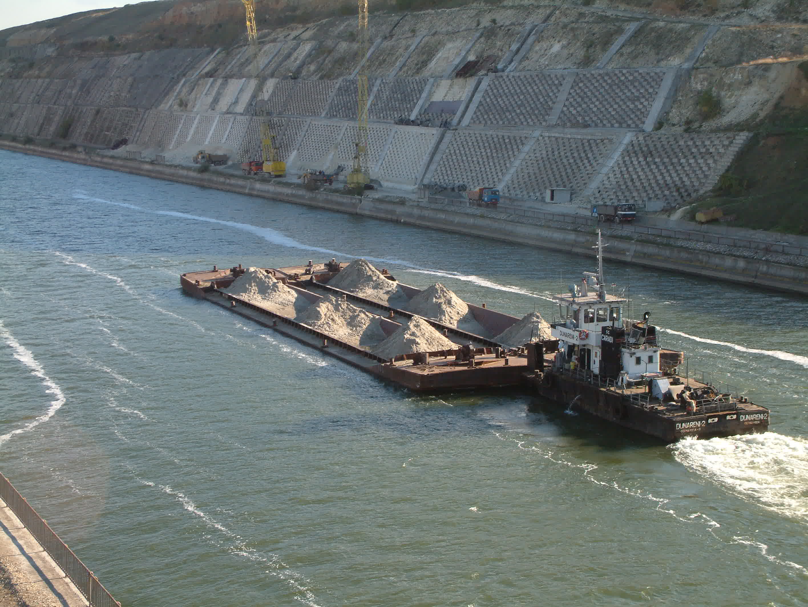
The Danube–Black Sea Canal ( ro, Canalul Dunăre–Marea Neagră) is a navigable canal in Romania, which runs from Cernavodă on the Danube river, via two branches, to Constanța and Năvodari on the Black Sea. Administered from Agigea, it is an important part of the waterway link between the North Sea and the Black Sea via the Rhine–Main–Danube Canal. The main branch of the canal, with a length of , which connects the Port of Cernavodă with the Port of Constanța, was built in 1976–1984, while the northern branch, known as the Poarta Albă–Midia Năvodari Canal, with a length of , connecting Poarta Albă and the Port of Midia, was built between 1983 and 1987. Although the idea of building a navigable canal between the Danube and the Black Sea is old, the first concrete attempt was made between 1949 and 1953, when the communist authorities of the time used this opportunity to eliminate political opponents, so the canal became notorious as the site of labor cam ... [...More Info...] [...Related Items...] OR: [Wikipedia] [Google] [Baidu] |


