|
Regional Road 174
Ottawa Road 174, formerly Ottawa-Carleton Regional Road 174 and commonly referred to as Highway 174, is a city-maintained road in the City of Ottawa which serves the eastern suburbs of Orléans and Cumberland. The four-lane freeway segment between Highway 417/Aviation Parkway junction to Trim Road (Ottawa Road57) is also known as the Queensway, in addition the ''Queensway'' name continues to be applied to Highway417 west of that intersection. Although the road continues through the towns of Rockland and Hawkesbury to the Quebec border, the portion east of the Ottawa city boundary is known as Prescott and Russell County Road17. Originally the alignment of Highway 17, which was the route of the Trans-Canada Highway between Ottawa and the Quebec border, Regional Road174 (as it was then designated) was created on April1, 1997 when the provincial government of Mike Harris transferred responsibility for portions of the road to the Regional Municipality of Ottawa–Carleton and m ... [...More Info...] [...Related Items...] OR: [Wikipedia] [Google] [Baidu] |
Ottawa
Ottawa (, ; Canadian French: ) is the capital city of Canada. It is located at the confluence of the Ottawa River and the Rideau River in the southern portion of the province of Ontario. Ottawa borders Gatineau, Quebec, and forms the core of the Ottawa–Gatineau census metropolitan area (CMA) and the National Capital Region (NCR). Ottawa had a city population of 1,017,449 and a metropolitan population of 1,488,307, making it the fourth-largest city and fourth-largest metropolitan area in Canada. Ottawa is the political centre of Canada and headquarters to the federal government. The city houses numerous foreign embassies, key buildings, organizations, and institutions of Canada's government, including the Parliament of Canada, the Supreme Court, the residence of Canada's viceroy, and Office of the Prime Minister. Founded in 1826 as Bytown, and incorporated as Ottawa in 1855, its original boundaries were expanded through numerous annexations and were ultimately ... [...More Info...] [...Related Items...] OR: [Wikipedia] [Google] [Baidu] |
Hawkesbury, Ontario
Hawkesbury is a Franco-Ontarian city in United Counties of Prescott and Russell, Prescott-Russell county in Eastern Ontario, Eastern Ontario, Canada. The vast majority of its 10,550 inhabitants are Francophone Canadians, francophone. The Long-Sault Bridge links it to Grenville-sur-la-Rouge, Quebec, Grenville, Quebec to the north. This bridge, crossing Chenail Island, is the only interprovincial bridge between Ontario and Quebec east of Ottawa. Hawkesbury is about halfway between Ottawa and Montréal. History Founded in 1798, Hawkesbury was named after Charles Jenkinson, 1st Earl of Liverpool, Charles Jenkinson, Baron Hawkesbury. Thomas Mears and David Pattee, two Americans, entered into a partnership in 1805, in order to harness the power of the lower Ottawa River and built the first sawmill on the Upper Canada side of the river. The town of Hawkesbury developed around this mill. Mears also built the Union, the Ottawa River's first steamer. Demand for timber during the Napoleon ... [...More Info...] [...Related Items...] OR: [Wikipedia] [Google] [Baidu] |
List Of Numbered Roads In The United Counties Of Prescott And Russell
This page lists all of the numbered county roads in United Counties of Prescott and Russell, Ontario Ontario ( ; ) is one of the thirteen provinces and territories of Canada.Ontario is located in the geographic eastern half of Canada, but it has historically and politically been considered to be part of Central Canada. Located in Central Ca .... {{Ontario numbered highways Prescott ... [...More Info...] [...Related Items...] OR: [Wikipedia] [Google] [Baidu] |
United Counties Of Prescott And Russell
The United Counties of Prescott and Russell (french: Comtés unis de Prescott et Russell) are consolidated counties located in the Canadian province of Ontario. Its county seat is L'Orignal. It was created as a result of a merger between Russell County and Prescott County in 1820. It is located in Eastern Ontario, in the wedge-shaped area between the Ottawa River and St. Lawrence River, approximately 55 km (35 miles) east of the City of Ottawa. Geography and nature According to Statistics Canada, the county has a total area of . The United Counties are bordered by the Ontario/Quebec border to the east, and the Ottawa River to the north. It is crossed by the South Nation River that connects the Larose Forest and Alfred Bog. Ontario Ministry of Natural Resources has designated the Alfred Bog "a provincially significant wetland and an Area of Natural and Scientific Interest." Species of interest include the palm warbler, northern pitcher-plant, pink lady's-slipper, cottong ... [...More Info...] [...Related Items...] OR: [Wikipedia] [Google] [Baidu] |
Place D'Orléans
Place d'Orléans (; French: ) is a shopping mall in Orléans suburb of Ottawa, Ontario, Canada. The property is about and has approximately 132 stores and services. Place d'Orléans was originally constructed in 1979 and underwent major expansions in 1984, 1988, and 1990 to arrive at its current size and configuration. It was one of the last enclosed malls built in Ottawa. Like many of its counterparts in North America, Place d'Orléans has been struggling to survive in the era of the big-box "power centres". The Hudson's Bay at Place d'Orléans expanded in 1999, opening a large "home store". This resulted in Hudson's Bay taking over a large section of the north side's upper level further reducing the number of smaller stores. At the same time Hudson's Bay relocated into the former Eaton's location. The mall's food court underwent a renovation under which it was moved to the ground floor of the mall where it was opened on November 1, 2019. Place d'Orléans's architecture later i ... [...More Info...] [...Related Items...] OR: [Wikipedia] [Google] [Baidu] |
Blair Road (Ottawa)
Blair Road (Ottawa Road #27) is a road in the eastern part of Ottawa, Ontario, Canada. It begins just south of the Rockcliffe Parkway, but does not connect to the parkway, except for a small bike-path connection to the Ottawa River Pathway - one of the city's main bike trails that runs along the Ottawa River. Starting out quite minor, the northernmost part of the road is a two-lane collector road (north of Montreal Road) or minor arterial road (south of Montreal Road), running past residential areas and to the east of the massive National Research Council and Canadian Security Intelligence Service campuses. The speed limit on this section is and has several steep hills. This section was known as Skead Road before being joined to the southern section in the early 1970s. It becomes much larger on the south side of Ogilvie Road and Regional Road 174, where it becomes one of the major north-south routes in eastern Ottawa. It is also home to Blair station, the main transit terminal f ... [...More Info...] [...Related Items...] OR: [Wikipedia] [Google] [Baidu] |
OC Transpo
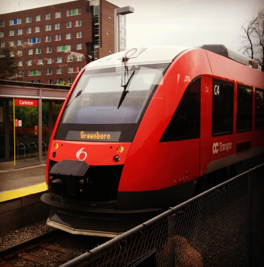
OC Transpo, officially the Ottawa-Carleton Regional Transit Commission, is the public transit agency for the city of Ottawa, Ontario, Canada. It operates an integrated hub-and-spoke system including light metro, bus rapid transit, conventional bus routes, and Para Transpo door-to-door accessible bus service. In , the system had a ridership of . OC Transpo's O-Train is a multimodal light metro system consisting of two lines: the east–west Confederation Line (Line 1), a metro system operating medium capacity electric trains along a partially underground route that cuts through the downtown; and the north–south diesel-powered Trillium Line (Line 2), originally an system from 2001 to 2020, which will be expanded to upon the scheduled reopening in 2023. The Airport Link (Line 4), a system sharing track with the Trillium Line but operating as a distinct segment, is also scheduled to open in 2023. The agency's bus system has 170 routes and 43 bus rapid transit (BRT) station ... [...More Info...] [...Related Items...] OR: [Wikipedia] [Google] [Baidu] |
Controlled-access Highway
A controlled-access highway is a type of highway that has been designed for high-speed vehicular traffic, with all traffic flow—ingress and egress—regulated. Common English terms are freeway, motorway and expressway. Other similar terms include ''throughway'' and '' parkway''. Some of these may be limited-access highways, although this term can also refer to a class of highways with somewhat less isolation from other traffic. In countries following the Vienna convention, the motorway qualification implies that walking and parking are forbidden. A fully controlled-access highway provides an unhindered flow of traffic, with no traffic signals, intersections or property access. They are free of any at-grade crossings with other roads, railways, or pedestrian paths, which are instead carried by overpasses and underpasses. Entrances and exits to the highway are provided at interchanges by slip roads (ramps), which allow for speed changes between the highway and arterials ... [...More Info...] [...Related Items...] OR: [Wikipedia] [Google] [Baidu] |
Interchange (road)
In the field of road transport, an interchange (American English) or a grade-separated junction (British English) is a road junction that uses grade separations to allow for the movement of traffic between two or more roadways or highways, using a system of interconnecting roadways to permit traffic on at least one of the routes to pass through the junction without interruption from crossing traffic streams. It differs from a standard intersection, where roads cross at grade. Interchanges are almost always used when at least one road is a controlled-access highway (freeway or motorway) or a limited-access divided highway (expressway), though they are sometimes used at junctions between surface streets. Terminology ''Note:'' The descriptions of interchanges apply to countries where vehicles drive on the right side of the road. For left-side driving, the layout of junctions is mirrored. Both North American (NA) and British (UK) terminology is included. ; Freeway juncti ... [...More Info...] [...Related Items...] OR: [Wikipedia] [Google] [Baidu] |
Arterial Road
An arterial road or arterial thoroughfare is a high-capacity urban road that sits below freeways/motorways on the road hierarchy in terms of traffic flow and speed. The primary function of an arterial road is to deliver traffic from collector roads to freeways or expressways, and between urban centres at the highest level of service possible. As such, many arteries are limited-access roads, or feature restrictions on private access. Because of their relatively high accessibility, many major roads face large amounts of land use and urban development, making them significant urban places. In traffic engineering hierarchy, an arterial road delivers traffic between collector roads and freeways. For new arterial roads, intersections are often reduced to increase traffic flow. In California, arterial roads are usually spaced every half mile, and have intersecting collector(s) and streets. Some arterial roads, characterized by a small fraction of intersections and driveways compared to ... [...More Info...] [...Related Items...] OR: [Wikipedia] [Google] [Baidu] |
Regional Municipality Of Ottawa–Carleton
The Regional Municipality of Ottawa–Carleton was a Regional Municipality and Census Division in Ontario, Canada, that existed between January 1, 1969, and January 1, 2001, and was primarily centred on the City of Ottawa. It was created in 1969 by restructuring Carleton County and annexing Cumberland Township from the United Counties of Prescott and Russell into the newly created Region of Ottawa–Carleton. It was the second Regional Municipality to be created in Ontario after the Municipality of Metropolitan Toronto. It served as an upper-tier level of municipal government, aggregating municipal services on a region-wide basis like the Counties and Regional Municipalities of Southern Ontario, and was the only upper-tier municipal government ever created in Eastern Ontario. The Regional Municipality was dissolved upon the creation of the amalgamated City of Ottawa on January 1, 2001. Constituent Municipalities The Regional Municipality originally consisted of the Cities of Ot ... [...More Info...] [...Related Items...] OR: [Wikipedia] [Google] [Baidu] |


