|
Redenção Da Serra
Redenção da Serra (Portuguese for Redemption of the mountains) is a municipality ''(município)'' in the eastern part of the state of São Paulo in Brazil. It is part of the Metropolitan Region of Vale do Paraíba e Litoral Norte. The population is 3,839 (2020 est.) in an area of 309.44 km2. The elevation is 730 m. The municipality contains part of the Mananciais do Rio Paraíba do Sul Environmental Protection Area, created in 1982 to protect the sources of the Paraíba do Sul river. History The modern history of Redenção da Serra goes back to the start of the nineteenth century. As the gold mines of Minas Gerais became depleted the focus of the Brazilian economy shifted towards the Paraíba Valley and the production of coffee. The growth of the coffee monoculture drove rapid economic growth, leading to expansion and prosperity for a number of urban centers such as Taubaté, Pindamonhangaba Pindamonhangaba is a municipality in the state of São Paulo, Brazil, located in ... [...More Info...] [...Related Items...] OR: [Wikipedia] [Google] [Baidu] |
Municipalities Of Brazil
The municipalities of Brazil ( pt, municípios do Brasil) are administrative divisions of the states of Brazil, Brazilian states. Brazil currently has 5,570 municipalities, which, given the 2019 population estimate of 210,147,125, makes an average municipality population of 37,728 inhabitants. The average state in Brazil has 214 municipalities. Roraima is the least subdivided state, with 15 municipalities, while Minas Gerais is the most subdivided state, with 853. The Federal District (Brazil), Federal District cannot be divided into Municipality, municipalities, which is why its territory is composed of several Administrative regions of the Federal District (Brazil), administrative regions. These regions are directly managed by the government of the Federal District, which exercises constitutional and legal powers that are equivalent to those of the Federated state, states, as well as those of the Municipality, municipalities, thus simultaneously assuming all the obligations a ... [...More Info...] [...Related Items...] OR: [Wikipedia] [Google] [Baidu] |
Brazil
Brazil ( pt, Brasil; ), officially the Federative Republic of Brazil (Portuguese: ), is the largest country in both South America and Latin America. At and with over 217 million people, Brazil is the world's fifth-largest country by area and the seventh most populous. Its capital is Brasília, and its most populous city is São Paulo. The federation is composed of the union of the 26 States of Brazil, states and the Federal District (Brazil), Federal District. It is the largest country to have Portuguese language, Portuguese as an List of territorial entities where Portuguese is an official language, official language and the only one in the Americas; one of the most Multiculturalism, multicultural and ethnically diverse nations, due to over a century of mass Immigration to Brazil, immigration from around the world; and the most populous Catholic Church by country, Roman Catholic-majority country. Bounded by the Atlantic Ocean on the east, Brazil has a Coastline of Brazi ... [...More Info...] [...Related Items...] OR: [Wikipedia] [Google] [Baidu] |
Caçapava
Caçapava is a municipality in the state of São Paulo in Brazil. It is part of the Metropolitan Region of Vale do Paraíba e Litoral Norte. Is between São José dos Campos 24 km and Taubaté 19 km. The distance from Caçapava to São Paulo is 109 km and from Rio de Janeiro Rio de Janeiro ( , , ; literally 'River of January'), or simply Rio, is the capital of the state of the same name, Brazil's third-most populous state, and the second-most populous city in Brazil, after São Paulo. Listed by the GaWC as a b ... 263 km. Caçapava has a military unit known as 12ª Brigada de Infantaria Leve, which is part of the national army force and is constantly ready to take part in national and international missions. The city has also a reasonable industrial activity with important industries, like Nestlé and Pilkington, among others: * ''ADEZAN Ind Com Embalagens e Serviços Ltda'' * ''ALAMBIQUE do Antenor'' * ''BLUETECH'' * ''BRASQUÍMICA Produtos Asfa ... [...More Info...] [...Related Items...] OR: [Wikipedia] [Google] [Baidu] |
Bananal, São Paulo
Município da Estância Turística de Bananal is a city in the state of São Paulo in Brazil. It is part of the Metropolitan Region of Vale do Paraíba e Litoral Norte. The population is 10,993 (2020 est.) in an area of . It borders three cities of Rio de Janeiro state (Barra Mansa to the north, Rio Claro to the east and Angra dos Reis to the south), as well as São José do Barreiro and Arapeí (both in São Paulo) to the west. It is the easternmost municipality in Sâo Paulo state. It features a historical railway station imported from Belgium in 1888 and the Pharmácia Popular museum. The municipality contains part of the Mananciais do Rio Paraíba do Sul Environmental Protection Area, created in 1982 to protect the sources of the Paraíba do Sul river. It also contains the Bananal Ecological Station The Bananal Ecological Station ( pt, Estação Ecológica de Bananal) is an Ecological station in the state of São Paulo, Brazil. Location The Bananal Ecological Station ... [...More Info...] [...Related Items...] OR: [Wikipedia] [Google] [Baidu] |
Lorena, São Paulo
Lorena is a municipality in the state of São Paulo in Brazil. General Lorena is part of the Metropolitan Region of Vale do Paraíba e Litoral Norte. The population is 89,125 (2020 est.) in an area of 414.16 km2. The elevation is 524 m, after the political emancipation of Canas, its last district. The city was originated when a farm was constructed at the end of the 17th century. It became a parish in 1718, a municipality in 1788 and is a city since 1856. The city is now the seat of the Roman Catholic Diocese of Lorena. Its main business areas are industry, services and agro-business. It is also a highlight in region due to its three colleges, including areas from human to exact sciences. The municipality contains the Lorena National Forest, created in 1934. Population history Demographics According to the 2010 IBGE The Brazilian Institute of Geography and Statistics ( pt, Instituto Brasileiro de Geografia e Estatística; IBGE) is the agency responsible for official ... [...More Info...] [...Related Items...] OR: [Wikipedia] [Google] [Baidu] |
Guaratinguetá
Guaratinguetá is a municipality in the state of São Paulo in Brazil. It is part of the Metropolitan Region of Vale do Paraíba e Litoral Norte. The population is 122,505 (2020 est.) in an area of 752.64 km2. It is located in the region of Vale do Paraíba; prominent individuals from the area include Saint Frei Galvão, Brazilian President Rodrigues Alves and the cardiologist Dr Euryclides de Jesus Zerbini. The name of the city derives from the words in the Tupi language: ''gûyra'' ( heron), ''tinga'' (white) and ''etá'' ( many), resulting in ''Gûyrating'etá'' (meeting of white herons). The municipality contains part of the Mananciais do Rio Paraíba do Sul Environmental Protection Area, created in 1982 to protect the sources of the Paraíba do Sul river. History Since early times, Guaratinguetá was known by the Indians of the region for the abundance of herons that lived on the edges of the Paraíba do Sul river. The first Portuguese settlers arrived at the ... [...More Info...] [...Related Items...] OR: [Wikipedia] [Google] [Baidu] |
Pindamonhangaba
Pindamonhangaba is a Municipalities of Brazil, municipality in the Federative units of Brazil, state of São Paulo (state), São Paulo, Brazil, located in the Paraíba Valley, between the two most active production and consumption regions in the country, São Paulo and Rio de Janeiro. It is accessible by the Via Dutra (BR-116 – SP-60 highway) at the 99th kilometer. This place name comes from the Old Tupi language meaning "where hooks are made" or, according to a different interpretation, "where the river bends". Geographic information * Estimated population (2020): 170,132 inhabitants * Total area: * Density (estimated 2020): 232.99 hab/km2 (608/sq mi) * Population (Census 2010): inhabitants * Density (Census 2010): 201.39/km2 (531/sq mi) Source: IBGE * Altitude: 540 meters * Tropical climate (Köppen climate classification, Köppen CWA) * Average annual temperature: History The region then occupied by the Portuguese was Pindamonhangaba at least since July 22, 1643, regi ... [...More Info...] [...Related Items...] OR: [Wikipedia] [Google] [Baidu] |
Taubaté
Taubaté is a medium-sized city in the State of São Paulo, in southeastern Brazil. Location Its strategic location between the two most important Brazilian cities (São Paulo away, and Rio de Janeiro away), connected to both by the Presidente Dutra Highway, between high, cold mountains and the Atlantic Ocean has helped the development of the city. It is part of the Metropolitan Region of Vale do Paraíba e Litoral Norte. The population is 317,915 (2020 est.) in an area of . The city has become an industrial center, seating branches of several companies, including Volkswagen, Alstom, LG, Embraer, among many others. A traditional city in São Paulo state, it played an important role in the historical and economic development of the country. In the gold cycle was radiating center of bandeirismo discovering gold in Minas Gerais, founding several cities. In the Second Empire, during the coffee boom of the Paraíba Valley, has emerged as the largest municipality in the state prod ... [...More Info...] [...Related Items...] OR: [Wikipedia] [Google] [Baidu] |
Monoculture
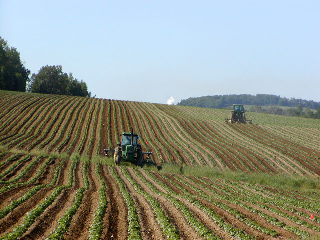
In agriculture, monoculture is the practice of growing one crop species in a field at a time. Monoculture is widely used in intensive farming and in organic farming: both a 1,000-hectare/acre cornfield and a 10-ha/acre field of organic kale are monocultures. Monoculture of crops has allowed farmers to increase efficiency in planting, managing, and harvesting, mainly by facilitating the use of machinery in these operations, but monocultures can also increase the risk of diseases or pest outbreaks. Diversity can be added both in time, as with a crop rotation or sequence, or in space, with a polyculture or intercropping (see table below). Continuous monoculture, or monocropping, where farmers raise the same species year after year, can lead to the quicker buildup and spread of pests and diseases in a susceptible crop. The term "oligoculture" has been used to describe a crop rotation of just a few crops, as practiced in several regions of the world. The concept of monoculture c ... [...More Info...] [...Related Items...] OR: [Wikipedia] [Google] [Baidu] |
Coffee
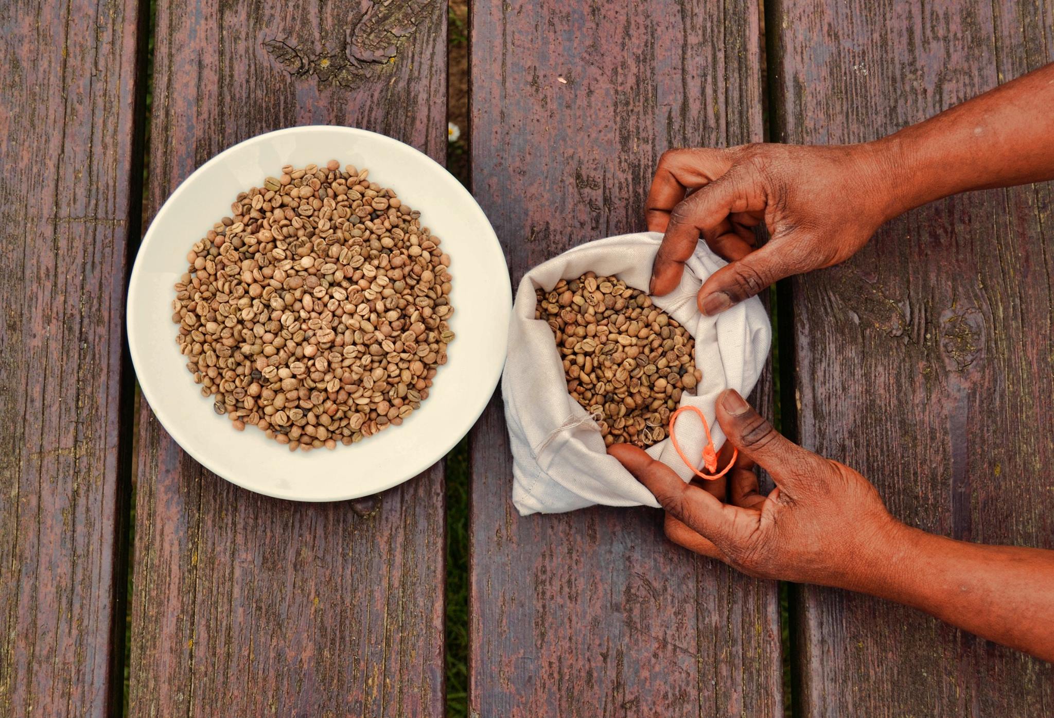
Coffee is a drink prepared from roasted coffee beans. Darkly colored, bitter, and slightly acidic, coffee has a stimulant, stimulating effect on humans, primarily due to its caffeine content. It is the most popular hot drink in the world. Seeds of the ''Coffea'' plant's fruits are separated to produce unroasted green coffee beans. The beans are Coffee roasting, roasted and then ground into fine particles that are typically steeped in hot water before being filtered out, producing a cup of coffee. It is usually served hot, although chilled or iced coffee is common. Coffee can be prepared and presented in a variety of ways (e.g., espresso, French press, caffè latte, or already-brewed canned coffee). Sugar, sugar substitutes, milk, and cream are often used to mask the bitter taste or enhance the flavor. Though coffee is now a global commodity, it has a History of coffee, long history tied closely to food traditions around the Red Sea. The earliest credible evidence of coffee d ... [...More Info...] [...Related Items...] OR: [Wikipedia] [Google] [Baidu] |
Paraíba Valley
The Paraíba Valley ( pt, Vale do Paraíba) is a landform that encompasses the regions: Paraíba Valley Metropolitan Region and Northern Coast, in the state of São Paulo and Sul-Fluminense Region, in the state of Rio de Janeiro, which stands out for concentrating a considerable portion of the Brazilian economy. The name is due to the fact that the region is part of the Paraíba do Sul river basin, since this river extends from the São Paulo and along almost the entire length of the state of Rio de Janeiro and a small southern part of the Minas Gerais state. In the strict sense, the name "''Vale do Paraíba''", "Paraíba Valley" in English, should only be used to refer to a region with a certain geographical feature. Therefore, this is not an official IBGE Region, Mesoregion or Microregion. Location It is located on the banks of the Presidente Dutra highway (BR-116), exactly between the cities of Rio de Janeiro and São Paulo, within the metropolitan complex formed by the t ... [...More Info...] [...Related Items...] OR: [Wikipedia] [Google] [Baidu] |
Economic History Of Brazil
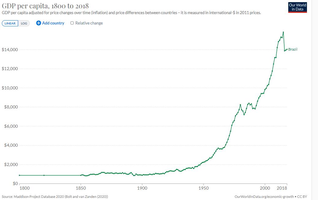
The economic history of Brazil covers various economic events and traces the changes in the Brazilian economy over the course of the history of Brazil. Portugal, which first colonized the area in the 16th century, enforced a colonial pact with Brazil, an imperial mercantile policy, which drove development for the subsequent three centuries.Charles C. Mueller and Werner Baer. "The economy". In . Independence was achieved in 1822. Slavery was fully abolished in 1888. Important structural transformations began in the 1930s, when important steps were taken to change Brazil into a modern, industrialized economy. A socioeconomic transformation took place rapidly after World War II. In the 1940s, only 31.3% of Brazil's 41.2 million inhabitants resided in towns and cities; by 1991, of the country's 146.9 million inhabitants 75.5% lived in cities, and Brazil had two of the world's largest metropolitan centers: São Paulo and Rio de Janeiro. The share of the primary sector in th ... [...More Info...] [...Related Items...] OR: [Wikipedia] [Google] [Baidu] |


