|
Raichur Doab
The Raichur Doab is a Doab, in this case the triangular region of land in the southern Indian states of Telangana and Karnataka lying between the Krishna River and its tributary, the Tungabhadra River. The doab is named for the town of Raichur in the Raichur District. The Raichur Doab is considered to be very fertile because of the sediments carried by Krishna & Tungabhadra rivers. The doab includes Raichur district and Koppal district in Karnataka, and Gadwal district in Telangana. Some areas of Raichur doab also called as Nadigadda region became a part of Telangana during Andhra Pradesh Reorganisation Act in 2014.Those areas are Gadwal, Alampur and Maganoor. Gadwal is one of the 31 districts of Telangana State. Resources Hatti Gold Mines: Situated in Hatti of Lingasugur taluk, is currently the only working gold mine in India. Evidently, it is one of the oldest mines dating back to Pre Ashokan times. During late 19th century, the gold mines were rediscovered. Raichur Ther ... [...More Info...] [...Related Items...] OR: [Wikipedia] [Google] [Baidu] |
Doab
''Doab'' () is a term used in South Asia Quote: "Originally and chiefly in South Asia: (the name of) a strip or narrow tract of land between two rivers; spec. (with) the area between the rivers Ganges and Jumna in northern India." for the tract Quote: "confluence, land between two rivers, used in India of the tongue of land between the Ganges and Jumna, and of similar tracts in the Punjab, etc., lit. ‘two waters’ " of land lying between two confluent rivers. It is similar to an interfluve. Quote: " a tract of land between two rivers : interfluve" In the ''Oxford Hindi-English Dictionary'', R. S. McGregor defines it as from Persian ''do-āb'' (, literally "two odiesof water") "a region lying between and reaching to the confluence of two rivers. The Doab ''The Doab'' designates the flat alluvial tract between the Ganges and Yamuna rivers extending from the Sivalik Hills to the two rivers' confluence at Prayagraj. It is also called as ''Ganges-Yamuna Doab'' or ''Gan ... [...More Info...] [...Related Items...] OR: [Wikipedia] [Google] [Baidu] |
Gangavati
Gangavati is a city, municipality and taluk in the Koppal district of the Indian state of Karnataka. It is one of the main commercial hubs in the Kalyana-Karnataka region. It is also the largest city, in terms of area and population, in the Koppal district. Geography Gangavathi lies at an average elevation of , and is situated close to the Tungabhadra Dam. It is a taluka (administrative division) of Koppal, a district that was previously part of Raichur. Within Gangavathi Taluk are thirty-eight gram panchayats, or self-governing villages. Economy Gangavathi is a commercial center and a major focal point for the Rice Milling industry, with its rural areas being important for Paddy cultivation. Gangavati has Asia's first Rice Technology Park. Demographics According to the 2011 India census, Gangavathi had a population of 1,05,529. Males constituted 51% of the population and females 49%. Gangavathi had an average literacy rate of 57%, lower than the national average of 59.5%: ... [...More Info...] [...Related Items...] OR: [Wikipedia] [Google] [Baidu] |
Kalyani Chalukyas
The Western Chalukya Empire ruled most of the western Deccan, South India, between the 10th and 12th centuries. This Kannadiga dynasty is sometimes called the ''Kalyani Chalukya'' after its regal capital at Kalyani, today's Basavakalyan in the modern Bidar District of Karnataka state, and alternatively the ''Later Chalukya'' from its theoretical relationship to the 6th-century Chalukya dynasty of Badami. The dynasty is called Western Chalukyas to differentiate from the contemporaneous Eastern Chalukyas of Vengi, a separate dynasty. Prior to the rise of these Chalukyas, the Rashtrakuta empire of Manyakheta controlled most of Deccan and Central India for over two centuries. In 973, seeing confusion in the Rashtrakuta empire after a successful invasion of their capital by the ruler of the Paramara dynasty of Malwa, Tailapa II, a feudatory of the Rashtrakuta Dynasty ruling from Bijapur region defeated his overlords and made Manyakheta his capital. The dynasty quickly rose to power a ... [...More Info...] [...Related Items...] OR: [Wikipedia] [Google] [Baidu] |
Rashtrakutas
Rashtrakuta (IAST: ') (r. 753-982 CE) was a royal Indian dynasty ruling large parts of the Indian subcontinent between the sixth and 10th centuries. The earliest known Rashtrakuta inscription is a 7th-century copper plate grant detailing their rule from manapur a city in Central or West India. Other ruling Rashtrakuta clans from the same period mentioned in inscriptions were the kings of Achalapur and the rulers of Kannauj. Several controversies exist regarding the origin of these early Rashtrakutas, their native homeland and their language. The Elichpur clan was a feudatory of the Badami Chalukyas, and during the rule of Dantidurga, it overthrew Chalukya Kirtivarman II and went on to build an empire with the Gulbarga region in modern Karnataka as its base. This clan came to be known as the Rashtrakutas of Manyakheta, rising to power in South India in 753 AD. At the same time the Pala dynasty of Bengal and the Prathihara dynasty of Malwa were gaining force in eastern and no ... [...More Info...] [...Related Items...] OR: [Wikipedia] [Google] [Baidu] |
Chalukyas Of Badami
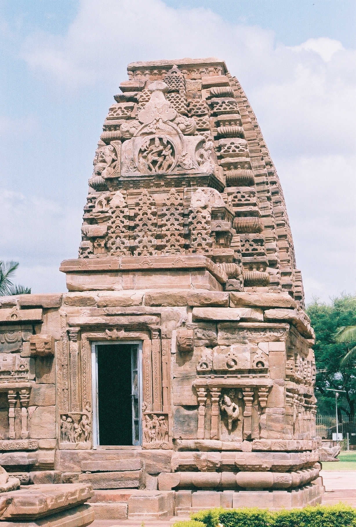
The Chalukya dynasty () was a Classical Indian dynasty that ruled large parts of southern and central India between the 6th and the 12th centuries. During this period, they ruled as three related yet individual dynasties. The earliest dynasty, known as the "Badami Chalukyas", ruled from Vatapi (modern Badami) from the middle of the 6th century. The Badami Chalukyas began to assert their independence at the decline of the Kadamba kingdom of Banavasi and rapidly rose to prominence during the reign of Pulakeshin II. After the death of Pulakeshin II, the Eastern Chalukyas became an independent kingdom in the eastern Deccan. They ruled from Vengi until about the 11th century. In the western Deccan, the rise of the Rashtrakutas in the middle of the 8th century eclipsed the Chalukyas of Badami before being revived by their descendants, the Western Chalukyas, in the late 10th century. These Western Chalukyas ruled from Kalyani (modern Basavakalyan) until the end of ... [...More Info...] [...Related Items...] OR: [Wikipedia] [Google] [Baidu] |
Shatavahana
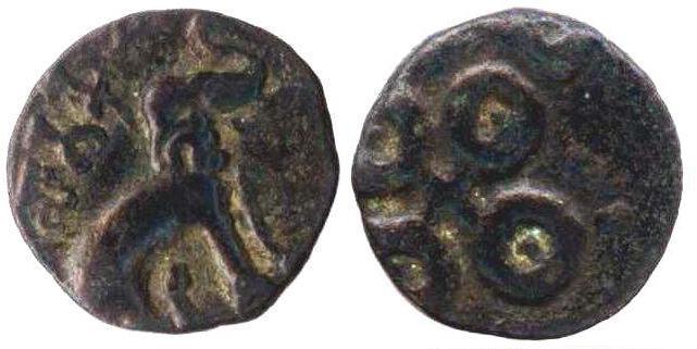
The Satavahanas (''Sādavāhana'' or ''Sātavāhana'', IAST: ), also referred to as the Andhras in the Puranas, were an ancient Indian dynasty based in the Deccan region. Most modern scholars believe that the Satavahana rule began in the late second century BCE and lasted until the early third century CE, although some assign the beginning of their rule to as early as the 3rd century BCE based on the Puranas, but uncorroborated by archaeological evidence. The Satavahana kingdom mainly comprised the present-day Andhra Pradesh, Telangana, and Maharashtra. At different times, their rule extended to parts of modern Gujarat, Madhya Pradesh, and Karnataka. The dynasty had different capital cities at different times, including Pratishthana (Paithan) and Amaravati ( Dharanikota). The origin of the dynasty is uncertain, but according to the Puranas, their first king overthrew the Kanva dynasty. In the post-Maurya era, the Satavahanas established peace in the Deccan region and resis ... [...More Info...] [...Related Items...] OR: [Wikipedia] [Google] [Baidu] |
Maski
Maski is a town and an archaeological site in the Raichur district of the state of Karnataka, India.Amalananda Ghosh (1990), p282 It lies on the bank of the Maski river which is a tributary of the Tungabhadra. Maski derives its name from Mahasangha or Masangi . The site came into prominence with the discovery of a minor rock edict of Emperor Ashoka by C. Beadon in 1915.V. R. Ramachandra Dikshitar (1993), p41 It was the first edict of Emperor Ashoka that contained the name ''Ashoka'' in it instead of the earlier edicts that referred him as ''Devanampiye piyadasi''.O. C. Handa (1994), p197Vincent Arthur Smith (1998), p5 This edict was important to conclude that many edicts found earlier in the Indian sub-continent in the name of ''Devanampiye piyadasi'', all belonged to Emperor Ashoka. The edict is etched on a rock-face of ''Durgada-gudda'', one of the gneissic outcrops that are present in the site. Maski is also the place on the Raichur Doab which was also under the hegemony of t ... [...More Info...] [...Related Items...] OR: [Wikipedia] [Google] [Baidu] |
Ashoka
Ashoka (, ; also ''Asoka''; 304 – 232 BCE), popularly known as Ashoka the Great, was the third emperor of the Maurya Empire of Indian subcontinent during to 232 BCE. His empire covered a large part of the Indian subcontinent, stretching from present-day Afghanistan in the west to present-day Bangladesh in the east, with its capital at Pataliputra. A patron of Buddhism, he is credited with playing an important role in the spread of Buddhism across ancient Asia. Much of the information about Ashoka comes from his Brahmi edicts, which are among the earliest long inscriptions of ancient India, and the Buddhist legends written centuries after his death. Ashoka was son of Bindusara, and a grandson of the dynasty's founder Chandragupta. During his father's reign, he served as the governor of Ujjain in central India. According to some Buddhist legends, he also suppressed a revolt in Takshashila as a prince, and after his father's death, killed his brothers to ... [...More Info...] [...Related Items...] OR: [Wikipedia] [Google] [Baidu] |
Kanakagiri
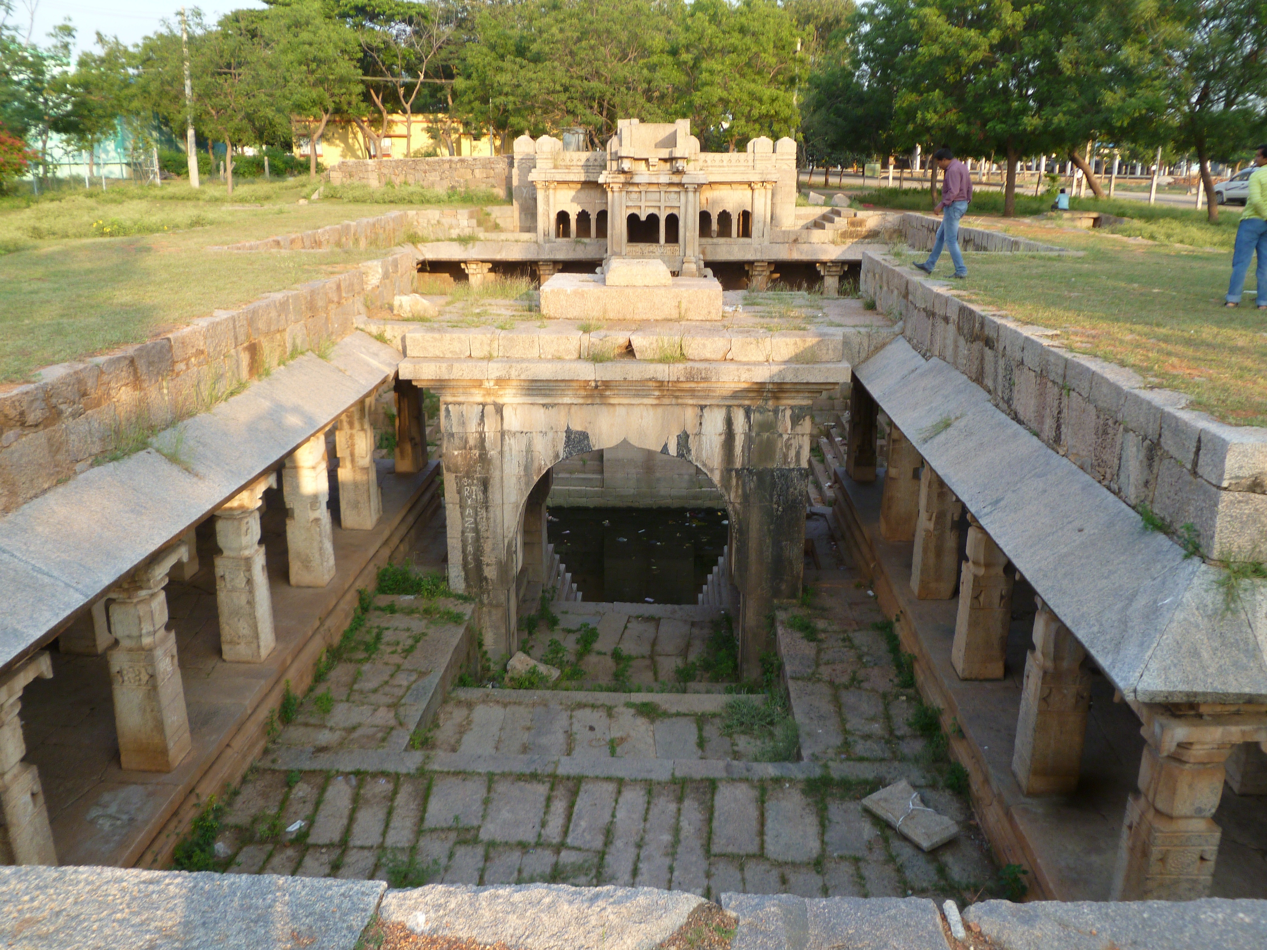
Kanakagiri (also known as Suvarnagiri) is a town in Karnataka state of India. It was a provincial capital of the Mauryan Empire and later became the capital of the Nayaka dynasty who were the Palegars (feudatory) of the Vijayanagara Empire. It is also the site of the historical site Kanakachalapathi Temple (''Kanakachalapathi Mandir'') which was built by the Nayakas. Geography Kanakagiri is situated in Koppal district, 20 km northwest of the town of Gangavati in the Indian state of Karnataka. Temple Kanakachalapathi temple was built by the Nayakas of Kanakgiri. Its halls and pillars are a unique example of south Indian architecture from the Vijayanagara period. The '' gopuras'' and walls are adorned with sculptures, including statues of Rajas and Ranis in black polished stone, plaster models, and wooden statues of mythological figures. Kanakagiri Jain tirth is a complex of Jain temple built by Western Ganga Dynasty in the 5th or 6th century. A royal bath const ... [...More Info...] [...Related Items...] OR: [Wikipedia] [Google] [Baidu] |
Maurya Empire
The Maurya Empire, or the Mauryan Empire, was a geographically extensive Iron Age historical power in the Indian subcontinent based in Magadha, having been founded by Chandragupta Maurya in 322 BCE, and existing in loose-knit fashion until 185 BCE. Quote: "Magadha power came to extend over the main cities and communication routes of the Ganges basin. Then, under Chandragupta Maurya (c.321–297 bce), and subsequently Ashoka his grandson, Pataliputra became the centre of the loose-knit Mauryan 'Empire' which during Ashoka's reign (c.268–232 bce) briefly had a presence throughout the main urban centres and arteries of the subcontinent, except for the extreme south." The Maurya Empire was centralized by the conquest of the Indo-Gangetic Plain, and its capital city was located at Pataliputra (modern Patna). Outside this imperial center, the empire's geographical extent was dependent on the loyalty of military commanders who controlled the armed cities sprinkling it. During ... [...More Info...] [...Related Items...] OR: [Wikipedia] [Google] [Baidu] |
Bayalu Seeme
Bayaluseeme or Bayalu Seeme is the area lying to the east of Malenadu, a region of Karnataka state in India. The area is largely open plain, with few hillocks. It includes the districts of Bangalore, Bagalkot, Bijapur, Chitradurga, Davanagere, Dharwad, Gadag, Hassan, Haveri, Mandya, Mysore, and Tumkur. Topography Bayalu Seeme has a gently rolling surface, punctuated by several of the large rivers that rise in the Western Ghats and flow eastward to empty into the Bay of Bengal. It is often subdivided into the northern and southern Bayalu Seeme. Northern Bayalu Seeme Northern Bayalu Seeme is a dry, mostly treeless expanse of plateau, its elevation being between 300 and 700 meters. It covers Belgaum district, Ballari district, Bidar district, Bagalkot district, Bijapur district, Chitradurga district, Dharwad district, Kalaburagi district and Raichur district. It is drained by the Krishna River and its tributaries the Bhima River, Ghataprabha River, Malaprabha River, and ... [...More Info...] [...Related Items...] OR: [Wikipedia] [Google] [Baidu] |
Deccan Plateau
The large Deccan Plateau in southern India is located between the Western Ghats and the Eastern Ghats, and is loosely defined as the peninsular region between these ranges that is south of the Narmada river. To the north, it is bounded by the Satpura and Vindhya Ranges. A rocky terrain marked by boulders, its elevation ranges between , with an average of about .Editors of Encyclopedia Britannica (2014), ''Deccan plateau India''Encyclopaedia Britannica/ref> It is sloping generally eastward. Thus, its principal rivers—the Godavari, Krishna, and Kaveri (Cauvery)—flow eastward from the Western Ghats to the Bay of Bengal. The plateau is drier than the coastal region of southern India and is arid in places. It produced some of the major dynasties in Indian history, including the Pallavas, Satavahana, Vakataka, Chalukya, and Rashtrakuta dynasties, also the Western Chalukya Empire, the Kadambas, the Yadava dynasty, the Kakatiya Empire, the Musunuri Nayakas regime, th ... [...More Info...] [...Related Items...] OR: [Wikipedia] [Google] [Baidu] |


.jpg)