|
RMS Laconia (1911)
RMS ''Laconia'' was a Cunard ocean liner built by Swan Hunter & Wigham Richardson, launched on 27 July 1911, with the wife of the U.S. Ambassador Mrs. Whitelaw Reid christening the vessel. ''Laconia'' was delivered to the Cunard Line on 12 December 1911, and began service on 20 January 1912. She was the first Cunard ship of that name. She was torpedoed and sunk on 25 February 1917 during World War I; 12 passengers were killed. ''Laconia'' was intended for the Liverpool-Boston service with cruising from New York to the Mediterranean off season. The ship was the first British ship and first North Atlantic liner to be equipped with anti-roll tanks. Drafted into war service On the outbreak of World War I, ''Laconia'' was converted into an armed merchant cruiser in 1914. She was fitted with eight guns and for a time she carried two seaplanes, which were housed on the quarterdeck. She was based at Simon's Town, South Africa in the South Atlantic, from which she patrolled the Sout ... [...More Info...] [...Related Items...] OR: [Wikipedia] [Google] [Baidu] |
World War I
World War I (28 July 1914 11 November 1918), often abbreviated as WWI, was one of the deadliest global conflicts in history. Belligerents included much of Europe, the Russian Empire, the United States, and the Ottoman Empire, with fighting occurring throughout Europe, the Middle East, Africa, the Pacific, and parts of Asia. An estimated 9 million soldiers were killed in combat, plus another 23 million wounded, while 5 million civilians died as a result of military action, hunger, and disease. Millions more died in genocides within the Ottoman Empire and in the 1918 influenza pandemic, which was exacerbated by the movement of combatants during the war. Prior to 1914, the European great powers were divided between the Triple Entente (comprising France, Russia, and Britain) and the Triple Alliance (containing Germany, Austria-Hungary, and Italy). Tensions in the Balkans came to a head on 28 June 1914, following the assassination of Archduke Franz Ferdin ... [...More Info...] [...Related Items...] OR: [Wikipedia] [Google] [Baidu] |
German East Africa
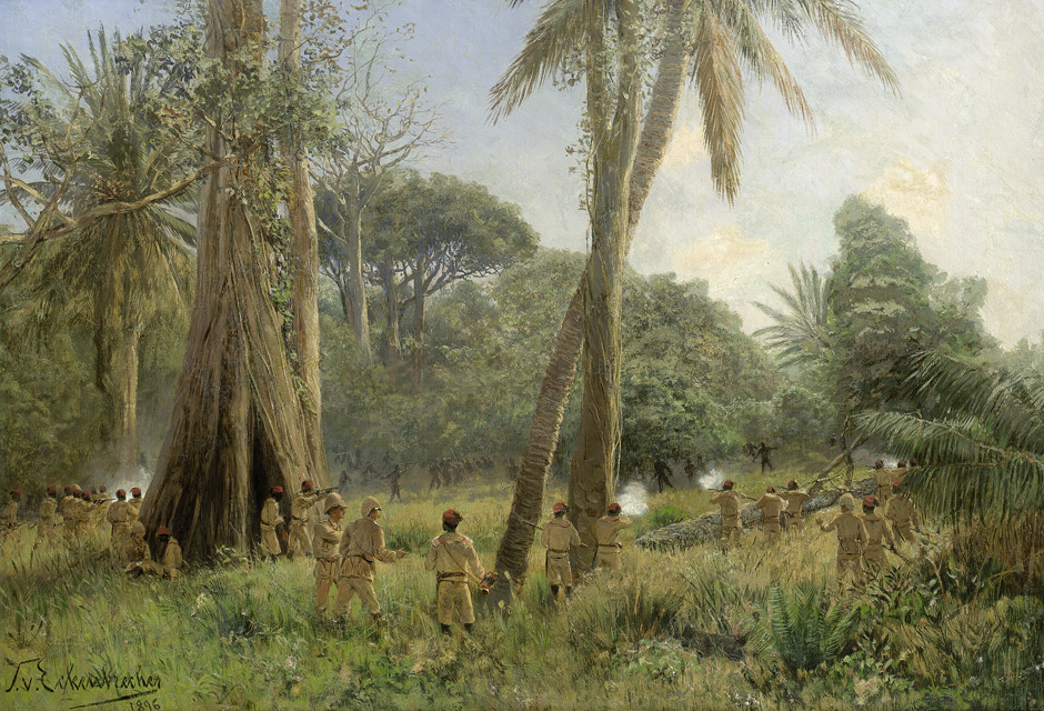
German East Africa (GEA; german: Deutsch-Ostafrika) was a German colony in the African Great Lakes region, which included present-day Burundi, Rwanda, the Tanzania mainland, and the Kionga Triangle, a small region later incorporated into Mozambique. GEA's area was , which was nearly three times the area of present-day Germany and double the area of metropolitan Germany at the time. The colony was organised when the German military was asked in the late 1880s to put down a revolt against the activities of the German East Africa Company. It ended with Imperial Germany's defeat in World War I. Ultimately GEA was divided between Britain, Belgium and Portugal and was reorganised as a mandate of the League of Nations. History Like other colonial powers the Germans expanded their empire in the Africa Great Lakes region, ostensibly to fight slavery and the slave trade. Unlike other imperial powers, however they never formally abolished either slavery or the slave trade and preferre ... [...More Info...] [...Related Items...] OR: [Wikipedia] [Google] [Baidu] |
Tanga, Tanzania
Tanga is both the name of the most northerly port city of Tanzania on the west of the Indian Ocean, and the capital of Tanga Region. It had a population of 273,332 in 2012. The name ''Tanga'' means "sail" in Swahili. The city of Tanga sits on the Indian Ocean, and is the capital of Tanga Region. The city is also the capital of Tanga District. Economy Major exports from the port of Tanga include sisal, coffee, tea, and cotton. Tanga is also an important railroad terminus, connecting much of the northern Tanzanian interior with the sea via the Tanzania Railways Corporation's Link Line and Central Line. Tanga is linked to the African Great Lakes region and the Tanzanian economic capital of Dar es Salaam. The city is served by Tanga Airport. The harbour and surrounding is the centre of life in Tanga. It has several markets in several neighbourhoods. History Early history The earliest documentation about Tanga comes from the Portuguese. A trading post was established by the Portugu ... [...More Info...] [...Related Items...] OR: [Wikipedia] [Google] [Baidu] |
Zanzibar
Zanzibar (; ; ) is an insular semi-autonomous province which united with Tanganyika in 1964 to form the United Republic of Tanzania. It is an archipelago in the Indian Ocean, off the coast of the mainland, and consists of many small islands and two large ones: Unguja (the main island, referred to informally as Zanzibar) and Pemba Island. The capital is Zanzibar City, located on the island of Unguja. Its historic centre, Stone Town, is a World Heritage Site. Zanzibar's main industries are spices, raffia and tourism. In particular, the islands produce cloves, nutmeg, cinnamon, and black pepper. For this reason, the Zanzibar Archipelago, together with Tanzania's Mafia Island, are sometimes referred to locally as the "Spice Islands". Tourism in Zanzibar is a more recent activity, driven by government promotion that caused an increase from 19,000 tourists in 1985, to 376,000 in 2016. The islands are accessible via 5 ports and the Abeid Amani Karume International Airport, w ... [...More Info...] [...Related Items...] OR: [Wikipedia] [Google] [Baidu] |
Headquarters Ship
During the Second World War, the Royal Navy commissioned several headquarters ships (sometimes referred to as Landing Ship Headquarters), which were responsible for communication between aircraft, ships and shore during amphibious operations. The first such recognised ship was . During the Second World War, four Landing Ships Headquarters (Large) (or LSH(L)s) were commissioned into the Royal Navy. * - formerly the MV ''Bulolo'' requisitioned from Burns Philps. Served as the LSH for Gold during the Normandy Landings. * - formerly the French passenger liner MV ''Charles Plumier'' and seized by the Royal Navy at Gibraltar. Served as the LSH for Sword during the Normandy Landings. * HMS ''Hilary'' - formerly the RMS ''Hilary'' requisitioned from the Booth Steam Ship Company. Served as the LSH for Juno during the Normandy Landings. * HMS ''Lothian'' - formerly the MV ''City of Edinburgh'' requisitioned from the Ellerman Line (converted in 1944). The Royal Navy s , and were conve ... [...More Info...] [...Related Items...] OR: [Wikipedia] [Google] [Baidu] |
Indian Ocean
The Indian Ocean is the third-largest of the world's five oceanic divisions, covering or ~19.8% of the water on Earth's surface. It is bounded by Asia to the north, Africa to the west and Australia to the east. To the south it is bounded by the Southern Ocean or Antarctica, depending on the definition in use. Along its core, the Indian Ocean has some large marginal or regional seas such as the Arabian Sea, Laccadive Sea, Bay of Bengal, and Andaman Sea. Etymology The Indian Ocean has been known by its present name since at least 1515 when the Latin form ''Oceanus Orientalis Indicus'' ("Indian Eastern Ocean") is attested, named after Indian subcontinent, India, which projects into it. It was earlier known as the ''Eastern Ocean'', a term that was still in use during the mid-18th century (see map), as opposed to the ''Western Ocean'' (Atlantic Ocean, Atlantic) before the Pacific Ocean, Pacific was surmised. Conversely, Ming treasure voyages, Chinese explorers in the Indian Oce ... [...More Info...] [...Related Items...] OR: [Wikipedia] [Google] [Baidu] |
South Atlantic
The Atlantic Ocean is the second-largest of the world's five oceans, with an area of about . It covers approximately 20% of Earth's surface and about 29% of its water surface area. It is known to separate the " Old World" of Africa, Europe and Asia from the "New World" of the Americas in the European perception of the World. The Atlantic Ocean occupies an elongated, S-shaped basin extending longitudinally between Europe and Africa to the east, and North and South America to the west. As one component of the interconnected World Ocean, it is connected in the north to the Arctic Ocean, to the Pacific Ocean in the southwest, the Indian Ocean in the southeast, and the Southern Ocean in the south (other definitions describe the Atlantic as extending southward to Antarctica). The Atlantic Ocean is divided in two parts, by the Equatorial Counter Current, with the North(ern) Atlantic Ocean and the South(ern) Atlantic Ocean split at about 8°N. Scientific explorations of the Atlanti ... [...More Info...] [...Related Items...] OR: [Wikipedia] [Google] [Baidu] |
South Africa
South Africa, officially the Republic of South Africa (RSA), is the southernmost country in Africa. It is bounded to the south by of coastline that stretch along the South Atlantic and Indian Oceans; to the north by the neighbouring countries of Namibia, Botswana, and Zimbabwe; and to the east and northeast by Mozambique and Eswatini. It also completely enclaves the country Lesotho. It is the southernmost country on the mainland of the Old World, and the second-most populous country located entirely south of the equator, after Tanzania. South Africa is a biodiversity hotspot, with unique biomes, plant and animal life. With over 60 million people, the country is the world's 24th-most populous nation and covers an area of . South Africa has three capital cities, with the executive, judicial and legislative branches of government based in Pretoria, Bloemfontein, and Cape Town respectively. The largest city is Johannesburg. About 80% of the population are Black South Afri ... [...More Info...] [...Related Items...] OR: [Wikipedia] [Google] [Baidu] |
Simon's Town
Simon's Town ( af, Simonstad), sometimes spelled Simonstown, is a town in the Western Cape, South Africa and is home to Naval Base Simon's Town, the South African Navy's largest base. It is located on the shores of False Bay, on the eastern side of the Cape Peninsula. For more than two centuries it has been a naval base and harbour (first for the British Royal Navy and now the South African Navy). The town is named after Simon van der Stel, an early governor of the Cape Colony. Topography The land rises steeply from near the water's edge and the town is boxed in along the shoreline by the heights above. The small harbour itself is protected from swells by a breakwater that was built with thousands of huge blocks of sandstone quarried out of the face of the mountain above. Simon's Town is now in effect a suburb of the City of Cape Town Metropolitan Municipality. The Simon's Town railway station is the terminus of the Southern Line, a railway line that runs south of the central ... [...More Info...] [...Related Items...] OR: [Wikipedia] [Google] [Baidu] |
Quarterdeck
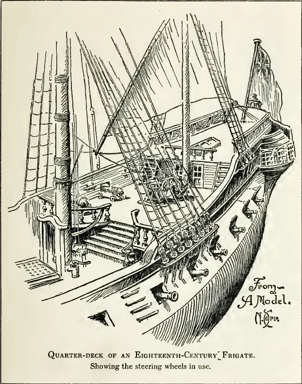
The quarterdeck is a raised deck behind the main mast of a sailing ship. Traditionally it was where the captain commanded his vessel and where the ship's colours were kept. This led to its use as the main ceremonial and reception area on board, and the word is still used to refer to such an area on a ship or even in naval establishments on land. Many such facilities have areas decorated like shipboard quarterdecks. In the 20th century the word came to be applied to the area at the stern of the ship, often (on naval vessels) used for secondary weapons and (on battleships) seaplane catapults. In modern military designs the stern has been roofed over by the helicopter deck but a large space remains underneath which is typically used for sonar equipment or small boats and which is still referred to as the quarterdeck in Commonwealth navies. Ceremonial use There are ancient traditions of offering special deference to the quarterdeck. Greek, Roman, and Carthaginian warships all c ... [...More Info...] [...Related Items...] OR: [Wikipedia] [Google] [Baidu] |
Seaplane
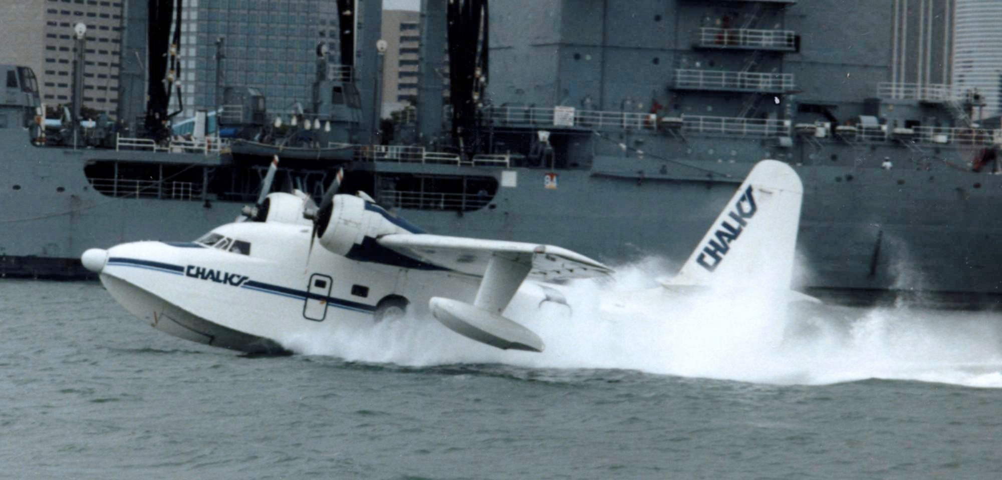
A seaplane is a powered fixed-wing aircraft capable of takeoff, taking off and water landing, landing (alighting) on water.Gunston, "The Cambridge Aerospace Dictionary", 2009. Seaplanes are usually divided into two categories based on their technological characteristics: floatplanes and flying boats; the latter are generally far larger and can carry far more. Seaplanes that can also take off and land on airfields are in a subclass called amphibious aircraft, or amphibians. Seaplanes were sometimes called ''hydroplanes'', but currently this term applies instead to Hydroplane (boat), motor-powered watercraft that use the technique of Planing (boat), hydrodynamic lift to skim the surface of water when running at speed. The use of seaplanes gradually tapered off after World War II, partially because of the investments in airports during the war but mainly because landplanes were less constrained by weather conditions that could result in sea states being too high to operate seaplan ... [...More Info...] [...Related Items...] OR: [Wikipedia] [Google] [Baidu] |


