|
R411 Road (Ireland)
The R411 road is a Regional road (Ireland), regional road in Republic of Ireland, Ireland, located in County Kildare and County Wicklow. It runs between the town of Naas and the village of Hollywood, County Wicklow, Hollywood, passing through Ballymore Eustace in doing so. References Regional roads in the Republic of Ireland Roads in County Kildare Roads in County Wicklow {{Ireland-road-stub ... [...More Info...] [...Related Items...] OR: [Wikipedia] [Google] [Baidu] |
Ballymore Eustace
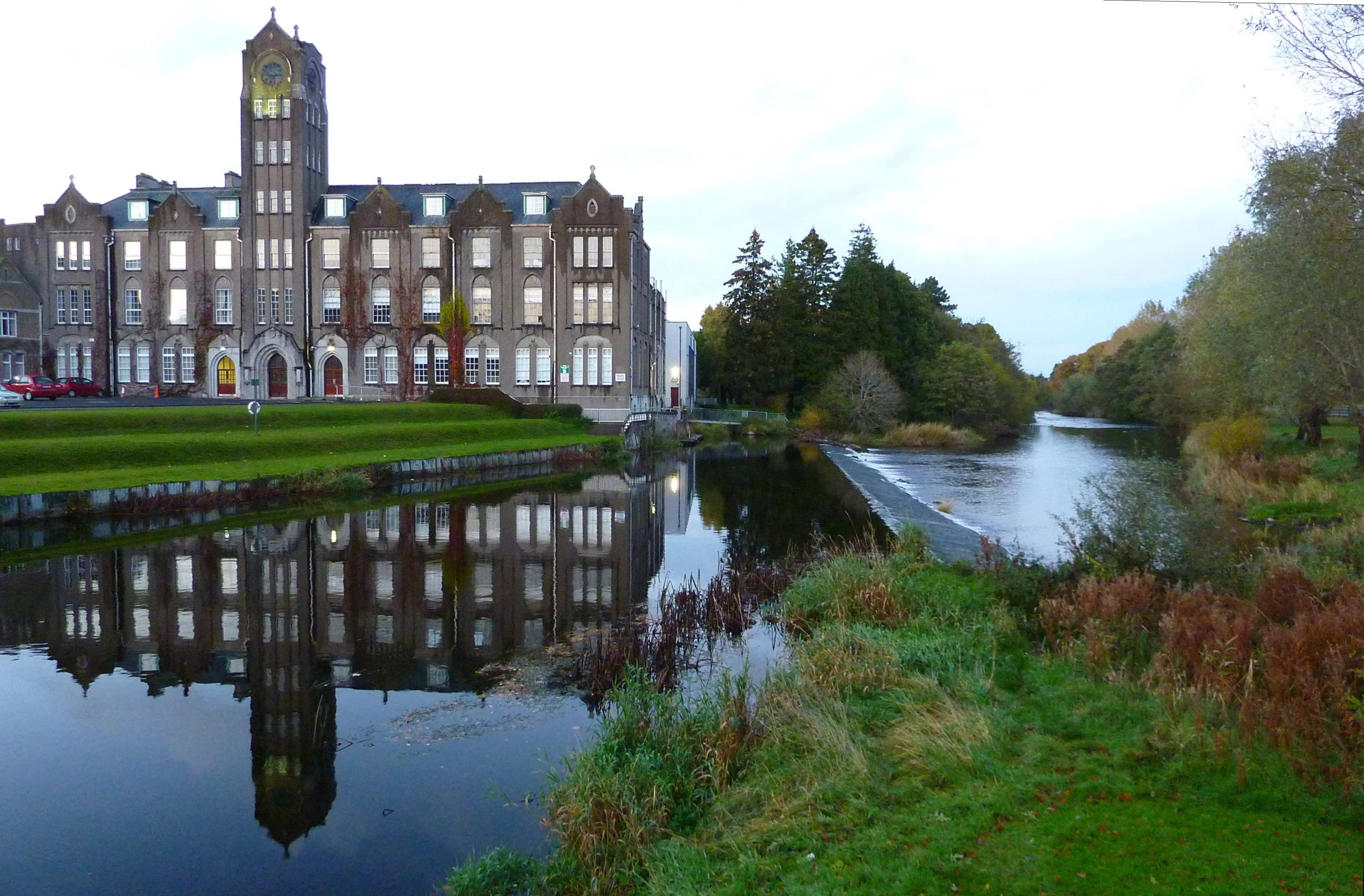
Ballymore Eustace () is a small town situated in County Kildare in Ireland, although until 1836 it lay within an exclave (a detached "pocket") of County Dublin. It lies close to the border with County Wicklow. The town's name, which is frequently shortened to "Ballymore" in everyday usage, derives from the Irish ''An Baile Mór'' ("the big town") with the addition – to distinguish it from several other Ballymores in Ireland – of the family name (Fitz)Eustace. A fuller version of the town's official name in Irish is ''Baile Mór na nIústasach'' ("big town of the Eustaces"). Prior to the Norman invasion the area was known as Críoch Ua Cormaic. Location and access Ballymore Eustace is located at the junction of the R411 and R413 regional roads, on the River Liffey, over which the R411 is carried by a relatively rare seven-arch bridge. It had a population of 872 at the 2011 census. The town is served by Dublin Bus, with route number 65 running four times daily (Monday- ... [...More Info...] [...Related Items...] OR: [Wikipedia] [Google] [Baidu] |
R448 Road (Ireland)
The R448 road is a regional road in Ireland. It is the designation given to the former N9 national primary road when it was bypassed by the M9 motorway. Route The official description of the R448 from the ''Roads Act 1993 (Classification of Regional Roads) Order 2012'' ''Irish Statute Book''. 2012-02-28. reads: :R448: Naas, County Kildare — Waterford (Old National Route 9) :Between its junction with R445 at Main Street in the town of Naas and its junction with N80 at Rathnapish in the county of Carlow via Fairgreen and Kilcullen Road in the town of Naas: Bluebell, Mylerstown C ... [...More Info...] [...Related Items...] OR: [Wikipedia] [Google] [Baidu] |
Naas
Naas ( ; ga, Nás na Ríogh or ) is the county town of County Kildare in Ireland. In 2016, it had a population of 21,393, making it the second largest town in County Kildare after Newbridge. History The name of Naas has been recorded in three forms in Irish: , translating as 'Place of Assembly of the Kings'; , translating to 'the Place of Assembly'; and , translating to 'Place of assembly of the Leinster Men'. In the Middle Ages, Naas became a walled market town and was occasionally raided by the O'Byrne and O'Toole clans from the nearby area which became County Wicklow. Naas features on the 1598 map by Abraham Ortelius as ''Nosse''. A mayor and council were selected by local merchants and landowners. Naas became known as the "county town" of County Kildare because of its use as a place for trading, public meetings, local administration including law courts, racecourses and the army's Devoy Barracks (closed 1998). In the Middle Ages, before it settled permanently in Dubli ... [...More Info...] [...Related Items...] OR: [Wikipedia] [Google] [Baidu] |
River Liffey
The River Liffey (Irish: ''An Life'', historically ''An Ruirthe(a)ch'') is a river in eastern Ireland that ultimately flows through the centre of Dublin to its mouth within Dublin Bay. Its major tributaries include the River Dodder, the River Poddle and the River Camac. The river supplies much of Dublin's water and supports a range of recreational activities. Name Ptolemy's ''Geography'' (2nd century AD) described a river, perhaps the Liffey, which he labelled Οβοκα (''Oboka''). Ultimately this led to the name of the River Avoca in County Wicklow. The Liffey was previously named ''An Ruirthech'', meaning "fast (or strong) runner". The word ''Liphe'' (or ''Life'') referred originally to the name of the plain through which the river ran, but eventually came to refer to the river itself. The word may derive from the same root as Welsh ''llif'' (flow, stream), namely Proto-Indo-European ''lē̆i-4'', but Gearóid Mac Eoin has more recently proposed that it may derive from a n ... [...More Info...] [...Related Items...] OR: [Wikipedia] [Google] [Baidu] |
R413 Road (Ireland)
The R413 road is a regional road in Ireland, which runs west-east from Kildare to Ballymore Eustace, all in County Kildare. En route, it skirts, and largely demarcates, of the northern edge of the Curragh. The route is long. Route The official description of the R413 from the ''Roads Act 1993 (Classification of Regional Roads) Order 2012'' ''Irish Statute Book''. 2012-02-28. reads: :R413: Kildare — Kilcullen — Barrymore Eustace, County Kildare Between its junction with R415 at Station Road in the town of [...More Info...] [...Related Items...] OR: [Wikipedia] [Google] [Baidu] |
County Wicklow
County Wicklow ( ; ga, Contae Chill Mhantáin ) is a county in Ireland. The last of the traditional 32 counties, having been formed as late as 1606, it is part of the Eastern and Midland Region and the province of Leinster. It is bordered by the Irish Sea to the east and the counties of Wexford to the south, Carlow to the southwest, Kildare to the west, and South Dublin and Dún Laoghaire–Rathdown to the north. Wicklow is named after its county town of Wicklow, which derives from the name (Old Norse for "Vikings' Meadow"). Wicklow County Council is the local authority for the county, which had a population of 155,258 at the 2022 census. Colloquially known as the "Garden of Ireland" for its scenerywhich includes extensive woodlands, nature trails, beaches, and ancient ruins while allowing for a multitude of walking, hiking, and climbing optionsit is the 17th largest of Ireland's 32 counties by area and the 15th largest by population. It is also the fourth largest of Lein ... [...More Info...] [...Related Items...] OR: [Wikipedia] [Google] [Baidu] |
IRL N81
IRL may refer to: Places * Republic of Ireland (ISO 3166-1 alpha-3 country code) * Irlam railway station (National Rail station code IRL), England Organizations * International Rugby League, the governing body for the sport of rugby league * Industrial Research Limited, New Zealand * Isamaa ja Res Publica Liit (Pro Patria and Res Publica Union), an Estonian political party * Institute for Research on Learning, Palo Alto, California, US, 1986–2000 * Institut Ramon Llull, promoting Catalan language and culture * Ipswich Rugby League, Australian rugby league football competition Other uses * ''IRL'' (film), a 2013 film * Indy Racing League 1995–2013, later INDYCAR * Internet resource locator * "In real life", internet term * In Real Life (band), boy band * Inverse reinforcement learning Reinforcement learning (RL) is an area of machine learning concerned with how intelligent agents ought to take actions in an environment in order to maximize the notion of cumulative re ... [...More Info...] [...Related Items...] OR: [Wikipedia] [Google] [Baidu] |
N81 Road (Ireland)
The N81 road is a national secondary road in Ireland, from the M50 motorway to Tullow, County Carlow, north to south. The N81 continues past Tullow for another 8 km to terminate at the village of Closh, County Carlow, where it intersects the N80. The N81 is longroute map. The road is a dual carriageway between M50 motorway and west of Tallaght, known as the Tallaght Bypass or Blessington Road. It intersects with the M50 motorway at Junction 11. There are plans to extend the dual carriageway by to the urban boundary. The N81 is the only major national road emanating from Dublin that is a national secondary rather than national primary road. The official definition of the N81 from the ''Roads Act, 1993 (Declaration of National Roads) Order, 2012'' Statutory I ... [...More Info...] [...Related Items...] OR: [Wikipedia] [Google] [Baidu] |
Hollywood, County Wicklow
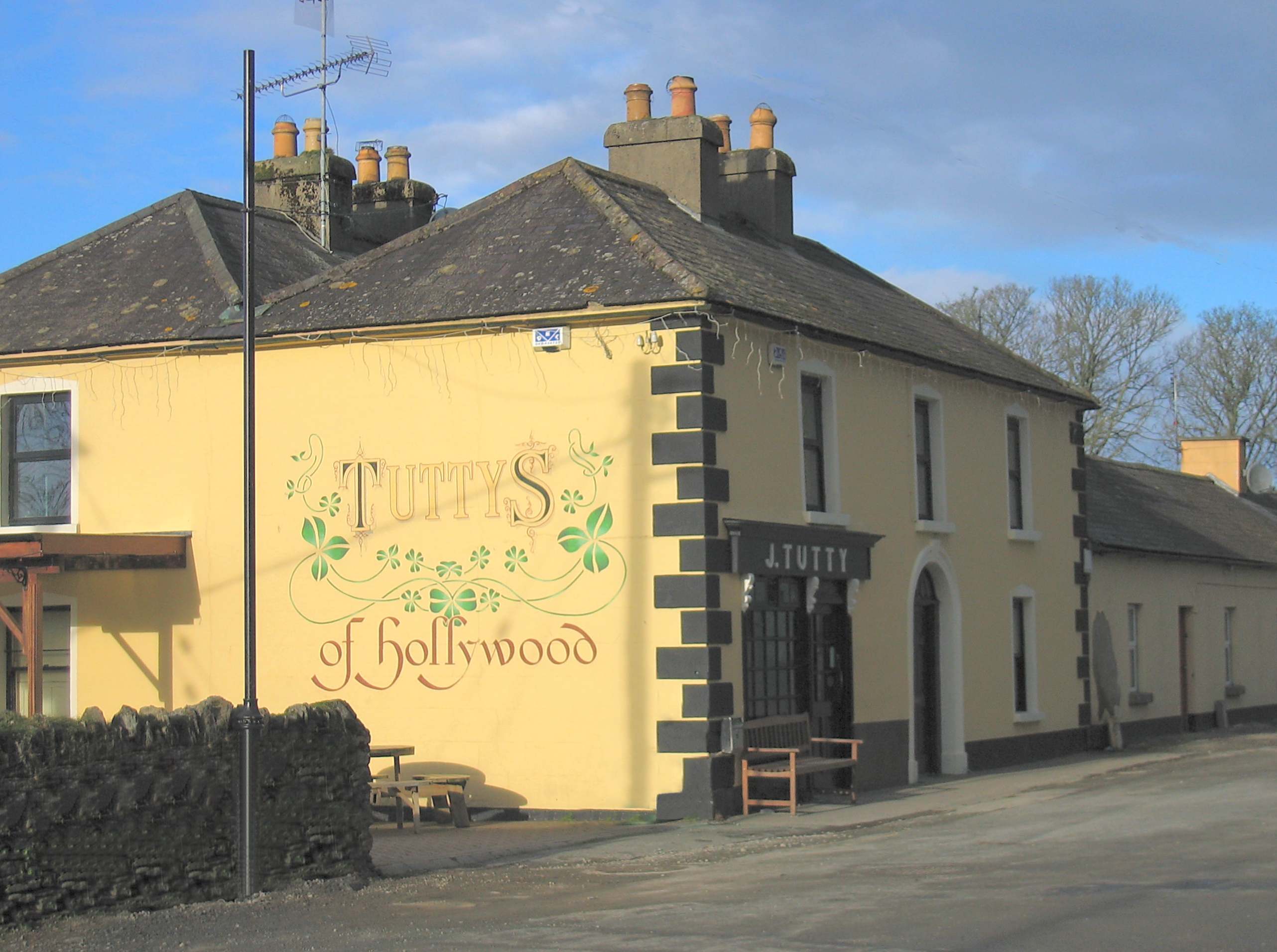
Hollywood () is a village in west County Wicklow, Ireland. It is situated on the Wicklow Gap road, near its junction with the N81 national secondary road. It is known for its pre-1950s themed fair which takes place in August of every year. A population of less than 100 people registered in the 2002 Census, though the community draws from a larger area which consists of about 500 people. Etymology ''Cillín Chaoimhín'' is the associated Irish name for Hollywood; its literal translation being Kevin's Small Church. Another, older Irish name is ''Cnoic Rua'', literally meaning ''Red Hill''. This may be a reference to the red berries of holly trees on the hills above the village or it may in fact be a reference to the presence of Wicklow heather. Another possibility is that the original name for Hollywood may have been Holy Wood, as a reference to Saint Kevin's passage through. Pilgrimage The village has an association with 6th Century Saint Kevin and many pilgrims passed t ... [...More Info...] [...Related Items...] OR: [Wikipedia] [Google] [Baidu] |
Regional Road (Ireland)
A regional road ( ga, bóthar réigiúnach) in the Republic of Ireland is a class of road not forming a major route (such as a national primary road or national secondary road), but nevertheless forming a link in the Roads in Ireland, national route network. There are over 11,600 kilometres (7,200 miles) of regional roads. Regional roads are numbered with three-digit route numbers, prefixed by "R" (e.g. R105). The equivalent road category in Northern Ireland are Roads in Northern Ireland#"B" roads, B roads. History Until 1977, classified roads in the Republic of Ireland were designated with one of two prefixes: Trunk Roads in Ireland, "T" for Trunk Roads and "L" for Link Roads. ThLocal Government (Roads and Motorways) Act authorised the designation of roads as National roads: in 1977, twenty-five National Primary roads (N1-N25) and thirty-three National Secondary roads (N51-N83) were initially designated unde Many of the remaining classified roads became Regional roads (formally ... [...More Info...] [...Related Items...] OR: [Wikipedia] [Google] [Baidu] |


