|
Persiaran Tujuan
Persiaran Tujuan is a main road in Subang Jaya, Selangor, Malaysia. The road connects Subang Jaya west interchange at Federal Highway ( Federal Route 2) to Persiaran Kewajipan. It is one of the busiest roads in UEP Subang Jaya during rush hour from/to Kuala Lumpur , anthem = '' Maju dan Sejahtera'' , image_map = , map_caption = , pushpin_map = Malaysia#Southeast Asia#Asia , pushpin_map_caption = , coordinates = , su .... It is an alternative route to Persiaran Kewajipan for motorists to avoid traffic congestion. During workdays or peak hours, there are restricted routes along Persiaran Tujuan. Heavy vehicles (except buses and tankers) with laden and unladen heavy vehicles weighing 10,000 kg or more are not allowed to enter these routes between 6:30 am until 9:30 am on Monday to Friday (except public holidays). A compound fine will be issued to heavy vehicles that flout the rule. Li ... [...More Info...] [...Related Items...] OR: [Wikipedia] [Google] [Baidu] |
Federal Highway, Malaysia
Federal Highway ( ms, Lebuhraya Persekutuan, zh, 联邦大道, abbreviation: FH2) is a Malaysian controlled-access highway connecting the capital city of Kuala Lumpur, and Klang, Selangor. The highway starts from Seputeh in Kuala Lumpur to Klang, Selangor. It is the busiest highway in Klang Valley during rush hour from/to Kuala Lumpur. The Federal Highway is coded as Federal Route 2. History The history of the highway started after the separation of Singapore from Malaysia on 9 August 1965, when the Malaysian government decided to make Port Swettenham (now Port Klang) as Malaysia's new national port as a replacement of Singapore. As a result, the government planned to build a highway connecting Port Klang to Kuala Lumpur by upgrading the former Kuala Lumpur–Klang Highway (Jalan Kuala Lumpur–Klang) (opened to traffic on 14 January 1959) to a full motorway by replacing the existing at-grade intersections with interchanges, making the Federal Highway as Malaysia's first ... [...More Info...] [...Related Items...] OR: [Wikipedia] [Google] [Baidu] |
Shah Alam Expressway
The Shah Alam Expressway is a controlled-access highway in Peninsular Malaysia running between Pandamaran in Klang, Selangor to Sri Petaling in Kuala Lumpur. Shah Alam Expressway is the third east–west-oriented expressway in the Klang Valley after the Federal Highway and New Klang Valley Expressway. This expressway is part of the Kuala Lumpur Middle Ring Road 2 Scheme (Sunway Interchange–Sri Petaling Interchange). Overview The Shah Alam Expressway is an alternative to the congested Federal Highway, and a motorist on the expressway can practically travel to any part of the Klang Valley as it connects to a wide range of highway networks such as the Damansara–Puchong Expressway, North–South Expressway Central Link, North–South Expressway, Maju Expressway, New Klang Valley Expressway, Kemuning–Shah Alam Highway and the Kuala Lumpur–Karak Expressway. Given its high accessibility in connectivity, the Shah Alam Expressway is a popular travelling mode and over one millio ... [...More Info...] [...Related Items...] OR: [Wikipedia] [Google] [Baidu] |
Kuala Lumpur
, anthem = '' Maju dan Sejahtera'' , image_map = , map_caption = , pushpin_map = Malaysia#Southeast Asia#Asia , pushpin_map_caption = , coordinates = , subdivision_type = Country , subdivision_name = , subdivision_type1 = Administrative areas , subdivision_name1 = , established_title = Establishment , established_date = 1857 , established_title2 = City status , established_date2 = 1 February 1972 , established_title3 = Transferred to federal jurisdiction , established_date3 = 1 February 1974 , government_type = Federal administrationwith local government , governing_body = Kuala Lumpur City Hall , leader_title = Mayor , leader_name = Mahadi bin Che Ngah , total_type = Federal territory , area_footnotes = , area_total_km2 = 2 ... [...More Info...] [...Related Items...] OR: [Wikipedia] [Google] [Baidu] |
Rush Hour
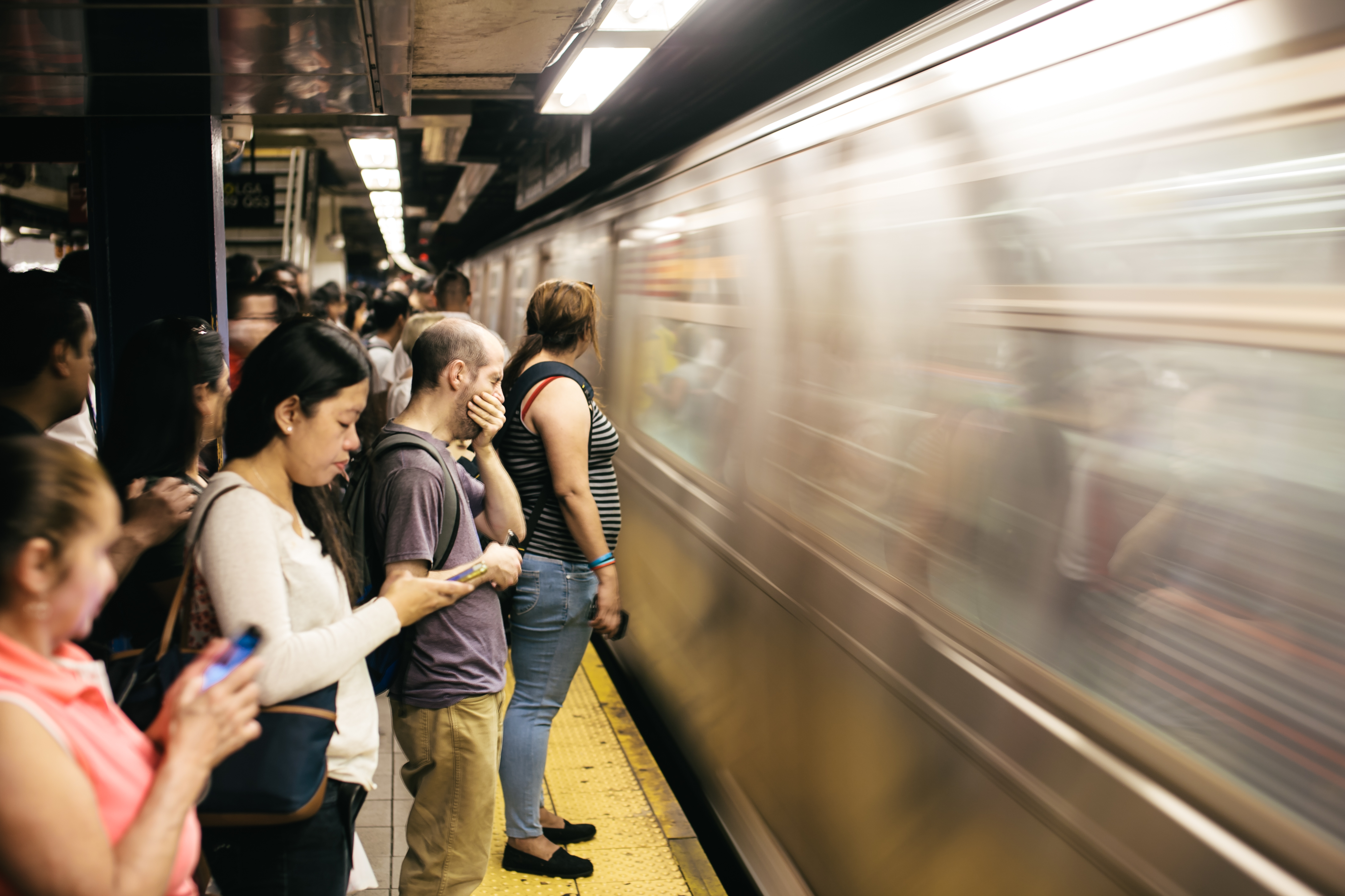
A rush hour (American English, British English) or peak hour (Australian English) is a part of the day during which traffic congestion on roads and crowding on public transport is at its highest. Normally, this happens twice every weekday: once in the morning and once in the afternoon or evening, the times during which the most people commute. The term is often used for a period of peak congestion that may last for more than one hour. The term is very broad, but often refers specifically to private automobile transportation traffic, even when there is a large volume of cars on a road but not many people, or if the volume is normal but there is some disruption of speed. By analogy to vehicular traffic, the term Internet rush hour has been used to describe periods of peak data network usage, resulting in delays and slower delivery of data packets. Definition The name is sometimes a misnomer, as the peak period often lasts more than one hour and the "rush" refers to the volume ... [...More Info...] [...Related Items...] OR: [Wikipedia] [Google] [Baidu] |
Malaysia Federal Route 2
The Federal Route 2 is a major east–west oriented federal highway in Malaysia. The road connects Port Klang in Selangor to Kuantan Port in Pahang. The Federal Route 2 became the backbone of the road system linking the east and west coasts of Peninsula Malaysia before being surpassed by the East Coast Expressway E8. Route background The Federal Route 2 is divided into two sections – Kuala Lumpur–Klang Highway (Malay: ''Jalan Kuala Lumpur–Klang'') and Kuala Lumpur–Kuantan Road (Malay: ''Jalan Kuala Lumpur–Kuantan''), where both sections are connected at Kuala Lumpur. The Kuala Lumpur–Klang Highway consists of Jalan Syed Putra, Federal Highway Route 2, Persiaran Sultan Ibrahim, Jalan Jambatan Kota (also concurrents with the Federal Route 5) and Persiaran Raja Muda Musa, where almost all sections of the Kuala Lumpur–Klang Highway are built as a divided highway except the short section from Port Klang Interchange to Port Klang jetty. The Kilometre Zero of the Federal ... [...More Info...] [...Related Items...] OR: [Wikipedia] [Google] [Baidu] |
Malaysia
Malaysia ( ; ) is a country in Southeast Asia. The federation, federal constitutional monarchy consists of States and federal territories of Malaysia, thirteen states and three federal territories, separated by the South China Sea into two regions: Peninsular Malaysia and Borneo's East Malaysia. Peninsular Malaysia shares a land and maritime Malaysia–Thailand border, border with Thailand and Maritime boundary, maritime borders with Singapore, Vietnam, and Indonesia. East Malaysia shares land and maritime borders with Brunei and Indonesia, and a maritime border with the Philippines and Vietnam. Kuala Lumpur is the national capital, the country's largest city, and the seat of the Parliament of Malaysia, legislative branch of the Government of Malaysia, federal government. The nearby Planned community#Planned capitals, planned capital of Putrajaya is the administrative capital, which represents the seat of both the Government of Malaysia#Executive, executive branch (the Cabine ... [...More Info...] [...Related Items...] OR: [Wikipedia] [Google] [Baidu] |
Selangor
Selangor (; ), also known by its Arabic language, Arabic honorific Darul Ehsan, or "Abode of Sincerity", is one of the 13 Malaysian states. It is on the west coast of Peninsular Malaysia and is bordered by Perak to the north, Pahang to the east, Negeri Sembilan to the south, and the Strait of Malacca to the west. Selangor surrounds the Wilayah Persekutuan, federal territories of Kuala Lumpur and Putrajaya, both of which were previously part of it. The state capital of Selangor is Shah Alam, and its royal capital is Klang (city), Klang, while Kajang is the largest city. Petaling Jaya and Subang Jaya received city status in 2006 and 2019, respectively. Selangor is one of four Malaysian states that contain more than one city with official city status; the others are Sarawak, Johor, and Penang. The state of Selangor has the List of Malaysian states by GDP, largest economy in Malaysia in terms of gross domestic product (GDP), with Malaysian ringgit, RM 239.968 billion (roughly $55.5 ... [...More Info...] [...Related Items...] OR: [Wikipedia] [Google] [Baidu] |
Subang Jaya
Subang Jaya is a city in Petaling District, Selangor, Malaysia. It comprises the southern third district of Petaling. It consists of the neighbourhoods from SS12 to SS19, UEP Subang Jaya (USJ), Putra Heights, Batu Tiga as well as PJS7, PJS9 and PJS11 of Bandar Sunway, the latter of which are partially jurisdictional within Petaling Jaya under the MBPJ. The city is governed by Subang Jaya City Council (MBSJ), which also governs other areas of the Petaling district, such as Puchong and Seri Kembangan. According to Subang Jaya City Council, Subang Jaya has a population of 642,100 in 2015, which makes it the sixth largest city in Malaysia by population. History Before 1974, what is today Subang Jaya was part of Klang District. Development on Subang Jaya began on 21 February 1976 and was concluded in 1988 by Sime UEP Properties Berhad, the property development arm of the Malaysian conglomerate Sime Darby. The site was formerly a rubber plantation called Seafield Estate under ... [...More Info...] [...Related Items...] OR: [Wikipedia] [Google] [Baidu] |


