|
Primrose, Ohio
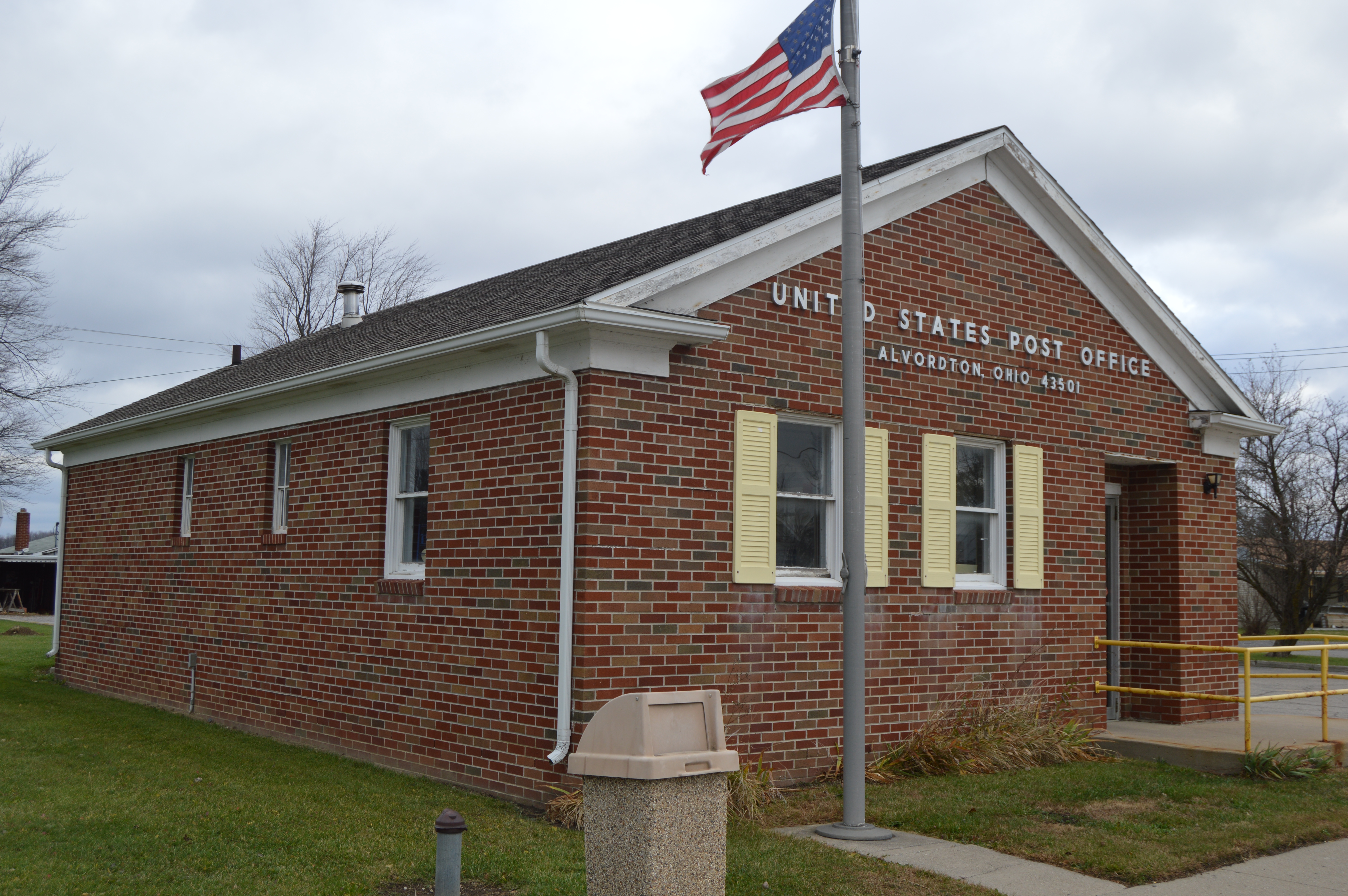
Primrose is an unincorporated community in Williams County, in the U.S. state of Ohio. History A post office called Primrose was established in 1854, and remained in operation until 1904. With the construction of the railroad, business activity shifted to nearby Alvordton, and the town's population dwindled. References Unincorporated communities in Williams County, Ohio Unincorporated communities in Ohio {{WilliamsCountyOH-geo-stub ... [...More Info...] [...Related Items...] OR: [Wikipedia] [Google] [Baidu] |
Unincorporated Community
An unincorporated area is a region that is not governed by a local municipal corporation. Widespread unincorporated communities and areas are a distinguishing feature of the United States and Canada. Most other countries of the world either have no unincorporated areas at all or these are very rare: typically remote, outlying, sparsely populated or uninhabited areas. By country Argentina In Argentina, the provinces of Chubut, Córdoba, Entre Ríos, Formosa, Neuquén, Río Negro, San Luis, Santa Cruz, Santiago del Estero, Tierra del Fuego, and Tucumán have areas that are outside any municipality or commune. Australia Unlike many other countries, Australia has only one level of local government immediately beneath state and territorial governments. A local government area (LGA) often contains several towns and even entire metropolitan areas. Thus, aside from very sparsely populated areas and a few other special cases, almost all of Australia is part of an LGA. Uninc ... [...More Info...] [...Related Items...] OR: [Wikipedia] [Google] [Baidu] |
Williams County, Ohio
Williams County is a county located in the U.S. state of Ohio. As of the 2020 census, the population was 37,102. Its county seat is Bryan. The county was created in 1820 and later organized in 1824. It is named for David Williams, one of the captors of John André in the American Revolutionary War. Geography According to the U.S. Census Bureau, the county has a total area of , of which is land and (0.5%) is water. Adjacent counties * Hillsdale County, Michigan (north) * Fulton County (east) * Henry County (southeast) * Defiance County (south) * DeKalb County, Indiana (southwest) * Steuben County, Indiana (northwest) Demographics 2000 census As of the census of 2000, there were 39,188 people, 15,105 households, and 10,664 families living in the county. The population density was 93 people per square mile (36/km2). There were 16,140 housing units at an average density of 38 per square mile (15/km2). The racial makeup of the county was 96.51% White, 0.72% Black or A ... [...More Info...] [...Related Items...] OR: [Wikipedia] [Google] [Baidu] |
Ohio
Ohio () is a state in the Midwestern region of the United States. Of the fifty U.S. states, it is the 34th-largest by area, and with a population of nearly 11.8 million, is the seventh-most populous and tenth-most densely populated. The state's capital and largest city is Columbus, with the Columbus metro area, Greater Cincinnati, and Greater Cleveland being the largest metropolitan areas. Ohio is bordered by Lake Erie to the north, Pennsylvania to the east, West Virginia to the southeast, Kentucky to the southwest, Indiana to the west, and Michigan to the northwest. Ohio is historically known as the "Buckeye State" after its Ohio buckeye trees, and Ohioans are also known as "Buckeyes". Its state flag is the only non-rectangular flag of all the U.S. states. Ohio takes its name from the Ohio River, which in turn originated from the Seneca word ''ohiːyo'', meaning "good river", "great river", or "large creek". The state arose from the lands west of the Appalachian Mountai ... [...More Info...] [...Related Items...] OR: [Wikipedia] [Google] [Baidu] |
Alvordton, Ohio
Alvordton is a census-designated place in central Mill Creek Township, Williams County, Ohio, United States. The population was 200 at the 2020 census. History Alvordton had its start when the railroad was extended to that point. Alvordton was platted in 1881 by Henry D. Alvord, and named for him. A post office has been in operation at Alvordton since 1881. The community incorporated as a village in 1891. Municipal status continued until 2007, when voters overwhelmingly approved a measure to disincorporate. In 2010, the U.S. Census Bureau listed Alvordton as a census-designated place. Geography Alvordton is located at (41.665177, -84.435265). According to the 2010 census, the CDP has a total area of , all land. Demographics As of the census of 2000, there were 305 people, 102 households, and 72 families residing in the village. The population density was . There were 115 housing units at an average density of . The racial makeup of the village was 94.43% White, 1.31% Afr ... [...More Info...] [...Related Items...] OR: [Wikipedia] [Google] [Baidu] |
Unincorporated Communities In Williams County, Ohio
Unincorporated may refer to: * Unincorporated area, land not governed by a local municipality * Unincorporated entity, a type of organization * Unincorporated territories of the United States, territories under U.S. jurisdiction, to which Congress has determined that only select parts of the U.S. Constitution apply * Unincorporated association, also known as voluntary association, groups organized to accomplish a purpose * ''Unincorporated'' (album), a 2001 album by Earl Harvin Trio {{disambig ... [...More Info...] [...Related Items...] OR: [Wikipedia] [Google] [Baidu] |


