|
Placide Vigneau
Placide Vigneau (29 August 1842 − 1 March 1926 was a French Canadian author. He was keeper of the Île aux Perroquets Lighthouse from 1892 to 1912. He kept a journal that is preserved by the Bibliothèque et Archives nationales du Québec. Life Placide Vigneau was born on Île du Havre aux Maisons, on the Magdalen Islands in Canada East on August 29, 1842. His parents were Vital Vigneau, an offshore fisherman of Acadian descent, and Élise Boudreau. He spent his childhood on the Magdalen Islands, where he learned the job of offshore fisherman. In 1858, the family moved to the village of Pointe-aux-Esquimaux (now Havre-Saint-Pierre) on the north shore of the Saint Lawrence River. In 1892 he became the lighthouse keeper of Île aux Perroquets until 1912, when his son Hector succeeded him. His ''Histoire'' or ''Journal de la Pointe aux Esquimaux'' was published in the Report of the Archives du Québec (1968), and then as a work under the title ''Un pied d'ancre : journal de P ... [...More Info...] [...Related Items...] OR: [Wikipedia] [Google] [Baidu] |
Magdalen Islands
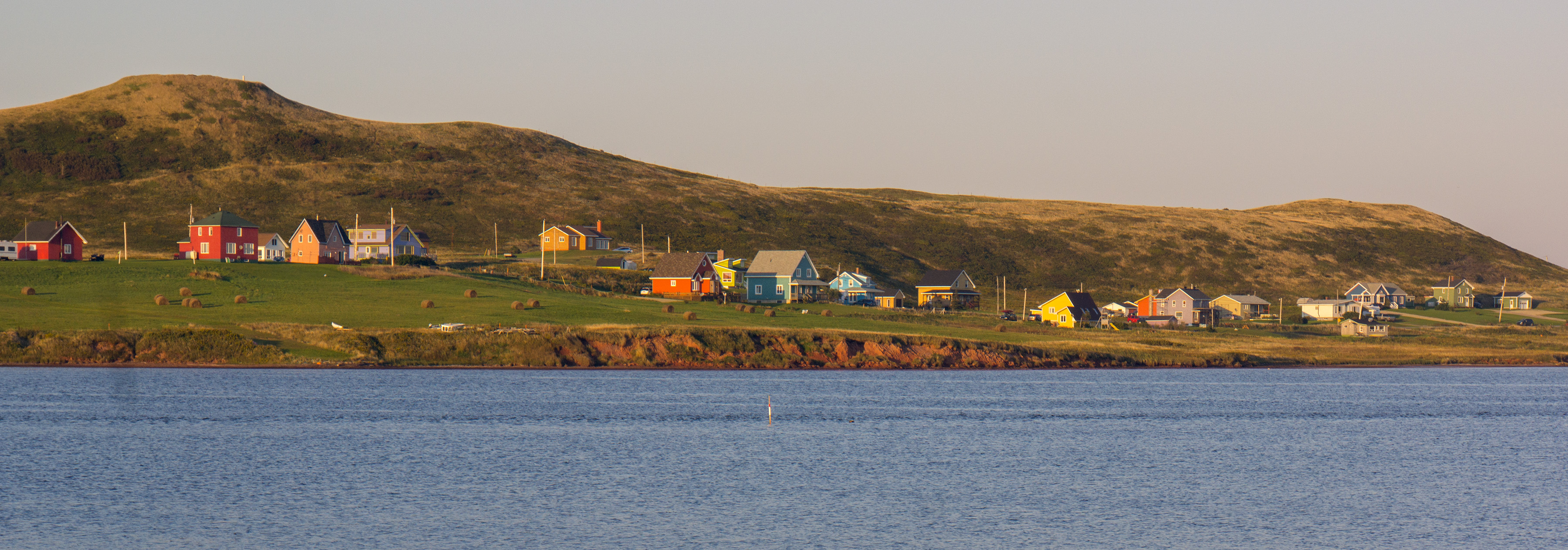
The Magdalen Islands (french: Îles de la Madeleine ) are a small archipelago in the Gulf of Saint Lawrence with a land area of . While part of the Province of Quebec, the islands are in fact closer to the Maritime provinces and Newfoundland than to the Gaspé Peninsula on the Quebec mainland. The islands are considered a part of the Mi'kma'ki, of the Mi'kmaw Nation, who call the islands Menagoesenog. Administratively, the islands are part of the Gaspésie–Îles-de-la-Madeleine region in the Canadian province of Quebec. The islands form the territory equivalent to a regional county municipality (TE) and the census division (CD) of Les Îles-de-la-Madeleine. Their geographical code is 01. The islands are also coextensive with the urban agglomeration of Les Îles-de-la-Madeleine, which is divided into two municipalities: Les Îles-de-la-Madeleine ( 2011 census pop. 12,291), the central municipality, and Grosse-Île (pop. 490). Their mayors are Gaétan Richard and Rose Elmond ... [...More Info...] [...Related Items...] OR: [Wikipedia] [Google] [Baidu] |
Canada East
Canada East (french: links=no, Canada-Est) was the northeastern portion of the United Province of Canada. Lord Durham's Report investigating the causes of the Upper and Lower Canada Rebellions recommended merging those two colonies. The new colony, known as the Province of Canada, was created by the Act of Union 1840 passed by the Parliament of the United Kingdom, having effect in 1841. For administrative purposes, the new Province was subdivided into Canada West and Canada East. The former name of "Lower Canada" came back into official use in 1849, and as of the Canadian Confederation of 1867 it formed the newly created province of Quebec. An estimated 890,000 people lived in Canada East in 1851. Geography It consisted of the southern portion of the modern-day Canadian province of Quebec. Formerly a British colony called the Province of Lower Canada, based on Lord Durham's report it was merged with the Province of Upper Canada (present-day southern portion of the Provin ... [...More Info...] [...Related Items...] OR: [Wikipedia] [Google] [Baidu] |
Havre-Saint-Pierre
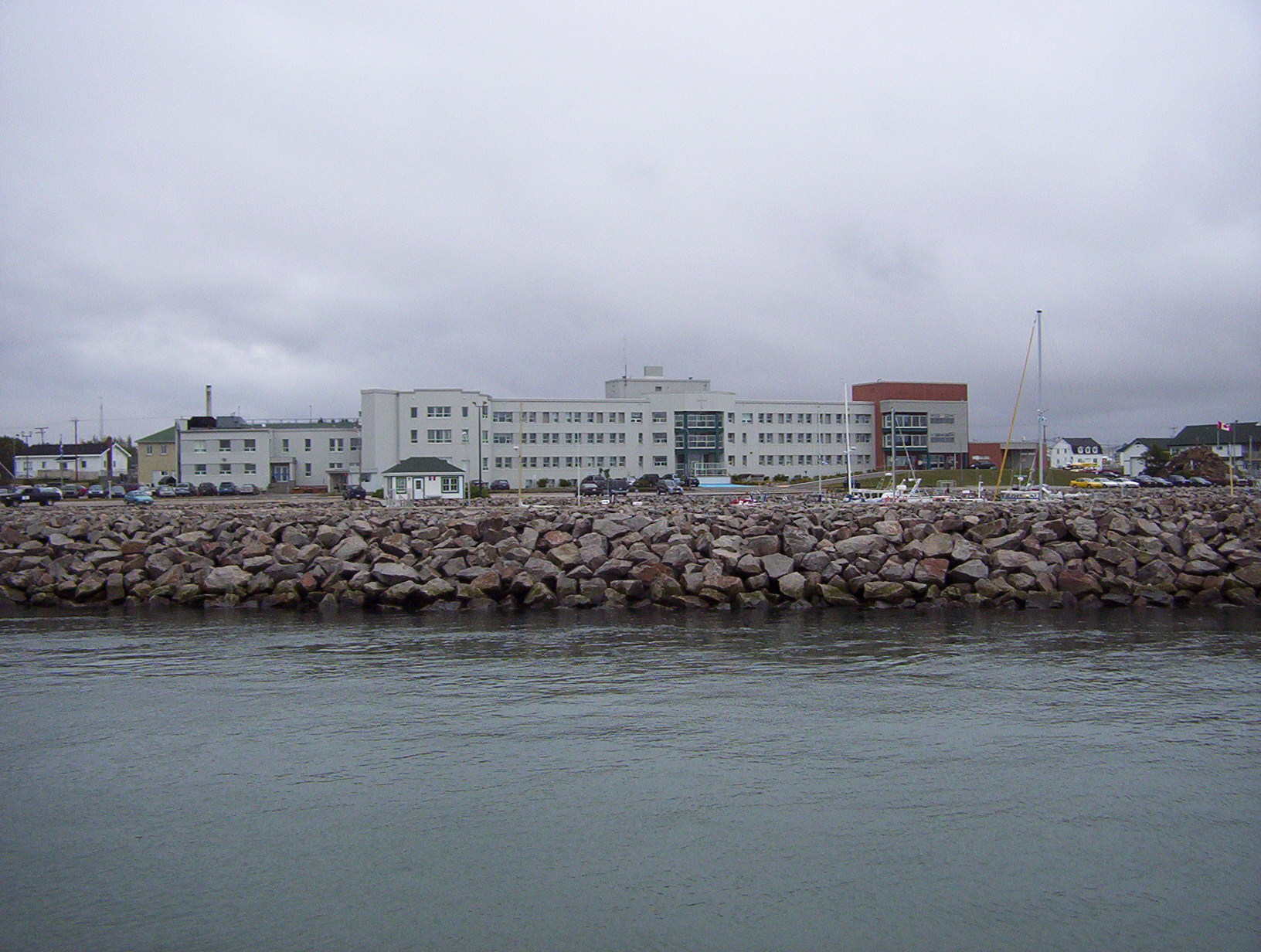
Havre-Saint-Pierre is a town on Pointe-aux-Esquimaux, which is on the Quebec north shore (Côte-Nord) of the Saint Lawrence River in Canada. Located along Route 138 some east of Sept-Îles, it is the largest town and seat of the Minganie RCM, and home to many government, municipal, and regional services. Historically, the town's first inhabitants came from the Magdalen Islands in the nineteenth century. As a result, the people of the town speak a dialect much more closely related to Acadian French than to Quebec French. Other important geological features near the town include the Romaine River to the north and west, les Chutes Manitou, on the Manitou River to the west, l'Ile du Havre, less than a kilometre offshore from the town, and Anticosti Island, which on clear days can be seen to the south of the town. History In 1857, a group of Acadian families from the Magdalen Islands, who had been deported from Savannah (Georgia, USA), settled on Eskimo Point (''Pointe aux Esqui ... [...More Info...] [...Related Items...] OR: [Wikipedia] [Google] [Baidu] |
French Canadian
French Canadians (referred to as Canadiens mainly before the twentieth century; french: Canadiens français, ; feminine form: , ), or Franco-Canadians (french: Franco-Canadiens), refers to either an ethnic group who trace their ancestry to French colonists who settled in Canada beginning in the 17th century or to French-speaking or Francophone Canadians of any ethnic origin. During the 17th century, French settlers originating mainly from the west and north of France settled Canada. It is from them that the French Canadian ethnicity was born. During the 17th to 18th centuries, French Canadians expanded across North America and colonized various regions, cities, and towns. As a result people of French Canadian descent can be found across North America. Between 1840 and 1930, many French Canadians immigrated to New England, an event known as the Grande Hémorragie. Etymology French Canadians get their name from ''Canada'', the most developed and densely populated region of Ne ... [...More Info...] [...Related Items...] OR: [Wikipedia] [Google] [Baidu] |
Île Aux Perroquets Lighthouse
The Île-aux-Perroquets lighthouse (french: Phare de l'Île-aux-Perroquets) is a lighthouse on the Île aux Perroquets in the Mingan Archipelago, Gulf of St. Lawrence, Quebec, Canada. It was built in 1951, replacing an 1888 wooden lighthouse. It received heritage designation in 2014. Location The Île aux Perroquets Lighthouse is on the Île aux Perroquets, an island at the western end of the Mingan Archipelago on the north shore of the Gulf of Saint Lawrence. It is in the Mingan Archipelago National Park Reserve, and the Longue-Pointe-de-Mingan municipality. In the Innu-aimun language the island is called ''Utshishtunishekau'', meaning nest-shaped rock. The French name means "parrot island", and refers to the Atlantic puffin, a bird with a brightly colored beak. The island is long and less than wide. It is a rocky plateau about above sea levels. It has steep cliffs, almost vertical on the east side but sloping more gently on the south side. Fauna include the Atlantic puffi ... [...More Info...] [...Related Items...] OR: [Wikipedia] [Google] [Baidu] |
Acadia
Acadia (french: link=no, Acadie) was a colony of New France in northeastern North America which included parts of what are now the Maritime provinces, the Gaspé Peninsula and Maine to the Kennebec River. During much of the 17th and early 18th centuries, Norridgewock on the Kennebec River and Castine at the end of the Penobscot River were the southernmost settlements of Acadia. The French government specified land bordering the Atlantic coast, roughly between the 40th and 46th parallels. It was eventually divided into British colonies. The population of Acadia included the various indigenous First Nations that comprised the Wabanaki Confederacy, the Acadian people and other French settlers. The first capital of Acadia was established in 1605 as Port-Royal. An English force from Virginia attacked and burned down the town in 1613, but it was later rebuilt nearby, where it remained the longest-serving capital of French Acadia until the British siege of Port Royal in 17 ... [...More Info...] [...Related Items...] OR: [Wikipedia] [Google] [Baidu] |
Saint Lawrence River
The St. Lawrence River (french: Fleuve Saint-Laurent, ) is a large river in the middle latitudes of North America. Its headwaters begin flowing from Lake Ontario in a (roughly) northeasterly direction, into the Gulf of St. Lawrence, connecting the American Great Lakes to the North Atlantic Ocean, and forming the primary drainage outflow of the Great Lakes Basin. The river traverses the Canadian provinces of Ontario and Quebec, as well as the U.S. state of New York, and demarcates part of the international boundary between Canada and the United States. It also provides the foundation for the commercial St. Lawrence Seaway. Names Originally known by a variety of names by local First Nations, the St. Lawrence became known in French as ''le fleuve Saint-Laurent'' (also spelled ''St-Laurent'') in 1604 by Samuel de Champlain. Opting for the ''grande riviere de sainct Laurens'' and ''fleuve sainct Laurens'' in his writings and on his maps, de Champlain supplanted previous Fre ... [...More Info...] [...Related Items...] OR: [Wikipedia] [Google] [Baidu] |
Côte-Nord
Côte-Nord (, ; ; land area ) is the second-largest administrative region by land area in Quebec, Canada, after Nord-du-Québec. It covers much of the northern shore of the Saint Lawrence River estuary and the Gulf of Saint Lawrence past Tadoussac. While most of the region is in the same time zone as the rest of Quebec, the far eastern portion east of the 63rd meridian, excluding the Minganie Regional County Municipality, is officially in the Atlantic Time Zone and does not observe daylight saving time. Population At the 2016 Canadian Census, the population amounted to 92,518, approximately 1.1% of the province's population, spread across 33 municipalities, various Indian reserves and a Naskapi reserved land. The towns of Baie-Comeau and Sept-Îles, Quebec, Sept-Îles combined amount to a little more than half of the population of the region. Geography and economy Côte-Nord was created as an administrative region in 1966. Important landmarks of Côte-Nord include Anticost ... [...More Info...] [...Related Items...] OR: [Wikipedia] [Google] [Baidu] |
1842 Births
__NOTOC__ Year 184 ( CLXXXIV) was a leap year starting on Wednesday (link will display the full calendar) of the Julian calendar. At the time, it was known as the Year of the Consulship of Eggius and Aelianus (or, less frequently, year 937 ''Ab urbe condita''). The denomination 184 for this year has been used since the early medieval period, when the Anno Domini calendar era became the prevalent method in Europe for naming years. Events By place China * The Yellow Turban Rebellion and Liang Province Rebellion break out in China. * The Disasters of the Partisan Prohibitions ends. * Zhang Jue leads the peasant revolt against Emperor Ling of Han of the Eastern Han Dynasty. Heading for the capital of Luoyang, his massive and undisciplined army (360,000 men), burns and destroys government offices and outposts. * June – Ling of Han places his brother-in-law, He Jin, in command of the imperial army and sends them to attack the Yellow Turban rebels. * Winter – Zha ... [...More Info...] [...Related Items...] OR: [Wikipedia] [Google] [Baidu] |
1926 Deaths
Nineteen or 19 may refer to: * 19 (number), the natural number following 18 and preceding 20 * one of the years 19 BC, AD 19, 1919, 2019 Films * ''19'' (film), a 2001 Japanese film * ''Nineteen'' (film), a 1987 science fiction film Music * 19 (band), a Japanese pop music duo Albums * ''19'' (Adele album), 2008 * ''19'', a 2003 album by Alsou * ''19'', a 2006 album by Evan Yo * ''19'', a 2018 album by MHD * ''19'', one half of the double album ''63/19'' by Kool A.D. * ''Number Nineteen'', a 1971 album by American jazz pianist Mal Waldron * ''XIX'' (EP), a 2019 EP by 1the9 Songs * "19" (song), a 1985 song by British musician Paul Hardcastle. * "Nineteen", a song by Bad4Good from the 1992 album '' Refugee'' * "Nineteen", a song by Karma to Burn from the 2001 album ''Almost Heathen''. * "Nineteen" (song), a 2007 song by American singer Billy Ray Cyrus. * "Nineteen", a song by Tegan and Sara from the 2007 album '' The Con''. * "XIX" (song), a 2014 song by Slipkn ... [...More Info...] [...Related Items...] OR: [Wikipedia] [Google] [Baidu] |


