|
Pirpiai
Pir-piai or Pirpiai is a town in the District of Nowshera in Khyber-Pakhtunkhwa, Pakistan. Its population is around 35,000. Pirpiai has a high literacy rate of 92%, compared with Pakistan's average literacy rate of 55%. The village is on GT Road, 8 km from Nowshera Cantonment towards Peshawar. Most of the villagers are working-folk, adding to the work-pool through government service, and self-employment. Substantial number of people from the village are working abroad and adding to national exchequer. The village is rich in producing educated and professional class like engineers, doctors, officers of armed forces, civil servants, professors and so on. History Pirpiai is said to have been named after Pir Muhammad Khan of Pirpiai. Pir muhammad khan an Afghan who migrated from Afghanistan and settled in the area. History says that Pir Muhammad Khan was the son of Daulat Khan. Daulat Khan was a commander and confidant of Nadir Shah Afshar, the ruler of Iran. Nadir Shah Afsh ... [...More Info...] [...Related Items...] OR: [Wikipedia] [Google] [Baidu] |
Zmaryani
Zimri Tribe is also called Zimri or Mizri, is a Pashtun tribe in Balochistan and Khyber Pakhtunkhwa, Pakistan.Zmaryani ژمرياني. Khyber.ORG. Some Zimri live's in . The name ''Zimri'' or ''Zmarai'' means "fierce tiger" in the Pashto language. The history shows that one day at the place located in Musakhail city between the Sherani and Isot, the father of Zimri had a fight with tigers in the mountains. After being victorious, the father of Musakhail gave him the honour ''Zmarai'' (lion), which means "lion" in Pashto. Zimri, Mizri, the same nation named changed due to the languages of different areas. Rough estimates show their population to be more ... [...More Info...] [...Related Items...] OR: [Wikipedia] [Google] [Baidu] |
Union Councils Of Pakistan
The union councils of Pakistan ( ur, ), referred to as village councils in villages, are an elected local government body consisting of 21 councillors, and headed by a Nazim which is equivalent to a mayor or chairperson and a Naib Nazib (vice chairperson). As of 2007, there are 5,375 rural union councils across 115 districts. They form the third-tier of local government and fifth tier overall. Its structure and responsibilities differ between provinces and territories. Administration Union councils are the primary governmental institution in Pakistan, Union Councils are often known as "Village Councils" in rural areas,the territory represented by a Village Council usually comprises a large village and surrounding areas, often including nearby small villages. The term Union Council may be used for localities that are part of cities. The territory of a Union Council or Village Council is usually part of a Tehsil (county). Less commonly, a Union Council may be part of a City Distr ... [...More Info...] [...Related Items...] OR: [Wikipedia] [Google] [Baidu] |
Ghazni
Ghazni ( prs, غزنی, ps, غزني), historically known as Ghaznain () or Ghazna (), also transliterated as Ghuznee, and anciently known as Alexandria in Opiana ( gr, Αλεξάνδρεια Ωπιανή), is a city in southeastern Afghanistan with a population of around 190,000 people. The city is strategically located along Highway 1, which has served as the main road between Kabul and Kandahar for thousands of years. Situated on a plateau at 2,219 metres (7,280 ft) above sea level, the city is south of Kabul and is the capital of Ghazni Province. Ghazni Citadel, the Minarets of Ghazni, the Palace of Sultan Mas'ud III, and several other cultural heritage sites have brought travelers and archeologists to the city for centuries. During the pre-Islamic period, the area was inhabited by various tribes who practiced different religions including Zoroastrianism, Buddhism and Hinduism. Arab Muslims introduced Islam to Ghazni in the 7th century and were followed in the 9th ... [...More Info...] [...Related Items...] OR: [Wikipedia] [Google] [Baidu] |
George Roos-Keppel
Sir George Olaf Roos-Keppel, (7 September 1866 – 11 December 1921) was a British military officer who served in the capacities of Political Agent to the Governor-General in Kurram and Khyber, and later as Chief Commissioner, North West Frontier Province from 1908 till 1919. He is also known for his role in 3rd Afghan War. Life Roos was born in the Park Lane area of London, the son of Gustaf Ehrenreich Roos, a Swedish merchant in England, and his wife, Elizabeth Annie Roffey, daughter of George Roffey of Twickenham. He changed his surname in 1890, to Roos-Keppel, at the request of his Dutch-Swedish grandmother. He was educated at United Services College, Westward Ho!, abroad, and at the Royal Military College, Sandhurst. George Roos was commissioned a lieutenant in the Royal Scots Fusiliers on 25 August 1886, and was promoted to captain on 1 September 1895. He transferred to the Indian Staff Corps on 19 September 1897. He was Political Officer in the Khyber when in March 1 ... [...More Info...] [...Related Items...] OR: [Wikipedia] [Google] [Baidu] |
Douglas Gracey
General Sir Douglas David Gracey & Bar (3 September 1894 – 5 June 1964) was a British Indian Army officer who fought in both the First and Second World Wars. He also fought in French Indochina and was the second Commander-in-Chief of the Pakistan Army. Gracey held this latter office from 11 February 1948 until his retirement on 16 January 1951. Born to English parents living in India, he was educated in English schools before returning to India to serve in the military there. Early life and military career Educated at Blundell's School and the Royal Military College, Sandhurst, Gracey was commissioned onto the Unattached List, Indian Army on 15 August 1914 as a second lieutenant. By early 1915 he had been attached to the 5th Extra Reserve Battalion, Royal Munster Fusiliers. He served in France from 11 January to 2 May 1915 when he was wounded.War services of British and Indian officers of the Indian Army 1941, page 227 In September 1915 he was appointed from the unattached ... [...More Info...] [...Related Items...] OR: [Wikipedia] [Google] [Baidu] |
Mohallah
is an Arabic word variously translated as district, quarter, ward, or "neighborhood" in many parts of the Arab world, the Balkans, Western Asia, the Indian subcontinent, and nearby nations. History Historically, mahallas were autonomous social institutions built around familial ties and Islamic rituals. Today it is popularly recognised also by non-Muslims as a neighbourhood in large cities and towns. Mahallas lie at the intersection of private family life and the public sphere. Important community-level management functions are performed through mahalle solidarity, such as religious ceremonies, life-cycle rituals, resource management and conflict resolution. It is an official administrative unit in many Middle Eastern countries. The word was brought to the Balkans through Ottoman Turkish ''mahalle'', but it originates in Arabic محلة (''mähallä''), from the root meaning "to settle", "to occupy". In September 2017, a Turkish-based association referred to the historical mahalle ... [...More Info...] [...Related Items...] OR: [Wikipedia] [Google] [Baidu] |
Miscellany
A miscellany is a collection of various pieces of writing by different authors. Meaning a mixture, medley, or assortment, a miscellany can include pieces on many subjects and in a variety of different forms. In contrast to anthologies, whose aim is to give a ''selective'' and ''canonical'' view of literature, miscellanies were produced for the entertainment of a contemporary audience and so instead emphasise ''collectiveness'' and ''popularity''. Laura Mandell and Rita Raley state: Manuscript miscellanies are important in the Middle Ages, and are the sources for most surviving shorter medieval vernacular poetry. Medieval miscellanies often include completely different types of text, mixing poetry with legal documents, recipes, music, medical and devotional literature and other types of text, and in medieval contexts a mixture of types of text is often taken as a necessary condition for describing a manuscript as a miscellany. They may have been written as a collection, or repr ... [...More Info...] [...Related Items...] OR: [Wikipedia] [Google] [Baidu] |
Mughals
The Mughal Empire was an early-modern empire that controlled much of South Asia between the 16th and 19th centuries. Quote: "Although the first two Timurid emperors and many of their noblemen were recent migrants to the subcontinent, the dynasty and the empire itself became indisputably Indian. The interests and futures of all concerned were in India, not in ancestral homelands in the Middle East or Central Asia. Furthermore, the Mughal empire emerged from the Indian historical experience. It was the end product of a millennium of Muslim conquest, colonization, and state-building in the Indian subcontinent." For some two hundred years, the empire stretched from the outer fringes of the Indus River, Indus river basin in the west, northern Afghanistan in the northwest, and Kashmir in the north, to the highlands of present-day Assam and Bangladesh in the east, and the uplands of the Deccan Plateau in South India. Quote: "The realm so defined and governed was a vast territory of ... [...More Info...] [...Related Items...] OR: [Wikipedia] [Google] [Baidu] |
Grand Trunk Road
The Grand Trunk Road (formerly known as Uttarapath, Sarak-e-Azam, Shah Rah-e-Azam, Badshahi Sarak, and Long Walk) is one of Asia's oldest and longest major roads. For at least 2,500 years it has linked Central Asia to the Indian subcontinent. It runs roughly from Teknaf, Bangladesh on the border with Myanmar west to Kabul, Afghanistan, passing through Chittagong and Dhaka in Bangladesh, Kolkata, Prayagraj, Delhi, and Amritsar in India, and Lahore, Rawalpindi, and Peshawar in Pakistan. Chandragupta Maurya, the founder of the ancient Indian Maurya Empire, built this highway along an ancient route called Uttarapatha in the 3rd century BCE, extending it from the mouth of the Ganges to the north-western frontier of the Empire. Further improvements to this road were made under Ashoka.Romila Thapar, p. 236Early India: From the Origins to AD 1300/ref> The old route was re-aligned by Sher Shah Suri to Sonargaon and Rohtas.Vadime Elisseeff, p. 159-162The Silk Roads: Highways of C ... [...More Info...] [...Related Items...] OR: [Wikipedia] [Google] [Baidu] |
Sher Shah Suri
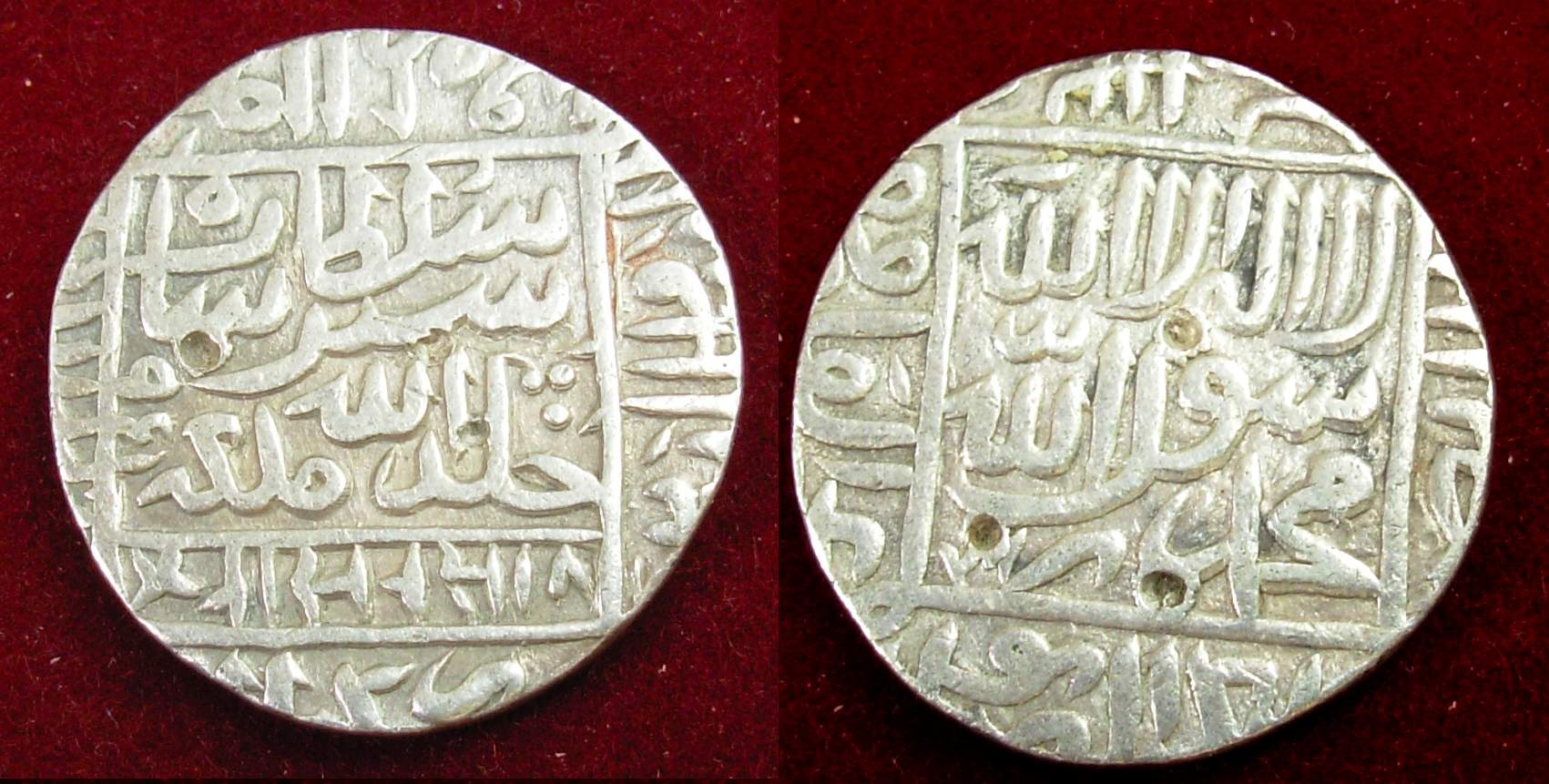
Sher Shah Suri ( ps, شیرشاه سوری) (1472, or 1486 – 22 May 1545), born Farīd Khān ( ps, فرید خان) , was the founder of the Sur Empire in India, with its capital in Sasaram in modern-day Bihar. He standardized the silver coin to the weight of 178 grams and named the currency as rupee based on the ancient Sanskrit term for silver. An ethnic Pashtun ruler, Sher Shah took control of the Mughal Empire in 1540 CE. After his accidental death in 1545 CE, his son Islam Shah became his successor. He first served as a private before rising to become a commander in the Mughal army under Babur and then the governor of Bihar. In 1537, when Babur's son Humayun was elsewhere on an expedition, Sher Shah overran the state of Bengal and established the Suri dynasty. A brilliant strategist, Sher Shah proved himself as a gifted administrator as well as a capable general. His reorganization of the empire laid the foundations for the later Mughal emperors, notably Akbar, son of Hu ... [...More Info...] [...Related Items...] OR: [Wikipedia] [Google] [Baidu] |
Kasi (Pashtun Tribe)
Kasi or Kassi ( ps, کاسي) is a Pashtun tribe from the Sarbani tribal confederacy, primarily found in Quetta, Pakistan and Nangarhar, Afghanistan. Other sub tribes such as Sherani, Kehthran and Hassani in Zhob and Barkan also belong to the Kasi Family and Kasi Tribe on name of Kand and Zamand are also found in Loy Kandahar. Dawn newspaper, Published 22 October 2004, Retrieved 7 January 2023 See also *Loy Kandahar
Lōy Kandahār ( ps, لوی کندهار, lit. "Greater Kandahar") is a historical and cultural region of Afghanistan, comprising the modern Afghanistan provinces of Ka ...
[...More Info...] [...Related Items...] OR: [Wikipedia] [Google] [Baidu] |
Herat
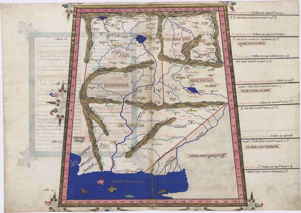
Herāt (; Persian: ) is an oasis city and the third-largest city of Afghanistan. In 2020, it had an estimated population of 574,276, and serves as the capital of Herat Province, situated south of the Paropamisus Mountains (''Selseleh-ye Safēd Kōh'') in the fertile valley of the Hari River in the western part of the country. An ancient civilization on the Silk Road between the Middle East, Central and South Asia, it serves as a regional hub in the country's west. Herat dates back to Avestan times and was traditionally known for its wine. The city has a number of historic sites, including the Herat Citadel and the Musalla Complex. During the Middle Ages Herat became one of the important cities of Khorasan, as it was known as the ''Pearl of Khorasan''. After the conquest of Tamerlane, the city became an important center of intellectual and artistic life in the Islamic world. Under the rule of Shah Rukh the city served as the focal point of the Timurid Renaissance, whose glor ... [...More Info...] [...Related Items...] OR: [Wikipedia] [Google] [Baidu] |


_hilight_19_44.png)

