|
Phetchabun Province
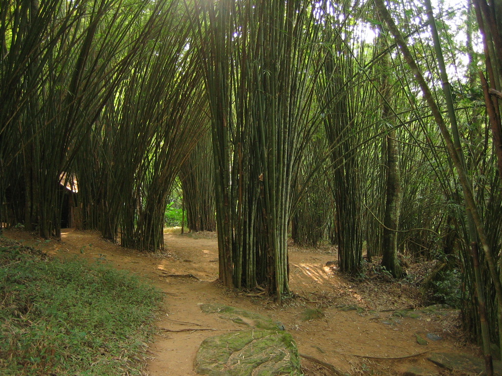
Phetchabun ( th, เพชรบูรณ์, ) is one of Thailand's seventy-six provinces (''changwat'') lies in lower northern Thailand. Neighbouring provinces are (from north clockwise) Loei, Khon Kaen, Chaiyaphum, Lopburi, Nakhon Sawan, Phichit and Phitsanulok. Geography and climate Phetchabun is in the lower northern region of Thailand, in the area between the northern and the central region. The province lies in the broad fertile river valley of the Pa Sak River, with mountains of the Phetchabun mountain range to the east and west. The total forest area is or 32.5 percent of provincial area. National parks There are a total of four national parks, along with six other national parks, make up region 11 (Phitsanulok) of Thailand's protected areas. * Thung Salaeng Luang National Park, * Nam Nao National Park, * Khao Kho National Park, * Tat Mok National Park, Wildlife sanctuaries There are three wildlife sanctuaries, ofwhich two are in region 11 (Phitsanulok) and P ... [...More Info...] [...Related Items...] OR: [Wikipedia] [Google] [Baidu] |
Provinces Of Thailand
The provinces of Thailand are part of the government of Thailand that is divided into 76 provinces ( th, จังหวัด, , ) proper and one special administrative area ( th, เขตปกครองส่วนท้องถิ่นรูปแบบพิเศษ), representing the capital Bangkok. They are the primary local government units and act as juristic persons. They are divided into amphoe (districts) which are further divided into tambon (sub districts), the next lower level of local government. Each province is led by a governor (ผู้ว่าราชการจังหวัด ''phu wa ratchakan changwat''), who is appointed by the central government. The provinces and administrative areas * The total population of Thailand is 66,558,935 on 31 December 2019. * The total land area of Thailand is 517,646 km2 in 2013. * HS – Harmonized Commodity Description and Coding System. * FIPS code is replaced on 31 December 2014 with ISO 3166. ... [...More Info...] [...Related Items...] OR: [Wikipedia] [Google] [Baidu] |
Pa Sak River
The Pa Sak River ( th, แม่น้ำป่าสัก, , Pronunciation is a river in central Thailand. The river originates in the Phetchabun Mountains, Dan Sai District, Loei Province, and passes through Phetchabun Province as the backbone of the province. It then passes through the eastern part of Lopburi Province and Saraburi Province, until it joins the Lopburi River northeast of Ayutthaya Island, before it runs into the Chao Phraya River southeast of Ayutthaya near Phet Fortress. It has a length of and drains a watershed of . The annual discharge is . The valley of the Pa Sak through the Phetchabun mountains is a dominant feature of Phetchabun Province. Water levels vary seasonally. To address drought problems in the lower Pa Sak valley, in 1994 the construction of the Pa Sak Cholasit Dam (เขื่อนป่าสักชลสิทธิ์) in Lopburi Province was built. The wide and high dam retains of water. The dam also supplies about 6.7 MW of ele ... [...More Info...] [...Related Items...] OR: [Wikipedia] [Google] [Baidu] |
Indra
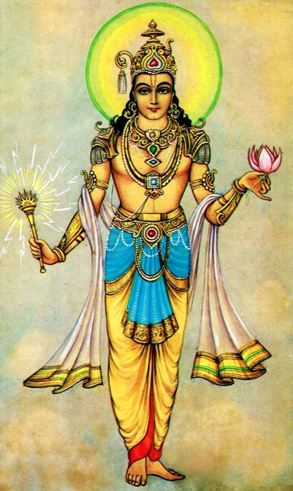
Indra (; Sanskrit: इन्द्र) is the king of the devas (god-like deities) and Svarga (heaven) in Hindu mythology. He is associated with the sky, lightning, weather, thunder, storms, rains, river flows, and war. volumes/ref> Indra's myths and powers are similar to other Indo-European deities such as Jupiter, Perun, Perkūnas, Zalmoxis, Taranis, Zeus, and Thor, part of the greater Proto-Indo-European mythology. Indra is the most referred deity in the ''Rigveda''. He is celebrated for his powers, and as the one who killed the great evil (a malevolent type of asura) named Vritra, who obstructed human prosperity and happiness. Indra destroys Vritra and his "deceiving forces", and thereby brings rains and sunshine as the saviour of mankind. He is also an important deity worshipped by the Kalash people, indicating his prominence in ancient Hinduism. Indra's significance diminishes in the post-Vedic Indian literature, but he still plays an important role in various m ... [...More Info...] [...Related Items...] OR: [Wikipedia] [Google] [Baidu] |
Diamond
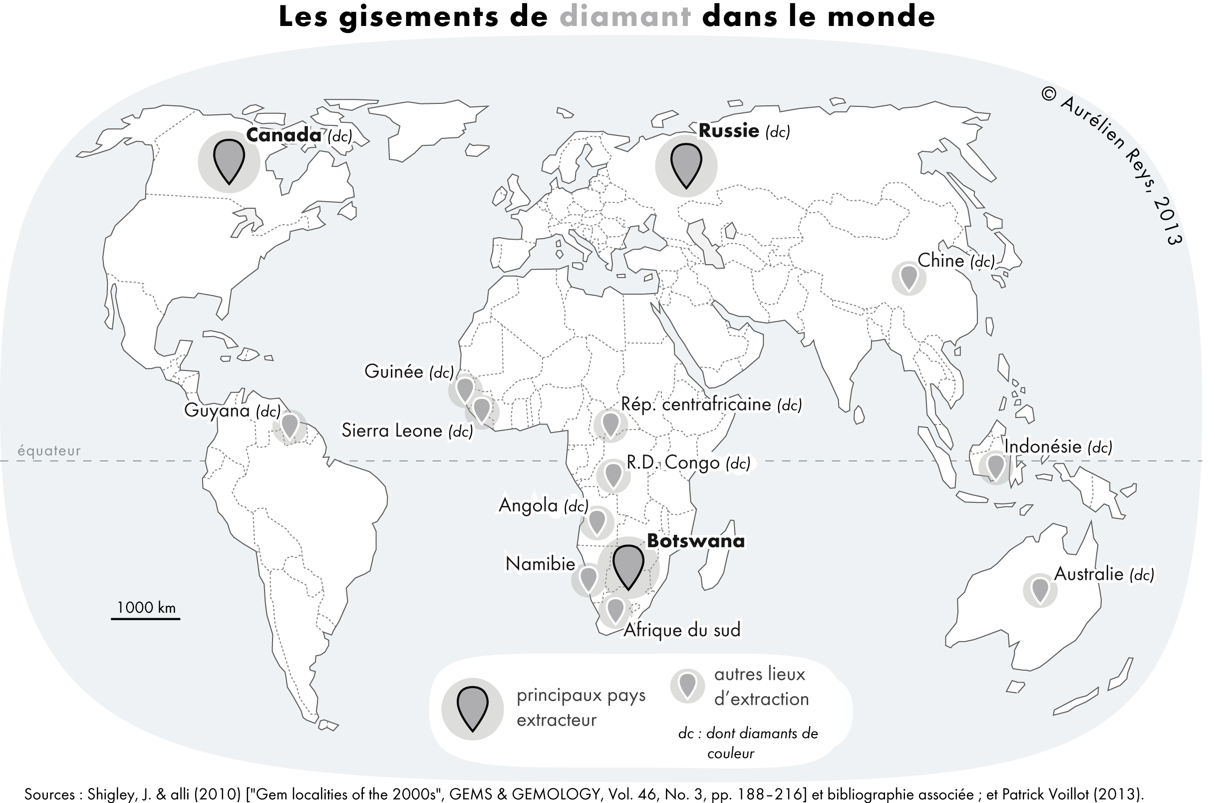
Diamond is a Allotropes of carbon, solid form of the element carbon with its atoms arranged in a crystal structure called diamond cubic. Another solid form of carbon known as graphite is the Chemical stability, chemically stable form of carbon at Standard conditions for temperature and pressure, room temperature and pressure, but diamond is metastable and converts to it at a negligible rate under those conditions. Diamond has the highest Scratch hardness, hardness and thermal conductivity of any natural material, properties that are used in major industrial applications such as cutting and polishing tools. They are also the reason that diamond anvil cells can subject materials to pressures found deep in the Earth. Because the arrangement of atoms in diamond is extremely rigid, few types of impurity can contaminate it (two exceptions are boron and nitrogen). Small numbers of lattice defect, defects or impurities (about one per million of lattice atoms) color diamond blue (bor ... [...More Info...] [...Related Items...] OR: [Wikipedia] [Google] [Baidu] |
Vajra
The Vajra () is a legendary and ritual weapon, symbolising the properties of a diamond (indestructibility) and a thunderbolt (irresistible force). The vajra is a type of club with a ribbed spherical head. The ribs may meet in a ball-shaped top, or they may be separate and end in sharp points with which to stab. The vajra is the weapon of Indra, the Vedic king of the devas and heaven. It is used symbolically by the dharmic traditions of Hinduism, Buddhism, and Jainism, often to represent firmness of spirit and spiritual power. According to Hinduism, the vajra is considered one of the most powerful weapons in the universe. The use of the vajra as a symbolic and ritual tool spread from Hinduism to other religions in India and other parts of Asia. Etymology According to Asko Parpola, the Sanskrit () and Avestan both refer to a weapon of the Godhead, and are possibly from the Proto-Indo-European root ''*weg'-'' which means "to be(come) powerful". It is related to Proto- ... [...More Info...] [...Related Items...] OR: [Wikipedia] [Google] [Baidu] |
Sanskrit
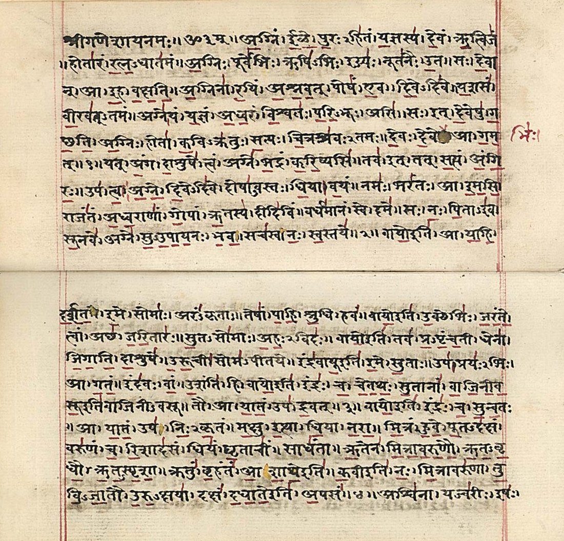
Sanskrit (; attributively , ; nominally , , ) is a classical language belonging to the Indo-Aryan branch of the Indo-European languages. It arose in South Asia after its predecessor languages had diffused there from the northwest in the late Bronze Age. Sanskrit is the sacred language of Hinduism, the language of classical Hindu philosophy, and of historical texts of Buddhism and Jainism. It was a link language in ancient and medieval South Asia, and upon transmission of Hindu and Buddhist culture to Southeast Asia, East Asia and Central Asia in the early medieval era, it became a language of religion and high culture, and of the political elites in some of these regions. As a result, Sanskrit had a lasting impact on the languages of South Asia, Southeast Asia and East Asia, especially in their formal and learned vocabularies. Sanskrit generally connotes several Old Indo-Aryan language varieties. The most archaic of these is the Vedic Sanskrit found in the Rig Veda, a colle ... [...More Info...] [...Related Items...] OR: [Wikipedia] [Google] [Baidu] |
Phu Pha Daeng Wildlife Sanctuary
Phu Pha Daeng Wildlife Sanctuary ( th, เขตรักษาพันธุ์สัตว์ป่าภูผาแดง;) is a Wildlife sanctuary (Thailand), wildlife sanctuary in Lom Sak District of Thailand's Phetchabun Province. The sanctuary covers an area of and was established in 1999. Geography Phu Pha Daeng Wildlife Sanctuary is located about northeast of Phetchabun town in Ban Klang, Ban Tio, Chang Talut, Huai Rai, Pak Chong and Thai Ibun subdistricts of Lom Sak District of Phetchabun Province. The sanctuary's area is and is abutting Nam Nao National Park to the north and east and Tat Mok National Park to the south. Landscape is largely covered by forests and in the west by mountains, the altitude varies from to . This part of the Phetchabun Mountains has several small streams, which are tributaries of the Pa Sak River. Topography Landscape is mostly covered by forested mountains, such as Phu Luak, Khao Khok Dein Thasi, Khao Khun Nam Phai and Khao Wang Han. Th ... [...More Info...] [...Related Items...] OR: [Wikipedia] [Google] [Baidu] |
Tabo–Huai Yai Wildlife Sanctuary
Tabo–Huai Yai Wildlife Sanctuary ( th, เขตรักษาพันธุ์สัตว์ป่าตะเบาะ-ห้วยใหญ่;) is a wildlife sanctuary in Bueng Sam Phan, Nong Phai, Mueang Phetchabun districts of Phetchabun Province and Nong Bua Daeng, Phakdi Chumphon districts of Chaiyaphum Province of Thailand. The sanctuary covers an area of and was established in 1997. Geography Tabo–Huai Yai Wildlife Sanctuary is located about southeast of Phetchabun town in Sa Kaeo Subdistrict, Bueng Sam Phan District and Bo Thai, Tha Duang subdistricts, Nong Phai District and Na Yom, Tabo subdistricts, Mueang Phetchabun District of Phetchabun Province and Nang Daet, Tham Wua Daeng, Wang Chomphu subdistricts, Nong Bua Daeng District and Ban Chiang, Chao Thong, Laem Thong, Wang Thong subdistricts, Phakdi Chumphon District of Chaiyaphum Province. The sanctuary's area is and is abutting Tat Mok National Park to the north, connected with Phu Khiao Wildlife Sanc ... [...More Info...] [...Related Items...] OR: [Wikipedia] [Google] [Baidu] |
Phu Luang Wildlife Sanctuary
Phu Luang Wildlife Sanctuary ( th, เขตรักษาพันธุ์สัตว์ป่าภูหลวง) is a wildlife sanctuary in northern Thailand, located in the Phu Luang mountain area, in the south of Loei Province. The area around the mountain is part of the Luang Prabang montane rain forests ecoregion. It covers an area of 897 km², covering area of the ''tambon'' Pla Ba and Tha Sala of Phu Ruea District, Phon Sung, Wang Yao and I Pum of Dan Sai, Nong Ngio and Saikhao of Wang Saphung, and Phu Ho of Phu Luang District. History The wildlife reserve was established in 1974. In 1985 it was further enlarged by 97 km². The reserve is named after its highest mountain, which peaks at 1,571 m. The reserve covers the whole mountain plateau around the peak, which has an elevation of around 1,200 m. To west of the reserve the Loei River originates. "Phu Luang" means "large mountain" or the "mountain of the king", formed by an uplift of the earth's crust ... [...More Info...] [...Related Items...] OR: [Wikipedia] [Google] [Baidu] |
Tat Mok National Park
Tat Mok National Park ( th, อุทยานแห่งชาติตาดหมอก, ) is a national park in Phetchabun Province, Thailand. Established on 30 October 1998, it is the 87th national park in Thailand. Both park and the waterfall are named after Tat Mok Mountains. Geography Tat Mok National Park is about east of Phetchabun in Mueang District. The park's area covers 181,250 rai ~ . The national park is abutting Phu Pha Daeng Wildlife Sanctuary and connected by Nam Nao National Park to the north, abutting Phu Khiao Wildlife Sanctuary to the east and abutting Tabo-Huai Yai Wildlife Sanctuary to the south. The park's streams and waterfalls provide the main source for the Pa Sak and Chi Rivers. History In mid-1991 a survey was set up, a beautiful waterfall was found suitable for renovation into a tourist attraction. Later in 1995, the Royal Forest Department requested additional information so that the Tabo forest and Huai Yai forest area could become a nation ... [...More Info...] [...Related Items...] OR: [Wikipedia] [Google] [Baidu] |
Khao Kho National Park
The Khao Kho National park ( th, อุทยานแห่งชาดิเขาค้อ, ) is located in Lom Kao, Lom Sak, Khao Kho and Mueang Phetchabun districts in Thailand's Phetchabun province. The national park covers an area of and was established in 2012. Topography Landscape is mostly covered by mountains and forests, the height ranged from to , Khao Kha the highest point in the park. The national park is named after Khao Kho, a mesa high . This part of the Phetchabun mountain range is the origin of the main tributaries of the Pa Sak, Yom and Nan rivers. Climate Weather measurement station at the Khao Kho National park collects data of temperature, relative humidity and rainfall since June 1999. The park is generally cool all year round, with rainy season around mid-May to October. Rainfall is approximately /year, with rainfall for 126 days a year. Winter is around November to mid-February. Summer is around mid-February to mid-May. History From 1968 to 1 ... [...More Info...] [...Related Items...] OR: [Wikipedia] [Google] [Baidu] |
Nam Nao National Park
Nam Nao National Park ( th, อุทยานแห่งชาติน้ำหนาว, ) is a protected area in Phetchabun Province in northern Thailand. The park is a large forest filled with pineries, grasslands, and jungle. The park is home to approximately 360 species of birds and 340 species of butterflies. The average annual temperature is 25 degrees Celsius (77°F). Between December and January temperatures drop to as low as 2-5 degrees Celsius (36-41°F). Nam Nao National Park is part of a Level I "tiger conservation unit" (TCU). It encompasses . Geography Nam Nao National Park with an area of 603,750 rai ~ is located in Lom Sak, Mueang Phetchabun and Nam Nao districts of Phetchabun province and Khon San district of Chaiyapum province. Most of the park consists of mountains covered with deciduous dipterocarp forest, hill evergreen forest, mixed deciduous forest, moist evergreen forest, pine forest and grasslands. High mountains in the Phetchabun Mountains in ... [...More Info...] [...Related Items...] OR: [Wikipedia] [Google] [Baidu] |

.jpg)
