|
Petworth Canal
The Petworth Canal was one of Britain's shorter lasting canals, opened in 1795 and dismantled in 1826. Upon completion of the Rother Navigation, the Earl of Egremont used his estate workforce to build the 1¼ mile long canal from just upstream of the Shopham Cut to Haslingbourne, with two locks, each with a rise of 8 feet and 6 inches. The Haslingbourne Stream was diverted to provide the water supply, and still flows in the canal bed from Haslingbourne to the site of Haines Lock. The initial intention was to extend the canal through the Shimmings Valley to Hamper's Green on the north side of Petworth, then northwards to join the Wey Navigation at Shalford. Legal authority Construction of the branch to Haslingbourne bridge was included in the Act of Parliament, numbered 151passed in 1791, titled; "An Act to enable the Earl of ''Egremont'' to make and maintain the River ''Rother'' navigable, from the Town of ''Midhurst'', to a certain Meadow, called the ''Railed Pieces'', or '' ... [...More Info...] [...Related Items...] OR: [Wikipedia] [Google] [Baidu] |
Northchapel
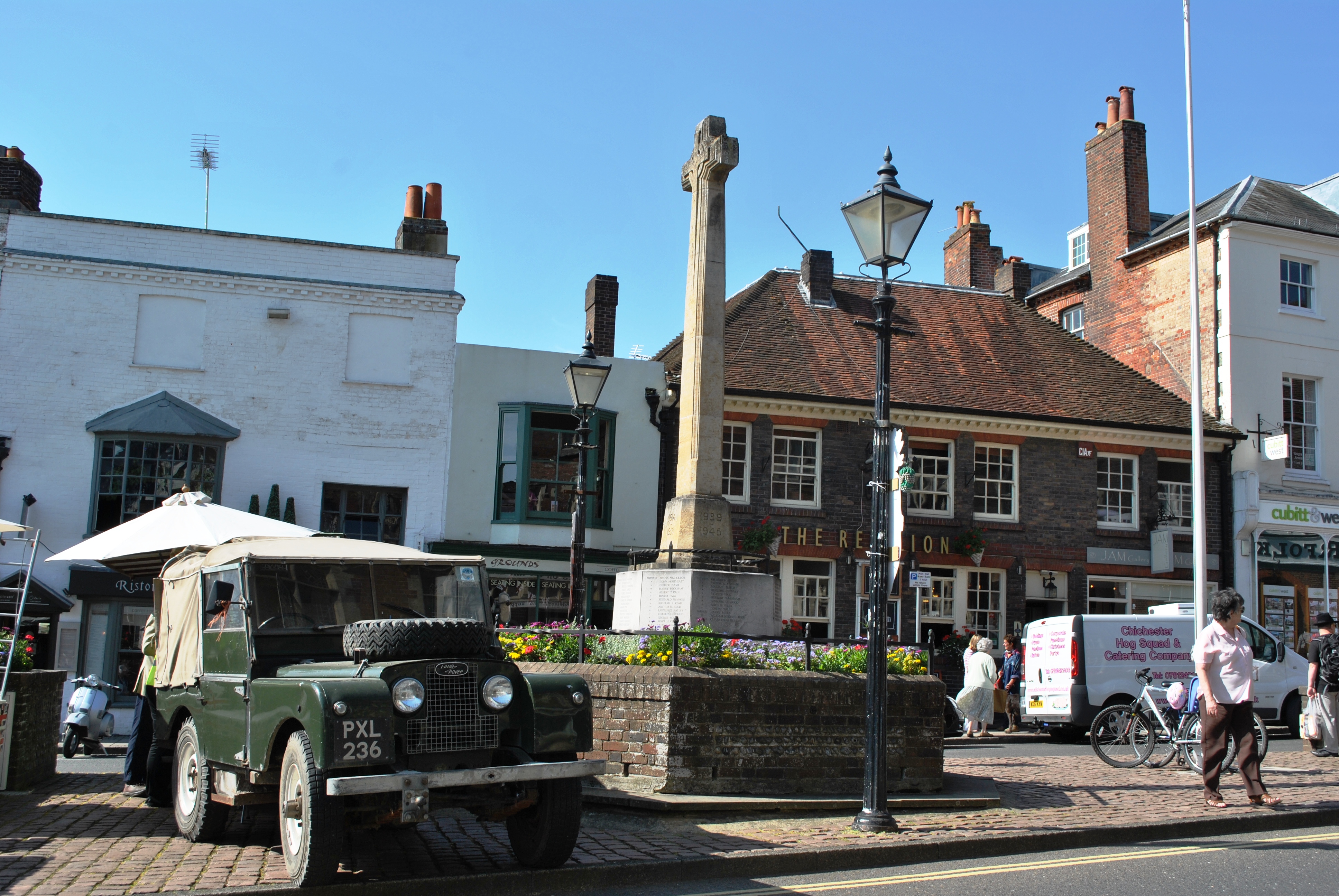
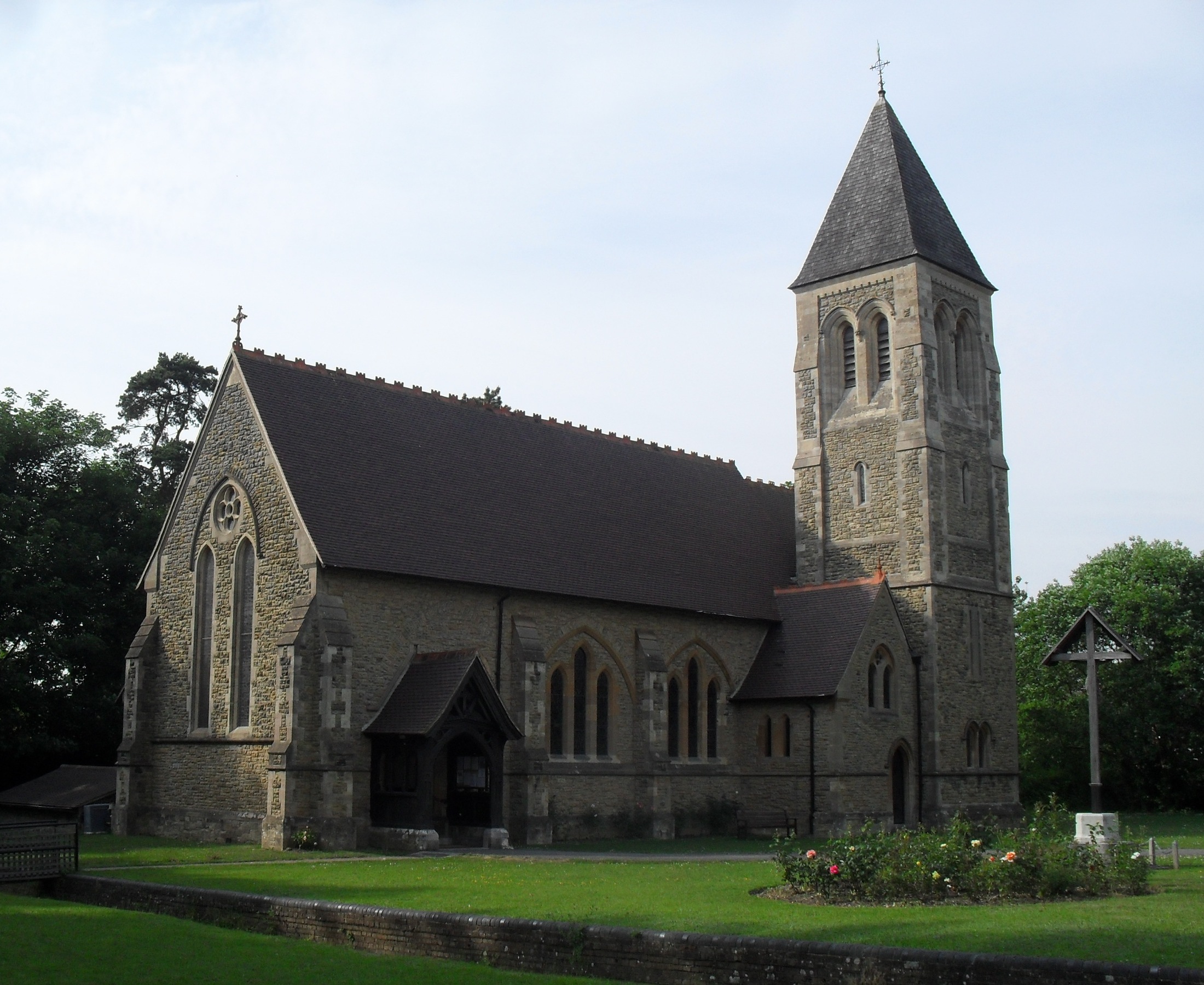
Northchapel is a village and civil parish in Chichester District in West Sussex, England. It stands on the A283 road just south of the Surrey border, around 9 km north of Petworth. The village is believed to have taken its name from a church which was once a chapelry and was the north chapel of the Manor of Petworth, and originally was two separate words, North and Chapel. History The earliest known human settlement is an Iron Age camp at Piper's Copse, the only one found on low ground in Sussex. The rampart is over high in places and almost circular, enclosing an area of just over . Iron Age pottery and iron slag have been found on the site. Roman and medieval pottery have also been found at Pipers Copse. Following the Saxon conquest of Sussex in the late 5th century AD it is likely that the Northchapel area, like much of the wet clay areas of the low Weald was used as summer pasture and pannage for pigs by people from Saxon villages along the coastal plain. These summer ... [...More Info...] [...Related Items...] OR: [Wikipedia] [Google] [Baidu] |
Arundel
Arundel ( ) is a market town and civil parish in the Arun District of the South Downs, West Sussex, England. The much-conserved town has a medieval castle and Roman Catholic cathedral. Arundel has a museum and comes second behind much larger Chichester in its number of listed buildings in West Sussex. The River Arun runs through the eastern side of the town. Arundel was one of the boroughs reformed by the Municipal Reform Act 1835. From 1836 to 1889 the town had its own Borough police force with a strength of three. In 1974 it became part of the Arun district, and is now a civil parish with a town council. Name The name comes from the Old English ''Harhunedell'', meaning "valley of horehound", and was first recorded in the Domesday Book. Folk etymology, however, connects the name with the Old French word ''arondelle'', meaning "swallow", and swallows appear on the town's arms. Governance An electoral ward of the same name exists. This ward stretches north to Houghton ... [...More Info...] [...Related Items...] OR: [Wikipedia] [Google] [Baidu] |
South Wales
South Wales ( cy, De Cymru) is a loosely defined region of Wales bordered by England to the east and mid Wales to the north. Generally considered to include the historic counties of Glamorgan and Monmouthshire, south Wales extends westwards to include Carmarthenshire and Pembrokeshire. In the western extent, from Swansea westwards, local people would probably recognise that they lived in both south Wales and west Wales. The Brecon Beacons National Park covers about a third of south Wales, containing Pen y Fan, the highest British mountain south of Cadair Idris in Snowdonia. A point of some discussion is whether the first element of the name should be capitalised: 'south Wales' or 'South Wales'. As the name is a geographical expression rather than a specific area with well-defined borders, style guides such as those of the BBC and ''The Guardian'' use the form 'south Wales'. In a more authoritative style guide, the Welsh Government, in their international gateway website, ... [...More Info...] [...Related Items...] OR: [Wikipedia] [Google] [Baidu] |
Newcastle Upon Tyne
Newcastle upon Tyne ( RP: , ), or simply Newcastle, is a city and metropolitan borough in Tyne and Wear, England. The city is located on the River Tyne's northern bank and forms the largest part of the Tyneside built-up area. Newcastle is also the most populous city of North East England. Newcastle developed around a Roman settlement called Pons Aelius and the settlement later took the name of a castle built in 1080 by William the Conqueror's eldest son, Robert Curthose. Historically, the city’s economy was dependent on its port and in particular, its status as one of the world's largest ship building and repair centres. Today, the city's economy is diverse with major economic output in science, finance, retail, education, tourism, and nightlife. Newcastle is one of the UK Core Cities, as well as part of the Eurocities network. Famous landmarks in Newcastle include the Tyne Bridge; the Swing Bridge; Newcastle Castle; St Thomas’ Church; Grainger Town including G ... [...More Info...] [...Related Items...] OR: [Wikipedia] [Google] [Baidu] |
Chalk
Chalk is a soft, white, porous, sedimentary carbonate rock. It is a form of limestone composed of the mineral calcite and originally formed deep under the sea by the compression of microscopic plankton that had settled to the sea floor. Chalk is common throughout Western Europe, where deposits underlie parts of France, and steep cliffs are often seen where they meet the sea in places such as the Dover cliffs on the Kent coast of the English Channel. Chalk is mined for use in industry, such as for quicklime, bricks and builder's putty, and in agriculture, for raising pH in soils with high acidity. It is also used for " blackboard chalk" for writing and drawing on various types of surfaces, although these can also be manufactured from other carbonate-based minerals, or gypsum. Description Chalk is a fine-textured, earthy type of limestone distinguished by its light color, softness, and high porosity. It is composed mostly of tiny fragments of the calcite shells or skeletons ... [...More Info...] [...Related Items...] OR: [Wikipedia] [Google] [Baidu] |
Canal Mania
Canal Mania was the period of intense canal building in England and Wales between the 1790s and 1810s, and the speculative frenzy that ensued in the early 1790s.British Canals. The Standard History. Joseph Boughey and Charles Hadfield. Background The earliest canal building was undertaken as a local enterprise, usually by a merchant, manufacturer or mine owner needing to ship goods, such as the Duke of Bridgewater's canal built to ship his coal from Worsley to Manchester. Despite the high cost of construction, the price of coal in Manchester fell by 50% shortly after it opened, and the financial success was attractive to investors. The American War of Independence ended in 1783. A long run of good harvests resulted in an increase in disposable income and an increase in the number of people looking to invest capital for a profit with little personal interest in the business. This resulted in an increase in less cautious speculation. There was a dramatic rise in the number of ... [...More Info...] [...Related Items...] OR: [Wikipedia] [Google] [Baidu] |
River Wey
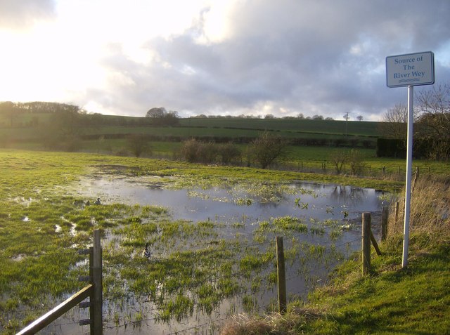
The River Wey is a main tributary of the River Thames in south east England. Its two branches, one of which rises near Alton in Hampshire and the other in West Sussex to the south of Haslemere, join at Tilford in Surrey. Once combined the flow is eastwards then northwards via Godalming and Guildford to meet the Thames at Weybridge. Downstream the river forms the backdrop to Newark Priory and Brooklands. The Wey and Godalming Navigations were built in the 17th and 18th centuries, to create a navigable route from Godalming to the Thames. The Wey drains much of south west Surrey (as well as parts of east Hampshire and the north of West Sussex) and has a total catchment area of . Although it is the longest tributary of the Thames (if the Medway is excluded), its total average discharge is lower than that of the Kennet and Cherwell. The river morphology and biodiversity of the Wey are well studied, with many places to take samples and record data. The main tributary is the Ti ... [...More Info...] [...Related Items...] OR: [Wikipedia] [Google] [Baidu] |
Arun Navigation
The River Arun () is a river in the English county of West Sussex. At long, it is the longest river entirely in Sussex and one of the longest starting in Sussex after the River Medway, River Wey and River Mole. From the series of small streams that form its source in the area of St Leonard's Forest in the Weald, the Arun flows westwards through Horsham to Nowhurst where it is joined by the North River. Turning to the south, it is joined by its main tributary, the western River Rother, and continues through a gap in the South Downs to Arundel to join the English Channel at Littlehampton. It is one of the faster flowing rivers in England, and is tidal as far inland as Pallingham Quay, upstream from the sea at Littlehampton. The Arun gives its name to the Arun local government district of West Sussex. The first major improvements to the river were made between the 1540s and the 1570s, when Arundel became a port, and navigation up to Pallingham was improved, but barges had di ... [...More Info...] [...Related Items...] OR: [Wikipedia] [Google] [Baidu] |
Surrey
Surrey () is a ceremonial and non-metropolitan county in South East England, bordering Greater London to the south west. Surrey has a large rural area, and several significant urban areas which form part of the Greater London Built-up Area. With a population of approximately 1.2 million people, Surrey is the 12th-most populous county in England. The most populated town in Surrey is Woking, followed by Guildford. The county is divided into eleven districts with borough status. Between 1893 and 2020, Surrey County Council was headquartered at County Hall, Kingston-upon-Thames (now part of Greater London) but is now based at Woodhatch Place, Reigate. In the 20th century several alterations were made to Surrey's borders, with territory ceded to Greater London upon its creation and some gained from the abolition of Middlesex. Surrey is bordered by Greater London to the north east, Kent to the east, Berkshire to the north west, West Sussex to the south, East Sussex to ... [...More Info...] [...Related Items...] OR: [Wikipedia] [Google] [Baidu] |
Arthur Young (writer)
Arthur Young (11 September 1741 – 12 April 1820) was an English agriculturist. Not himself successful as a farmer, he built on connections and activities as a publicist a substantial reputation as an expert on agricultural improvement. After the French Revolution of 1789, his views on its politics carried weight as an informed observer, and he became an important opponent of British reformers. Young is considered a major English writer on agriculture, although he is best known as a social and political observer. Also read widely were his ''Tour in Ireland'' (1780) and ''Travels in France'' (1792). Early life Young was born in 1741 at Whitehall, London, the second son of Anna Lucretia Coussmaker, and her husband Arthur Young, who was rector of Bradfield Combust in Suffolk and chaplain to Arthur Onslow. After attending school at Lavenham from 1748, he was in 1758 placed at Messrs Robertson, a mercantile house in King's Lynn. His sister Elizabeth Mary, who married John Thomlinso ... [...More Info...] [...Related Items...] OR: [Wikipedia] [Google] [Baidu] |
Horsham
Horsham is a market town on the upper reaches of the River Arun on the fringe of the Weald in West Sussex, England. The town is south south-west of London, north-west of Brighton and north-east of the county town of Chichester. Nearby towns include Crawley to the north-east and Haywards Heath and Burgess Hill to the south-east. It is the administrative centre of the Horsham district. History Governance Horsham is the largest town in the Horsham District Council area. The second, higher, tier of local government is West Sussex County Council, based in Chichester. It lies within the ancient Norman administrative division of the Rape of Bramber and the Hundred of Singlecross in Sussex. The town is the centre of the parliamentary constituency of Horsham, recreated in 1983. Jeremy Quin has served as Conservative Member of Parliament for Horsham since 2015, succeeding Francis Maude, who held the seat from 1997 but retired at the 2015 general election. Geography Weat ... [...More Info...] [...Related Items...] OR: [Wikipedia] [Google] [Baidu] |


%2C_Western_Negev%2C_Israel.jpg)


