|
Peter Crerar
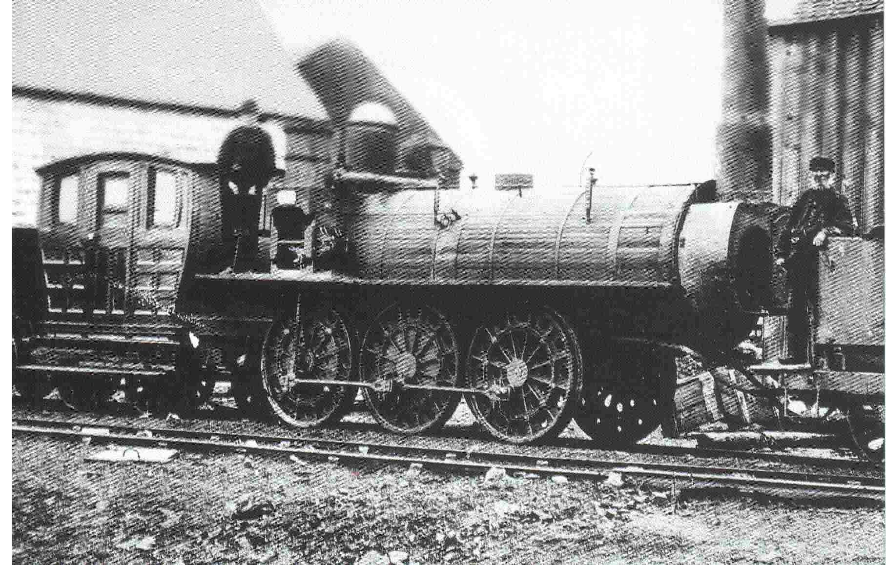
Peter Crerar (1785 in Breadalbane, Scotland – 5 November 1856 in Pictou, Nova Scotia) was a Scottish-Nova Scotian civil engineer. He designed the first railway in British North America, and the first standard gauge railroad in North America, at Stellarton, near Pictou, Nova Scotia. The 1836 Albion Mines Railway Crerar had shown an early interest in railways as early as 3 February 1836 when he wrote a lengthy letter concerning a proposed railway between Halifax and Windsor. Later in 1836 the General Mining Association of London, England, owners of the Albion Mines, now Stellarton, decided to build a railway from the Albion Mines to its loading grounds on the East River. At that time there were few construction engineers in the area. Peter Crerar, a government land surveyor, was given the task. The plans were sent to the head office of the Mining Association in London, with the request that an engineer be sent out to execute them. When the plans were submitted to George ... [...More Info...] [...Related Items...] OR: [Wikipedia] [Google] [Baidu] |
Breadalbane, Scotland
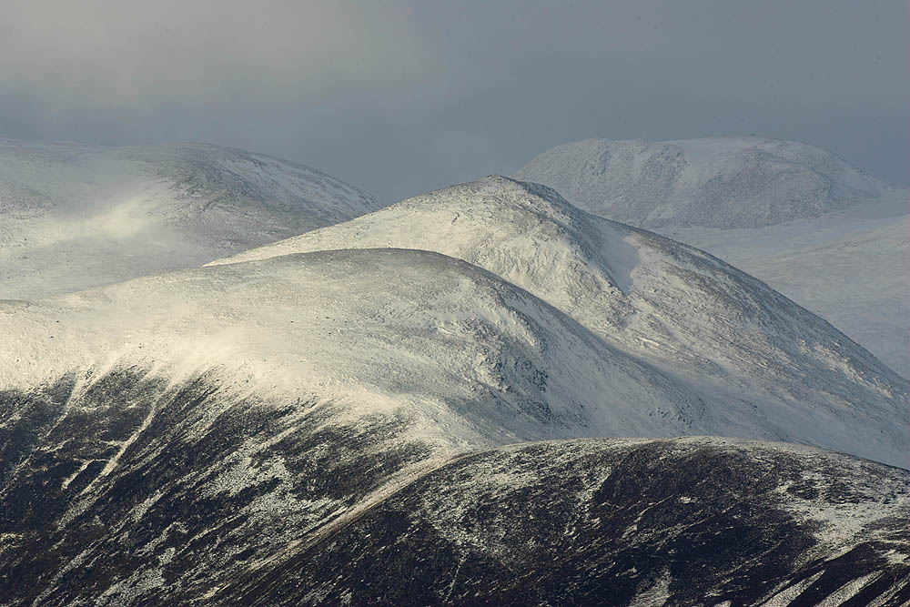
Breadalbane , from Scottish Gaelic ''Bràghaid Albann'' ("upper Alba" or "upland of Alba"), is a region of the southern/central Scottish Highlands. It is a mountainous region comprising the Drainage divide, watershed of Loch Tay; its boundaries are roughly the West Highland Way in the west, Rannoch Moor in the northwest, Loch Rannoch in the north, the River Tummel in the east, the Highland boundary in the southeast, and Loch Earn and Loch Voil-Loch Doine in the south. The former Breadalbane district was surrounded by the districts of Atholl, Strathearn, Menteith, The Lennox, Argyll and Lochaber. The Breadalbane Hydro-Electric Scheme lies within the region. The ''Atholl and Breadalbane Gathering'' is a popular 2/4 March tune for the Great Highland Bagpipes. History image:A new map of Scotland with the roads (8643653080).jpg, 350px, A 1689 map, showing the borders of Breadalbane as a distinct Province (in blue, at the centre of the map, as "broad alba-in") Breadalbane formed one o ... [...More Info...] [...Related Items...] OR: [Wikipedia] [Google] [Baidu] |
Timothy Hackworth
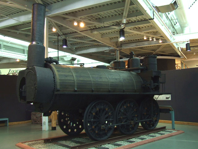
Timothy Hackworth (22 December 1786 – 7 July 1850) was an English steam locomotive engineer who lived in Shildon, County Durham, England and was the first locomotive superintendent of the Stockton and Darlington Railway. Youth and early work Timothy Hackworth was born in Wylam in 1786, five years after his fellow railway pioneer George Stephenson had been born in the same village. Hackworth was the eldest son of John Hackworth who occupied the position of foreman blacksmith at Wylam Colliery until his death in 1804; the father had already acquired a considerable reputation as a mechanical worker and boiler maker. At the end of his apprenticeship in 1810 Timothy took over his father's position. Since 1804, the mine owner, Christopher Blackett had been investigating the possibilities of working the mine's short colliery tramroad by steam traction. Blackett set up a four-man working group including himself, William Hedley, the viewer; Timothy Hackworth, the new foreman smith an ... [...More Info...] [...Related Items...] OR: [Wikipedia] [Google] [Baidu] |
Greenock
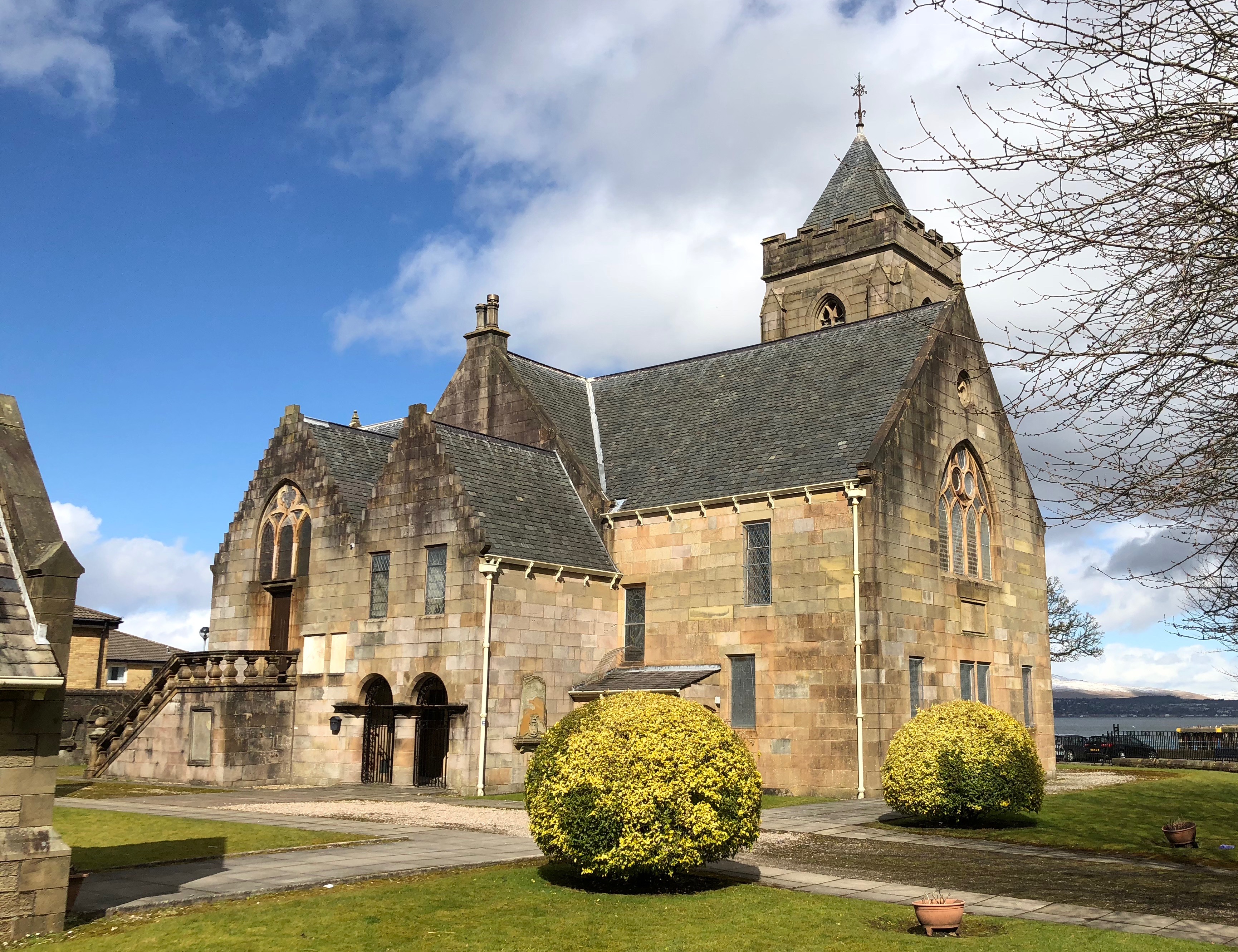
Greenock (; sco, Greenock; gd, Grianaig, ) is a town and administrative centre in the Inverclyde council areas of Scotland, council area in Scotland, United Kingdom and a former burgh of barony, burgh within the Counties of Scotland, historic county of Renfrewshire (historic), Renfrewshire, located in the west central Lowlands of Scotland. It forms part of a contiguous urban area with Gourock to the west and Port Glasgow to the east. The United Kingdom Census 2011, 2011 UK Census showed that Greenock had a population of 44,248, a decrease from the 46,861 recorded in the United Kingdom Census 2001, 2001 UK Census. It lies on the south bank of the Clyde at the "Tail of the Bank" where the River Clyde deepens into the Firth of Clyde. History Name Place-name scholar William J. Watson wrote that "Greenock is well known in Gaelic as Grianáig, dative of grianág, a sunny knoll". The Scottish Gaelic place-name ''Grianaig'' is relatively common, with another (Greenock) near Calla ... [...More Info...] [...Related Items...] OR: [Wikipedia] [Google] [Baidu] |
Brig Hope
A brig is a type of sailing vessel defined by its rig: two masts which are both square rig, square-rigged. Brigs originated in the second half of the 18th century and were a common type of smaller merchant vessel or warship from then until the latter part of the 19th century. In commercial use, they were gradually replaced by fore-and-aft rigged vessels such as schooners, as owners sought to reduce crew costs by having rigs that could be handled by fewer men. In Royal Navy use, brigs were retained for training use when the battle fleets consisted almost entirely of iron-hulled steamships. Brigs were prominent in the coasting coal trade of British waters. 4,395 voyages to London with coal were recorded in 1795. With an average of eight or nine trips per year for one vessel, that is a fleet of over 500 colliers trading to London alone. Other ports and coastal communities were also be served by colliers trading to Britain's coal ports. In the first half of the 19th century, the va ... [...More Info...] [...Related Items...] OR: [Wikipedia] [Google] [Baidu] |
Loch Tay
Loch Tay ( gd, Loch Tatha) is a freshwater loch in the central highlands of Scotland, in the Perth and Kinross and Stirling council areas. It is the largest body of fresh water in Perth and Kinross, and the sixth largest loch in Scotland. The watershed of Loch Tay traditionally formed the historic province of Breadalbane. It is a long, narrow loch of around long, and typically around wide, following the line of the strath from the south west to north east. It is the sixth-largest loch in Scotland by area and over deep at its deepest. Pre-history and archaeology Between 1996 and 2005, a large scale project was carried out to investigate the heritage and archaeology of Loch Tay, the Ben Lawers Historic Landscape (BLHL) Project. It took place primarily on the National Trust for Scotland’s property but included some local landowners who held the agricultural lands between the head-dyke and the loch-shore. Mesolithic period Before 1996 the earliest known evidence for oc ... [...More Info...] [...Related Items...] OR: [Wikipedia] [Google] [Baidu] |
Kenmore, Perth And Kinross
Kenmore ( gd, A' Cheannmhor, IPA:[ˈaˈçaun̴̪auvɔɾ]) is a small village in Perthshire, in the Scottish Highlands, Highlands of Scotland, located where Loch Tay drains into the River Tay. History The village dates from the 16th century. It and the neighbouring Castle were originally known as Balloch (from Scottish Gaelic language, Gaelic ''bealach'', 'pass'). The original village was sited on the north side of river approximately from its present site and was known as Inchadney. In 1540 Sir Colin Campbell of Glenorchy started the construction of Balloch castle on the opposite bank of the river and the entire village was moved to a prominent headland by the shores of Loch Tay, hence the name Kenmore, which translates from Scots Gaelic to "big (or large) head". The village as it is seen today is a model village laid out by 3rd Earl of Breadalbane in 1760. Landmarks and tourism The Kenmore Hotel, commissioned in 1572 by the then laird Colin Campbell, has its origins in a tave ... [...More Info...] [...Related Items...] OR: [Wikipedia] [Google] [Baidu] |
Lawers
Lawers is a village situated in rural Perthshire, Scotland. It lies on the banks of Loch Tay and at the foot of Ben Lawers. It was once part of a vibrant farming industry in the area. The Lady of Lawers The Lady of Lawers was possibly a Scottish soothsayer from the late 17th century. Her existence is disputed due to a lack of corroborating information. The Lady of Lawers was Mary Campbell, daughter of Sir James Campbell, 4th of Lawers, and liv ... lived most of her adult life there, and is buried in the old village ruins. References Villages in Perth and Kinross {{PerthKinross-geo-stub ... [...More Info...] [...Related Items...] OR: [Wikipedia] [Google] [Baidu] |
Pictou County, Nova Scotia
Pictou County is a county in the province of Nova Scotia, Canada. It was established in 1835, and was formerly a part of Halifax County from 1759 to 1835. It had a population of 43,657 people in 2021, a decline of 0.2 percent from 2016. Furthermore, its 2016 population is only 88.11% of the census population in 1991. It is the sixth most populous county in Nova Scotia. Etymology The origin of the name "Pictou" is obscure. Possible Mi'kmaq derivations include "Piktook" meaning an explosion of gas, and "Bucto" meaning fire, possibly related to the coal fields in the area. It might also be a corruption of Poictou (Poitou), a former province of France. Nicolas Denys named the harbour ''La rivière de Pictou'' in the 1660s. History The area of the modern Pictou County was a part of the Miꞌkmaq nation of Mi'kma'ki (''mi'gama'gi'') at the time of European contact. In the early 1600s France claimed the area as a part of Acadia. By the 1760s, small French settlements existed a ... [...More Info...] [...Related Items...] OR: [Wikipedia] [Google] [Baidu] |
Henry Hatton (Nova Scotia Politician)
Henry Hatton ( – 31 July 1853) was an Irish-born merchant, ship builder and political figure in Nova Scotia. He represented Pictou township from 1836 to 1843 in the Nova Scotia House of Assembly as a Conservative. He was born in Gorey, Wexford, the son of Robert Hatton, a Dublin barrister, and Jane Tomkins. He came to Nova Scotia in 1813 with his family, settling in Pictou. He married Mary Ann Brown (b.c.1800 Newcastle upon Tyne - d.3 April 1876 Pictou). Hatton became one of the most active shipbuilders in Pictou County. He owned a series of buildings and a wharf, known as Hatton's Wharf, at the foot of South Market Street. Henry was a central figure in the construction of St. James' Anglican Church in Pictou. He died in Pictou, and is buried with Mary and his parents in the St. James Churchyard. References 1853 deaths Nova Scotia pre-Confederation MLAs Year of birth uncertain People from Gorey People from Pictou County {{NovaScotia-MLA-stub ... [...More Info...] [...Related Items...] OR: [Wikipedia] [Google] [Baidu] |
Abercrombie, Nova Scotia
Abercrombie is a community in the Canadian province of Nova Scotia, located in Pictou County. The village is named after Col James Abercrombie of the 42nd Regiment of Foot who was killed in the Battle of Bunker Hill The Battle of Bunker Hill was fought on June 17, 1775, during the Siege of Boston in the first stage of the American Revolutionary War. The battle is named after Bunker Hill in Charlestown, Massachusetts, which was peripherally involved in .... References Abercrombie on Destination Nova Scotia Communities in Pictou County {{PictouNS-geo-stub ... [...More Info...] [...Related Items...] OR: [Wikipedia] [Google] [Baidu] |
East River (Nova Scotia)
The East River is a saltwater tidal estuary in New York City. The waterway, which is actually not a river despite its name, connects Upper New York Bay on its south end to Long Island Sound on its north end. It separates the borough of Queens on Long Island from the Bronx on the North American mainland, and also divides Manhattan from Queens and Brooklyn, also on Long Island.Hodges, Godfrey. "East RIver" in Jackson, pp.393–93 Because of its connection to Long Island Sound, it was once also known as the ''Sound River''. The tidal strait changes its direction of flow frequently, and is subject to strong fluctuations in its current, which are accentuated by its narrowness and variety of depths. The waterway is navigable for its entire length of , and was historically the center of maritime activities in the city. Formation and description Technically a drowned valley, like the other waterways around New York City, the strait was formed approximately 11,000 years ago at ... [...More Info...] [...Related Items...] OR: [Wikipedia] [Google] [Baidu] |


