|
Pennsylvania Route 287
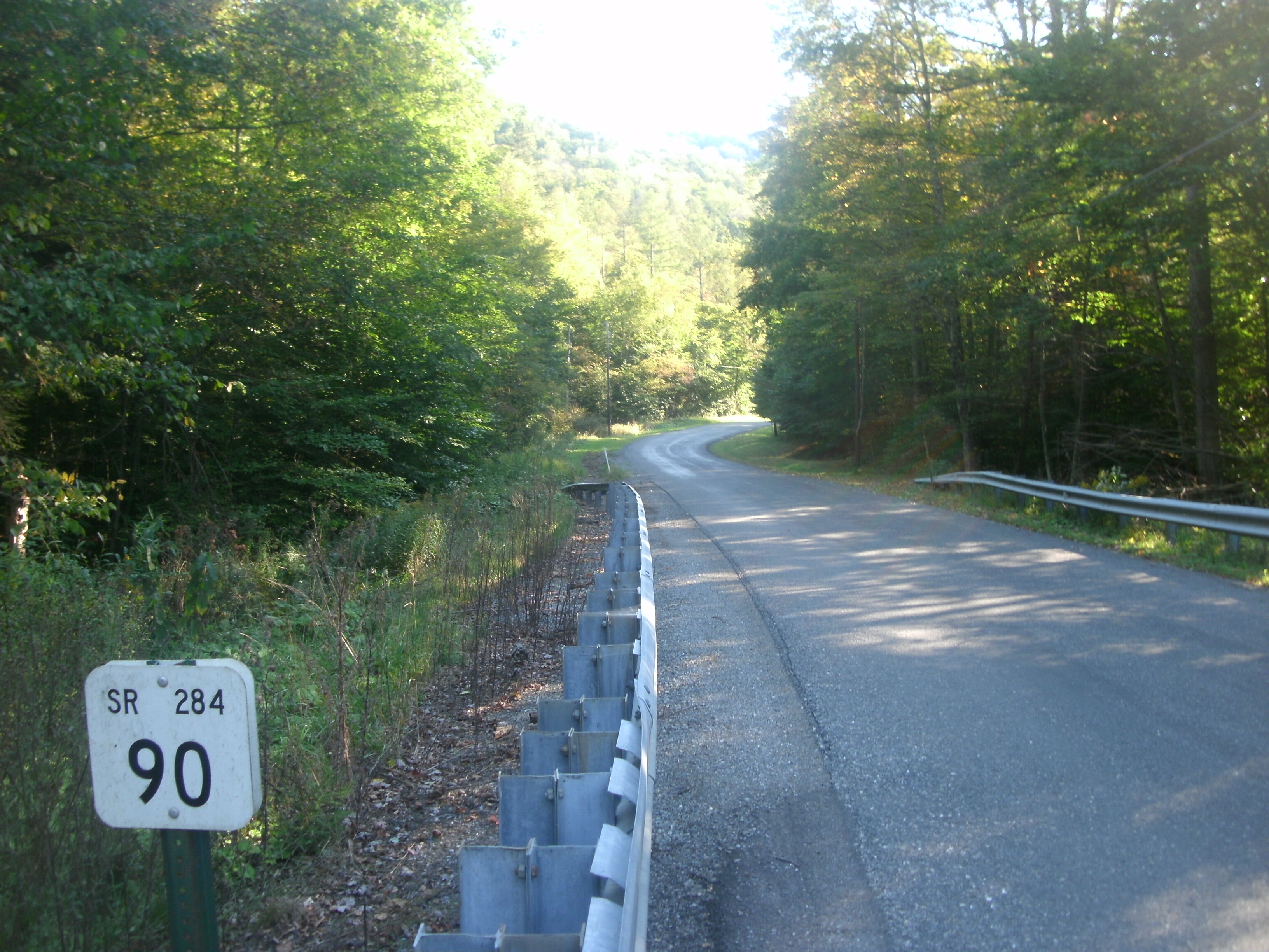
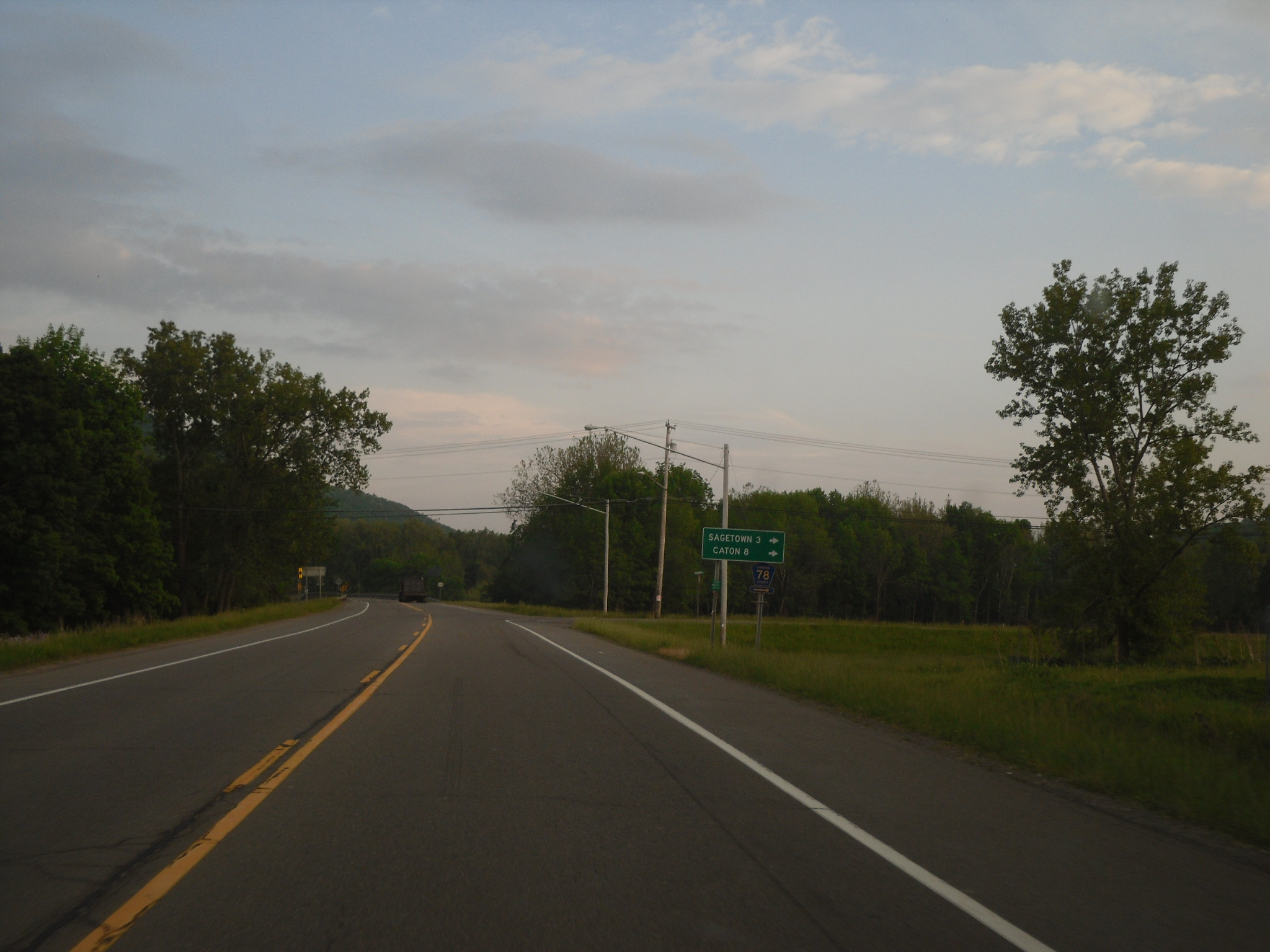
Pennsylvania Route 287 (PA 287) is a state highway in the Tioga Valley of Pennsylvania, United States. Route 287 runs from an intersection with U.S. Route 220 (US 220) in the community of Larrys Creek in Piatt Township, Lycoming County, north to an intersection with PA 49 just south of the New York state line in Lawrenceville, Tioga County. The route follows Larrys Creek through several isolated communities, including Salladasburg and English Center, before working its way towards Hoytville, where it meets PA 414. The route ends up in Wellsboro, where it meets US 6, and reaches Tioga. The alignment of PA 287 has been successor to a set of plank roads from Larrys Creek to Lawrenceville. The southern plank road, known as the Larrys Creek Plank Road, dates back to 1850 as short highway from Larrys Creek to Salladasburg, and was completely gone by 1900. The second part followed the Tioga and Lawrenceville Plank Road, which although is named from Tioga to Lawrenceville, ... [...More Info...] [...Related Items...] OR: [Wikipedia] [Google] [Baidu] |
Pennsylvania
Pennsylvania (; ( Pennsylvania Dutch: )), officially the Commonwealth of Pennsylvania, is a state spanning the Mid-Atlantic, Northeastern, Appalachian, and Great Lakes regions of the United States. It borders Delaware to its southeast, Maryland to its south, West Virginia to its southwest, Ohio to its west, Lake Erie and the Canadian province of Ontario to its northwest, New York to its north, and the Delaware River and New Jersey to its east. Pennsylvania is the fifth-most populous state in the nation with over 13 million residents as of 2020. It is the 33rd-largest state by area and ranks ninth among all states in population density. The southeastern Delaware Valley metropolitan area comprises and surrounds Philadelphia, the state's largest and nation's sixth most populous city. Another 2.37 million reside in Greater Pittsburgh in the southwest, centered around Pittsburgh, the state's second-largest and Western Pennsylvania's largest city. The state's su ... [...More Info...] [...Related Items...] OR: [Wikipedia] [Google] [Baidu] |
English Center, Pennsylvania
Pine Township is a township in Lycoming County, Pennsylvania, United States. The population was 260 at the 2020 census, down from 294 in 2010. It is part of the Williamsport Metropolitan Statistical Area. History Pine Township was formed from parts of Brown, Cummings and Cogan House townships on January 27, 1857. It was originally going to be called "Kingston Township", for the Kingston House that was in English Center, but the name was changed to "Pine" in recognition of the vast stands of pine trees that covered much of the township. The geography and geology of Pine Township have played an important role in its history. Pine Township lies within the southern limits of the most recent ice age. This land was once covered with glaciers. As the glaciers receded they scoured the land creating a moraine, knob-like hills, and kettle holes. Some of these kettles are at the top of the hill. This has caused the unusual formation of a swamp at the top of a hill. The effects of glaci ... [...More Info...] [...Related Items...] OR: [Wikipedia] [Google] [Baidu] |
Elmira, New York
Elmira () is a city and the county seat of Chemung County, New York, United States. It is the principal city of the Elmira, New York, metropolitan statistical area, which encompasses Chemung County. The population was 26,523 at the 2020 census, down from 29,200 at the 2010 census, a decline of more than 7 percent. The City of Elmira is in the south-central part of the county, surrounded on three sides by the Town of Elmira. It is in the Southern Tier of New York, a short distance north of the Pennsylvania state line. History Early history The region of Elmira was inhabited by the Cayuga nation (also known as the Kanawaholla) of the Haudenosaunee prior to European colonization. Cayuga residing in the region maintained relations with European settlers, primarily related to the fur trade, but were otherwise relatively isolated from encroaching colonial settlements. During the American Revolutionary War, the Sullivan Expedition of 1779 was mounted by the Continental ... [...More Info...] [...Related Items...] OR: [Wikipedia] [Google] [Baidu] |
New York State Route 328
New York State Route 328 (NY 328) is a northeast–southwest state highway located entirely within the town of Southport in Chemung County, New York, in the United States. The northeast end of NY 328 is at an intersection with NY 14 in the community of Southport, and the southwest terminus is at the Pennsylvania state line, where NY 328 continues on as Pennsylvania Route 328 (PA 328). NY 328 parallels Seeley Creek, a tributary of the Chemung River, for its entire length. The entirety of the route is part of Corridor U of the Appalachian Development Highway System. Route description NY 328 picks up where PA 328 leaves off at the Pennsylvania state line in the southwestern Chemung County town of Southport. The route heads northeast, roughly paralleling Seeley Creek as it runs along the base of a large valley surrounding the waterway. After three-fifths of a mile (1.0 km), the route veers to the north as a super two, c ... [...More Info...] [...Related Items...] OR: [Wikipedia] [Google] [Baidu] |
Pennsylvania Route 328
Pennsylvania Route 328 (PA 328, designated by the Pennsylvania Department of Transportation as SR 328) is a state highway located in Tioga and Bradford counties in Pennsylvania. The western terminus is at PA 287 in Tioga Junction. The eastern terminus is at New York State Route 328 (NY 328) at the New York state line near Millerton. Route description PA 328 begins at an intersection in Tioga Junction with PA 287. The route progresses eastward as a residential road through Tioga Junction, turning southeastward after Hillside Terrace. After this curve, PA 328 leaves Tioga Junction a two-lane local road through woodlands. The road curves several times from east, southeast and northeast directions before maintaining a southeastward at a field near Burrows Hollow Road. After Lyman Stone Road, PA 328 turning southeastward through forests and fields before curving eastward through fields. At the intersection with Button Hill Road, ... [...More Info...] [...Related Items...] OR: [Wikipedia] [Google] [Baidu] |
Pennsylvania State Legislature
The Pennsylvania General Assembly is the legislature of the U.S. commonwealth of Pennsylvania. The legislature convenes in the State Capitol building in Harrisburg. In colonial times (1682–1776), the legislature was known as the Pennsylvania Provincial Assembly and was unicameral. Since the Constitution of 1776, the legislature has been known as the General Assembly. The General Assembly became a bicameral legislature in 1791. Membership The General Assembly has 253 members, consisting of a Senate with 50 members and a House of Representatives with 203 members, making it the second-largest state legislature in the nation, behind New Hampshire, and the largest full-time legislature. Senators are elected for a term of four years. Representatives are elected for a term of two years. The Pennsylvania general elections are held on the Tuesday after the first Monday in November in even-numbered years. A vacant seat must be filled by special election, the date of which is set by ... [...More Info...] [...Related Items...] OR: [Wikipedia] [Google] [Baidu] |
Crooked Creek (Tioga River)
Crooked Creek is a U.S. Geological Survey. National Hydrography Dataset high-resolution flowline dataThe National Map , accessed August 8, 2011 tributary of the Tioga River located entirely in Tioga County, Pennsylvania in the United States. Geography The source is southwest of the unincorporated village of Little Marsh in Chatham Township at an elevation of . The creek first flows east for , then northeast for . The mouth is at the confluence with the Tioga River, just north of the borough of Tioga, at an elevation of . The difference in elevation ( divided by the length of the creek of gives the average drop in elevation per unit length of creek or relief ratio of 39.1 ft/mi (7.4 m/km ). The meander ratio is 1.07, so despite its name, the creek is fairly straight in its bed. Watershed The watershed area is , with a population of 4,570 as of 2000. Of that area, are forested, are given to agricultural uses, and is open water. The watershed accounts for 12.2% ... [...More Info...] [...Related Items...] OR: [Wikipedia] [Google] [Baidu] |
Holliday, Pennsylvania
Holliday is an unincorporated community in Tioga County, Pennsylvania Pennsylvania (; ( Pennsylvania Dutch: )), officially the Commonwealth of Pennsylvania, is a state spanning the Mid-Atlantic, Northeastern, Appalachian, and Great Lakes regions of the United States. It borders Delaware to its southeast, ..., United States. Unincorporated communities in Tioga County, Pennsylvania Unincorporated communities in Pennsylvania {{TiogaCountyPA-geo-stub ... [...More Info...] [...Related Items...] OR: [Wikipedia] [Google] [Baidu] |
Second Fork Larrys Creek
The second (symbol: s) is the unit of time in the International System of Units (SI), historically defined as of a day – this factor derived from the division of the day first into 24 hours, then to 60 minutes and finally to 60 seconds each (24 × 60 × 60 = 86400). The current and formal definition in the International System of Units ( SI) is more precise:The second ..is defined by taking the fixed numerical value of the caesium frequency, Δ''ν''Cs, the unperturbed ground-state hyperfine transition frequency of the caesium 133 atom, to be when expressed in the unit Hz, which is equal to s−1. This current definition was adopted in 1967 when it became feasible to define the second based on fundamental properties of nature with caesium clocks. Because the speed of Earth's rotation varies and is slowing ever so slightly, a leap second is added at irregular intervals to civil time to keep clocks in sync with Earth's rotation. Uses Analog clocks and watches often have ... [...More Info...] [...Related Items...] OR: [Wikipedia] [Google] [Baidu] |
Interstate 84 In Pennsylvania
Interstate 84 (I-84) in Pennsylvania is the westernmost segment of the eastern I-84. Within Pennsylvania, it runs from I-81 in Dunmore east to the New York border near Matamoras. Route description I-84 starts in Pennsylvania at I-81 in Dunmore, a suburb east of Scranton, along with the northern end of I-380. After , I-84 splits from I-380, as the latter goes southeasterly through the Poconos and I-84 continues almost due east into Wayne and Pike counties. This section of Pennsylvania is very lightly populated, and there are no major settlements on or near I-84, although it offers access to popular outdoor recreation areas such as Lake Wallenpaupack and Promised Land State Park. Its right-of-way is very wide, with a large median strip between the two carriageways as it passes through densely wooded country, except for the swampy areas in southern Wayne County. The only development along Pennsylvania's section of I-84 is where U.S. Route 6 (US 6) and US 2 ... [...More Info...] [...Related Items...] OR: [Wikipedia] [Google] [Baidu] |
Susquehanna Trail
The Susquehanna Trail was an auto trail in the United States linking Washington, D.C. with Niagara Falls, New York. It passed through Baltimore, Maryland; Harrisburg, Pennsylvania; Williamsport, Pennsylvania; and Buffalo, New York. In relatively modern terms, the Susquehanna Trail roughly followed the following highways: *U.S. Route 1, Washington, D.C., to Baltimore, Maryland * U.S. Route 111 (now MD Route 45, Interstate 83 Business and other minor routes), Baltimore to Harrisburg, Pennsylvania *U.S. Route 22, Harrisburg to Duncannon, Pennsylvania * U.S. Route 11, Duncannon to Northumberland, Pennsylvania * PA Route 147, Northumberland to Muncy, Pennsylvania *U.S. Route 220, Muncy to Williamsport, Pennsylvania * U.S. Route 15, Williamsport to Wayland, New York * NY Route 63, Wayland to Dansville, New York * NY Route 36, Dansville to Leicester, New York * U.S. Route 20A, Leicester to East Aurora, New York * NY Route 16, East Aurora to Buffalo, New York *NY Route 5 and U.S. Rout ... [...More Info...] [...Related Items...] OR: [Wikipedia] [Google] [Baidu] |


