|
Penganga River
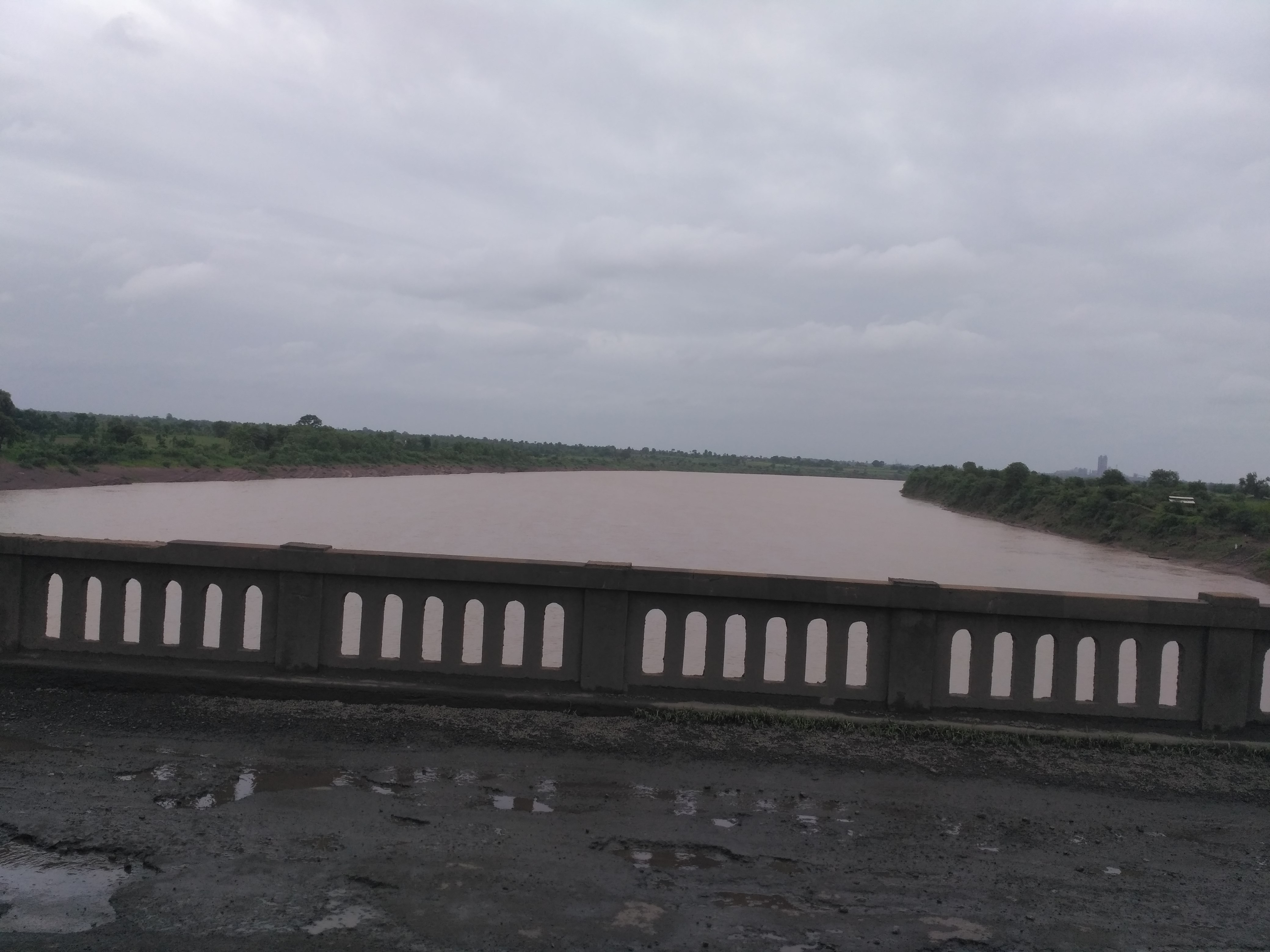
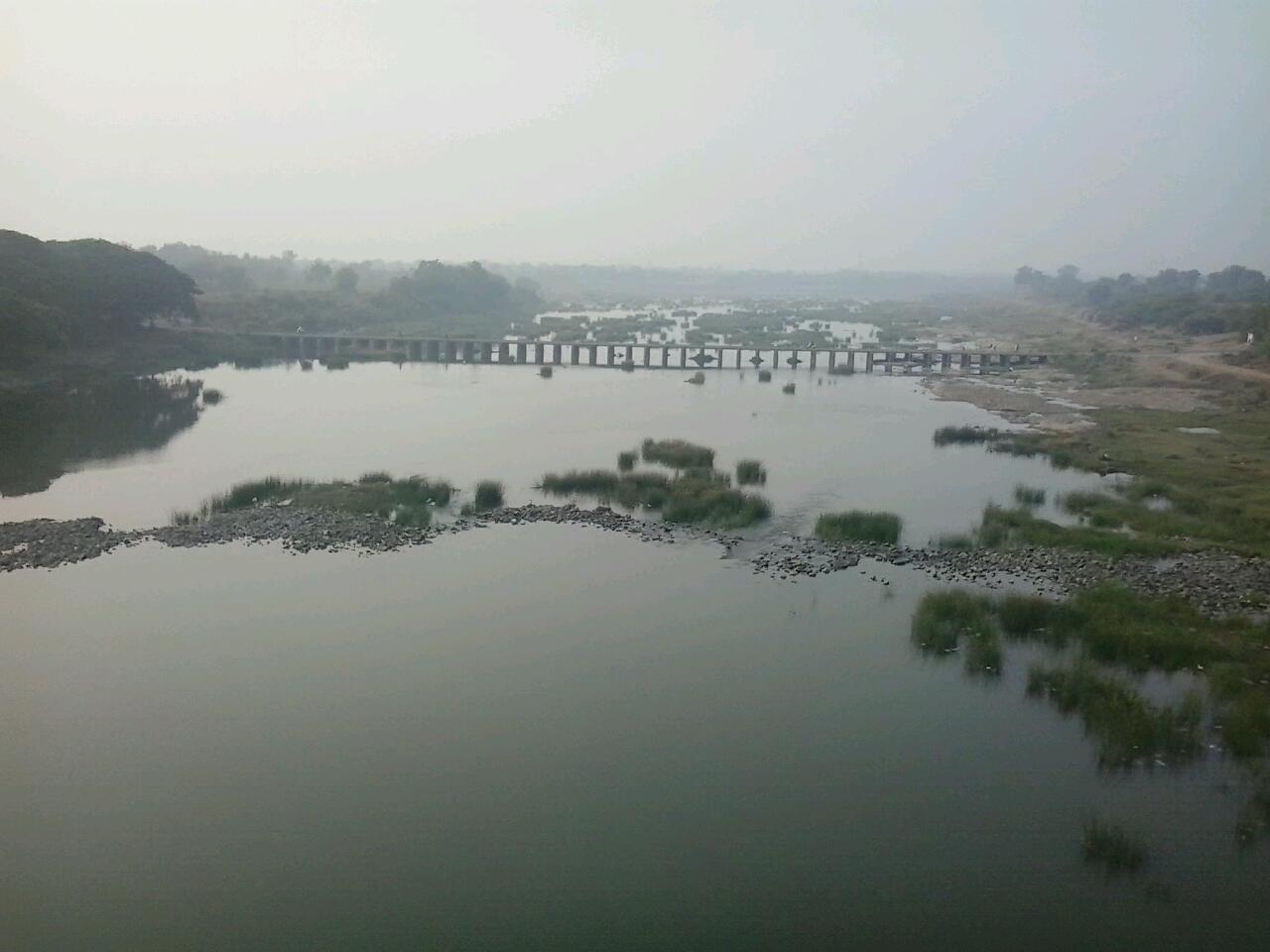
The Painganga River (also known as the Penganga River) is the chief river of the Buldhana district, Hingoli district, Nanded district, Yavatmal district, Chandrapur district and Washim district in the Maharashtra state in India. It flows along the southeast boundaries of the district in a winding, meandering course. It is deeply entrenched and difficult to navigate. It rises in the Ajantha range and is a major tributary of the Wardha River, the other major river in the district. It is also divided Marathwada and Vidarbha near Umarkhed. There is a small railway station named after the river in the Washim district. River course The total length of the river is . The Painganga River originates in the Ajantha ranges in Aurangabad district in Maharashtra. It then flows through Buldhana district and Washim district. It flows through Risod Tehsil of Washim where it gets Kas river as the tributary near Shelgaon Rajgure village and then flows through the border of Washim and Hingoli di ... [...More Info...] [...Related Items...] OR: [Wikipedia] [Google] [Baidu] |
Mahur, Maharashtra
Mahur or Mahurgad is a town and religious place in Nanded district of Maharashtra, India. Mahur is the birthplace of Hindu God Dattatreya. Dattatreya parents Atri Rishi and Sati Anasuya Mata lived here. Brahmadev, Vishnudev and Lord Shiva once got a news about Anusaya Mata that there is no one more pious and pure as her. To test her piousness they arrived under the garb of asking Alm (bhiksha). Near Mahur, There is a Pious confluence of River Penganga and River Pus at Hiwara Sangam village, Tal. Mahagaon Vidarbha, from where the river flows northward. Penganga river forms a border between Vidarbha and Marathwada. Mahur falls just about 3kms inside Marathwada due to river banks. There are three mountains in Mahur. The first one is having Renuka Mahar devi mata Temple, who is mother of the god Parshuram. Other two are called Datta Shikhar and Atri Anasuya Shikar Temples. Datta Shikhar is highest of all. Mahur has a sacred temple to Renuka Mata, which is considered one of the ... [...More Info...] [...Related Items...] OR: [Wikipedia] [Google] [Baidu] |
Kas River
The Kas River is a seasonal river located in the Washim and Buldhana districts of western Vidarbha, Maharashtra, India. It is approximately 56 km long. The river originates in the hilly areas of Buldhana district. This hills are part of Ajanta Ranges. Because the hills have seasonal rains, the Kas River remains dry for nearly six months of the year. The river flows southeast from its origin and meets the Penganga River The Painganga River (also known as the Penganga River) is the chief river of the Buldhana district, Hingoli district, Nanded district, Yavatmal district, Chandrapur district and Washim district in the Maharashtra state in India. It flows along the ... near the village Shelgaon Rajgure. Rivers of Maharashtra Rivers of India {{India-river-stub ... [...More Info...] [...Related Items...] OR: [Wikipedia] [Google] [Baidu] |
Adan River
The Adan River ( mr, अडाण नदी) is a river in Washim District, Maharashtra, India and a principal tributary of the Painganga River. Geography The source of the Adan River is in the Washim district of Maharashtra. The Arunavati River meets the Adan River about 13 kilometres before it joins the Painganga River. The river dries up in the summer, leaving only pools towards the end of its course. Two dams have been built on the Adan; one at its origin near Sonala village and the other near Karanja Lad city, both in Washim District. The river then flows shrubland. Adan Dam was built in 1977 near Karanja Lad, Washim district around 13 km from where the Adan River meets the Painanga. Environmental Impact of the Adan Dam In two separate reports on the environmental impact of the Adan Dam on the aquatic biodiversity of the river and the surrounding fishing communities in 2008 and 2012, Dr Nilesh K. Heda reported the following effects: * Effect on Fishing Communitie ... [...More Info...] [...Related Items...] OR: [Wikipedia] [Google] [Baidu] |
Andhra Pradesh
Andhra Pradesh (, abbr. AP) is a state in the south-eastern coastal region of India. It is the seventh-largest state by area covering an area of and tenth-most populous state with 49,386,799 inhabitants. It is bordered by Telangana to the north-west, Chhattisgarh to the north, Odisha to the north-east, Tamil Nadu to the south, Karnataka to the west and the Bay of Bengal to the east. It has the second longest coastline in India after Gujarat, of about . Andhra State was the first state to be formed on a linguistic basis in India on 1 October 1953. On 1 November 1956, Andhra State was merged with the Telugu-speaking areas (ten districts) of the Hyderabad State to form United Andhra Pradesh. ln 2014 these merged areas of Hyderabad State are bifurcated from United Andhra Pradesh to form new state Telangana . Present form of Andhra similar to Andhra state.but some mandalas like Bhadrachalam still with Telangana. Visakhapatnam, Guntur, Kurnool is People Capital of And ... [...More Info...] [...Related Items...] OR: [Wikipedia] [Google] [Baidu] |
Rajahmundry
Rajahmundry, officially known as Rajamahendravaram, is a city in the Indian state of Andhra Pradesh and District headquarters of East Godavari district. It is the sixth most populated city in the state. During British rule, the District of Rajahmundry was created in the Madras Presidency in 1823. It was reorganised in 1859 and bifurcated into the Godavari and Krishna districts. Rajahmundry was the headquarters of Godavari district, which was further bifurcated into East Godavari and West Godavari districts in 1925. When the Godavari district was bifurcated, Kakinada became the headquarters of East Godavari and Eluru became the headquarters of West Godavari. It is administered under Rajahmundry revenue division of the East Godavari district. The city is known for its floriculture, history, culture, agriculture, economy, tourism, and its heritage. It is known as the "Cultural Capital of Andhra Pradesh". The city's name was derived from Rajaraja Narendra, the ruler of Chalukya d ... [...More Info...] [...Related Items...] OR: [Wikipedia] [Google] [Baidu] |
Bay Of Bengal
The Bay of Bengal is the northeastern part of the Indian Ocean, bounded on the west and northwest by India, on the north by Bangladesh, and on the east by Myanmar and the Andaman and Nicobar Islands of India. Its southern limit is a line between Sangaman Kanda, Sri Lanka, and the north westernmost point of Sumatra, Indonesia. It is the largest water region called a bay in the world. There are countries dependent on the Bay of Bengal in South Asia and Southeast Asia. During the existence of British India, it was named as the Bay of Bengal after the historic Bengal region. At the time, the Port of Kolkata served as the gateway to the Crown rule in India. Cox's Bazar, the longest sea beach in the world and Sundarbans, the largest mangrove forest and the natural habitat of the Bengal tiger, are located along the bay. The Bay of Bengal occupies an area of . A number of large rivers flow into the Bay of Bengal: the Ganges– Hooghly, the Padma, the Brahmaputra–Yamuna, the Barak� ... [...More Info...] [...Related Items...] OR: [Wikipedia] [Google] [Baidu] |
Godavari River
The Godavari (IAST: ''Godāvarī'' �od̪aːʋəɾiː is India's second longest river after the Ganga river and drains into the third largest basin in India, covering about 10% of India's total geographical area. Its source is in Trimbakeshwar, Nashik, Maharashtra. It flows east for , draining the states of Maharashtra (48.6%), Telangana (18.8%), Andhra Pradesh (4.5%), Chhattisgarh (10.9%) and Odisha (5.7%). The river ultimately empties into the Bay of Bengal through an extensive network of tributaries. Measuring up to , it forms one of the largest river basins in the Indian subcontinent, with only the Ganga and Indus rivers having a larger drainage basin. In terms of length, catchment area and discharge, the Godavari is the largest in peninsular India, and had been dubbed as the Dakshina Ganga (Ganges of the South). The river has been revered in Hindu scriptures for many millennia and continues to harbour and nourish a rich cultural heritage. In the past few decades, the riv ... [...More Info...] [...Related Items...] OR: [Wikipedia] [Google] [Baidu] |
Pranhita River
The Pranhita River is the largest tributary of Godavari River covering about 34% of its drainage basin conveying the combined waters of the Penganga River, the Wardha River, and the Wainganga River. By virtue of its extensive network of tributaries, the river drains a large part of Vidarbha region in Maharashtra, as well as the southern slopes of the Satpura Range in southeast Madhya Pradesh. It flows along the border of Gadchiroli district in Maharashtra and Komaram Bheem Asifabad district in Telangana. The Pranahita sub-basin is the seventh largest in India, measuring about 109,078 km2, making it larger than the individual basins of significant rivers such as the Narmada River and Kaveri. Origin The Pranhita River begins at the confluence of two extensive rivers: the Wardha (catchment area: 46,237 km2) and the Wainganga (catchment area: 49,677 km2). This junction lies on the border between the states of Maharashtra and Telangana near TumdiHettty,Kouthala M ... [...More Info...] [...Related Items...] OR: [Wikipedia] [Google] [Baidu] |
Chandrapur
Chandrapur (earlier known as ''Chanda'', the official name until 1964) is a city and a municipal corporation in Chandrapur district, Maharashtra state, India. It is the district headquarters of Chandrapur district. Chandrapur is a fort city founded by Khandkya Ballal Sah, a Gond king of the 13th century. The city sits at the confluence of the Erai river and Zarpat river. The area around the city is rich in coal seams.. Hence, Chandrapur is also known as the "Black Gold City". Etymology The local people relate the name "Chandrapur" to the words ''Chandra'' (the moon) and ''pur'' (a settlement) after a legend. Scholars see the name as a derivative of "Indupur" (city of the moon) which stood near the Jharpat in the Treta Yuga. History There are many Stone Age sites in Chandrapur District. Suresh Chopane, a renowned researcher, found many stone-age tools in the district, which has been displayed in his Rock Museum. Archeological finds, such as signs of pottery making, suggest i ... [...More Info...] [...Related Items...] OR: [Wikipedia] [Google] [Baidu] |
Guru Purnima
Guru Purnima (Poornima) is a tradition dedicated to all the spiritual and academic Gurus, who are evolved or enlightened humans, ready to share their wisdom, based on Karma Yoga. It is celebrated as a festival in India, Nepal and Bhutan by Hindus, Jains and Buddhists. This festival is traditionally observed to honour one's chosen spiritual teachers or leaders. It is observed on the Full Moon day (''Purnima'') in the Hindu month of ''Ashadha'' (June–July) as it is known in the Hindu Calendar. Articlpoornima.html "Guru Poornima (Vyas Puja)"As on 22 July 2013 on www.Sanatan.org The festival was revived by Mahatma Gandhi to pay tribute to his spiritual guru, Shrimad Rajchandra. It is also known as Vyasa Purnima, for it marks the birthday of Veda Vyasa, the sage who authored the Mahabharata and compiled the Vedas. Observances The celebration of Guru Poornima is marked by spiritual activities and may include a ritualistic event, ''Guru Pooja'', in honor of the Guru or teacher. Th ... [...More Info...] [...Related Items...] OR: [Wikipedia] [Google] [Baidu] |
Wani, Yavatmal
Wani () is a 3rd largest city in Yavatmal district in the Indian state of Maharashtra., United States National Geospatial-Intelligence Agency Wani is located in eastern part of Yavatmal district and borders Chandrapur district. Despite being a taluka, Wani is important commercial hub for nearby area due to its strong market and its crucial location. Yavatmal city is 110 kmy from Wani and Chandrapur is only 55 km. Nagpur is 130 km from Wani and Wardha is 110 km by road connectivity. History Wani has age old rock cut temples, including the Rangnath Swami Mandir, Kala Ram Mandir and Narsimha Mandir present in the southern part of the city. In past, Wani was known as 'Wun'. Wani was a district headquarters in Berar Province during British Raj. Later on, Wani became a taluka with Yavatmal as district head. Demographics As of the 2011 census of India, Wani had a population of 58,840 excluding the outer part of the city. Villages like Ganeshpur, Chikhalgaon, Waghdara, Lalguda are i ... [...More Info...] [...Related Items...] OR: [Wikipedia] [Google] [Baidu] |


