|
Peki (Krepi)
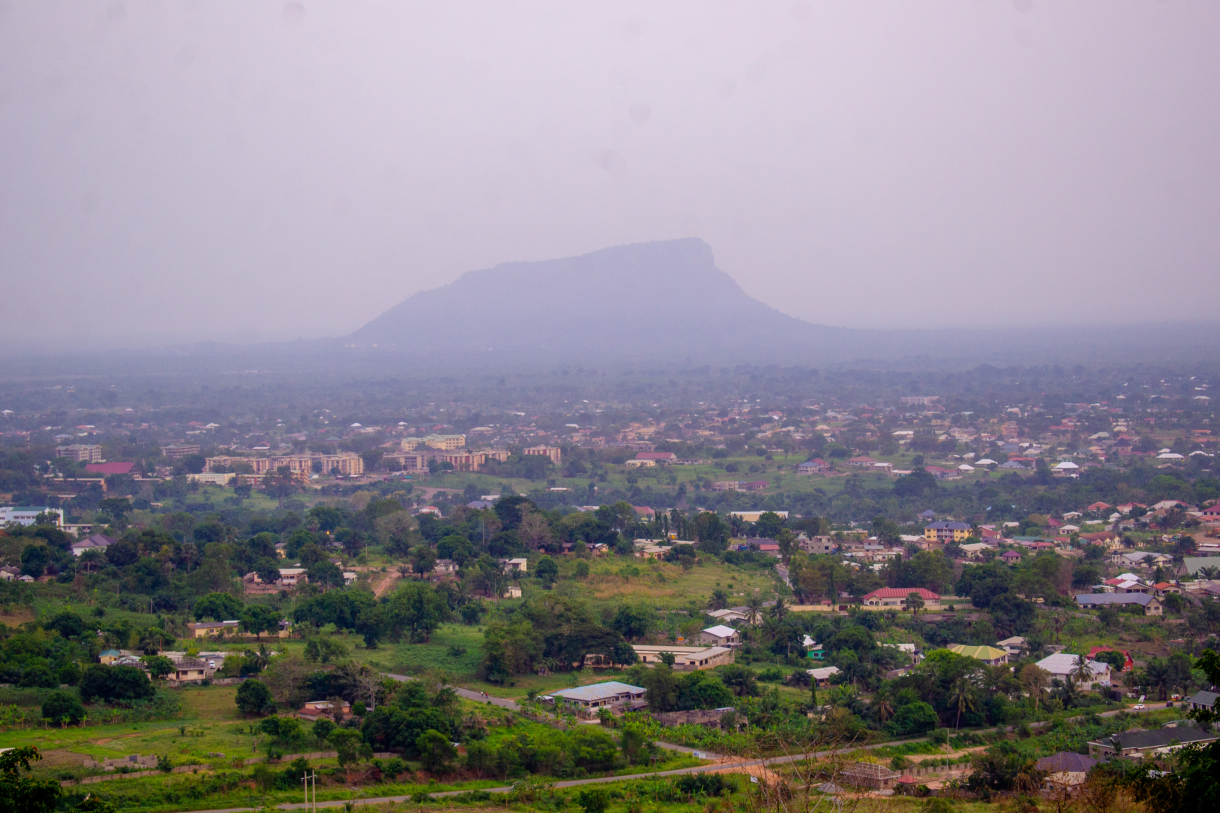
Peki (Krepi) is an ancient autochthonous society located at the south-eastern corner of present-day Republic of Ghana. Geographically, Peki is located on latitude 6° 32’ 0” N and longitude 0° 14’ 0” E. History Peki was first visited by Portuguese traders who sailed along the Gulf coast later named the Gold Coast when these forest inhabitants supplied hides, honey, ivory and later cotton and palm kernel. People The population of Peki is composed predominantly of three sets of inhabitants. The first being a collection off gatherers, iron smelters, hunters and harvesters mainly autochthonous elements who bear the name Peki and occupied that forest grove located between two mountains ranges called Eyeto (sun mountain) and Akpato (fish mountain). This group forms and bears the name Peki and resided in caves and other fortresses within the area to be called Akwapim-Togo ranges. The ranges lying just about 80 miles North East of Accra and was accessed by few day's journey. ... [...More Info...] [...Related Items...] OR: [Wikipedia] [Google] [Baidu] |
Regions Of Ghana
The Regions of Ghana constitute the first level of subnational government administration within the Republic of Ghana. As of 2020, there are currently sixteen regions, which are further divided for administrative purposes into 260 local metropolitan, municipal and district assemblies (or MMDA's). Current regions The former ten regional boundaries were officially established in 1987, when the Upper West Region was inaugurated as the state's newest administrative region. Although the official inauguration was in 1987, the Upper West Region had already functioned as an administrative unit since the break-up of the Upper Region in December 1982, prior to the 1984 national census. The referendum on the creation of six new regions was held on 27 December 2018 – all proposed new regions were approved. Previous regional configurations Independence - 6 March 1957 At Independence in March 1957, the Northern Territories, Trans-Volta Togoland and the Gold Coast came together to for ... [...More Info...] [...Related Items...] OR: [Wikipedia] [Google] [Baidu] |
Volta River
The Volta River is the main river system in the West African country of Ghana. It flows south into Ghana from the Bobo-Dioulasso highlands of Burkina Faso. The main parts of the river are the Black Volta, the White Volta, and the Red Volta. In the northwest, the Black Volta forms the international borders between the Ivory Coast, Ghana, and Burkina Faso. The Volta flows southward along the Akwapim-Togoland highlands, and it empties into the Atlantic Ocean at the Gulf of Guinea at Ada Foah. It has a smaller tributary river, the Oti, which enters Ghana from Togo in the east. The Volta River has been dammed at Akosombo for the purpose of generating hydroelectricity. The reservoir named Lake Volta stretches from Akosombo Dam in the south to the northern part of the country, and is the largest man-made reservoir by area in the world. Volta was named by the Portuguese, meaning twist or turn. The country of Burkina Faso was formerly called Upper Volta, after the river. The reserv ... [...More Info...] [...Related Items...] OR: [Wikipedia] [Google] [Baidu] |
New Zealand
New Zealand ( mi, Aotearoa ) is an island country in the southwestern Pacific Ocean. It consists of two main landmasses—the North Island () and the South Island ()—and over 700 smaller islands. It is the sixth-largest island country by area, covering . New Zealand is about east of Australia across the Tasman Sea and south of the islands of New Caledonia, Fiji, and Tonga. The country's varied topography and sharp mountain peaks, including the Southern Alps, owe much to tectonic uplift and volcanic eruptions. New Zealand's capital city is Wellington, and its most populous city is Auckland. The islands of New Zealand were the last large habitable land to be settled by humans. Between about 1280 and 1350, Polynesians began to settle in the islands and then developed a distinctive Māori culture. In 1642, the Dutch explorer Abel Tasman became the first European to sight and record New Zealand. In 1840, representatives of the United Kingdom and Māori chiefs ... [...More Info...] [...Related Items...] OR: [Wikipedia] [Google] [Baidu] |
Fort Prinzenstein
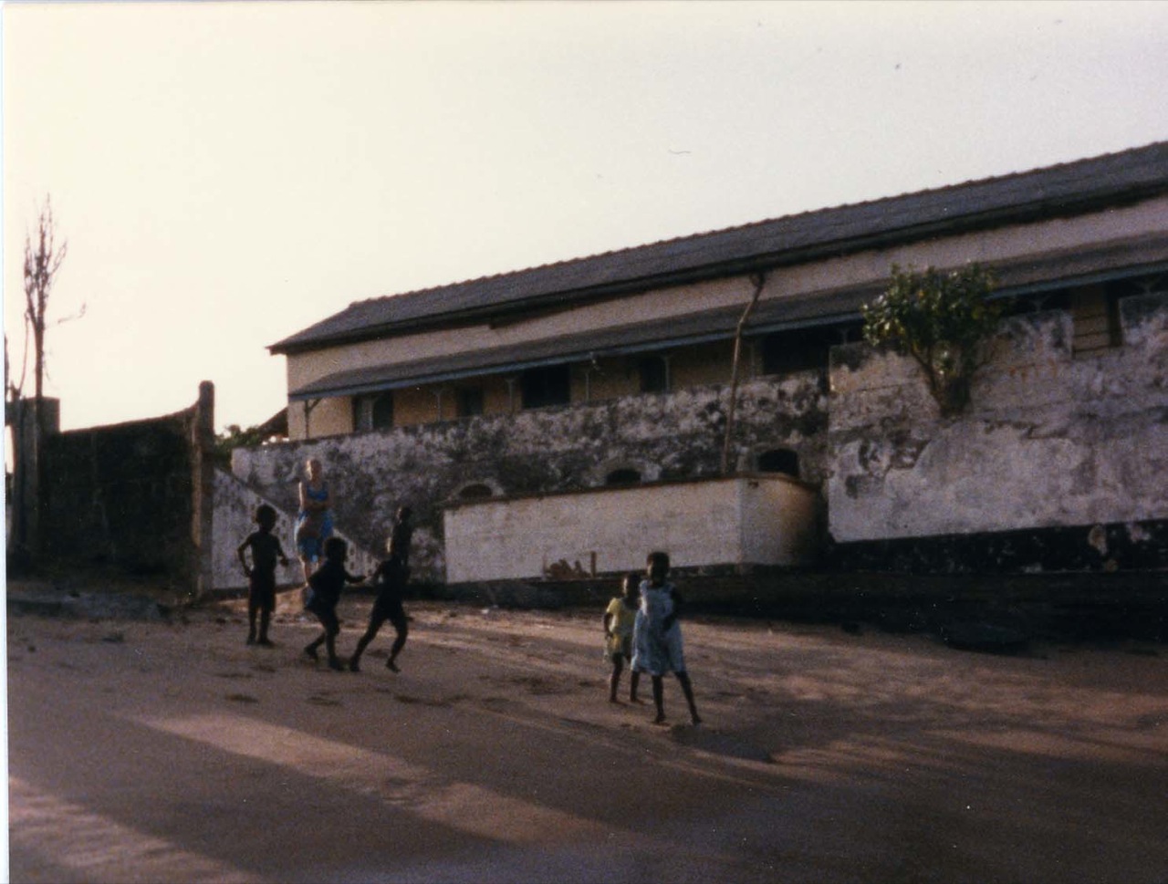
Fort Prinzenstein ( da, Fort Prinsensten) is a fort located at Keta, Ghana which was used in the slave trade. Many such forts were built in Africa, but Prinzenstein is one of the few that lie east of the Volta River. Keta served as an open port until the Tema Harbour commenced its operation to the west in 1962. The fort has been designated a World Heritage Site (along with several other castles and forts in Ghana) because of its historical importance and testimony to the Atlantic slave trade. It was built by Danish traders in 1784 for defensive purposes after the Sagbadre War against the Anlo Ewe and to keep the area safe from other colonial powers.Some sourcessay 1780. The majority of the materials, especially the stone used for the building of the fort, came from Accra. The fort is among the four major structures that were built by the Danish. The fort significantly played an important part in the slave trade, which involved Europeans in West Africa. Aside from the slave tr ... [...More Info...] [...Related Items...] OR: [Wikipedia] [Google] [Baidu] |
Osu, Accra
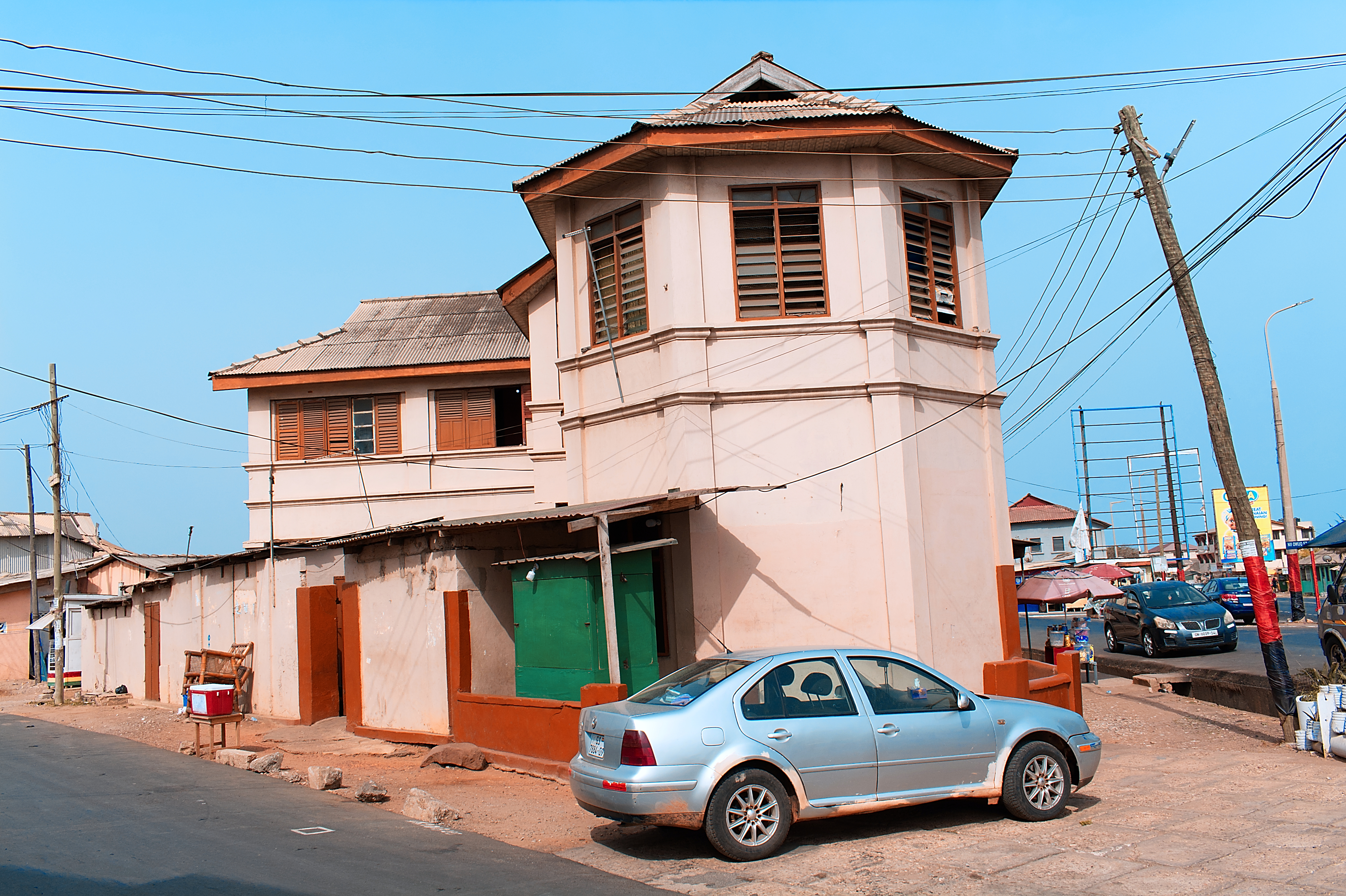
Located about east of the central business district, Osu is a neighborhood in central Accra, Ghana. It is locally known as the "West End" of Accra. Bounded to the south by the Gulf of Guinea, Osu's western boundary is the Independence Avenue. Osu is separated from the northern district of Labone by Ring Road. Due to its establishment as a settlement in the 17th century, Osu has a mix of houses dating from the early 20th century and modern office towers. Ringway Estates, a gated residential community between Gamel Abdul Nasser Avenue and Cantonments Road is located in the western section of Osu. The main thoroughfare, Cantonments Road (colloquially known as Oxford Street) has large supermarkets and appliance shops. At its southern end is the site of the 17th-century Fort Christiansborg, a former Danish colonial fort, which formerly housed the seat of government before being relocated to Golden Jubilee House. Economy The head office of Starbow is in Osu. [...More Info...] [...Related Items...] OR: [Wikipedia] [Google] [Baidu] |
Salaga
Salaga is a town and is the capital of East Gonja District, East Gonja district, a district in the Savannah Region, Ghana, Savannah Region of north Ghana. Salaga had a 2012 Human settlement, settlement population of 25,472 people. Etymology The name Salaga comes from the Dagomba word ''"salgi"'' which means ''"To get used to a place of abode"''. History In the eighteenth and nineteenth centuries, Salaga served as a key market town, particularly for the busy regional kola nut, kola trade, and controlling Salaga gave a monopoly over trade to the north and south. Situated in the southernmost reaches of the Sahel, Salaga was referred to as "the Timbuktu of the south" for its cosmopolitan population and varied trade. The Gonja people, Gonja, a powerful warrior kingdom, ruled Salaga and several other towns. However, being a cosmopolitan town, Salaga was inhabited by Hausa people, Hausas, Soninke Wangara, Wangaras, Dagomba people, Dagombas, Gurma people, Gurmas, and other groups from ... [...More Info...] [...Related Items...] OR: [Wikipedia] [Google] [Baidu] |
Buem
The Buem constituency is one of the constituencies represented in the Parliament of Ghana. It elects one Member of Parliament (MP) by the first past the post system of election. It is located in the Jasikan district of the Oti Region of Ghana. Boundaries The constituency is located within the Jasikan district of the Oti Region of Ghana. It is one of two constituencies in this district, the other being the Akan constituency. The constituency was originally located within the Volta Region of Ghana until new Regions were created following the December 2018 referendum. Members of Parliament Elections NELSON ASAFO Due to the death of Henry Ford Kamel of the NDC, a by-election was scheduled for 26 February 2013. This was won by Daniel Kosi Ashiaman of the NDC with a majority of 8,640 (78%) votes. See also *List of Ghana Parliament constituencies This ... [...More Info...] [...Related Items...] OR: [Wikipedia] [Google] [Baidu] |
Kpetoe
Kpetoe is a town in the Agortime Ziope District in the Volta Region of Ghana. The town is known for the Agotime Secondary School. The school is a second cycle institution. References Populated places in the Volta Region {{VoltaRegion-geo-stub ... [...More Info...] [...Related Items...] OR: [Wikipedia] [Google] [Baidu] |
Kpedze
Kpedze is a town at the western part of the Ho Municipal in the Volta Region of Ghana. The town is known for the Kpedze Secondary School. The school is a second cycle The second (symbol: s) is the unit of time in the International System of Units (SI), historically defined as of a day – this factor derived from the division of the day first into 24 hours, then to 60 minutes and finally to 60 seconds e ... institution. Geography It is located at an elevation of 228 meters above sea level and its population amounts to 26,909. Its coordinates are 6°49'60" N and 0°30'0" E in DMS (Degrees Minutes Seconds) or 6.83333 and 0.5 (in decimal degrees). Its UTM position is BH25 and its Joint Operation Graphics reference is NB31-05. The place is about 7 km east of Amedzofe, at the foot of the mountain range. The name of the town originates from the word (kpe = rock; dze = red: Red Rock). In the Eʋe language. Kpedze is also known as Kpedze, Kpedze Awlime. References ... [...More Info...] [...Related Items...] OR: [Wikipedia] [Google] [Baidu] |
Adaklu
Adaklu is a town in the Adaklu District of Volta Region of Ghana. The town is known for the Adaklu Commercial Secondary School. The school is a second cycle institution. References  Adaklu is not a town, but a district in the Volta region of Ghana comprising about 45 towns.
Agortime Kpetoe and Ziofe are towns in Adaklu. History attests to that fact.
Populated places in the Volta Region
{{VoltaRegion-geo-stub ...
[...More Info...] [...Related Items...] OR: [Wikipedia] [Google] [Baidu] |
Nkonya
Nkonya is a town in the Oti Region of Ghana. As a state, it consists of nine towns namely Ahenkro, Asakyiri, Betenase, Kadjebi, Ntsumuru, Ntumda, Tayi, Tepo and Wurupong. The town is known for the Nkonya Senior High School. The school is a second cycle institution. The language spoken in the town and the area is the Nkonya language Nkonya is a Guang language spoken by the people of Nkonya in the Biakoye District of the Oti Region of Ghana. A phonology and a dictionary are available., 2018 GILLBT References * Brigitte Reineke: ''The structure of the Nkonya language''. Ve .... References Populated places in the Oti Region {{OtiRegion-geo-stub ... [...More Info...] [...Related Items...] OR: [Wikipedia] [Google] [Baidu] |
Kpandu
Kpando is a town and capital of Kpando Municipal District in the northern Volta Region of Ghana. It is near the north eastern arm of Lake Volta and the Togo border. Kpando is the fifty-fourth most populous place in Ghana, in terms of population, with a population of 28,334 people. Kpando is connected by ferry and road to Gbefi, Hohoe, Ho and Dambai. It is about a 4-hour journey from Accra. The Kpando Municipality is a district A district is a type of administrative division that, in some countries, is managed by the local government. Across the world, areas known as "districts" vary greatly in size, spanning regions or counties, several municipalities, subdivisions o ... in the Volta Region, and one of the oldest administrative districts in Ghana. History The peoples of Kpando, also called the Akpini people are Ewes believed to have been a part of the third wave of migrations from Notsie, which was located in present-day Togo and or the Benin Area, while escaping from th ... [...More Info...] [...Related Items...] OR: [Wikipedia] [Google] [Baidu] |


