|
Parkwood Hills
Parkwood Hills is a neighbourhood in Knoxdale-Merivale Ward in the west end of Ottawa, Canada. Prior to amalgamation in 2001, it was located in the City of Nepean. It is notable for the thriller ''Parkwood Hills'' (2002) which was filmed on location in the area by Kolin Casagrande, and for being a typical and illustrative example of town planning and development by Minto in the context of its position as the property manager for the National Capital Commission. Location Central to this development is Meadowlands Drive to the north (some of the neighbourhood goes past north of Meadowlands to Baseline Road), bounded to the east by Fisher Avenue and to the west by Merivale RoadImage It is in Knoxdale-Merivale Ward which was expanded in 2006. The councillor for Knoxdale-Merivale is Keith Egli, replacing the perennial incumbent, Gord Hunter, who retired prior to the 2010 Municipal Election. The neighbourhood is part of the General Burns Community Association, along with Stewart ... [...More Info...] [...Related Items...] OR: [Wikipedia] [Google] [Baidu] |
Canadian House Of Commons
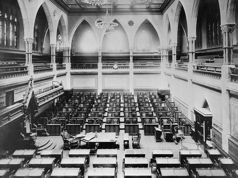
The House of Commons of Canada (french: Chambre des communes du Canada) is the lower house of the Parliament of Canada. Together with the Crown and the Senate of Canada, they comprise the bicameral legislature of Canada. The House of Commons is a democratically elected body whose members are known as members of Parliament (MPs). There have been 338 MPs since the most recent electoral district redistribution for the 2015 federal election, which saw the addition of 30 seats. Members are elected by simple plurality ("first-past-the-post" system) in each of the country's electoral districts, which are colloquially known as ''ridings''. MPs may hold office until Parliament is dissolved and serve for constitutionally limited terms of up to five years after an election. Historically, however, terms have ended before their expiry and the sitting government has typically dissolved parliament within four years of an election according to a long-standing convention. In any case, an act of ... [...More Info...] [...Related Items...] OR: [Wikipedia] [Google] [Baidu] |
National Capital Commission
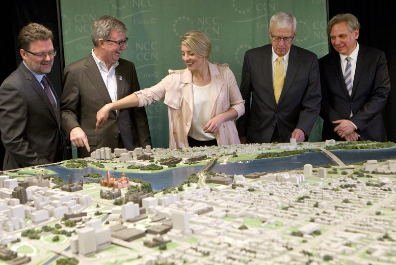
The National Capital Commission (NCC; french: Commission de la capitale nationale, CCN) is the Crown corporation responsible for development, urban planning, and conservation in Canada's Capital Region (Ottawa, Ontario and Gatineau, Quebec), including administering most lands and buildings owned by the Government of Canada in the region. The NCC is the capital's largest property owner, owning and managing over 11% of all lands in the Capital Region. It also owns over 1,600 properties in its real estate portfolio, including the capital's six official residences; commercial, residential and heritage buildings; and agricultural facilities. The NCC reports to the Parliament of Canada through whichever minister in the Cabinet of Canada is designated responsible for the ''National Capital Act'', currently the Minister of Public Services and Procurement. History Ottawa Improvement Commission (1899–1927) Through the 19th century, the character of what is known today as the Natio ... [...More Info...] [...Related Items...] OR: [Wikipedia] [Google] [Baidu] |
Tower Block
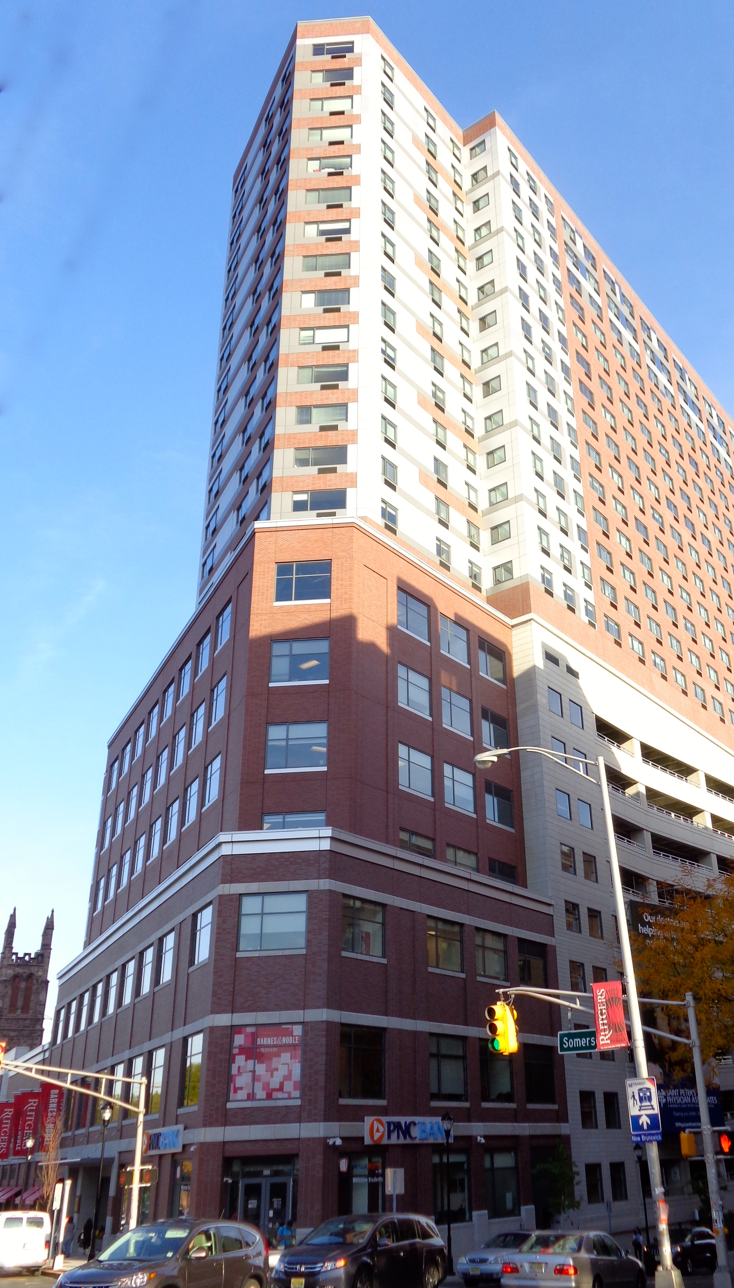
A tower block, high-rise, apartment tower, residential tower, apartment block, block of flats, or office tower is a tall building A building, or edifice, is an enclosed structure with a roof and walls standing more or less permanently in one place, such as a house or factory (although there's also portable buildings). Buildings come in a variety of sizes, shapes, and fun ..., as opposed to a low-rise building and is defined differently in terms of height depending on the jurisdiction. It is used as a apartment building, residential, office building, or other functions including hotel, retail, or with multiple purposes combined. Residential high-rise buildings are also known in some varieties of English, such as British English, as tower blocks and may be referred to as MDUs, standing for multi-dwelling units. A very tall high-rise building is referred to as a skyscraper. High-rise buildings became possible to construct with the invention of the elevator (lift) and wit ... [...More Info...] [...Related Items...] OR: [Wikipedia] [Google] [Baidu] |
Suburb
A suburb (more broadly suburban area) is an area within a metropolitan area, which may include commercial and mixed-use, that is primarily a residential area. A suburb can exist either as part of a larger city/urban area or as a separate political entity. The name describes an area which is not as densely populated as an inner city, yet more densely populated than a rural area in the countryside. In many metropolitan areas, suburbs exist as separate residential communities within commuting distance of a city (cf "bedroom suburb".) Suburbs can have their own political or legal jurisdiction, especially in the United States, but this is not always the case, especially in the United Kingdom, where most suburbs are located within the administrative boundaries of cities. In most English-speaking countries, suburban areas are defined in contrast to central or inner city areas, but in Australian English and South African English, ''suburb'' has become largely synonymous with what ... [...More Info...] [...Related Items...] OR: [Wikipedia] [Google] [Baidu] |
Courtyard 1210Meadowlands
A courtyard or court is a circumscribed area, often surrounded by a building or complex, that is open to the sky. Courtyards are common elements in both Western and Eastern building patterns and have been used by both ancient and contemporary architects as a typical and traditional building feature. Such spaces in inns and public buildings were often the primary meeting places for some purposes, leading to the other meanings of court. Both of the words ''court'' and ''yard'' derive from the same root, meaning an enclosed space. See yard and garden for the relation of this set of words. In universities courtyards are often known as quadrangles. Historic use Courtyards—private open spaces surrounded by walls or buildings—have been in use in residential architecture for almost as long as people have lived in constructed dwellings. The courtyard house makes its first appearance ca. 6400–6000 BC (calibrated), in the Neolithic Yarmukian site at Sha'ar HaGolan, in ... [...More Info...] [...Related Items...] OR: [Wikipedia] [Google] [Baidu] |
Mrs Dale's Diary
''Mrs Dale's Diary'' was the first significant BBC radio serial drama. It was first broadcast on 5 January 1948 on the BBC Light Programme, later BBC Radio 2; it ran until 25 April 1969. A new episode was broadcast each weekday afternoon, with a repeat the following morning. A few days after the final episode, a new serial drama, ''Waggoners' Walk'', took over the time slot. The main scriptwriter for many years was Jonquil Antony, and her first collaborator (under a pseudonym) was Ted Willis, later to create ''Dixon of Dock Green''. The lead character, Mrs Dale, was played by Ellis Powell until she was dismissed in controversial circumstances in 1963 and replaced by Jessie Matthews. Format An innovative characteristic of the programme was that a brief introductory narrative in each episode was spoken by Mrs Dale as if she were writing her diary. The serial centred on Mrs Mary Dale, a doctor's wife, and her husband Jim, and the comings and goings of a middle class society. ... [...More Info...] [...Related Items...] OR: [Wikipedia] [Google] [Baidu] |
Great Depression
The Great Depression (19291939) was an economic shock that impacted most countries across the world. It was a period of economic depression that became evident after a major fall in stock prices in the United States. The economic contagion began around September and led to the Wall Street stock market crash of October 24 (Black Thursday). It was the longest, deepest, and most widespread depression of the 20th century. Between 1929 and 1932, worldwide gross domestic product (GDP) fell by an estimated 15%. By comparison, worldwide GDP fell by less than 1% from 2008 to 2009 during the Great Recession. Some economies started to recover by the mid-1930s. However, in many countries, the negative effects of the Great Depression lasted until the beginning of World War II. Devastating effects were seen in both rich and poor countries with falling personal income, prices, tax revenues, and profits. International trade fell by more than 50%, unemployment in the U.S. rose to 23% and ... [...More Info...] [...Related Items...] OR: [Wikipedia] [Google] [Baidu] |
Fisher Heights
Fisher Heights is a neighbourhood located in the far northeast corner of the former City of Nepean in Ottawa, Ontario, Canada. It is located in Knoxdale-Merivale Ward. The area is located south of the Experimental Farm and approximately 8 km away from downtown Ottawa. According to the Community Association, the boundaries of the neighbourhood are Baseline Road on the north, Fisher Avenue on the east, Meadowlands Drive on the south and Merivale Road on the west. This area also covers the neighbourhood of Skyline, Orchard Park and Parkwood Hills North. The population for this area was 6,408 according to the 2016 Canada Census. History Prior to the area being developed as a subdivision, the corner of Merivale (originally the Merivale Stone Road) and Baseline (Base Line) marked the site of the village of City View. City View exists as a neighbourhood to this day, but is located west of Merivale. The Fisher Heights subdivision itself was first developed in the 1950s, with the a ... [...More Info...] [...Related Items...] OR: [Wikipedia] [Google] [Baidu] |
Carleton Heights
Carleton Heights (French: ''Hauteurs Carleton'') is a neighbourhood in River Ward in Ottawa, Ontario, Canada. According to the Carleton Heights and Area Community Association, the neighbourhood is bounded on the north by the Central Experimental Farm, on the east by the Rideau River, on the south by the junction of Prince of Wales Drive and Fisher Avenue and on the west by Fisher Avenue. The neighbourhood is sometimes referred to as Hog's Back after the nearby falls. The total population of the neighbourhood is 7,586 according to the Canada 2016 Census. Homes were developed after World War II in the main Carleton Heights neighbourhood (then part of Nepean Township), located south of Meadowlands Drive. Most of these homes were not built until c. 1950. The neighbourhood was originally built for War Veterans, thanks to the Veterans' Land Act. The houses were small, but were built on large lots (many of which were subdivided in the future). The Courtland Park section of the neigh ... [...More Info...] [...Related Items...] OR: [Wikipedia] [Google] [Baidu] |
Fisher Glen
Fisher is an archaic term for a fisherman, revived as gender-neutral. Fisher, Fishers or The Fisher may also refer to: Places Australia *Division of Fisher, an electoral district in the Australian House of Representatives, in Queensland *Electoral district of Fisher, a state electoral district in South Australia *Fisher, Australian Capital Territory *Fisher, Queensland, a suburb in the City of Mount Isa *Fisher, South Australia, a locality *Hundred of Fisher, a cadastral unit in South Australia Canada *Rural Municipality of Fisher * Fisher (electoral district), a former provincial electoral division in Manitoba, Canada United Kingdom *Fisher Bank, a sea area of the UK shipping forecast United States *Fisher, Arkansas * Fisher, California (other), multiple locations *Fisher, Illinois *Fisher, Louisiana *Fisher, Minnesota *Fisher, Missouri *Fisher, Oregon, an unincorporated community *Fisher, Pennsylvania * Fisher, West Virginia, an unincorporated community *Fisher Isl ... [...More Info...] [...Related Items...] OR: [Wikipedia] [Google] [Baidu] |
Borden Farm, Ottawa
Borden Farm is a neighbourhood in Knoxdale-Merivale Ward in Ottawa, Ontario, Canada. It is located in the former city of Nepean, which was amalgamated into Ottawa in 2001. It was built on the site of the former Borden Dairy Farm. The land was bought by the Canada Mortgage and Housing Corporation (CMHC) in 1959. The Borden farm community was built in 1967–1976 as a joint development of the CMHC and the Ontario Housing Corporation and features single-family homes with parks and bikeways placed behind the houses, instead of on the streets. There was more development in the 1980s and early 1990s. The rough boundaries of the neighbourhood are Merivale Road to the west, Bowhill Avenue to the north, Nepean Creek to the south and Chesteron Drive to the east. According to the 2016 Canada Census, the population for this area was 2,668.Population calculated by combining Dissemination Areas 35060517, 35060518, 35060516, 35060514 and Dissemination Blocks 35060515009, 35060515010, 3506051 ... [...More Info...] [...Related Items...] OR: [Wikipedia] [Google] [Baidu] |


.jpg)
