|
Parc Naturel Régional Normandie-Maine
Normandie-Maine Regional Natural Park (French language, Fr.: ''Parc naturel régional Normandie-Maine'') is a protected area of forest and bocage located in the France, French Region of France, regions of Normandy and Pays de la Loire. Geography Spanning the Departments of France, departments of Orne, Manche, Mayenne, and Sarthe, the Normandie-Maine park was created in 1975 with a total area of . As of 2011, the parkland has expanded to a total area of and includes 164 Communes of France, communes with fourteen associated partner communes; the number of inhabitants within the park is approximately 171,000. The park encompasses the Sarthe (river), Sarthe river valley and the large Forêt des Andaines, Forest of Andaines. Conservation areas The park contains seventeen sites that have been listed as Natura 2000 protected areas. Twelve of these protected areas are managed by the park, with 5 being managed by other external bodies. List of Natura 2000 sites wiuthin the Normandie ... [...More Info...] [...Related Items...] OR: [Wikipedia] [Google] [Baidu] |
Normandy
Normandy (; or ) is a geographical and cultural region in northwestern Europe, roughly coextensive with the historical Duchy of Normandy. Normandy comprises Normandy (administrative region), mainland Normandy (a part of France) and insular Normandy (mostly the British Channel Islands). It covers . Its population in 2017 was 3,499,280. The inhabitants of Normandy are known as Normans; the region is the historic homeland of the Norman language. Large settlements include Rouen, Caen, Le Havre and Cherbourg-en-Cotentin, Cherbourg. The cultural region of Normandy is roughly similar to the historical Duchy of Normandy, which includes small areas now part of the departments of Mayenne and Sarthe. The Channel Islands (French: ''Îles Anglo-Normandes'') are also historically part of Normandy; they cover and comprise two bailiwicks: Bailiwick of Guernsey, Guernsey and Jersey, which are British Crown Dependencies. Normandy's name comes from the settlement of the territory by Vikings ( ... [...More Info...] [...Related Items...] OR: [Wikipedia] [Google] [Baidu] |
Natura 2000
Natura 2000 is a network of nature protection areas in the territory of the European Union. It is made up of Special Areas of Conservation and Special Protection Areas designated under the Habitats Directive and the Birds Directive, respectively. The network includes both terrestrial and Marine Protected Areas. The Natura 2000 network covered more than 18% of the European Union's land area and more than 7% of its marine area in 2022. History In May 1992, the governments of the European Communities adopted legislation designed to protect the most seriously threatened habitats and species across Europe. The Habitats Directive complements the Birds Directive adopted in 1979, and together they make up the Natura 2000 network of protected areas. The Birds Directive requires the establishment of Special Protection Areas for birds. The Habitats Directive similarly requires Sites of Community Importance which upon the agreement of the European Commission become Special Areas o ... [...More Info...] [...Related Items...] OR: [Wikipedia] [Google] [Baidu] |
Haute Vallée De La Sarthe
Haute Vallée de la Sarthe translated as the Upper Sarthe Valley is a Natura 2000 conservation area that is 3,503 hectares in size. Geography The area is an Alluvial plain in a valley that commonly floods in winter. It is mainly consisted of sparse natural meadows crossed by a very developed hydrographic network (numerous tributaries, ditches). It is spread across 29 different communes within the Orne department and 4 within the Sarthe department; #Alençon #Barville, Orne, Barville #Bazoches-sur-Hoëne #Bures, Orne, Bures #Buré #Cerisé #Champeaux-sur-Sarthe #Chenay, Sarthe, Chenay #Coulonges-sur-Sarthe #Hauterive, Orne, Hauterive #Héloup #Laleu, Orne, Laleu #Mahéru #Mesnières-en-Bray #Mieuxcé #Moulins-le-Carbonnel #Moulins-la-Marche #Le Ménil-Broût #Le Mêle-sur-Sarthe #Le Plantis #Saint-Agnan-sur-Sarthe #Saint-Aubin-de-Courteraie #Saint-Céneri-le-Gérei #Saint-Germain-du-Corbéis #Saint-Julien-sur-Sarthe #Saint-Léger-sur-Sarthe #Saint-Martin-des-Pézerits #Saint Pate ... [...More Info...] [...Related Items...] OR: [Wikipedia] [Google] [Baidu] |
Haute Vallée De L'Orne Et Affluents
Haute vallée de l'Orne et affluents translated as the Upper Orne Valley and tributaries is a Natura 2000 conservation area that is 20,593 hectares in size. The site is managed by CPIE Collines normandes. Geography The area is focused on the sources of the Orne and its main tributaries up to Putanges-Pont-Ecrepin, the area that is prone to flooding and has water all year round. It is spread across 66 different communes all within the Orne department; # Almenêches #Argentan # Aunou-le-Faucon # Aunou-sur-Orne # Avoine # Belfonds # Boischampré # Boissei-la-Lande # Boucé # Brullemail # Carrouges # Le Cercueil # Chailloué # Le Champ-de-la-Pierre # La Chapelle-près-Sées # Le Château-d'Almenêches # Commeaux # Écouché-les-Vallées # Faverolles # La Ferrière-Béchet # Ferrières-la-Verrerie # Fleuré # Francheville # Giel-Courteilles #Gouffern en Auge # Gâprée # Habloville # Joué-du-Bois # Joué-du-Plain # Juvigny-sur-Orne #La Lande-de-Goult # La Lande-de-Lougé # Lougé ... [...More Info...] [...Related Items...] OR: [Wikipedia] [Google] [Baidu] |
Forêt De Sillé
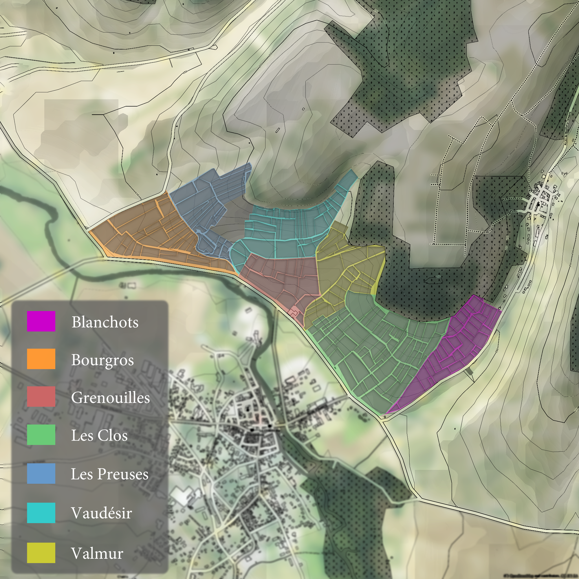
The Chablis region of Burgundy is classified according to four tiers of ''Appellation d'origine contrôlée'' (AOC) designation. The top two are the crus of Chablis and include the 7 Grand cru vineyards followed by the lower Premier crus. Wines made entirely from fruit from these vineyards are entitled to list their wines as ''cru classé'' Chablis on the wine label. Below these tiers are the lower designations of basic Chablis AOC and Petit Chablis. Soil quality and hill slope play a major role in delineating the differences. Many of the Premier Crus, and all the Grand Crus vineyards, are planted along valley of the Serein river as it flows into the Yonne with the best sites located on a southwest facing slope that receives the maximum amount of sun exposure. All of Chablis' Grand Cru vineyards and many of their better Premier Cru vineyards are planted on primarily Kimmeridgean soil (a composition of limestone, clay and tiny fossilized oyster shells) which is believed to impar ... [...More Info...] [...Related Items...] OR: [Wikipedia] [Google] [Baidu] |
Corniche De Pail Et Forêt De Multonne
A corniche is a road on the side of a cliff or mountain, with the ground rising up on one side of the roadway and falling away on the other. The English language has adopted the word from the French term ' or "road on a ledge", itself derived from the Italian ', for "ledge". Europe France Three famed corniche roads of the Côte d'Azur in the French Riviera run between the sea and mountains from Nice eastward toward Menton. They are known as the ' (or ') along the coast, the ' slightly inland, and the ' along the upper cliffs. The ' passes through the principality of Monaco. The ' featured prominently in the Alfred Hitchcock film ''To Catch a Thief''. Italy The Amalfi Drive, along the Amalfi Coast south of Naples, is a road carved into the cliffs along the Tyrrhenian Sea, and can be classified as a corniche. It runs between Sorrento and Amalfi and was originally built by the Romans. Africa Senegal The coastal road facing the Atlantic Ocean in the capital city of Dakar is ca ... [...More Info...] [...Related Items...] OR: [Wikipedia] [Google] [Baidu] |
Passais Villages
Passais Villages () is a commune in the department of Orne, northwestern France. The municipality was established on 1 January 2016 by merger of the former communes of L'Épinay-le-Comte, Passais (the seat) and Saint-Siméon. Points of interest *Combles de la chapelle de l'Oratoire de Passais is the attic of the l'Oratoire de Passais chapel, which is listed as a Natura 2000 conservation site. The chapel roof contains a nest of Greater mouse-eared bats, which are listed in Annex 2 of the Habitats Directive. National heritage sites The commune has four buildings and areas listed as a Monument historique. *Devil's Table Dolmen a Neolithic dolmen, it was registered as a monument in 1973. *L'Épinay-le-Comte Manor a twelfth-century manor house, registered as a Monument historique in 1940. *Manoir de la Guerinière a fifteenth-century manor house, registered as a Monument historique in 1975. *Menhir du Perron a Neolithic Menhir, registered as a Monument historique in 1926. See ... [...More Info...] [...Related Items...] OR: [Wikipedia] [Google] [Baidu] |
Bocage De La Forêt De La Monnaie à Javron-les-Chapelles
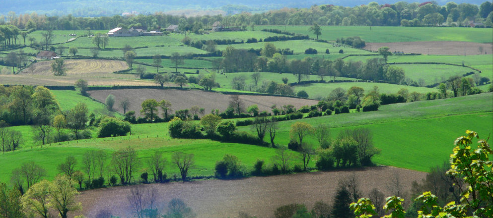
Bocage (, ) is a terrain of mixed woodland and pasture characteristic of parts of northern France, southern England, Ireland, the Netherlands, northern Spain and northern Germany, in regions where pastoral farming is the dominant land use. ''Bocage'' may also refer to a small forest, a decorative element of leaves, or a type of rubble-work, comparable with the English use of "rustic" in relation to garden ornamentation. In the decorative arts, especially porcelain, it refers to a leafy screen spreading above and behind figures. Though found on continental figures, it is something of an English speciality, beginning in the mid-18th century, especially in Chelsea porcelain, and later spreading to more downmarket Staffordshire pottery figures. In English, ''bocage'' refers to a terrain of mixed woodland and pasture, with fields and winding country lanes sunken between narrow low ridges and banks surmounted by tall thick hedgerows that break the wind but also limit visibility. ... [...More Info...] [...Related Items...] OR: [Wikipedia] [Google] [Baidu] |
Bassin De L'Andainette
Bassin de l'Andainette () translated as the Andainette basin is a Natura 2000 conservation area that is 1,024 hectares in size. Geography The area follows the Andainette, which is a tributary of the Varenne, which in turn flows into the Mayenne river. The east of the area is woodland, while the west is Bocage. It is spread across 6 different communes all within three departments the Orne, Sarthe and Mayenne; #Champsecret #Domfront en Poiraie # Dompierre #Juvigny Val d'Andaine #Les Monts d'Andaine # Perrou This protected site is within the Normandie-Maine Regional Natural Park. Conservation The conservation area has four species listed in Annex 2 of the Habitats Directive; #European bullhead # Cottus perifretum #Brook lamprey #White-clawed crayfish In addition the Natura 2000 site has eight habitats protected under the Habitats Directive The Habitats Directive (more formally known as Council Directive 92/43/EEC on the Conservation of natural habitats and of wild ... [...More Info...] [...Related Items...] OR: [Wikipedia] [Google] [Baidu] |


