|
Pambar River (Kerala)
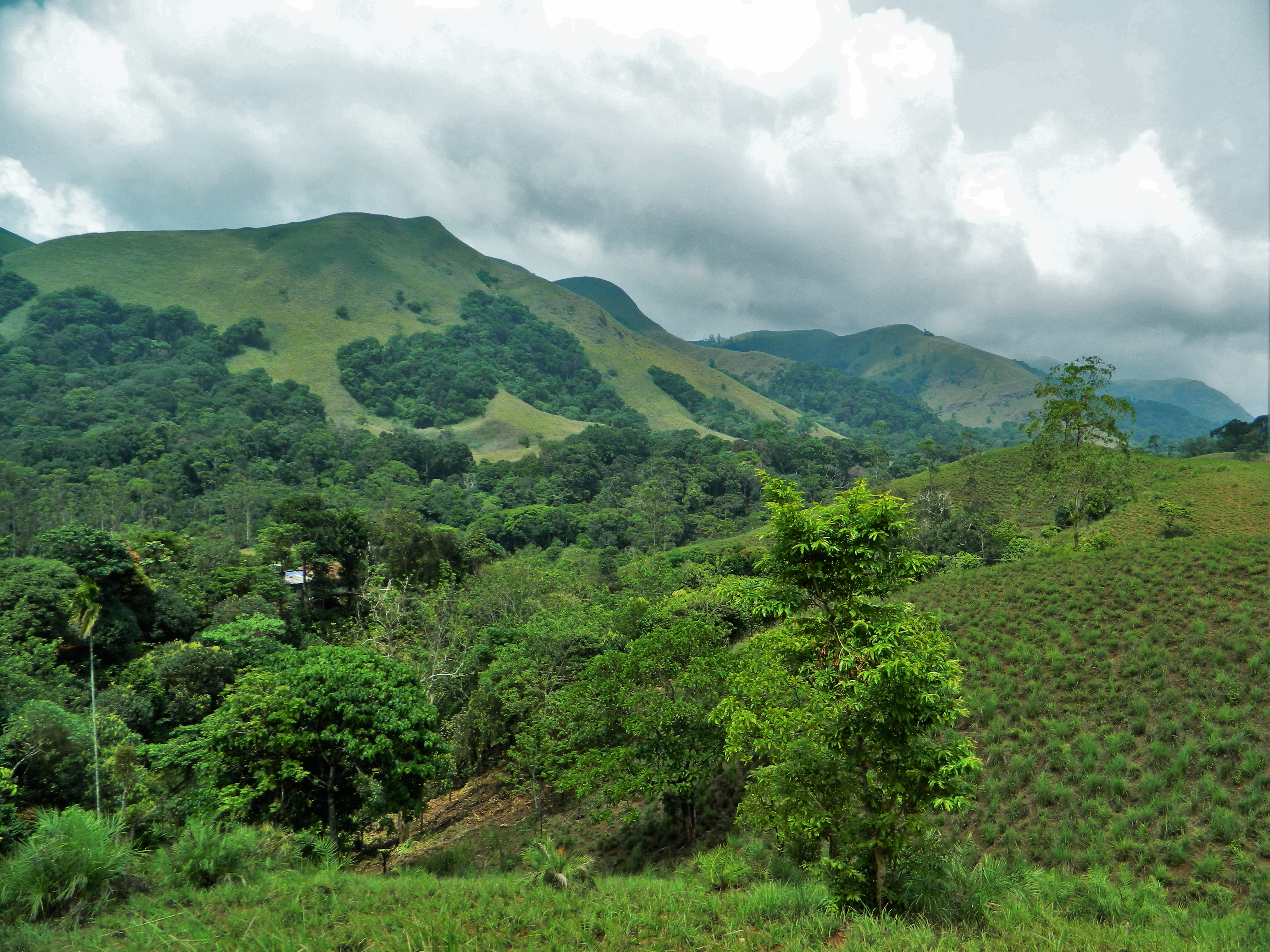
Pambar River originates near Anamudi in Idukki district of Kerala state in South India. Route It traverses Turner's Valley in Eravikulam National Park and flows into the Chinnar Wildlife Sanctuary through the Taliar Valley between Kanthalloor and Marayoor Villages and eastwards through the sanctuary. The Pambar, Kabani and Bhavani are the only rivers of the 44 in Kerala that flow eastwards. It is joined by seasonal rivulets and a few perennial streams originating from sholas in the upper reaches. The Pambar merges with the Chinnar River at Koottar.Blue Yonder Holidays Pvt Ltd, Chinnar, the real treasure trove, retrieved 8/30/200Koottar Tree House The Chinnar forms the interstate boundary along the northwest edge of the sanctuary and becomes the Amaravati River in Tamil Nadu, reaches the Amaravathi Reservoir and Dam and eventually joins the Kaveri River near Karur Karur () is a city in the Indian state of Tamil Nadu. Karur is the administrative headquarters of Karur d ... [...More Info...] [...Related Items...] OR: [Wikipedia] [Google] [Baidu] |
Amaravathi River
The Amaravati River is the longest tributary of Kaveri River in the fertile districts of Udumalpet, Dharapuram and Karur Tamil Nadu state, South India. Notes The long Amaravati River begins at the Kerala/Tamil Nadu border at the bottom of Manjampatti Valley between the Anaimalai Hills and the Palni Hills in Indira Gandhi Wildlife Sanctuary and National Park in Tirupur district. It descends in a northerly direction through Amaravathi Reservoir and Amaravathi Dam at Amaravathinagar. It is joined by the Kallapuram River at the mouth of the Ajanda valley in Udumalaipettai. Through Dharapuram and Aravakurichi it joins with the Kaveri at Thirumukkudal, about from Karur. Nanganji, Kudavanar, Shanmuga nadhi, Uppar, Kudumiar, Thenar and so many tributaries are joint with the Amravati river. It has the Tributary of the Pambar and Chinnar rivers from Kerala also. Use This river irrigates over of agricultural lands in Tiruppur and Karur districts. The Amaravathi Dam has 4 mega ... [...More Info...] [...Related Items...] OR: [Wikipedia] [Google] [Baidu] |
Shola
Sholas are the local name for patches of stunted tropical montane forest found in valleys amid rolling grassland in the higher montane regions of South India, largely in Kerala, Karnataka and Tamilnadu. These patches of shola forest are found mainly in the valleys and are usually separated from one another by undulating montane grassland. The shola and grassland together form the shola-grassland complex or mosaic. Not all such high-elevation grasslands have sholas in their valleys, especially if they are isolated from other such meadows, such as the meadows found in the Idamalayar Reserve Forest in Ernakulam district of Kerala. The word 'Shola' is probably derived from the Tamil language word cõlai (சோலை) meaning grove. The shola-forest and grassland complex has been described as a climatic climax vegetation with forest regeneration and expansion restricted by climatic conditions such as frost or soil characteristics while others have suggested that it may have anthr ... [...More Info...] [...Related Items...] OR: [Wikipedia] [Google] [Baidu] |
State Highway 17 (Tamil Nadu - Kerala, India)
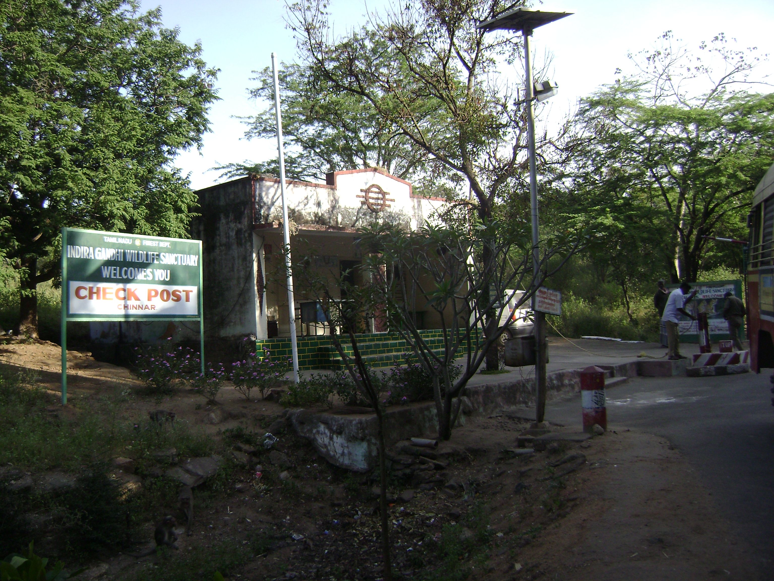
Kerala State Highway 17, also called the ''Northern outlet road'' and ''Munnar - Udumalpet road'', is notable for passing between the Anaimalai Hills and the Palani Hills, through or near three important protected areas and providing opportunities for viewing wildlife in unspoiled forests. The total road length is about . Route SH 17 starts north from NH 49 (Aluva - Munnar Highway) at Munnar, running about 2 km alongside the Kannimala River, then to Rajamudi village - Anakkalpetty road and on to Eravikulam village. It passes near Eravikulam National Park and Anamudi, The tallest Indian peak south of the Himalayas and into Marayoor town, (km 42). It then passes through the centre of Chinnar Wildlife Sanctuary, past Chinnar Watchtower and continues to Chinnar Check post, (km 59). It crosses the state boundary on a highway bridge over the Chinnar River at . It enters Indira Gandhi Wildlife Sanctuary and National Park at Tamil Nadu check post and continues p ... [...More Info...] [...Related Items...] OR: [Wikipedia] [Google] [Baidu] |
Karur
Karur () is a city in the Indian state of Tamil Nadu. Karur is the administrative headquarters of Karur district. It is located on the banks of River Amaravathi, Kaveri and Noyyal. Karur is well known for the export of Home Textile products to USA, UK, Australia, Europe and many more countries. It is situated at about 395 kilometers southwest of the state capital Chennai, 75 km from Tiruchirappalli, 120 km away from Coimbatore, 295 km away from Bengaluru and 300 km away from Kochi. Etymology Karur is mentioned in inscriptions and literature by two names, Karuvoor (the home of Karuvoor Devar) and Vanji. Additionally, it has been referred to as: Adipuram, Tiruaanilai, Paupatheechuram, Karuvaippatinam, Vanjularanyam, Garbhapuram, Thiru vithuvakkottam, Bhaskarapuram, Mudivazhangu Viracholapuram, Karapuram, Aadaga maadam, Cherama nagar and Shanmangala Kshetram. Among them, the name Adipuram, meaning the first city seems to indicate that it was held as the forem ... [...More Info...] [...Related Items...] OR: [Wikipedia] [Google] [Baidu] |
Kaveri River
The Kaveri (also known as Cauvery, the anglicized name) is one of the major Indian rivers flowing through the states of Karnataka and Tamil Nadu. The Kaveri river rises at Talakaveri in the Brahmagiri range in the Western Ghats, Kodagu district of the state of Karnataka, at an elevation of 1,341 m above mean sea level and flows for about 800 km before its outfall into the Bay of Bengal. It reaches the sea in Poompuhar in Mayiladuthurai district. It is the third largest river after Godavari and Krishna in southern India, and the largest in the State of Tamil Nadu, which, on its course, bisects the state into north and south. In ancient Tamil literature, the river was also called Ponni (the golden maid, in reference to the fine silt it deposits). The Kaveri is a sacred river to the people of South India and is worshipped as the Goddess Kaveriamma (Mother Cauvery). It is considered to be among the seven holy rivers of India. It is extensively used for agriculture in bot ... [...More Info...] [...Related Items...] OR: [Wikipedia] [Google] [Baidu] |
Amaravathi Reservoir
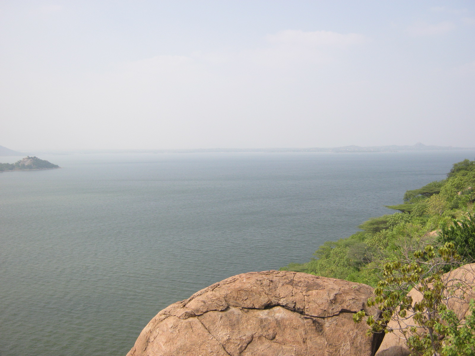
The Amaravathi Dam is a dam constructed across the Amaravathi River. It is located at Amaravathinagar, south of Udumalpet on SH 17 in the Indira Gandhi Wildlife Sanctuary, Tirupur district in the Indian state of Tamil Nadu. The associated Amaravathi Reservoir is in area and deep. The dam was built primarily for irrigation and flood control and now also has four megawatts of electrical generating capacity installed. It is notable for the significant population of mugger crocodiles living in its reservoir and catchment basin. History The dam was built across the Amaravati River in 1957, during K Kamaraj's administration, about 25 km upstream and south of the Thirumoorthy Dam. Tourism There is a well laid-out park where one may climb steep steps on the dam to have a picturesque view north of the plains below and south to the Anaimalai Hills and Palni Hills above. Boating for tourists in the dam began on 14 January 2011. Amaravathi Reservoir Amaravathi Reservoir ... [...More Info...] [...Related Items...] OR: [Wikipedia] [Google] [Baidu] |
Tamil Nadu
Tamil Nadu (; , TN) is a States and union territories of India, state in southern India. It is the List of states and union territories of India by area, tenth largest Indian state by area and the List of states and union territories of India by population, sixth largest by population. Its capital and largest city is Chennai. Tamil Nadu is the home of the Tamil people, whose Tamil language—one of the longest surviving Classical languages of India, classical languages in the world—is widely spoken in the state and serves as its official language. The state lies in the southernmost part of the Indian peninsula, and is bordered by the Indian union territory of Puducherry (union territory), Puducherry and the states of Kerala, Karnataka, and Andhra Pradesh, as well as an international maritime border with Sri Lanka. It is bounded by the Western Ghats in the west, the Eastern Ghats in the north, the Bay of Bengal in the east, the Gulf of Mannar and Palk Strait to the south-eas ... [...More Info...] [...Related Items...] OR: [Wikipedia] [Google] [Baidu] |
Amaravati River
The Amaravati River is the longest tributary of Kaveri River in the fertile districts of Udumalpet, Dharapuram and Karur Tamil Nadu state, South India. Notes The long Amaravati River begins at the Kerala/Tamil Nadu border at the bottom of Manjampatti Valley between the Anaimalai Hills and the Palni Hills in Indira Gandhi Wildlife Sanctuary and National Park in Tirupur district. It descends in a northerly direction through Amaravathi Reservoir and Amaravathi Dam at Amaravathinagar. It is joined by the Kallapuram River at the mouth of the Ajanda valley in Udumalaipettai. Through Dharapuram and Aravakurichi it joins with the Kaveri at Thirumukkudal, about from Karur. Nanganji, Kudavanar, Shanmuga nadhi, Uppar, Kudumiar, Thenar and so many tributaries are joint with the Amravati river. It has the Tributary of the Pambar and Chinnar rivers from Kerala also. Use This river irrigates over of agricultural lands in Tiruppur and Karur districts. The Amaravathi Dam has 4 meg ... [...More Info...] [...Related Items...] OR: [Wikipedia] [Google] [Baidu] |
Chinnar River
The Chinnar River originates in the Annaimalai Hills below a grassy pass between the hills Kumarikkal Mala (8,275 ft) and Kaladekatti Malai In Idukki District, Kerala state South India. The 18 km long Chinnar river defines the East-West Tamil Nadu/Kerala state boundary along the northern edge of the Chinnar Wildlife Sanctuary and the southern edge of the Indira Gandhi Wildlife Sanctuary. Several adult crocodiles were reported in the Chinnar river in 1992. Route The river first proceeds through a large shola then past the Muthuvar settlement of Olikkudi at . There is another small village #2 at . There are Kerala and Tamil Nadu border checkpoints on either side of the river where a SH 17 road bridge crosses the river at . 2 km east it is joined from the south by the Pambar River at Koottar where a comfortable tree house accommodation is available.Blue Yonder Holidays Pvt Ltd, Chinnar, the real treasure trove, retrieved 8/30/200Koottar Tree House. Here it cr ... [...More Info...] [...Related Items...] OR: [Wikipedia] [Google] [Baidu] |
List Of Rivers In Kerala
There are 44 major rivers in Kerala, all but three originating in the Western Ghats. 41 of them flow westward and 3 eastward. The rivers of Kerala are small, in terms of length, breadth and water discharge. The rivers flow faster, owing to the hilly terrain and as the short distance between the Western Ghats and the sea. All the rivers are entirely monsoon-fed and many of them shrink into rivulets or dry up completely during summer. Features Kerala is wedged between the Lakshadweep Sea and the Western Ghats. Geographically, the state can be divided into three climatically distinct regions: the eastern highlands; rugged and cool mountainous terrain, the central mid-lands; rolling hills, and the western lowlands; coastal plains. The eastern region of Kerala consists of high mountains, gorges and deep-cut valleys immediately west of the Western Ghats' rain shadow. 41 of Kerala's west-flowing rivers, and 3 of its east-flowing ones originate in this region. The 41 west-flowing riv ... [...More Info...] [...Related Items...] OR: [Wikipedia] [Google] [Baidu] |


